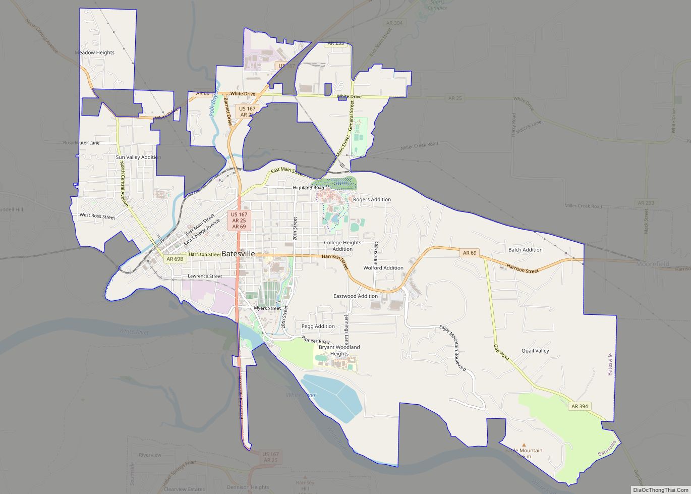
Batesville is the county seat and largest city of Independence County, Arkansas, United States, 80 miles (183 km) northeast of Little Rock, the state capital. According to the 2010 Census, the population of the city was 10,268. The city serves as a regional manufacturing and distribution hub for the Ozark Mountain region and Northeast Arkansas.
| Name: | Batesville city |
|---|---|
| LSAD Code: | 25 |
| LSAD Description: | city (suffix) |
| State: | Arkansas |
| County: | Independence County |
| Founded: | 1821 |
| Incorporated: | 1822 |
| Elevation: | 377 ft (115 m) |
| Total Area: | 11.71 sq mi (30.33 km²) |
| Land Area: | 11.60 sq mi (30.03 km²) |
| Water Area: | 0.11 sq mi (0.30 km²) |
| Total Population: | 11,191 |
| Population Density: | 965.16/sq mi (372.64/km²) |
| ZIP code: | 72501, 72503 |
| Area code: | 870 |
| FIPS code: | 0504030 |
| GNISfeature ID: | 2403819 |
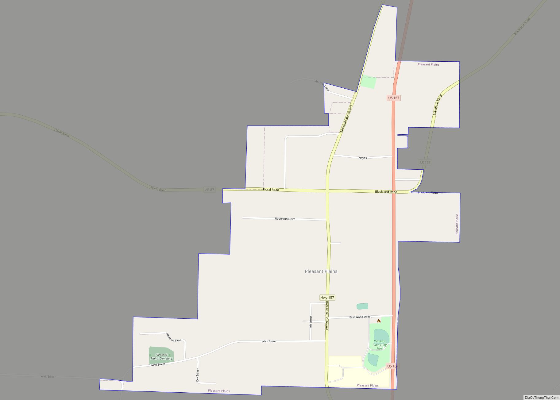
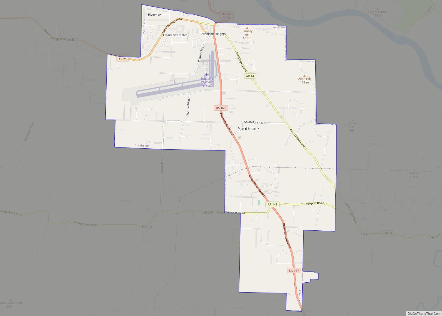
Online Interactive Map
Click on ![]() to view map in "full screen" mode.
to view map in "full screen" mode.
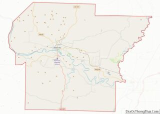
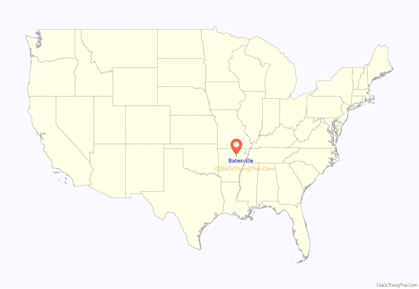
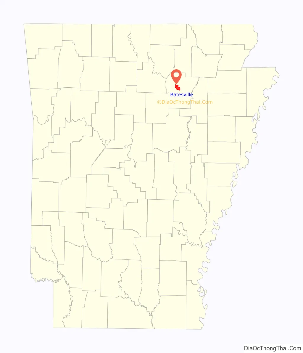
Batesville location map. Where is Batesville city?
History
Batesville is the second oldest municipality after the town of Georgetown — and the oldest city — in the state of Arkansas. It was named for the first territorial delegate from Arkansas to the Congress of the United States, James Woodson Bates, who settled in the town. The town has also gone by the names of Napoleon and Poke Bayou.
In early days, Batesville was an important port on the White River and served as an entry point to the interior of northern Arkansas. Batesville played a large role in the settling of the Ozark Mountains region and served as the central land office for northern Arkansas.
The first known settlement of the Batesville area was in 1810 near the mouth of Polk Bayou, and by 1819 the town had a ferry across the White River and about a dozen houses. The town was partially laid out in early 1821, and on March 3, 1822 a bill of assurance was recorded and executed and the town’s plat was laid out. Batesville became the county seat in 1821. In January 1822, Judge Richard Searcy opened the town’s first state circuit court. The town’s first post office was established in 1822, and in 1830 became the home of a county court. On 25 September 1836, shortly after Arkansas was granted its statehood, Governor Conway incorporated Batesville Academy, the state’s first academy. In the past, the area in and around the city had extensive quarries of manganese ore, phosphate rock, sandstone, limestone, and marble.
Between 1940 and 1941, Batesville had its own minor league baseball team within the Northeast Arkansas League known as the Batesville Pilots. The team later disbanded in 1941.
Batesville currently has only one high school within the city limits, Batesville High School. Also, Batesville is the home of Lyon College, a private liberal arts college affiliated with the Presbyterian Church (U.S.A.), and noted for the annual Arkansas Scottish Festival each fall. In addition, the city is home to the University of Arkansas Community College at Batesville (UACCB), and NASCAR driver Mark Martin. It contains three National Register Historic Districts and many properties separately listed on the National Register of Historic Places. It was listed in Norman Crampton’s 1992 book The 100 Best Small Towns in America, ranking at #75.
Batesville Road Map

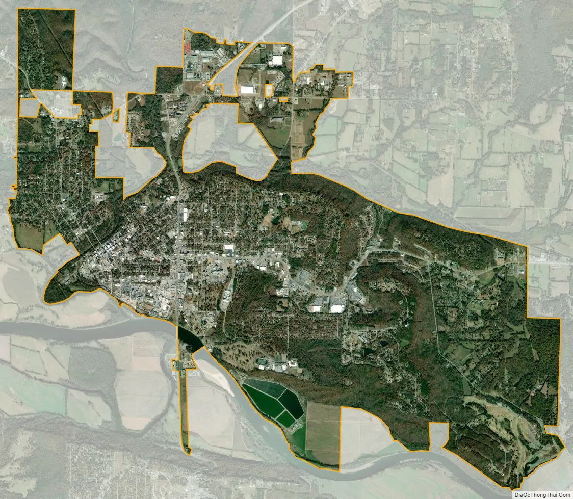
Batesville city Satellite Map
Geography
Batesville is located at 35°46′25″N 91°38′29″W / 35.77361°N 91.64139°W / 35.77361; -91.64139 (35.773488, -91.641338). Batesville lies on the White River.
According to the United States Census Bureau, the city has a total area of 11.11 square miles (28.8 km), of which 10.98 square miles (28.4 km) is land and 0.13 square miles (0.3 km) (0.12%) is water.
See also
Map of Arkansas State and its subdivision:- Arkansas
- Ashley
- Baxter
- Benton
- Boone
- Bradley
- Calhoun
- Carroll
- Chicot
- Clark
- Clay
- Cleburne
- Cleveland
- Columbia
- Conway
- Craighead
- Crawford
- Crittenden
- Cross
- Dallas
- Desha
- Drew
- Faulkner
- Franklin
- Fulton
- Garland
- Grant
- Greene
- Hempstead
- Hot Spring
- Howard
- Independence
- Izard
- Jackson
- Jefferson
- Johnson
- Lafayette
- Lawrence
- Lee
- Lincoln
- Little River
- Logan
- Lonoke
- Madison
- Marion
- Miller
- Mississippi
- Monroe
- Montgomery
- Nevada
- Newton
- Ouachita
- Perry
- Phillips
- Pike
- Poinsett
- Polk
- Pope
- Prairie
- Pulaski
- Randolph
- Saint Francis
- Saline
- Scott
- Searcy
- Sebastian
- Sevier
- Sharp
- Stone
- Union
- Van Buren
- Washington
- White
- Woodruff
- Yell
- Alabama
- Alaska
- Arizona
- Arkansas
- California
- Colorado
- Connecticut
- Delaware
- District of Columbia
- Florida
- Georgia
- Hawaii
- Idaho
- Illinois
- Indiana
- Iowa
- Kansas
- Kentucky
- Louisiana
- Maine
- Maryland
- Massachusetts
- Michigan
- Minnesota
- Mississippi
- Missouri
- Montana
- Nebraska
- Nevada
- New Hampshire
- New Jersey
- New Mexico
- New York
- North Carolina
- North Dakota
- Ohio
- Oklahoma
- Oregon
- Pennsylvania
- Rhode Island
- South Carolina
- South Dakota
- Tennessee
- Texas
- Utah
- Vermont
- Virginia
- Washington
- West Virginia
- Wisconsin
- Wyoming