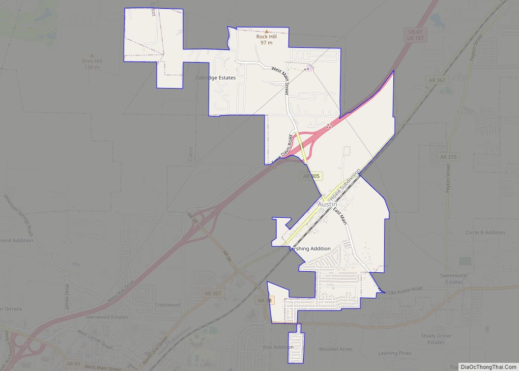
Austin is a city in Lonoke County, Arkansas, United States. The population was 2,038 as of the 2010 census and an estimated 3,693 as of 2018. It is part of the Little Rock–North Little Rock–Conway Metropolitan Statistical Area.
| Name: | Austin city |
|---|---|
| LSAD Code: | 25 |
| LSAD Description: | city (suffix) |
| State: | Arkansas |
| County: | Lonoke County |
| Founded: | circa 1873 |
| Incorporated: | 1895 |
| Elevation: | 246 ft (75 m) |
| Total Area: | 3.10 sq mi (8.02 km²) |
| Land Area: | 3.10 sq mi (8.02 km²) |
| Water Area: | 0.00 sq mi (0.00 km²) |
| Total Population: | 3,460 |
| Population Density: | 1,117.57/sq mi (431.49/km²) |
| ZIP code: | 72007 |
| Area code: | 501 |
| FIPS code: | 0502860 |
| GNISfeature ID: | 0045979 |
| Website: | www.austin-ar.com |
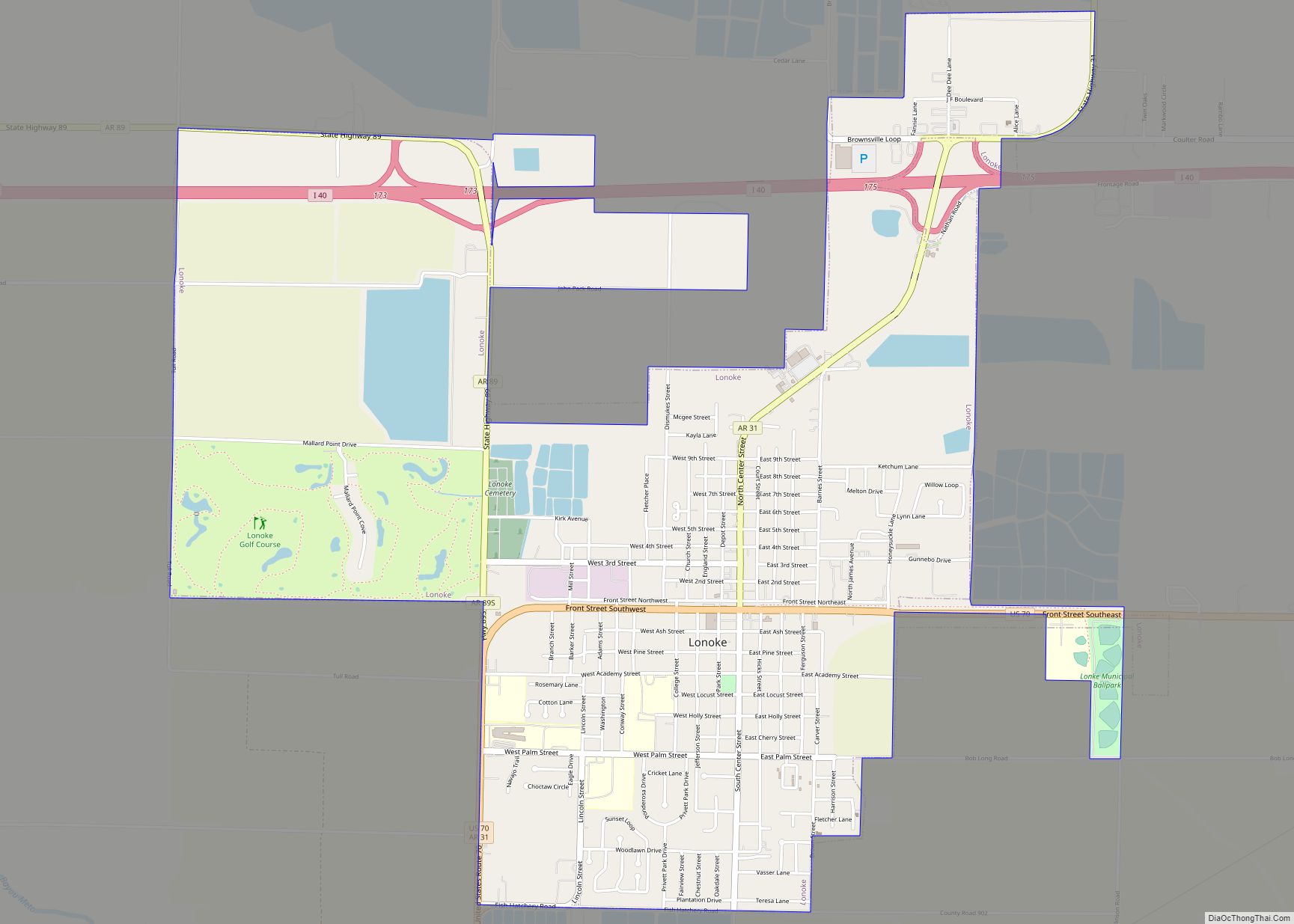
Online Interactive Map
Click on ![]() to view map in "full screen" mode.
to view map in "full screen" mode.
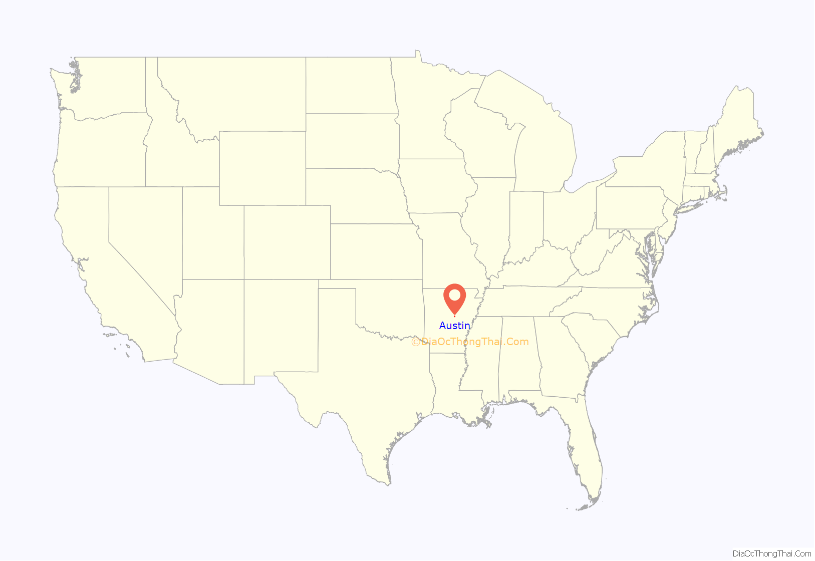
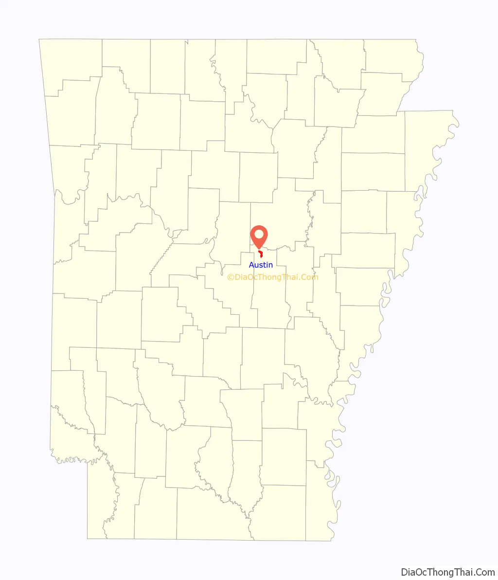
Austin location map. Where is Austin city?
History
The city was first settled circa 1872 when the St. Louis, Iron Mountain and Southern Railroad built its tracks approximately one mile southeast of Old Austin. Many residents of Old Austin moved near the railroad tracks, in some cases uprooting and transporting entire buildings. The new city forming near the tracks was originally known as “Austin Station” to distinguish it from the original Austin, but eventually became known as Austin while the old community became known as “Old Austin”.
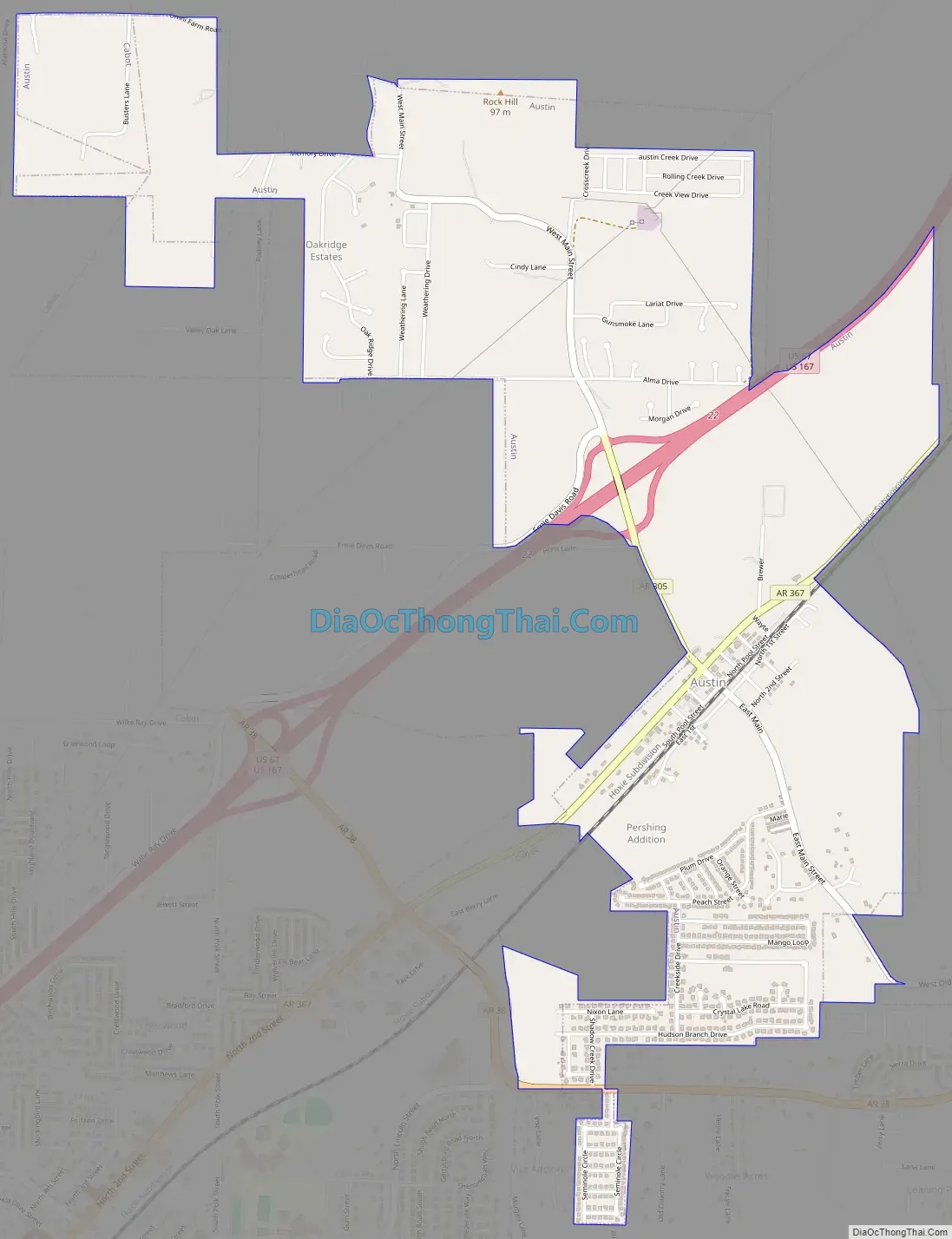
Austin Road Map
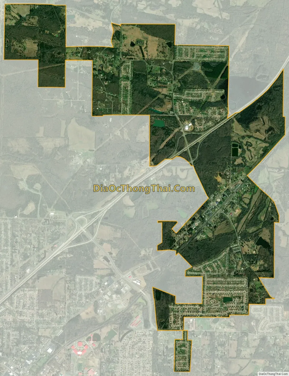
Austin city Satellite Map
Geography
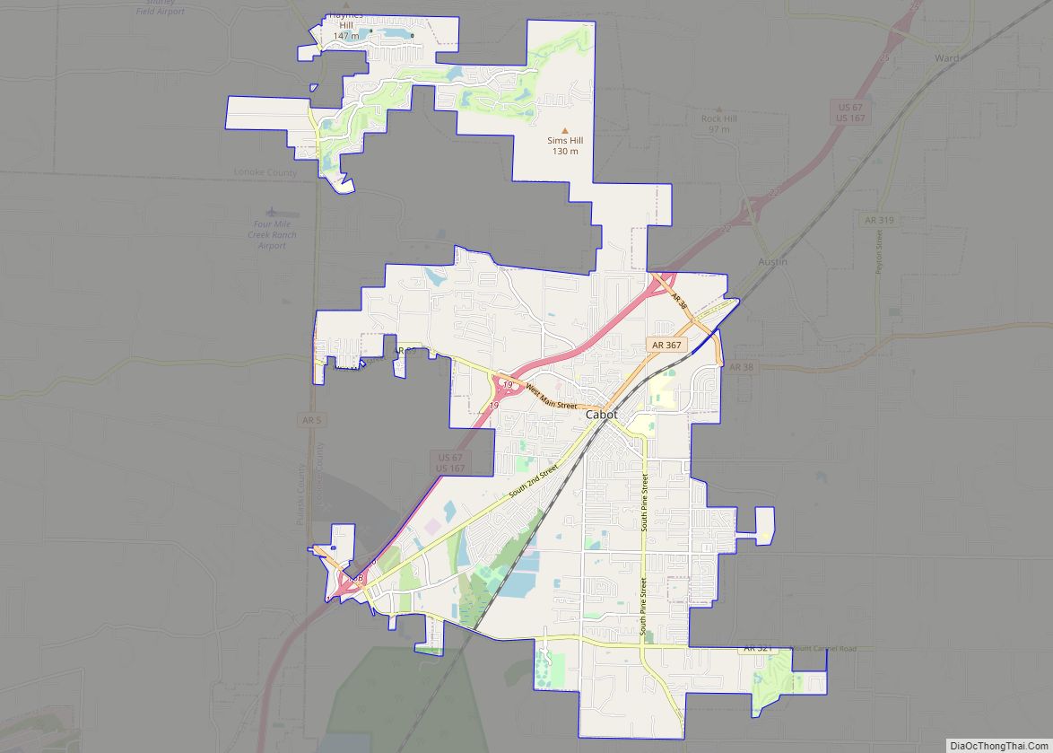
Austin is located in northern Lonoke County at 35°0′19″N 91°59′21″W / 35.00528°N 91.98917°W / 35.00528; -91.98917 (35.005248, -91.989167). It is bordered to the southwest by the city of Cabot and to the northeast by the city of Ward.
U.S. Route 67/167, a four-lane freeway, passes through Austin, with access from Exit 22. Highway 67/167 leads southwest through Cabot 26 miles (42 km) to Little Rock, the state capital, and northeast 23 miles (37 km) to Searcy.
According to the United States Census Bureau, Austin has a total area of 2.9 square miles (7.6 km), all land.
See also
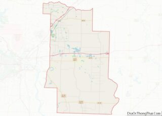
Map of Arkansas State and its subdivision:- Arkansas
- Ashley
- Baxter
- Benton
- Boone
- Bradley
- Calhoun
- Carroll
- Chicot
- Clark
- Clay
- Cleburne
- Cleveland
- Columbia
- Conway
- Craighead
- Crawford
- Crittenden
- Cross
- Dallas
- Desha
- Drew
- Faulkner
- Franklin
- Fulton
- Garland
- Grant
- Greene
- Hempstead
- Hot Spring
- Howard
- Independence
- Izard
- Jackson
- Jefferson
- Johnson
- Lafayette
- Lawrence
- Lee
- Lincoln
- Little River
- Logan
- Lonoke
- Madison
- Marion
- Miller
- Mississippi
- Monroe
- Montgomery
- Nevada
- Newton
- Ouachita
- Perry
- Phillips
- Pike
- Poinsett
- Polk
- Pope
- Prairie
- Pulaski
- Randolph
- Saint Francis
- Saline
- Scott
- Searcy
- Sebastian
- Sevier
- Sharp
- Stone
- Union
- Van Buren
- Washington
- White
- Woodruff
- Yell
- Alabama
- Alaska
- Arizona
- Arkansas
- California
- Colorado
- Connecticut
- Delaware
- District of Columbia
- Florida
- Georgia
- Hawaii
- Idaho
- Illinois
- Indiana
- Iowa
- Kansas
- Kentucky
- Louisiana
- Maine
- Maryland
- Massachusetts
- Michigan
- Minnesota
- Mississippi
- Missouri
- Montana
- Nebraska
- Nevada
- New Hampshire
- New Jersey
- New Mexico
- New York
- North Carolina
- North Dakota
- Ohio
- Oklahoma
- Oregon
- Pennsylvania
- Rhode Island
- South Carolina
- South Dakota
- Tennessee
- Texas
- Utah
- Vermont
- Virginia
- Washington
- West Virginia
- Wisconsin
- Wyoming