Map of Tollette town

Map of Tollette town

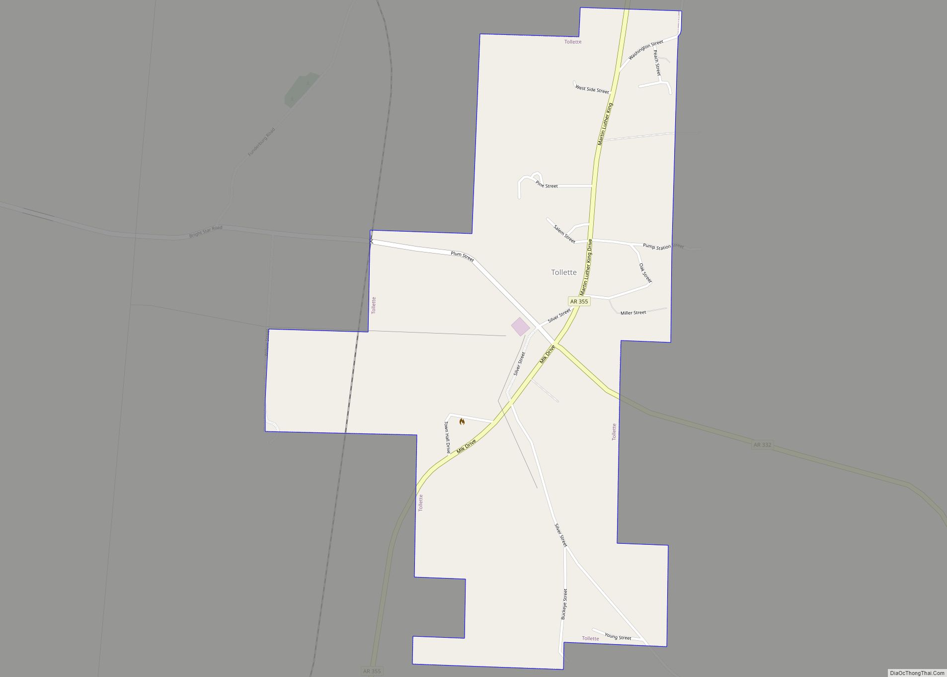
Tollette is a town in southern Howard County, Arkansas, United States. The population was 240 at the 2010 census, down from 324 in 2000. Tollette town overview: Name: Tollette town LSAD Code: 43 LSAD Description: town (suffix) State: Arkansas County: Howard County Elevation: 360 ft (110 m) Total Area: 0.96 sq mi (2.49 km²) Land Area: 0.96 sq mi (2.49 km²) Water Area: … Read more

Map of Tinsman town

Map of Tinsman town

Tinsman is a town in Calhoun County, Arkansas, United States. The population was 54 at the 2010 census. It is part of the Camden Micropolitan Statistical Area. Tinsman town overview: Name: Tinsman town LSAD Code: 43 LSAD Description: town (suffix) State: Arkansas County: Calhoun County Elevation: 177 ft (54 m) Total Area: 0.53 sq mi (1.37 km²) Land Area: 0.53 sq mi … Read more

Map of Trumann city

Map of Trumann city

Trumann is a city in Poinsett County, Arkansas, United States. The population was 7,399 at the 2020 census. It is included in the Jonesboro Metropolitan Statistical Area. Trumann city overview: Name: Trumann city LSAD Code: 25 LSAD Description: city (suffix) State: Arkansas County: Poinsett County Elevation: 226 ft (69 m) Total Area: 5.80 sq mi (15.03 km²) Land Area: 5.80 sq mi … Read more

Map of Traskwood city

Map of Traskwood city

Traskwood is a city in Saline County, Arkansas, United States. The population was 518 at the 2010 census. It is part of the Little Rock–North Little Rock–Conway Metropolitan Statistical Area. Traskwood city overview: Name: Traskwood city LSAD Code: 25 LSAD Description: city (suffix) State: Arkansas County: Saline County Elevation: 318 ft (97 m) Total Area: 5.64 sq mi (14.60 km²) … Read more

Map of Tuckerman city

Map of Tuckerman city

Tuckerman is a city in Jackson County, Arkansas, United States. The population was 1,862 at the 2010 census. Each year, Tuckerman hosts Hometown Days, for the town and fundraiser for the Tuckerman Volunteer Ambulance Service. Tuckerman city overview: Name: Tuckerman city LSAD Code: 25 LSAD Description: city (suffix) State: Arkansas County: Jackson County Elevation: 246 ft … Read more

Map of Tupelo town

Map of Tupelo town, Arkansas

Tupelo is a town in Jackson County, Arkansas, United States. The population was 180 at the 2010 census. Tupelo town overview: Name: Tupelo town LSAD Code: 43 LSAD Description: town (suffix) State: Arkansas County: Jackson County Elevation: 213 ft (65 m) Total Area: 0.28 sq mi (0.72 km²) Land Area: 0.28 sq mi (0.72 km²) Water Area: 0.00 sq mi (0.00 km²) Total Population: 70 Population … Read more

Map of Tumbling Shoals CDP

Map of Tumbling Shoals CDP

Tumbling Shoals is a census-designated place in Cleburne County, Arkansas, United States. Per the 2020 census, the population was 902. Tumbling Shoals CDP overview: Name: Tumbling Shoals CDP LSAD Code: 57 LSAD Description: CDP (suffix) State: Arkansas County: Cleburne County Elevation: 722 ft (220 m) Total Area: 11.26 sq mi (29.16 km²) Land Area: 10.12 sq mi (26.22 km²) Water Area: 1.14 sq mi (2.94 km²) … Read more

Map of Tull town

Map of Tull town

Tull is a town in Grant County, Arkansas, United States. The population was 448 at the 2010 census, up from 358 in 2000. It is part of the Central Arkansas region. Tull town overview: Name: Tull town LSAD Code: 43 LSAD Description: town (suffix) State: Arkansas County: Grant County Elevation: 351 ft (107 m) Total Area: 4.10 sq mi … Read more

Map of Tyronza city

Map of Tyronza city

Tyronza is a city in Poinsett County, Arkansas, United States. The population was 762 at the 2010 census. It is included in the Jonesboro, Arkansas Metropolitan Statistical Area and is in the Arkansas Delta. Tyronza city overview: Name: Tyronza city LSAD Code: 25 LSAD Description: city (suffix) State: Arkansas County: Poinsett County Incorporated: May 17, … Read more

Map of Twin Groves town

Map of Twin Groves town

Twin Groves is a town in northwestern Faulkner County, Arkansas, United States. The name of the town comes from two neighboring communities — Solomon Grove and Zion Grove — which joined to incorporate as a town in 1991. The town’s population was 335 at the 2010 census, up from 276 at the 2000 census. Twin … Read more

Map of Turrell city

Map of Turrell city

Turrell is a city in Crittenden County, Arkansas, United States. Per the 2020 census, the population was 517. Turrell city overview: Name: Turrell city LSAD Code: 25 LSAD Description: city (suffix) State: Arkansas County: Crittenden County Elevation: 226 ft (69 m) Total Area: 5.36 sq mi (13.89 km²) Land Area: 5.35 sq mi (13.85 km²) Water Area: 0.02 sq mi (0.05 km²) Total Population: 517 Population … Read more

Map of Van Buren city

Map of Van Buren city, Arkansas

Van Buren (/væn ˈbjʊərən/ van BURE-ən) is the second-largest city in the Fort Smith, Arkansas–Oklahoma Metropolitan Statistical Area and the county seat of Crawford County, Arkansas, United States. The city is located directly northeast of Fort Smith at the Interstate 40 – Interstate 540 junction. The city was incorporated in 1845 and as of the 2010 census … Read more