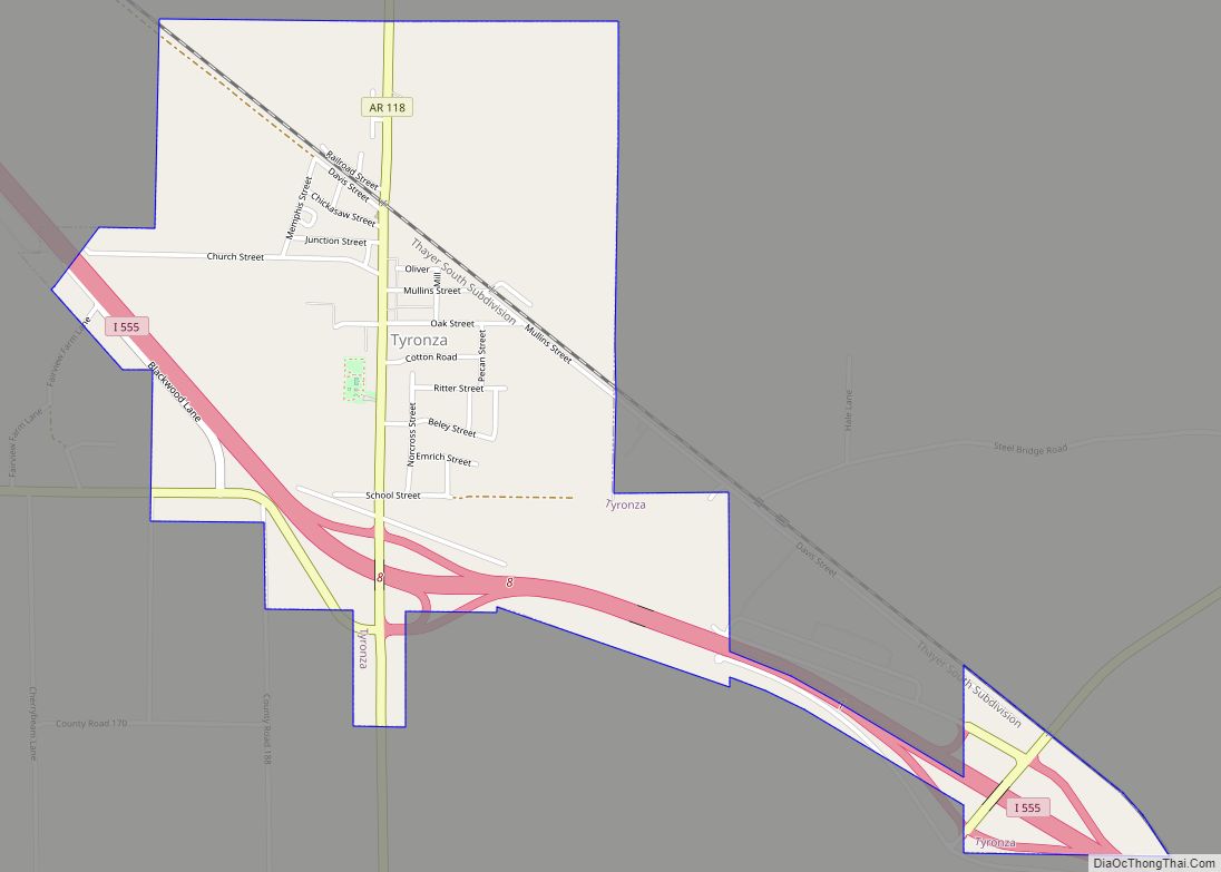
Tyronza is a city in Poinsett County, Arkansas, United States. The population was 762 at the 2010 census. It is included in the Jonesboro, Arkansas Metropolitan Statistical Area and is in the Arkansas Delta.
| Name: | Tyronza city |
|---|---|
| LSAD Code: | 25 |
| LSAD Description: | city (suffix) |
| State: | Arkansas |
| County: | Poinsett County |
| Incorporated: | May 17, 1926 |
| Elevation: | 226 ft (69 m) |
| Total Area: | 1.55 sq mi (4.03 km²) |
| Land Area: | 1.55 sq mi (4.03 km²) |
| Water Area: | 0.00 sq mi (0.00 km²) |
| Total Population: | 716 |
| Population Density: | 460.45/sq mi (177.77/km²) |
| ZIP code: | 72386 |
| Area code: | 870 |
| FIPS code: | 0570700 |
| GNISfeature ID: | 0055773 |
Online Interactive Map
Click on ![]() to view map in "full screen" mode.
to view map in "full screen" mode.
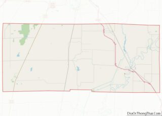
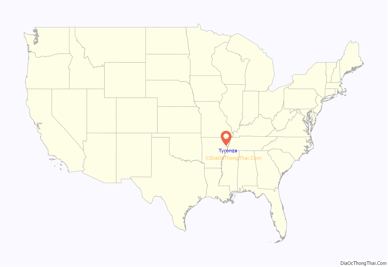
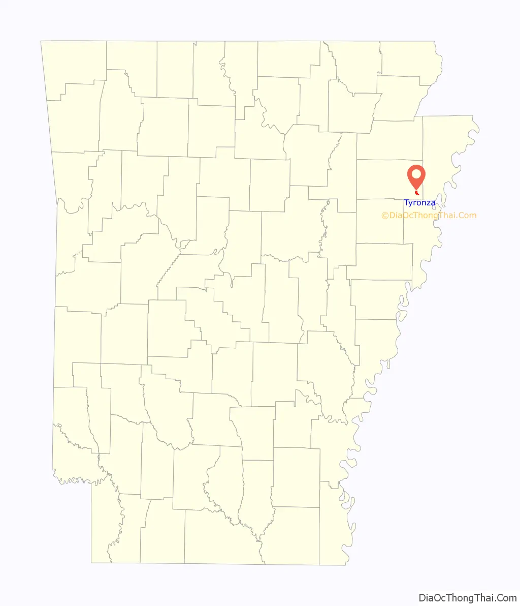
Tyronza location map. Where is Tyronza city?
History
Tyronza is one of the oldest cities within Poinsett County with its origins dating back to the late 19th century. In the 1930s, it was the site where the Southern Tenant Farmers movement started what became a national outcry against the abusive discrimination by wealthy land owners against the mostly African-American sharecroppers. A museum in the city, operated by Arkansas State University, highlights the history of organizing by tenant farmers in order to secure better prices and conditions, and the history of the region.
Tyronza was the home of Dr. L. H. McDaniel, a local physician who became friends with President Lyndon Baines Johnson through his political involvement in the Democratic Party. McDaniel was a close advisor to Johnson and to U.S. House Ways and Means Chairman Wilbur D. Mills (D-Arkansas) in the creation of the Medicare and Medicaid programs which began in 1965, the year McDaniel died. He treated patients all over eastern Arkansas regardless of their ability to pay and often accepted live chickens, baked goods and garden vegetables as payment for his home visits. McDaniel was a national delegate to Democratic Conventions in the 1950s and brought national political and medical leaders to Tyronza with conferences he set up in huge 1,000-seat tents on the outskirts of the city.
Although the community started as a county farming and retail center, it has become a bedroom community for its many residents who work in Jonesboro or Memphis but who prefer the small town lifestyle.
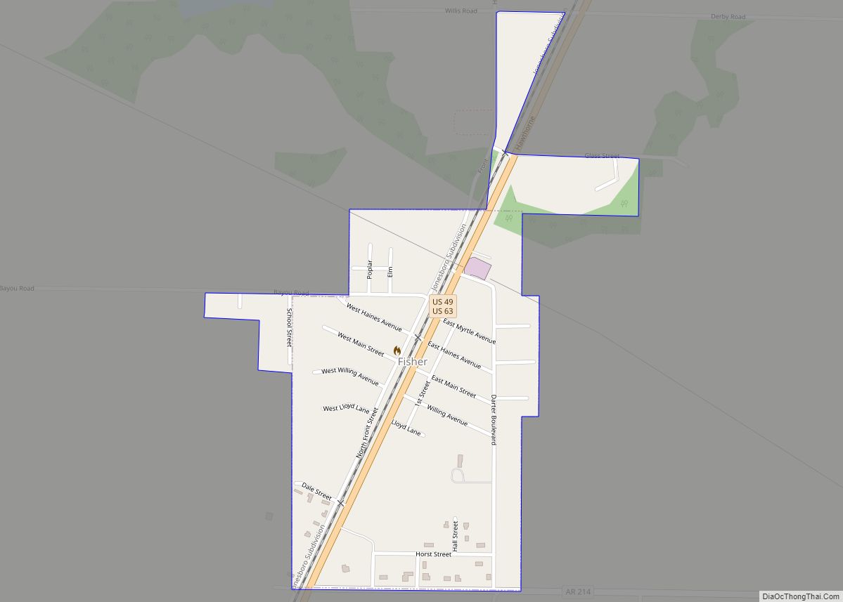
Tyronza Road Map
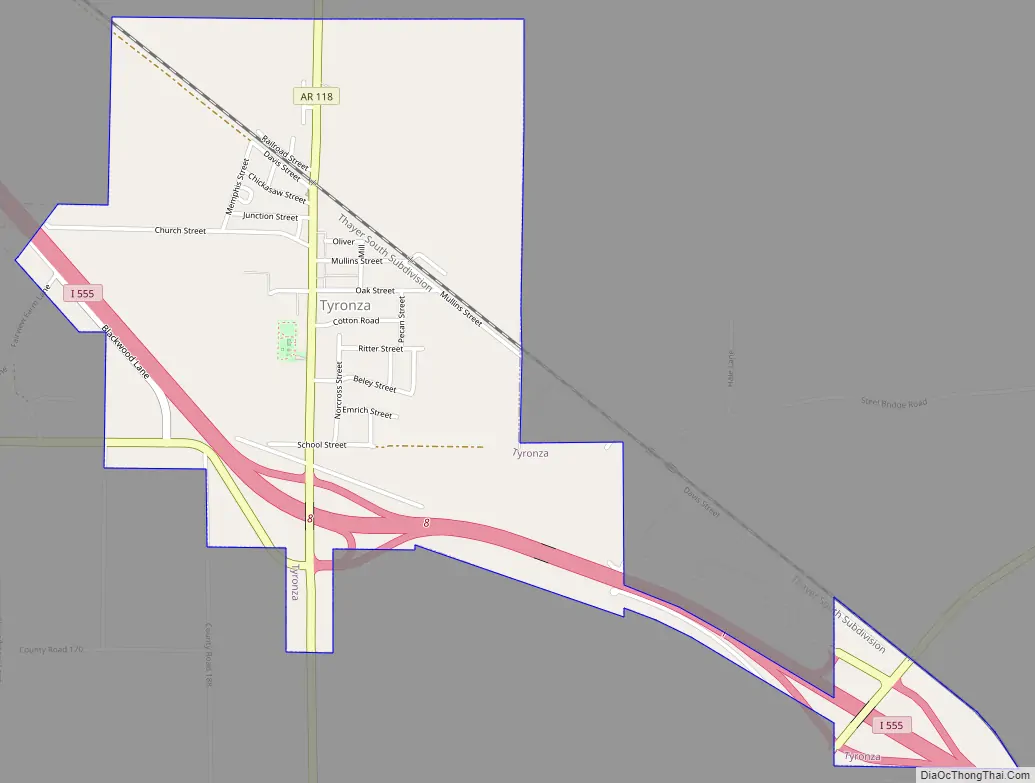
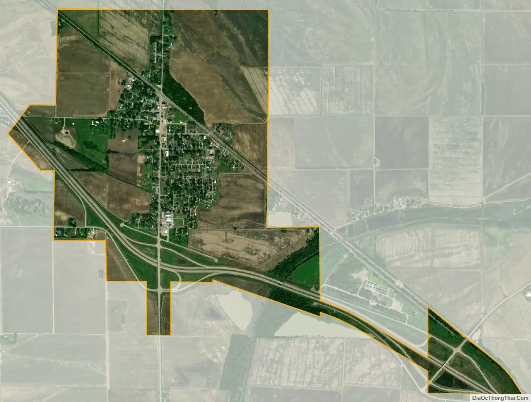
Tyronza city Satellite Map
Geography
Tyronza is located at 35°29′N 90°21′W / 35.483°N 90.350°W / 35.483; -90.350 (35.487, -90.357).
According to the United States Census Bureau, the town has a total area of 4.1 km (1.6 mi), all land.
See also
Map of Arkansas State and its subdivision:- Arkansas
- Ashley
- Baxter
- Benton
- Boone
- Bradley
- Calhoun
- Carroll
- Chicot
- Clark
- Clay
- Cleburne
- Cleveland
- Columbia
- Conway
- Craighead
- Crawford
- Crittenden
- Cross
- Dallas
- Desha
- Drew
- Faulkner
- Franklin
- Fulton
- Garland
- Grant
- Greene
- Hempstead
- Hot Spring
- Howard
- Independence
- Izard
- Jackson
- Jefferson
- Johnson
- Lafayette
- Lawrence
- Lee
- Lincoln
- Little River
- Logan
- Lonoke
- Madison
- Marion
- Miller
- Mississippi
- Monroe
- Montgomery
- Nevada
- Newton
- Ouachita
- Perry
- Phillips
- Pike
- Poinsett
- Polk
- Pope
- Prairie
- Pulaski
- Randolph
- Saint Francis
- Saline
- Scott
- Searcy
- Sebastian
- Sevier
- Sharp
- Stone
- Union
- Van Buren
- Washington
- White
- Woodruff
- Yell
- Alabama
- Alaska
- Arizona
- Arkansas
- California
- Colorado
- Connecticut
- Delaware
- District of Columbia
- Florida
- Georgia
- Hawaii
- Idaho
- Illinois
- Indiana
- Iowa
- Kansas
- Kentucky
- Louisiana
- Maine
- Maryland
- Massachusetts
- Michigan
- Minnesota
- Mississippi
- Missouri
- Montana
- Nebraska
- Nevada
- New Hampshire
- New Jersey
- New Mexico
- New York
- North Carolina
- North Dakota
- Ohio
- Oklahoma
- Oregon
- Pennsylvania
- Rhode Island
- South Carolina
- South Dakota
- Tennessee
- Texas
- Utah
- Vermont
- Virginia
- Washington
- West Virginia
- Wisconsin
- Wyoming