Van Buren (/væn ˈbjʊərən/ van BURE-ən) is the second-largest city in the Fort Smith, Arkansas–Oklahoma Metropolitan Statistical Area and the county seat of Crawford County, Arkansas, United States. The city is located directly northeast of Fort Smith at the Interstate 40 – Interstate 540 junction. The city was incorporated in 1845 and as of the 2010 census had a population of 22,791, ranking it as the state’s 22nd-largest city, behind Searcy.
| Name: | Van Buren city |
|---|---|
| LSAD Code: | 25 |
| LSAD Description: | city (suffix) |
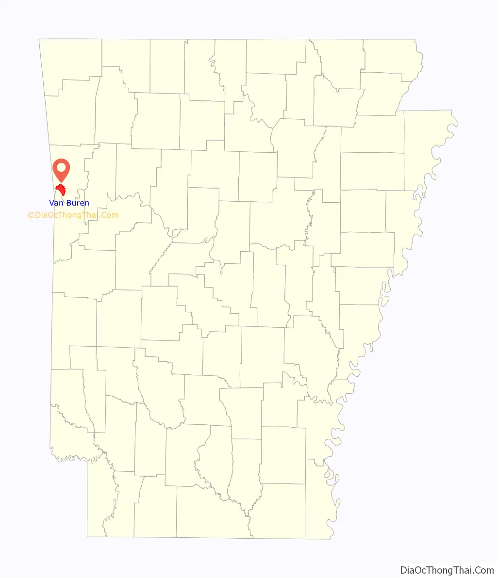
| State: | Arkansas |
| County: | Crawford County |
| Incorporated: | January 4, 1845 |
| Elevation: | 650 ft (200 m) |
| Land Area: | 15.42 sq mi (39.94 km²) |
| Water Area: | 0.68 sq mi (1.76 km²) |
| Population Density: | 1,505.61/sq mi (581.34/km²) |
| Area code: | 479 |
| FIPS code: | 0571480 |
| GNISfeature ID: | 2405637 |
| Website: | vanburencity.org |
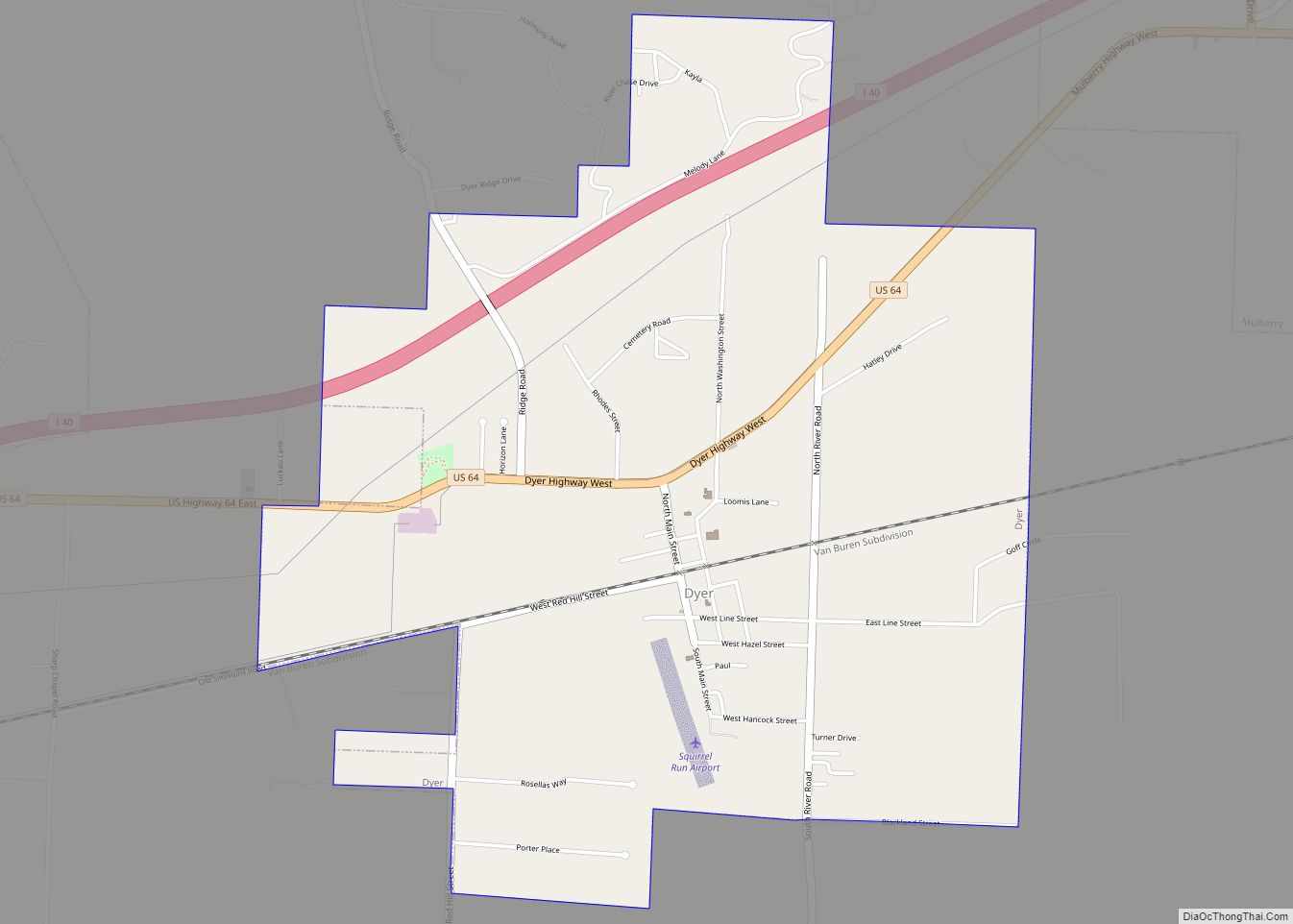
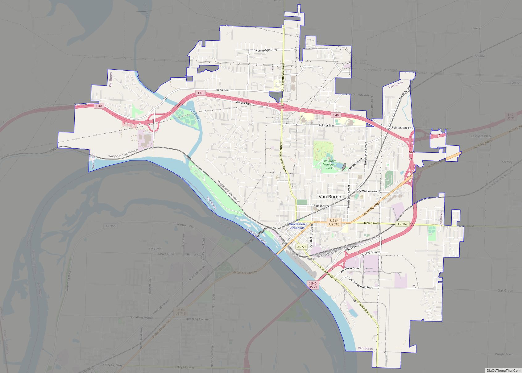
Online Interactive Map
Click on ![]() to view map in "full screen" mode.
to view map in "full screen" mode.
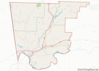
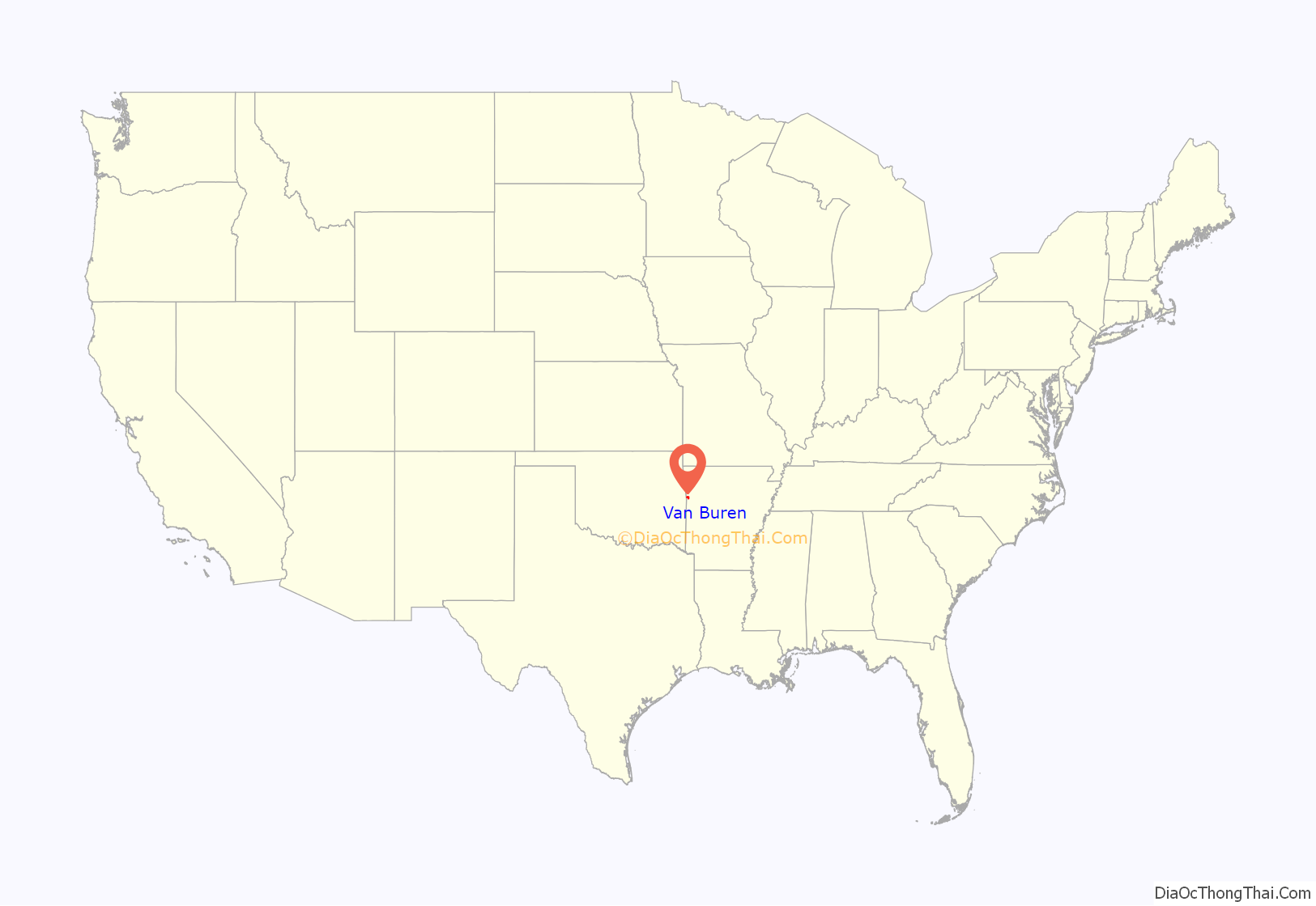
Van Buren location map. Where is Van Buren city?
History
Early history
The area was settled by David Boyd and Thomas Martin in 1818. After Arkansas became a territory in 1819, Daniel and Thomas Phillips constructed a lumber yard in the community to serve as a fuel depot for traffic along the Arkansas River. In 1831, a post office was constructed for the community, at the time known as Phillips Landing. This post office was named after newly appointed Secretary of State and future President Martin Van Buren.
John Drennen, along with his partner David Thompson, purchased the area for US$11,000. They moved their business of supplying firewood for steamboats to this new location on higher ground. The courthouse was constructed on a lot of land donated by Drennen on the condition that Van Buren become the county seat. The Drennen Reserve is one of the town’s existing historical sites from the 1830s.
Van Buren was incorporated on January 4, 1845.
American Civil War
On December 28, 1862, Union and Confederate forces clashed in and around Van Buren, resulting in a defeat for the Confederates, led by Major General T. C. Hindman, driving them south across the river with minimal casualties. Federal forces captured 100 prisoners, as stated in an official report by Major General Samuel R. Curtis.
2019 flood
In late May to early June 2019, the Arkansas River was suspected to crest at nearly 43 feet (13 m), which is 21 feet (6.4 m) above the flood stage. The river approached 41 feet (12 m) and destroyed or damaged low-lying areas. All of the levees that were reinforced from the 1943-45 flood held in place, except for one spot along highway 59 south, which were reinforced during this flood that saved many farm lands in this low-lying area. This flood would have destroyed a lot of land, homes and businesses if the levees had not been reconstructed after the earlier 1940s flood.
1996 tornado
On April 21, 1996, at 11:12 p.m., an F3 tornado hit the Fort Smith/Van Buren area causing extensive damage. The tornado, which spawned in Oklahoma and crossed into west Fort Smith near the confluence of the Arkansas and Poteau rivers, killed two, injured 89 and caused $300 million in damage. The fatalities were small children from Fort Smith. At its worst, the tornado was one half mile across. After leaving the downtown area of Fort Smith, it traveled northeast through industrial and residential sections of north Fort Smith, then crossed the Arkansas River again into the Mount Vista area on the west side of Van Buren and damaged a highly residential area where no fatalities occurred, although this area was very populated at the time. The total distance it traveled on the ground was 7 miles (11 km). In total, there were around 1,800 homes damaged, the majority of which were in Van Buren.
Physical geography
Van Buren is located in the southwest corner of Crawford County with the Arkansas–Oklahoma state line just 2 miles (3 km) to the west. The Arkansas River forms the southern boundary of the city, separating it from Fort Smith of Sebastian County. Lee Creek flows through the western side of the city into the Arkansas River. According to the United States Census Bureau, Van Buren has a total area of 16.5 square miles (42.7 km), of which 15.4 square miles (40.0 km) is land and 1.0 square mile (2.7 km), or 6.34%, is water.
Climate
Van Buren lies within a humid subtropical climate area. The city also lies on the eastern edge of the region known as Tornado Alley. Average temperatures range from 36°F in January, to as high an average of 81 °F in July with temperatures reaching the high 90s and low 100s in August. The average annual temperature is approximately 60 °F. Average precipitation is about 41 total inches, with only six inches being snow.
July and August are the hottest months of the year, with an average high of 93 °F (34 °C) and an average low of 71.5 °F (21.9 °C). Temperatures above 100 °F (37.8 °C) are not uncommon, occurring on average eleven times a year. December and January are the coldest months with an average high of 50.5 °F (10.3 °C) and an average low of 30 °F (−1 °C). Highs below 32 °F (0.0 °C) occur on average five times a year, with 0.2 nights per year dropping below 0 °F (−17.8 °C). The city’s highest temperature was 113 °F (45.0 °C), recorded in 1936. The lowest temperature recorded was −15 °F (−26.1 °C), in 1899.
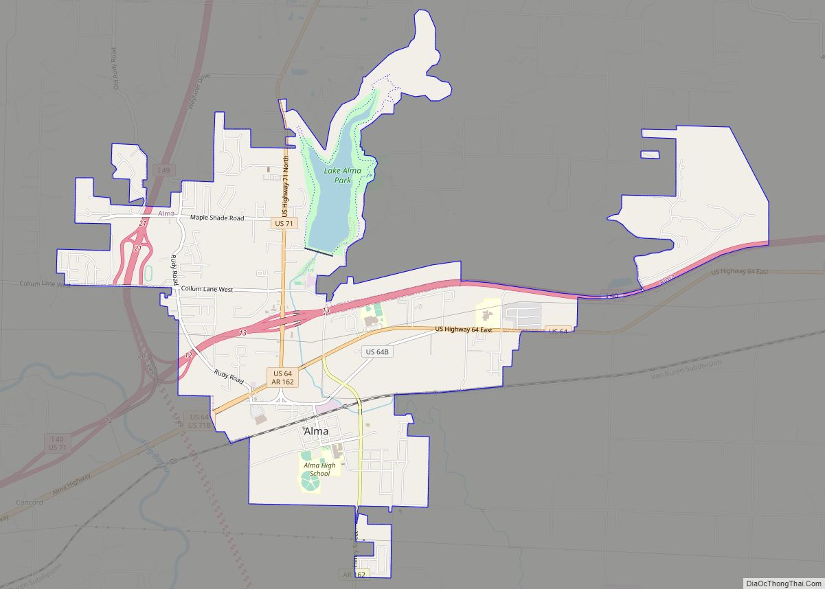
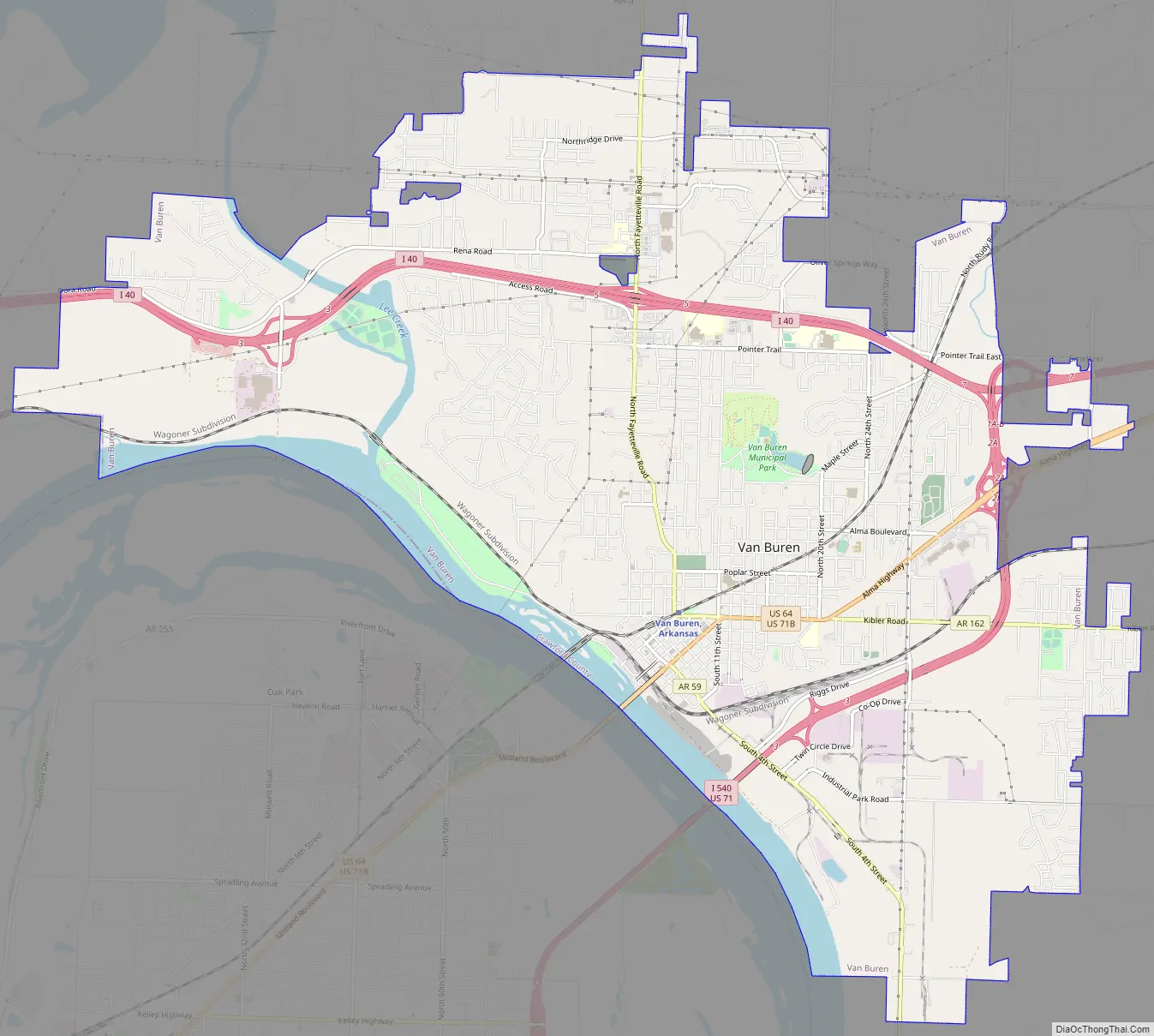
Van Buren Road Map
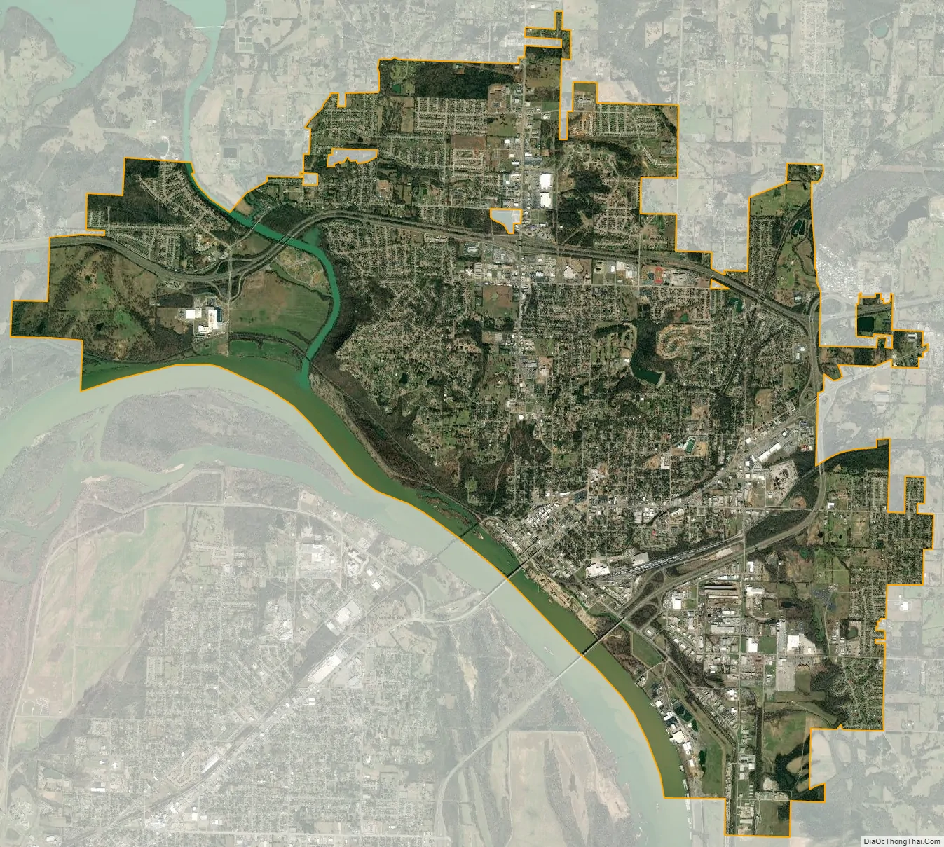
Van Buren city Satellite Map
See also
Map of Arkansas State and its subdivision:- Arkansas
- Ashley
- Baxter
- Benton
- Boone
- Bradley
- Calhoun
- Carroll
- Chicot
- Clark
- Clay
- Cleburne
- Cleveland
- Columbia
- Conway
- Craighead
- Crawford
- Crittenden
- Cross
- Dallas
- Desha
- Drew
- Faulkner
- Franklin
- Fulton
- Garland
- Grant
- Greene
- Hempstead
- Hot Spring
- Howard
- Independence
- Izard
- Jackson
- Jefferson
- Johnson
- Lafayette
- Lawrence
- Lee
- Lincoln
- Little River
- Logan
- Lonoke
- Madison
- Marion
- Miller
- Mississippi
- Monroe
- Montgomery
- Nevada
- Newton
- Ouachita
- Perry
- Phillips
- Pike
- Poinsett
- Polk
- Pope
- Prairie
- Pulaski
- Randolph
- Saint Francis
- Saline
- Scott
- Searcy
- Sebastian
- Sevier
- Sharp
- Stone
- Union
- Van Buren
- Washington
- White
- Woodruff
- Yell
- Alabama
- Alaska
- Arizona
- Arkansas
- California
- Colorado
- Connecticut
- Delaware
- District of Columbia
- Florida
- Georgia
- Hawaii
- Idaho
- Illinois
- Indiana
- Iowa
- Kansas
- Kentucky
- Louisiana
- Maine
- Maryland
- Massachusetts
- Michigan
- Minnesota
- Mississippi
- Missouri
- Montana
- Nebraska
- Nevada
- New Hampshire
- New Jersey
- New Mexico
- New York
- North Carolina
- North Dakota
- Ohio
- Oklahoma
- Oregon
- Pennsylvania
- Rhode Island
- South Carolina
- South Dakota
- Tennessee
- Texas
- Utah
- Vermont
- Virginia
- Washington
- West Virginia
- Wisconsin
- Wyoming