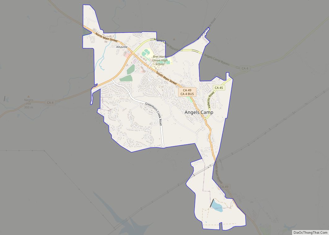
Map of Aptos Hills-Larkin Valley CDP

Map of Aptos Hills-Larkin Valley CDP

Aptos Hills-Larkin Valley is an unincorporated community in Santa Cruz County, California, United States. It is identified as one of several small communities with a combined population of 24,402 forming the unincorporated town of Aptos by the local Chamber of Commerce along with: Cabrillo Seacliff, south of State Route 1, west of Aptos Creek Rio … Read more

Map of Apple Valley town

Map of Apple Valley town, California

Apple Valley is an incorporated town in the Victor Valley of San Bernardino County, in the U.S. state of California. It was incorporated on November 14, 1988, and is one of the 22 incorporated municipalities in California that use “town” in their names instead of “city”. The town is east of and adjoining to the … Read more

Map of Anza CDP

Map of Anza CDP

Anza is a census-designated place located in southern Riverside County, California, in the Anza Valley, a semi-arid region at a mean elevation of 3,921 feet (1,195 m) above sea level. It is located 13 miles (21 km) south of Idyllwild, 32 miles (51 km) east-northeast of Temecula, 40 miles (64 km) southwest of Palm Springs, and 90 miles (140 km) … Read more

Map of Arcadia city

Map of Arcadia city, California

Arcadia is a city in Los Angeles County, California, United States, located about 13 miles (21 km) northeast of downtown Los Angeles in the San Gabriel Valley and at the base of the San Gabriel Mountains. It contains a series of adjacent parks consisting of the Santa Anita Park racetrack, the Los Angeles County Arboretum and … Read more

Map of Arbuckle CDP

Map of Arbuckle CDP

Arbuckle is a census-designated place (CDP) in Colusa County, California, United States. The population was 3,028 at the 2010 census, up from 2,332 at the 2000 census. Arbuckle is situated in the southerly portion of Colusa County, approximately 20 miles (32 km) southwest of the City of Colusa, the county seat. The town is characterized by … Read more

Map of Aptos CDP

Map of Aptos CDP

Aptos (Ohlone for “The People”) is an unincorporated town in Santa Cruz County, California. The town is made up of several small villages, which together form Aptos: Aptos Hills-Larkin Valley, Aptos Village, Cabrillo, Seacliff, Rio del Mar, and Seascape. Together, they have a combined population of 24,402. Aptos CDP overview: Name: Aptos CDP LSAD Code: … Read more

Map of Armona CDP

Map of Armona CDP

Armona is a census-designated place (CDP) in Kings County, California, United States. Armona is located 3.5 miles (5.6 km) west-southwest of Hanford, at an elevation of 239 feet (73 m). It is part of the Hanford–Corcoran Metropolitan Statistical Area. The population was 4,156 at the 2010 census. Armona’s motto is “Small and Loud”. Armona CDP overview: Name: … Read more

Map of Arden-Arcade CDP

Map of Arden-Arcade CDP

Arden-Arcade is a census-designated place (CDP) in Sacramento County, California, United States. The population was 92,186 at the 2010 census, making it the second most populous census-designated place in California. It is east of the city of Sacramento and west of the community of Carmichael. Arden-Arcade is a principal locality of the Sacramento–Arden-Arcade–Roseville Metropolitan Statistical … Read more

Map of Arcata city

Map of Arcata city

Arcata (/ɑːrˈkeɪ.tə/; Wiyot: Goudi’ni; Yurok: Oket’oh) is a city adjacent to the Arcata Bay (northern) portion of Humboldt Bay in Humboldt County, California, United States. At the 2020 census, Arcata’s population was 18,857. Arcata was first colonized in 1850 as Union, was officially established in 1858, and was renamed Arcata in 1860. It is located … Read more

Map of Arroyo Grande city

Map of Arroyo Grande city

Arroyo Grande (Spanish for “Big Creek”) is a city in San Luis Obispo County, California, United States. The population was 18,441 as of the 2020 census, up from 17,252 as of the 2010 Census. Arroyo Grande city overview: Name: Arroyo Grande city LSAD Code: 25 LSAD Description: city (suffix) State: California County: San Luis Obispo … Read more

Map of Aromas CDP

Map of Aromas CDP

Aromas (Spanish for “Perfumes”) is an unincorporated community and census-designated place (CDP) in Monterey County and San Benito County, California, United States. The population was 2,708 at the 2020 census. The CDP straddles the border of the two counties, with Monterey County to the west and San Benito County to the east. The Santa Cruz … Read more

Map of Arnold CDP

Map of Arnold CDP, California

Arnold is a census-designated place (CDP) in Calaveras County, California, United States. The population was 3,843 at the 2010 census, down from 4,218 at the 2000 census. Arnold is located on State Route 4. Arnold CDP overview: Name: Arnold CDP LSAD Code: 57 LSAD Description: CDP (suffix) State: California County: Calaveras County Elevation: 4,000 ft (1,219 m) … Read more