Arcata (/ɑːrˈkeɪ.tə/; Wiyot: Goudi’ni; Yurok: Oket’oh) is a city adjacent to the Arcata Bay (northern) portion of Humboldt Bay in Humboldt County, California, United States. At the 2020 census, Arcata’s population was 18,857. Arcata was first colonized in 1850 as Union, was officially established in 1858, and was renamed Arcata in 1860. It is located 280 miles (450 km) north of San Francisco (via Highway 101), and is home to California State Polytechnic University, Humboldt. Arcata is also the location of the Arcata Field Office of the Federal Bureau of Land Management, which is responsible for the administration of natural resources, lands and mineral programs, including the Headwaters Forest, on approximately 200,000 acres (810 km) of public land in Northwestern California.
| Name: | Arcata city |
|---|---|
| LSAD Code: | 25 |
| LSAD Description: | city (suffix) |
| State: | California |
| County: | Humboldt County |
| Incorporated: | February 2, 1858 |
| Elevation: | 23 ft (7 m) |
| Total Area: | 11.44 sq mi (29.63 km²) |
| Land Area: | 9.42 sq mi (24.40 km²) |
| Water Area: | 2.02 sq mi (5.23 km²) 17.25% |
| Total Population: | 18,857 |
| Population Density: | 2,001.59/sq mi (772.83/km²) |
| ZIP code: | 95518, 95521 |
| Area code: | 707 |
| FIPS code: | 0602476 |
| Website: | www.cityofarcata.org |
Online Interactive Map
Click on ![]() to view map in "full screen" mode.
to view map in "full screen" mode.
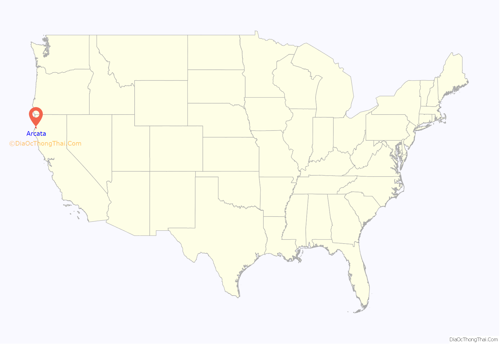
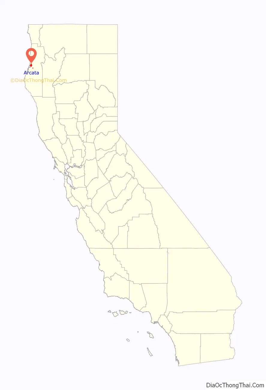
Arcata location map. Where is Arcata city?
History
Indigenous Native American
The Wiyot people and Yurok people inhabited this area prior to the arrival of Europeans and continue to live in the area. “Kori” is the name for the Wiyot settlement that existed on the site of what would become Arcata. The name “Arcata” comes from the Yurok term oket’oh, meaning “where there is a lagoon” (referring to Humboldt Bay), from o-, “place”, plus ket’oh, “to be a lagoon”. The same name was also used by the Yuroks for Big Lagoon. The natives of this region are the farthest-southwest people whose language has Algic roots, a language family shared with the Algonquian. The traditional homeland of the Wiyot ranged from the Little River in the north and continues south through Humboldt Bay (including the present cities of Eureka and Arcata) and then south to the lower Eel River basin. The traditional homeland of the Yurok ranges from Mad River to beyond the Klamath River in the north. Today, Arcata is the headquarters of the Big Lagoon Rancheria tribe, who maintain a 20-acre (81,000 m) reservation close by. Local Indian tribes operate several casinos in the area. In a coordinated 1860 massacre, significant numbers of Wiyot people were killed by white settlers at several locations in and around Humboldt Bay, including the center of their society, the island known to them as Duluwat Island. A local newspaper editor, who would later be known as Bret Harte, was forced to leave the Humboldt Bay area after he editorialized his disgust with the incident.
Westernization
The Spaniards claimed the area but never settled it; the first permanent settlements occurred after California was admitted to the Union. Arcata was first settled as Union in 1850. Union was created as a port, and reprovisioning center for the gold mines in the Klamath, Trinity, and Salmon mountains to the east, and was very briefly the county seat during this period. It was slightly closer to the mines than Eureka, which gave Union an early advantage. What was to become the first significant town on Humboldt Bay began as Union Company employees laid out the plaza and first city streets in the Spring of 1850. By later in the 1850s redwood timber replaced the depleted gold fields as the economic driver for the region and Eureka became the principal city on the bay due to its possession of the better harbor, gaining it the county seat by the end of the decade.
The Union town post office opened in 1852, and the town changed its name to Arcata in 1860.
In 1886, concern over the growing number of unassimilated immigrants led Arcata to expel its Chinese population and enact the following resolution: “We, the citizens of Arcata and vicinity, wish the total expulsion of the Chinese from our midst. We endorse the efforts of Eureka to exclude all Chinese settlements in the city and environs.”
History and images of early settler families in Arcata are cataloged in the Susie Baker Fountain Papers and True Hoyle Collection at California State Polytechnic University, Humboldt. These collections also include images of important social events in the Arcata area, such as graduations at Arcata High School as early as 1910, as well as images of social gatherings at the Arcata plaza before the Statue of William McKinley (Arcata, California) was erected in the center from 1906 until its relocation in 2019.
Recent history
In August 1989, the voters of Arcata passed the Nuclear Weapons Free Zone Act, prohibiting work on nuclear weapons, and the storage or transportation of nuclear weapons within the City Limits. The ordinance also minimized the city’s contracts for and purchases of the products and services of nuclear weapons contractors. On March 17, 2010, the Arcata city council voted for final passage of a Unlawful Panhandling ordinance (Ordinance No. 1399). Among other restrictions, it forbids panhandling within 20 feet (6.1 m) of any business.
Arcata Road Map
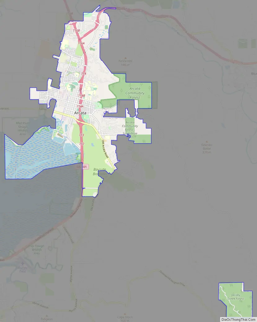
Arcata city Satellite Map

Geography
According to the United States Census Bureau, the city has a total area of 11.0 square miles (28.5 km), of which 9.1 square miles (23.6 km) is land and 1.9 square miles (4.9 km), comprising 17.25%, is water.
Arcata contains major public and shopping areas within the city. They include: the Downtown/Plaza Area, Northtown, and Valley West (each of these are also large neighborhoods). There are additional named neighborhoods encompassed by the city: They include: Aldergrove, Alliance (which was once a separate community located North of Arcata), Arcata Bottoms, portions of Bayside (despite it having its own Post Office and postal code), Bayview, California Heights, the Creamery District, Fickle Hill (lower portions), Greenview, the Marsh District (aka South G Street), Redwood Park (which includes the City owned Redwood forest), Sunny Brae, Sunset, and Westwood. Arcata also has the Arcata Marsh, a preserve located on the city’s bay shore.
Climate
Arcata has a cool-summer Mediterranean climate (Köppen Csb), which is dominated by marine influences associated with Humboldt Bay and the Pacific Ocean. These influences make the climate in the city much cooler than that of a typical Mediterranean climate and more on par with that of an oceanic climate. On average, Arcata experiences 40 to 50 inches (1,000 to 1,300 mm) of rain per year, though there is a short but pronounced dry season from June to September. Northerly winds keep the spring very cool and create a coastal upwelling of deep, cold ocean water. This upwelling in turn results in foggy conditions throughout the summer, with high temperatures commonly in the 50s and low 60s. Yet just a few miles inland the temperatures may be up to 25 °F (14 °C) degrees warmer in the summer and fall. This is even more pronounced further inland in the Trinity River valley.
Winter high temperatures average in the low 40s to mid-50s, with lows in the mid-30s to lower 40s. Temperatures infrequently dip below 30 °F (−1 °C) in the winter, and nearly as infrequently climb above 72 °F (22 °C) in the summer and fall.
Arcata has higher record temperatures than county seat Eureka, although averages are very similar.
See also
Map of California State and its subdivision:- Alameda
- Alpine
- Amador
- Butte
- Calaveras
- Colusa
- Contra Costa
- Del Norte
- El Dorado
- Fresno
- Glenn
- Humboldt
- Imperial
- Inyo
- Kern
- Kings
- Lake
- Lassen
- Los Angeles
- Madera
- Marin
- Mariposa
- Mendocino
- Merced
- Modoc
- Mono
- Monterey
- Napa
- Nevada
- Orange
- Placer
- Plumas
- Riverside
- Sacramento
- San Benito
- San Bernardino
- San Diego
- San Francisco
- San Joaquin
- San Luis Obispo
- San Mateo
- Santa Barbara
- Santa Clara
- Santa Cruz
- Shasta
- Sierra
- Siskiyou
- Solano
- Sonoma
- Stanislaus
- Sutter
- Tehama
- Trinity
- Tulare
- Tuolumne
- Ventura
- Yolo
- Yuba
- Alabama
- Alaska
- Arizona
- Arkansas
- California
- Colorado
- Connecticut
- Delaware
- District of Columbia
- Florida
- Georgia
- Hawaii
- Idaho
- Illinois
- Indiana
- Iowa
- Kansas
- Kentucky
- Louisiana
- Maine
- Maryland
- Massachusetts
- Michigan
- Minnesota
- Mississippi
- Missouri
- Montana
- Nebraska
- Nevada
- New Hampshire
- New Jersey
- New Mexico
- New York
- North Carolina
- North Dakota
- Ohio
- Oklahoma
- Oregon
- Pennsylvania
- Rhode Island
- South Carolina
- South Dakota
- Tennessee
- Texas
- Utah
- Vermont
- Virginia
- Washington
- West Virginia
- Wisconsin
- Wyoming


