Aptos (Ohlone for “The People”) is an unincorporated town in Santa Cruz County, California. The town is made up of several small villages, which together form Aptos: Aptos Hills-Larkin Valley, Aptos Village, Cabrillo, Seacliff, Rio del Mar, and Seascape. Together, they have a combined population of 24,402.
| Name: | Aptos CDP |
|---|---|
| LSAD Code: | 57 |
| LSAD Description: | CDP (suffix) |
| State: | California |
| County: | Santa Cruz County |
| Elevation: | 108 ft (33 m) |
| Land Area: | 6.58 sq mi (17.04 km²) |
| Water Area: | 0.00 sq mi (0.00 km²) 0% |
| Population Density: | 1,013.07/sq mi (391.15/km²) |
| ZIP code: | 95001, 95003 |
| Area code: | 831 |
| FIPS code: | 0602378 |
Online Interactive Map
Click on ![]() to view map in "full screen" mode.
to view map in "full screen" mode.
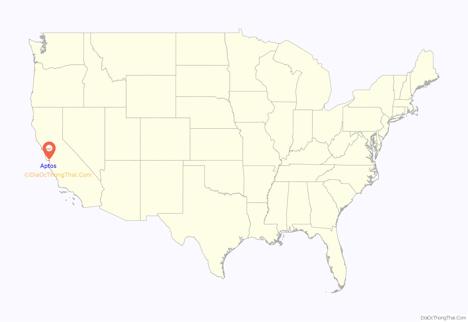
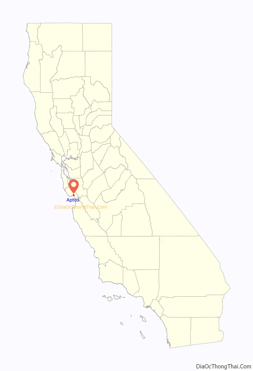
Aptos location map. Where is Aptos CDP?
History
Aptos was traditionally inhabited by the Awaswas tribe of Ohlone people. The name is one of only three native words that have survived (in Hispanicized form) as place names in Santa Cruz County (the others are Soquel and Zayante).
The first European land exploration of Alta California, the Spanish Portolá expedition, passed through the area on its way north, camping at one of the creeks on October 16, 1769. The expedition diaries don’t provide enough information to be sure which creek it was, but the direction of travel was northwest, parallel to the coast. Franciscan missionary Juan Crespi, traveling with the expedition, noted in his diary that, “We stopped on the bank of a small stream, which has about four varas of deep running water. It has on its banks a good growth of cottonwoods and alders; on account of the depth at which it runs it may be that it cannot be utilized to water some plains through which it runs.” Crespi diary translator Herbert Bolton speculated that the location was Soquel Creek, but it could have been Aptos Creek.
In 1833 the government of Mexico granted Rafael Castro the 6,656-acre (26.94 km) Rancho Aptos. Initially Castro raised cattle for their hides, but after California became a state in 1850, Castro leased his land to Americans who built a wharf, general store, and lumber mill. The original town was located where Aptos Village Square is now. In 1853 a leather tannery was built, and the main building is a bed & breakfast inn.
In 1878 Augustia Castro, daughter of Rafael Castro, and her husband José Arano built the Victorian, Bayview Hotel in Aptos village. The hotel is a Santa Cruz County landmark. It is Santa Cruz county’s oldest operating hotel. It has been a State Historic Monument since 1974 and listed on the National Register of Historic Places since 1993. Since being originally built, the hotel was moved to its current location.
In the mid to late 1800s, a series of major epidemics hit the area. A particularly bad one occurred in the early winter of 1868. Cases of smallpox were reported among the poor of San Juan Bautista. Efforts were made to localize the rapidly spreading disease, such as, barricading the roads leading in and out of San Juan Bautista. These efforts failed however, and when cases appeared in Watsonville, Santa Cruz citizens attempted to again quarantine the disease by destroying the Aptos Bridge. These efforts again failed and only created a rift between the two cities. The death toll of the smallpox epidemic lead to the local press publishing of the latest remedies available for home use as well as methods to prevent the spread of smallpox and inoculations.
By 1872, Claus Spreckels, a sugar millionaire, began buying the land from Castro. He built a hotel near the beach and a summer mansion and ranch with a racetrack for his horses. A large area was fenced and stocked with deer for hunting, and became known as “the Deer Park,” home of today’s Deer Park Center. With the coming of the railroad, the town moved to the other side of Aptos Creek.
From 1880 to 1920 redwood timber harvesting became the major industry, and Aptos became a boom town. The Loma Prieta Lumber Company logged all of what is now The Forest of Nisene Marks State Park. The Valencia Mill logged everything to the east. Within 40 years the hills were bare, and apples became the next industry. The Hihn Apple Barn is a historic building from that era; in 2016-2017, the building had been relocated nearby to be used as a grocery store and make way for a shopping complex.
On March 16–20, 1905, the Leonard Ranch near La Selva was the site of experiments with a new tandem-wing glider designed and built by John J. Montgomery. Hoisted aloft by hot-air balloon to considerable heights, over a series of test flights pilot Daniel J. Maloney was able to demonstrate the control and flight of the Montgomery glider design. These flights, with starting altitudes over 3,000 feet above the ground, were the first high-altitude flights in the world. A marker was placed at this location in 2005 honoring the centennial of these accomplishments.
After Spreckels’ death, Seacliff Park and Rio Del Mar Country Club (today’s Seacliff State Beach) were developed in the late 1920s. Rio Del Mar Country Club included a clubhouse, a grand hotel on the bluffs, a beach club, a polo field, and a golf course. The estuary was filled in (now Rio Beach Flats) and the SS Palo Alto cement ship was moored and converted into an amusement pier with restaurants, swimming pool, and a dance pavilion. Both Rio Del Mar and Seacliff were popular during Prohibition as drinking and gambling were discreetly available. These amusements were interrupted by the Great Depression and World War II.
In the early 1960s Aptos began a period of rapid development, including Cabrillo College, Rancho Del Mar Shopping Center, the Seascape Resort development, and many residential developments.
Aptos Road Map

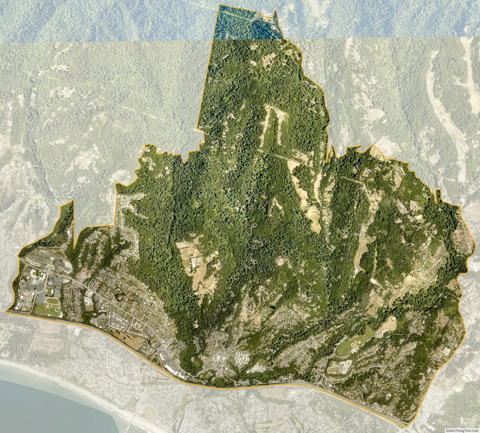
Aptos city Satellite Map
Geography
Aptos is located at 36°58′53″N 121°54′27″W / 36.98139°N 121.90750°W / 36.98139; -121.90750 (36.981500, -121.907432).
For statistical purposes, the United States Census Bureau has defined Aptos as a census-designated place (CDP). The census definition of the area is limited in contrast to the local understanding of the area with the same name. The population of the CDP was 6,220 at the 2010 census. The CDP has a total area of 6.4 square miles (17 km), all land. The southwestern geographical boundary is Monterey Bay, while the northeast boundary is the Santa Cruz Mountains.
Aptos is bisected northwest-to-southeast by the State Route 1 freeway and includes the ZIP codes 95001 and 95003.
See also
Map of California State and its subdivision:- Alameda
- Alpine
- Amador
- Butte
- Calaveras
- Colusa
- Contra Costa
- Del Norte
- El Dorado
- Fresno
- Glenn
- Humboldt
- Imperial
- Inyo
- Kern
- Kings
- Lake
- Lassen
- Los Angeles
- Madera
- Marin
- Mariposa
- Mendocino
- Merced
- Modoc
- Mono
- Monterey
- Napa
- Nevada
- Orange
- Placer
- Plumas
- Riverside
- Sacramento
- San Benito
- San Bernardino
- San Diego
- San Francisco
- San Joaquin
- San Luis Obispo
- San Mateo
- Santa Barbara
- Santa Clara
- Santa Cruz
- Shasta
- Sierra
- Siskiyou
- Solano
- Sonoma
- Stanislaus
- Sutter
- Tehama
- Trinity
- Tulare
- Tuolumne
- Ventura
- Yolo
- Yuba
- Alabama
- Alaska
- Arizona
- Arkansas
- California
- Colorado
- Connecticut
- Delaware
- District of Columbia
- Florida
- Georgia
- Hawaii
- Idaho
- Illinois
- Indiana
- Iowa
- Kansas
- Kentucky
- Louisiana
- Maine
- Maryland
- Massachusetts
- Michigan
- Minnesota
- Mississippi
- Missouri
- Montana
- Nebraska
- Nevada
- New Hampshire
- New Jersey
- New Mexico
- New York
- North Carolina
- North Dakota
- Ohio
- Oklahoma
- Oregon
- Pennsylvania
- Rhode Island
- South Carolina
- South Dakota
- Tennessee
- Texas
- Utah
- Vermont
- Virginia
- Washington
- West Virginia
- Wisconsin
- Wyoming


