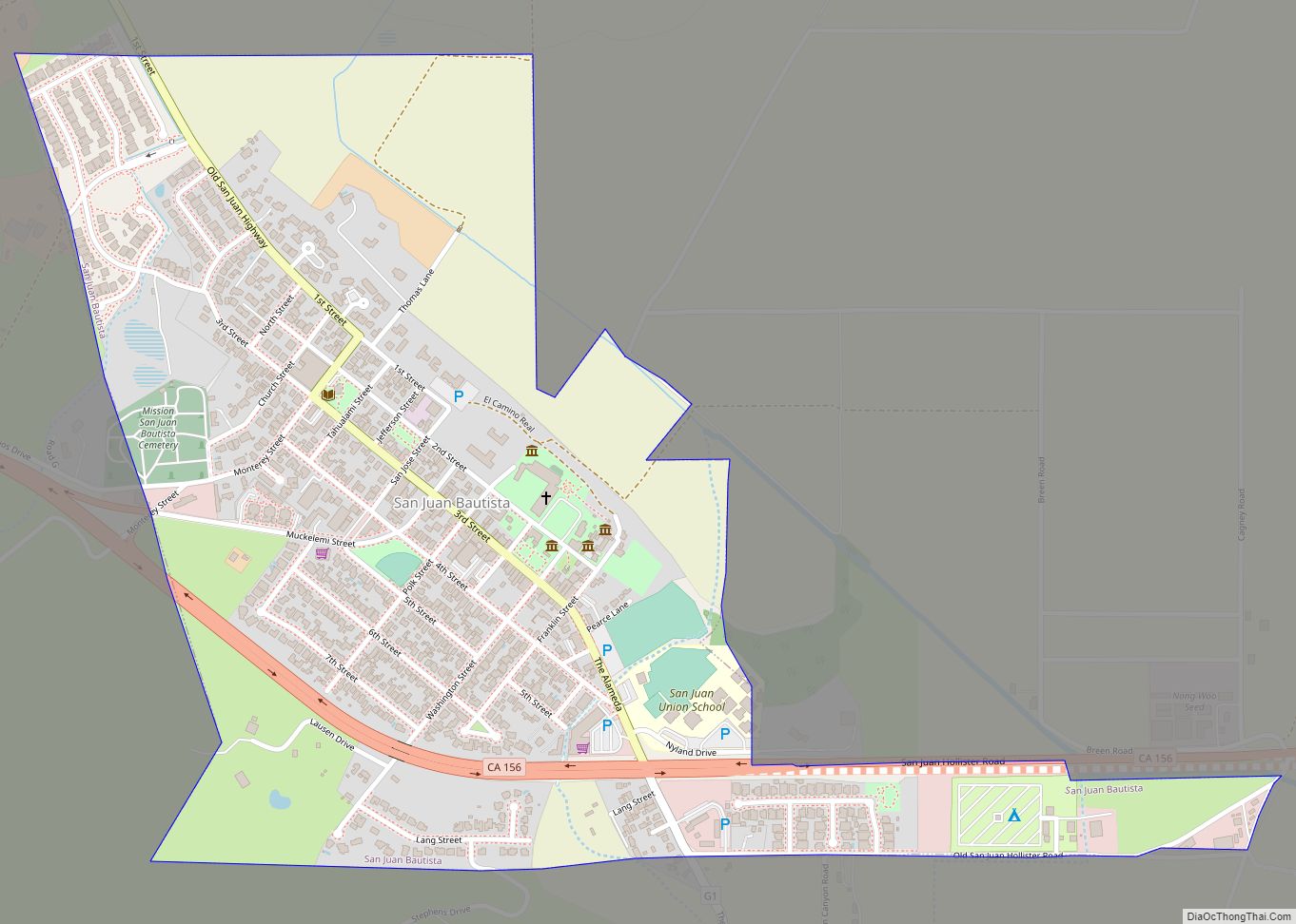
Map of San Luis Obispo city

Map of San Luis Obispo city

San Luis Obispo (Spanish for ‘St. Louis the Bishop’; /sæn ˌluːɪs əˈbɪspoʊ/; Spanish: [san ˈlwis oˈβispo]; Chumash: tiłhini) is a city and county seat of San Luis Obispo County, in the U.S. state of California. Located on the Central Coast of California, San Luis Obispo is roughly halfway between the San Francisco Bay Area in the … Read more

Map of San Lucas CDP

Map of San Lucas CDP

San Lucas (Spanish for “St. Luke”) is an unincorporated community and census-designated place (CDP) in Monterey County, California, United States. It was founded in 1886 and named after the Rancho San Lucas, which was granted in 1842. The post office was first established in 1892. San Lucas is located in the Salinas Valley, on the … Read more

Map of San Lorenzo CDP

Map of San Lorenzo CDP, California

San Lorenzo (Spanish for “St. Lawrence”) is a census-designated place (CDP) located in the East Bay of the San Francisco Bay Area in Alameda County, California, United States. The population was 29,581 at the 2020 census. It is an unincorporated community, located at the banks of San Lorenzo Creek. It was originally named Squattersville in … Read more

Map of San Marino city

Map of San Marino city

San Marino is a residential city in Los Angeles County, California, United States. It was incorporated on April 25, 1913. At the 2010 census the population was 13,147. The city is one of the wealthiest places in the nation in terms of household income. By extension, with a median home price of $2,699,098, San Marino … Read more

Map of San Marcos city

Map of San Marcos city, California

San Marcos (/ˌsæn ˈmɑːrkoʊs/ SAN MAR-kohs; Spanish for “St. Mark”) is a city in the North County region of San Diego County, California. As of the 2020 census, the city’s population was 94,833. It is the site of California State University San Marcos. The city is bordered by Escondido to the east, Encinitas to the … Read more

Map of San Martin CDP

Map of San Martin CDP

San Martin or San Martín (Spanish for Saint Martin) is a village and census-designated place (CDP) in Santa Clara County, California, in the southern Santa Clara Valley. Located to the south of Morgan Hill and north of Gilroy, San Martin is characterized by ranches, wineries, and orchards, as well as large estates in the foothills … Read more

Map of San Pablo city

Map of San Pablo city, California

San Pablo (Spanish for “Saint Paul”) is an enclave city in Contra Costa County, California, United States. The city of Richmond surrounds nearly the whole city. The population was 29,139 at the 2010 census. The current Mayor is Abel Pineda. Currently, the City Council consists of Abel Pineda, Patricia Ponce, Arturo Cruz, Elizabeth Pabon-Alvarado, and … Read more

Map of San Miguel CDP, California

Map of San Miguel CDP, California

San Miguel is a census-designated place in Contra Costa County, California. San Miguel sits at an elevation of 249 feet (76 m). The 2010 United States census reported San Miguel’s population was 3,392. San Miguel CDP overview: Name: San Miguel CDP LSAD Code: 57 LSAD Description: CDP (suffix) State: California County: Contra Costa County Elevation: 299 ft … Read more

Map of San Mateo city

Map of San Mateo city, California

San Mateo (Spanish for ‘Saint Matthew’); /ˌsæn məˈteɪ.oʊ/ (listen) SAN mə-TAY-oh) is a city in San Mateo County, California, United States, on the San Francisco Peninsula. About 20 miles (32 km) south of San Francisco, the city borders Burlingame to the north, Hillsborough to the west, San Francisco Bay and Foster City to the east and … Read more

Map of San Ramon city

Map of San Ramon city

San Ramon (Spanish: San Ramón, meaning “St. Raymond”) is a city in Contra Costa County, California, United States, located within the San Ramon Valley, and 34 miles (55 km) east of San Francisco. San Ramon’s population was 84,605 per the 2020 census, making it the 4th largest city in Contra Costa County, behind Richmond, Concord and … Read more

Map of San Rafael city

Map of San Rafael city, California

San Rafael (/ˌsæn rəˈfɛl/ SAN rə-FEL; Spanish for “St. Raphael”, Spanish pronunciation: [san rafaˈel]) is a city and the county seat of Marin County, California, United States. The city is located in the North Bay region of the San Francisco Bay Area. As of the 2020 U.S. census, the city’s population was 61,271, up from 57,713 … Read more

Map of San Pasqual CDP

Map of San Pasqual CDP

San Pasqual (pronunciation) is a census-designated place in Los Angeles County, California. It lies between San Marino and Pasadena. The major streets in San Pasqual are San Pasqual Street, South Sierra Madre Blvd., and Oakdale Street. San Pasqual is served by the Pasadena post office responsible for ZIP code 91107, and thus locations there are … Read more