San Juan Bautista (Spanish for “Saint John the Baptist”) is a city in San Benito County, in the U.S. state of California. The population was 2,089 as of the 2020 census. San Juan Bautista was founded in 1797 by the Spanish under Fermín de Lasuén, with the establishment of Mission San Juan Bautista. Following the Mexican secularization of 1833, the town was briefly known as San Juan de Castro and eventually incorporated in 1896. Today, San Juan is a popular tourist destination, as the home of the San Juan Bautista State Historic Park and other important historic sites, as well as cultural institutions like El Teatro Campesino.
The location was used for scenes in the Alfred Hitchcock film Vertigo, though the church tower was demolished and added by special effects.
| Name: | San Juan Bautista city |
|---|---|
| LSAD Code: | 25 |
| LSAD Description: | city (suffix) |
| State: | California |
| County: | San Benito County |
| Incorporated: | May 4, 1896 |
| Elevation: | 217 ft (66 m) |
| Total Area: | 0.79 sq mi (2.03 km²) |
| Land Area: | 0.79 sq mi (2.03 km²) |
| Water Area: | 0.00 sq mi (0.00 km²) 0.06% |
| Total Population: | 2,089 |
| Population Density: | 2,680.25/sq mi (1,035.29/km²) |
| ZIP code: | 95045 |
| Area code: | 831 |
| FIPS code: | 0668014 |
| Website: | www.san-juan-bautista.ca.us |
Online Interactive Map
Click on ![]() to view map in "full screen" mode.
to view map in "full screen" mode.
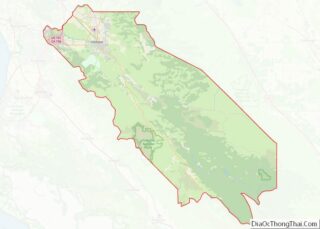
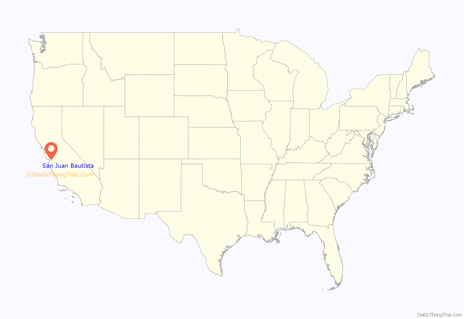
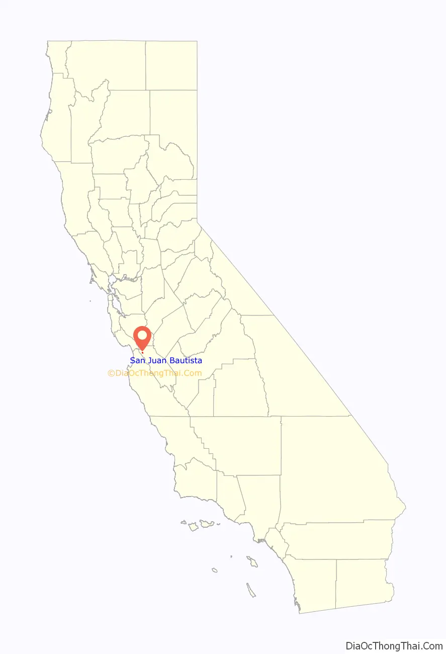
San Juan Bautista location map. Where is San Juan Bautista city?
History
Prior to the arrival of Europeans, the area around San Juan Bautista was populated by the Mutsun, a tribe of the Ohlone Nation of Indigenous Californians. The Mutsunes lived in villages in the area around San Juan Bautista, in settlements composed of thatched huts made of willow and native grasses.
Spanish period
In 1797, the Spanish Franciscan priest fray Fermín de Lasuén founded Mission San Juan Bautista to facilitate the conversion of the native people to Catholicism; in the process, he claimed the land for the Spanish Empire. Lasuén chose the site because of the area’s fertile cropland, steady water supply, and sizable Indian population.
Construction of the current mission church began in 1803, and has served the community continuously since 1812. The mission was located on the Camino Real, a “royal highway” which connected the California missions and which remained well-used until the 19th century.
Mexican period
In 1821, Mexico revolted against Spain, winning independence for itself, and making California a province of the newly independent Mexico. By 1834, a town known as San Juan de Castro has sprouted up around the mission. It drew its name from the town’s prominent alcalde José Tiburcio Castro. In 1834 the mission was secularized, and Castro appointed executor of the property. Accordingly, he divided and auctioned off the former mission properties. His son, José Castro, built the Castro Adobe on the south side of the Plaza de San Juan in 1840; however, Castro’s frequent involvement in government kept him from spending much time there. Castro was a key member of the overthrow of governors Nicolás Gutiérrez in 1836 and Manuel Micheltorena in 1844.
After defeating Micheltorena and his ill-equipped army, José Antonio Castro was appointed Comandante General of California, in charge of the Mexican Army’s operations in California. From San Juan Bautista, Castro ordered the army against potential foreign incursions. He kept especially close watch over the movements of John C. Frémont, an American military officer who had been let into California to conduct a survey of the interior. Though given explicit instructions to stay away from coastal settlements, Frémont soon broke the agreement by taking his team to Monterey, a potential military target. When Castro told Frémont he would have to leave the country, the situation came close to war when he obstinately refused to leave and instead set up a base on Gavilán Peak, overlooking the town of San Juan. However, fighting was avoided and Frémont, grudgingly, withdrew.
American period
San Juan Bautista incorporated as a city on May 4, 1896.
In June 1904, early aviation pioneer John J. Montgomery made a series of successful test flights using his tandem-wing glider in San Juan. This was a prototype to his 1905 gliders that were used to make the first successful high-altitude flights in heavier-than-air flying machines in the world.
Recently, using old photographs and eyewitness accounts, researchers were able to estimate the location of the hypocenter of the 1906 San Francisco earthquake as offshore from San Francisco, or near the city of San Juan Bautista, confirming previous estimates.
In 1930, the last native speaker of Mutsun, Ascención Solórzano de Cervantes, passed away, rendering the Mutsun language extinct.
In 1971, Luis Valdez moved El Teatro Campesino, one of the most important cultural institutions of the Chicano Movement, to San Juan. Initially, they only had use of La Calavera Theatre, but eventually also built out a larger theatre, simple known as El Teatro Campesino.
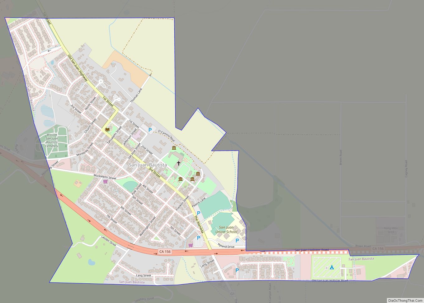
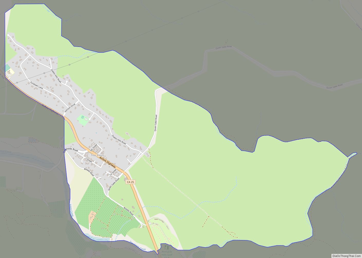
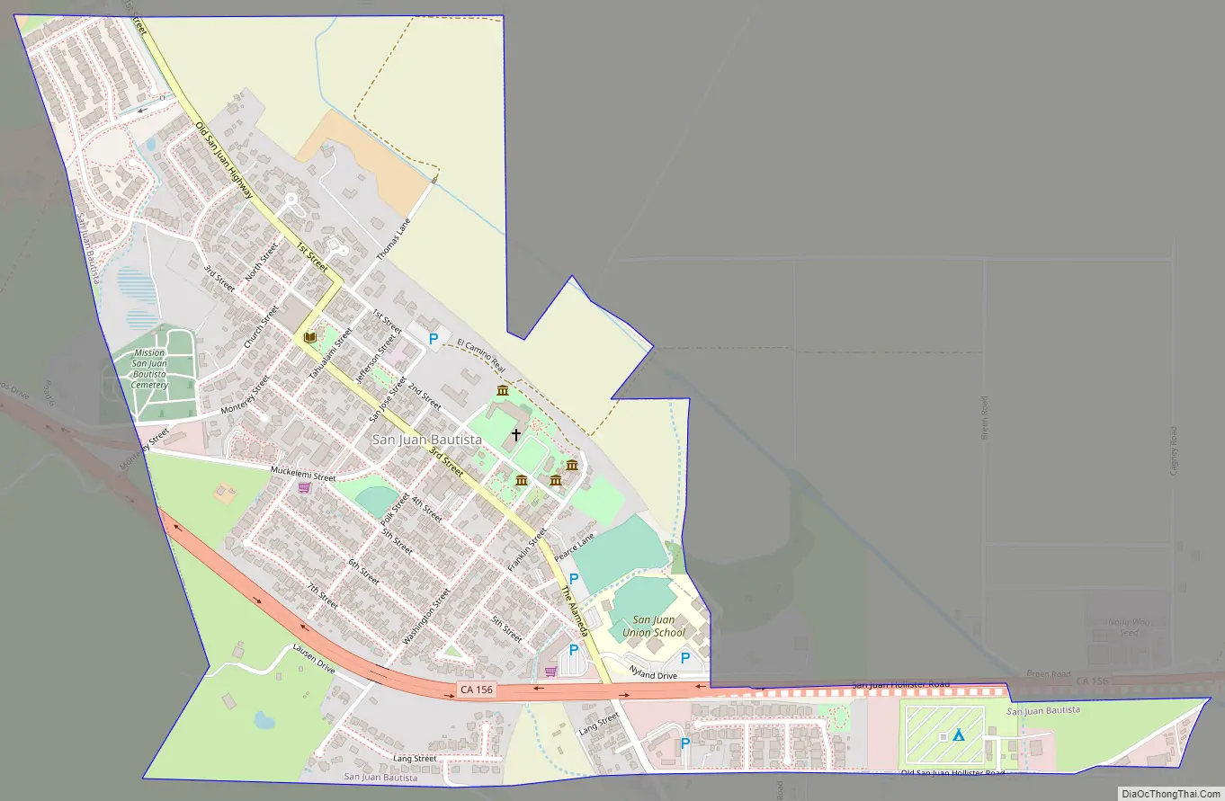
San Juan Bautista Road Map
San Juan Bautista city Satellite Map
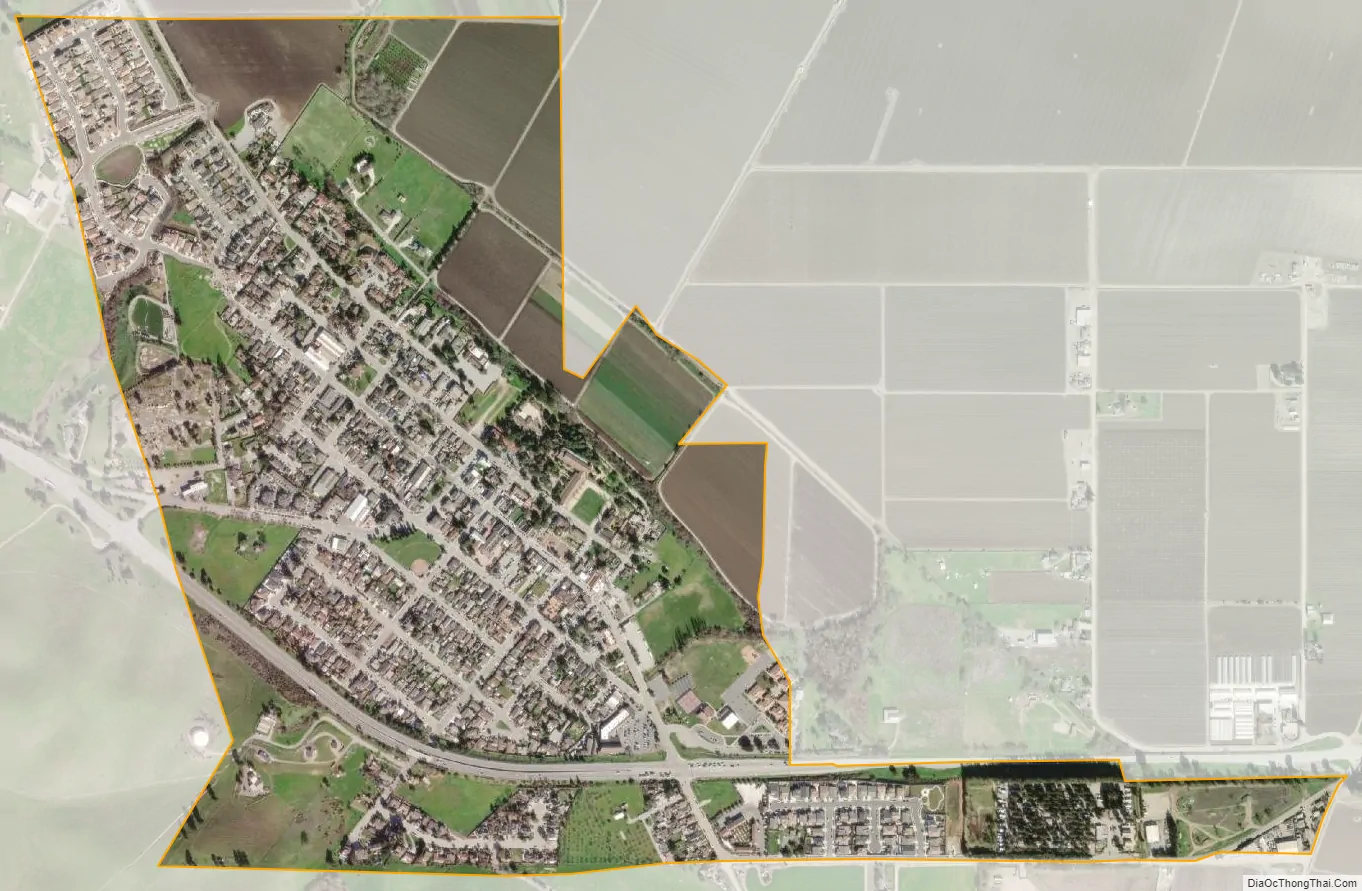
Geography
According to the United States Census Bureau, the city has a total area of 0.7 square miles (1.8 km), 99.94% of it land and 0.06% of it water.
The Gabilán Range is to the south of San Juan Bautista. The San Andreas Fault runs through San Juan Bautista. Fremont Peak, overlooking the town of San Juan, is open to the public as Fremont Peak State Park.
Climate
This region experiences warm (but not hot) and dry summers, with no average monthly temperatures above 71.6 °F. According to the Köppen Climate Classification system, San Juan Bautista has a warm-summer Mediterranean climate, abbreviated “Csb” on climate maps.
See also
Map of California State and its subdivision:- Alameda
- Alpine
- Amador
- Butte
- Calaveras
- Colusa
- Contra Costa
- Del Norte
- El Dorado
- Fresno
- Glenn
- Humboldt
- Imperial
- Inyo
- Kern
- Kings
- Lake
- Lassen
- Los Angeles
- Madera
- Marin
- Mariposa
- Mendocino
- Merced
- Modoc
- Mono
- Monterey
- Napa
- Nevada
- Orange
- Placer
- Plumas
- Riverside
- Sacramento
- San Benito
- San Bernardino
- San Diego
- San Francisco
- San Joaquin
- San Luis Obispo
- San Mateo
- Santa Barbara
- Santa Clara
- Santa Cruz
- Shasta
- Sierra
- Siskiyou
- Solano
- Sonoma
- Stanislaus
- Sutter
- Tehama
- Trinity
- Tulare
- Tuolumne
- Ventura
- Yolo
- Yuba
- Alabama
- Alaska
- Arizona
- Arkansas
- California
- Colorado
- Connecticut
- Delaware
- District of Columbia
- Florida
- Georgia
- Hawaii
- Idaho
- Illinois
- Indiana
- Iowa
- Kansas
- Kentucky
- Louisiana
- Maine
- Maryland
- Massachusetts
- Michigan
- Minnesota
- Mississippi
- Missouri
- Montana
- Nebraska
- Nevada
- New Hampshire
- New Jersey
- New Mexico
- New York
- North Carolina
- North Dakota
- Ohio
- Oklahoma
- Oregon
- Pennsylvania
- Rhode Island
- South Carolina
- South Dakota
- Tennessee
- Texas
- Utah
- Vermont
- Virginia
- Washington
- West Virginia
- Wisconsin
- Wyoming