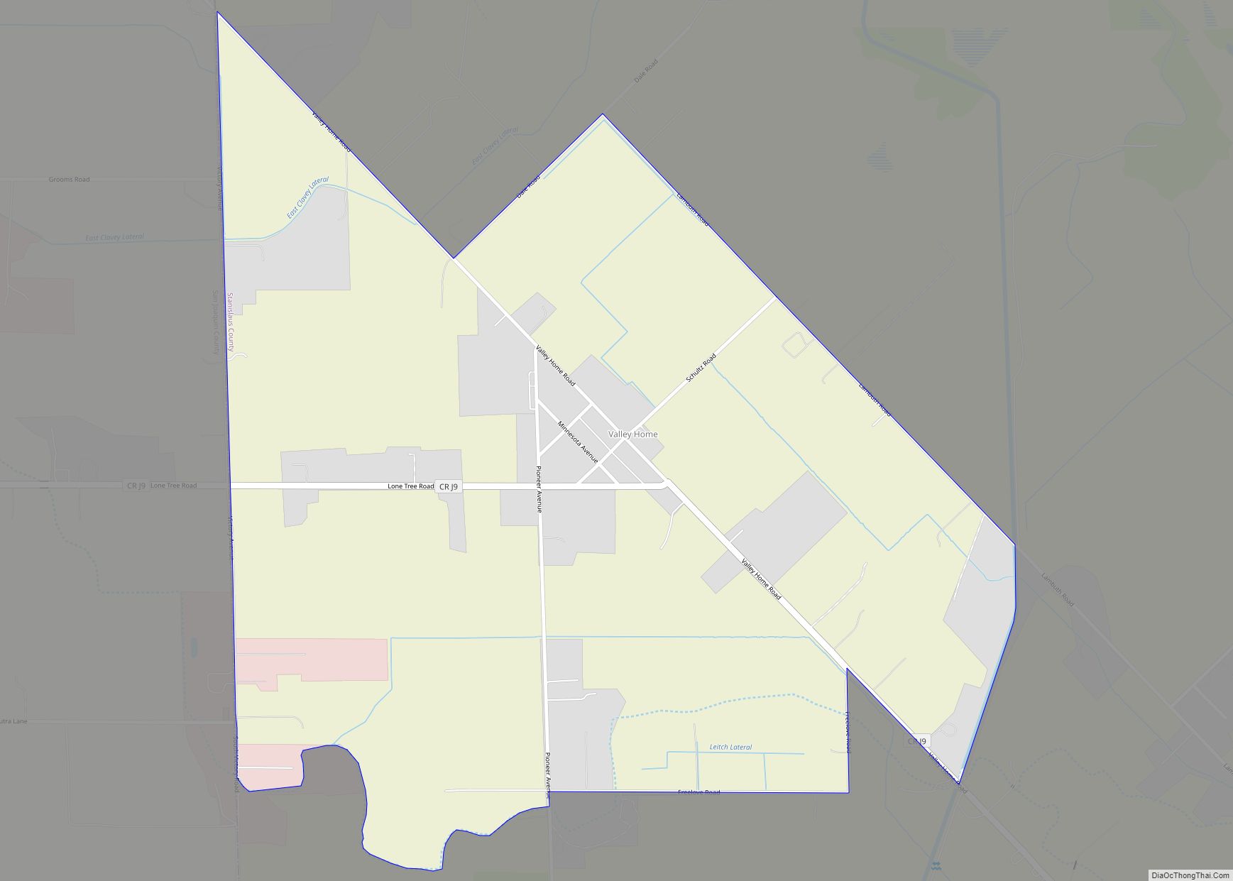
Map of Vandenberg Village CDP

Map of Vandenberg Village CDP

Vandenberg Village is a census-designated place (CDP) in the unincorporated area of Santa Barbara County, California, United States. The population was 6,497 at the 2010 census, up from 5,802 at the 2000 census. It is a community situated in the hills north of Lompoc, California. While shops and markets can be found in Vandenberg Village, … Read more

Map of Vandenberg AFB CDP

Map of Vandenberg AFB CDP

Vandenberg AFB CDP overview: Name: Vandenberg AFB CDP LSAD Code: 57 LSAD Description: CDP (suffix) State: California County: Santa Barbara County FIPS code: 0682072 Online Interactive Map Vandenberg AFB online map. Source: Basemap layers from Google Map, Open Street Map (OSM), Arcgisonline, Wmflabs. Boundary Data from Database of Global Administrative Areas. Vandenberg AFB location map. … Read more

Map of Valley Wells CDP

Map of Valley Wells CDP

Valley Wells is a census-designated place in Inyo County, California. It lies at an elevation of 1,749 ft (533 m). Prior to 2010, for census purposes it was part of Homewood Canyon-Valley Wells CDP. The 2010 census reported that population was zero. The town is now registered as California Historical Landmark #443; in 1849, several groups of … Read more

Map of Victor CDP

Map of Victor CDP, California

Victor is a census-designated place and community in San Joaquin County, California, United States. The population was 215 at the 2020 census, which is lower than 293 at the 2010 census. The ZIP Code is 95253, and the settlement is inside area code 209. Victor CDP overview: Name: Victor CDP LSAD Code: 57 LSAD Description: … Read more

Map of Vernon city, California

Map of Vernon city, California

Vernon is a city five miles (8.0 km) south of downtown Los Angeles, California, the nearest separate city to downtown Los Angeles. The population was 112 at the 2010 United States Census, the least of any incorporated city in the state. Its population nearly doubled to 222 by the 2020 census, making it the second least … Read more

Map of Verdi CDP

Map of Verdi CDP, California

Verdi is a census-designated place (CDP) in Sierra County, California. Verdi sits at an elevation of 5,315 feet (1,620 m). The 2010 United States census reported Verdi’s population was 162. It is just across the state line from Verdi, Nevada and below the Verdi Range. The town of Verdi was named after Giuseppe Verdi by Charles … Read more

Map of Vina CDP, California

Map of Vina CDP, California

Vina (Spanish: Viña, meaning “Vine”) is a census-designated place (CDP) in Tehama County, California. Vina sits at an elevation of 210 feet (64 m). The 2010 United States census reported Vina’s population was 237. Vina is the location of the Roman Catholic Trappist Abbey of New Clairvaux. Vina CDP overview: Name: Vina CDP LSAD Code: 57 … Read more

Map of Villa Park city

Map of Villa Park city, California

Villa Park is a city in northern Orange County, California, United States. It was founded in 1962. At the 2010 census, the city had a population of 5,812, the lowest population for a city in Orange County. The city is largely zoned for single-family residences on lots that average about 20,000 square feet (1,900 m), or … Read more

Map of View Park-Windsor Hills CDP

Map of View Park-Windsor Hills CDP

View Park−Windsor Hills is an unincorporated community in Los Angeles County, California. The View Park neighborhood is the community surrounding Angeles Vista Boulevard and the Windsor Hills neighborhood is on the southern end to the north of Slauson Avenue. View Park−Windsor Hills is one of the wealthiest primarily African-American neighborhoods in the United States. The … Read more

Map of Vineyard CDP

Map of Vineyard CDP, California

Vineyard is a census-designated place (CDP) in Sacramento County, California, United States. It is part of the Sacramento–Arden-Arcade–Roseville Metropolitan Statistical Area. The population was 24,836 at the 2010 census, up from 10,109 at the 2000 census. Along with more than doubling its population in just one decade, Vineyard also grew to become one of Greater … Read more

Map of Vine Hill CDP

Map of Vine Hill CDP

Vine Hill is a census-designated place (CDP) in Contra Costa County, California, United States. The population was 3,761 at the 2010 census. It is located 2.25 miles (3.6 km) east of downtown Martinez. Vine Hill CDP overview: Name: Vine Hill CDP LSAD Code: 57 LSAD Description: CDP (suffix) State: California County: Contra Costa County Elevation: 30 ft … Read more

Map of Vincent CDP, California

Map of Vincent CDP, California

Vincent (sometimes referred to as East Irwindale) is a census-designated place (CDP) in the central San Gabriel Valley, in Los Angeles County, California, United States. The city name and zipcode for addresses south of Arrow Highway is Covina and 91722, respectively, and Azusa and 91702 for addresses north of Arrow Highway. The population was 15,922 … Read more