Vina (Spanish: Viña, meaning “Vine”) is a census-designated place (CDP) in Tehama County, California. Vina sits at an elevation of 210 feet (64 m). The 2010 United States census reported Vina’s population was 237.
Vina is the location of the Roman Catholic Trappist Abbey of New Clairvaux.
| Name: | Vina CDP |
|---|---|
| LSAD Code: | 57 |
| LSAD Description: | CDP (suffix) |
| State: | California |
| County: | Tehama County |
| Elevation: | 210 ft (60 m) |
| Total Area: | 1.352 sq mi (3.501 km²) |
| Land Area: | 1.352 sq mi (3.501 km²) |
| Water Area: | 0 sq mi (0 km²) 0% |
| Total Population: | 198 |
| Population Density: | 150/sq mi (57/km²) |
| ZIP code: | 96092 |
| Area code: | 530 |
| FIPS code: | 0682786 |
| GNISfeature ID: | 2628796 |
Online Interactive Map
Click on ![]() to view map in "full screen" mode.
to view map in "full screen" mode.
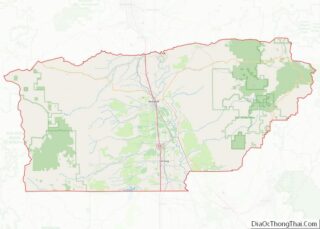
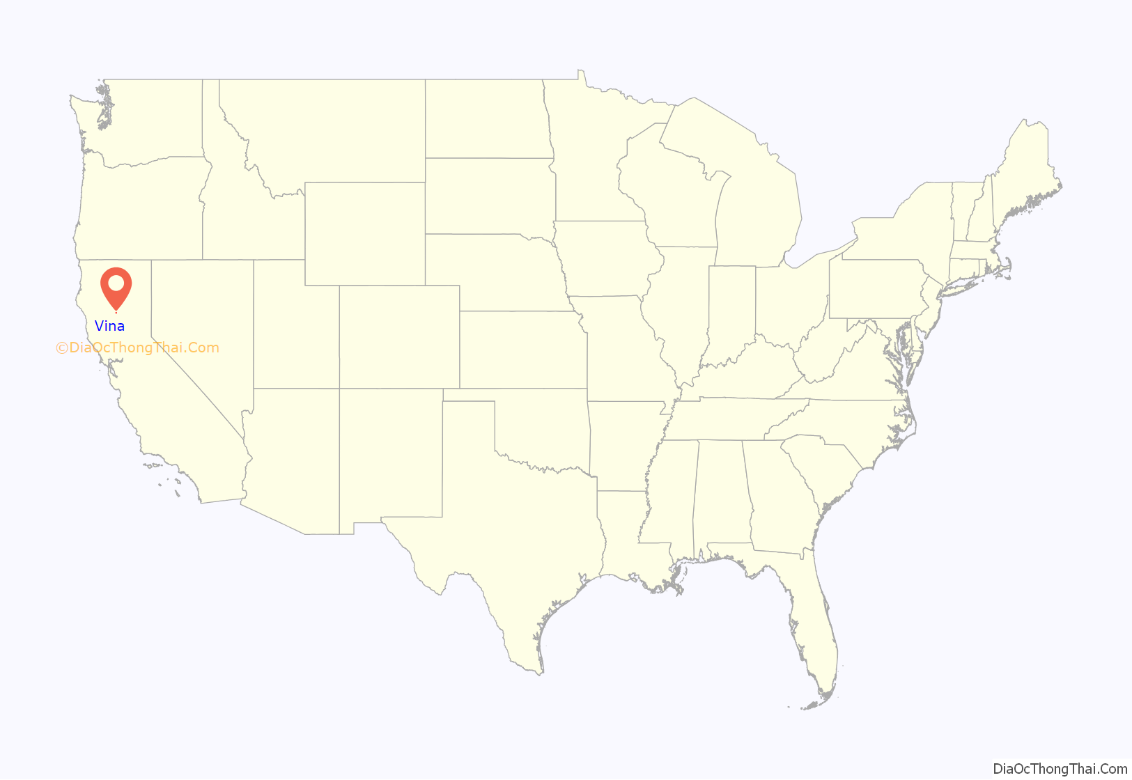
Vina location map. Where is Vina CDP?

History
Hiram Good, “Indian hunter” homesteaded in Lower Deer Creek, later Vina, filing Proof of Claim in the Marysville office on February 4, 1857.
Lower Deer Creek became Vina in the 1860s when a winery was founded, and derives its name from the Spanish-language word meaning “vineyard”. A post office has been in operation at Vina since 1871.
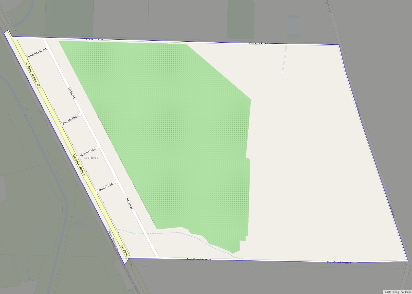
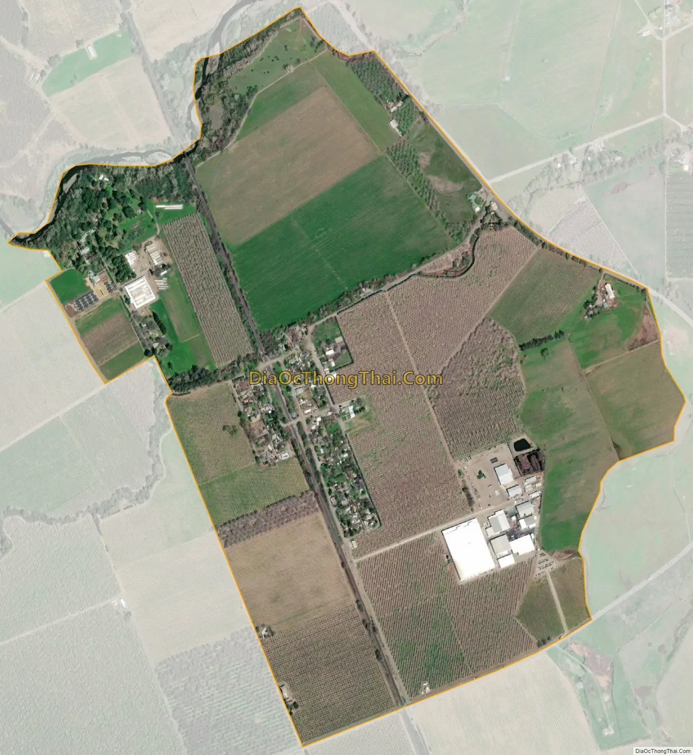
Vina Road Map

Vina city Satellite Map
Geography
According to the United States Census Bureau, the CDP covers an area of 1.4 square miles (3.5 km), all of it land.
See also
Map of California State and its subdivision:- Alameda
- Alpine
- Amador
- Butte
- Calaveras
- Colusa
- Contra Costa
- Del Norte
- El Dorado
- Fresno
- Glenn
- Humboldt
- Imperial
- Inyo
- Kern
- Kings
- Lake
- Lassen
- Los Angeles
- Madera
- Marin
- Mariposa
- Mendocino
- Merced
- Modoc
- Mono
- Monterey
- Napa
- Nevada
- Orange
- Placer
- Plumas
- Riverside
- Sacramento
- San Benito
- San Bernardino
- San Diego
- San Francisco
- San Joaquin
- San Luis Obispo
- San Mateo
- Santa Barbara
- Santa Clara
- Santa Cruz
- Shasta
- Sierra
- Siskiyou
- Solano
- Sonoma
- Stanislaus
- Sutter
- Tehama
- Trinity
- Tulare
- Tuolumne
- Ventura
- Yolo
- Yuba
- Alabama
- Alaska
- Arizona
- Arkansas
- California
- Colorado
- Connecticut
- Delaware
- District of Columbia
- Florida
- Georgia
- Hawaii
- Idaho
- Illinois
- Indiana
- Iowa
- Kansas
- Kentucky
- Louisiana
- Maine
- Maryland
- Massachusetts
- Michigan
- Minnesota
- Mississippi
- Missouri
- Montana
- Nebraska
- Nevada
- New Hampshire
- New Jersey
- New Mexico
- New York
- North Carolina
- North Dakota
- Ohio
- Oklahoma
- Oregon
- Pennsylvania
- Rhode Island
- South Carolina
- South Dakota
- Tennessee
- Texas
- Utah
- Vermont
- Virginia
- Washington
- West Virginia
- Wisconsin
- Wyoming