View Park−Windsor Hills is an unincorporated community in Los Angeles County, California. The View Park neighborhood is the community surrounding Angeles Vista Boulevard and the Windsor Hills neighborhood is on the southern end to the north of Slauson Avenue.
View Park−Windsor Hills is one of the wealthiest primarily African-American neighborhoods in the United States. The two neighborhoods are part of a band of neighborhoods, from Culver City‘s Fox Hills district on the west to the Los Angeles neighborhood of Leimert Park on the east, that comprise the one of the wealthiest geographically contiguous historically black communities in the western United States. This corridor also includes the neighborhood of Baldwin Hills and the unincorporated community of Ladera Heights. It was developed between 1923 and 1970. While the neighborhood is still predominantly African-American, the area is undergoing a demographic shift as new homeowners (mostly Caucasian, Asian families), who work in nearby Culver City, Downtown Los Angeles, Santa Monica and other job hub areas are moving into the neighborhood.
Per the 2020 census, the population of View Park-Windsor Hills was 11,419.
| Name: | View Park-Windsor Hills CDP |
|---|---|
| LSAD Code: | 57 |
| LSAD Description: | CDP (suffix) |
| State: | California |
| County: | Los Angeles County |
| Total Area: | 1.842 sq mi (4.771 km²) |
| Land Area: | 1.841 sq mi (4.769 km²) |
| Water Area: | 0.001 sq mi (0.002 km²) 0.04% |
| Total Population: | 11,419 |
| Population Density: | 6,200/sq mi (2,400/km²) |
| ZIP code: | 90043 |
| Area code: | 323 |
| FIPS code: | 0682667 |
Online Interactive Map
Click on ![]() to view map in "full screen" mode.
to view map in "full screen" mode.
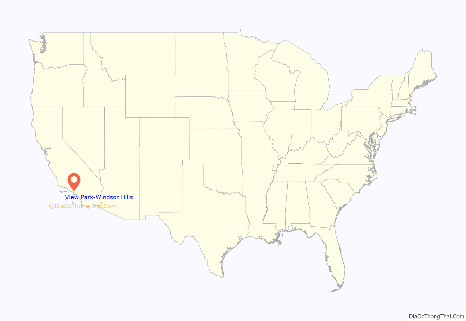
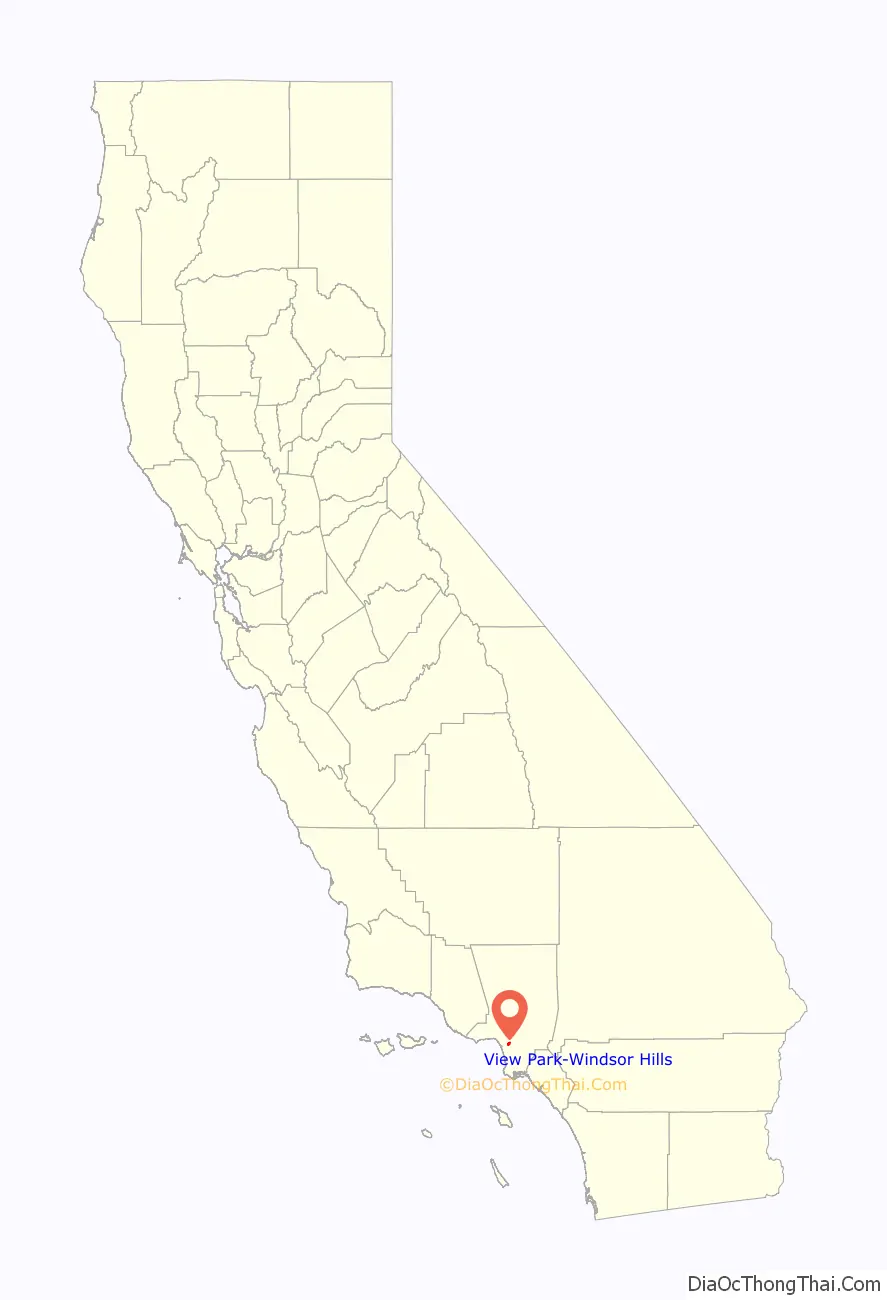
View Park-Windsor Hills location map. Where is View Park-Windsor Hills CDP?
History
View Park
View Park was developed between 1923 and 1970 an upper-class neighborhood akin to the style of Cheviot Hills, Bel-Air, Brentwood and Hancock Park by the Los Angeles Investment Company. Along with neighboring Ladera Heights and Baldwin Hills, it is one of the wealthiest African-American areas in the United States. It contains a collection of houses and mansions in the Spanish Colonial Revival Style, Spanish Colonial, Mid Century and Mediterranean Revival Style architecture, most of which remain today. View Park architecture features the work of many notable architects, such as the Los Angeles Investment Company, Postle & Postle, R. F. Ruck, Paul Haynes, Leopold Fischer, H. Roy Kelley, Raphael Soriano, Charles W. Wong, Robert Earl, M.C. Drebbin, Vincent Palmer, Theodore Pletsch and Homer C. Valentine. It is also rumored that renowned African American architect Paul Williams had built several homes in View Park.
Windsor Hills
Windsor Hills was developed in the late 1930s by Marlow-Burns Development Company. It was the first subdivision in Southern California for which the newly created Federal Housing Administration provided mortgage insurance. It also contains a collection of houses and mansions in the Spanish Colonial Revival Style, minimal traditional and Mediterranean Revival Style architecture. African-Americans were forbidden to live in either area until the Supreme Court’s invalidation of racial restrictive covenants in 1948.
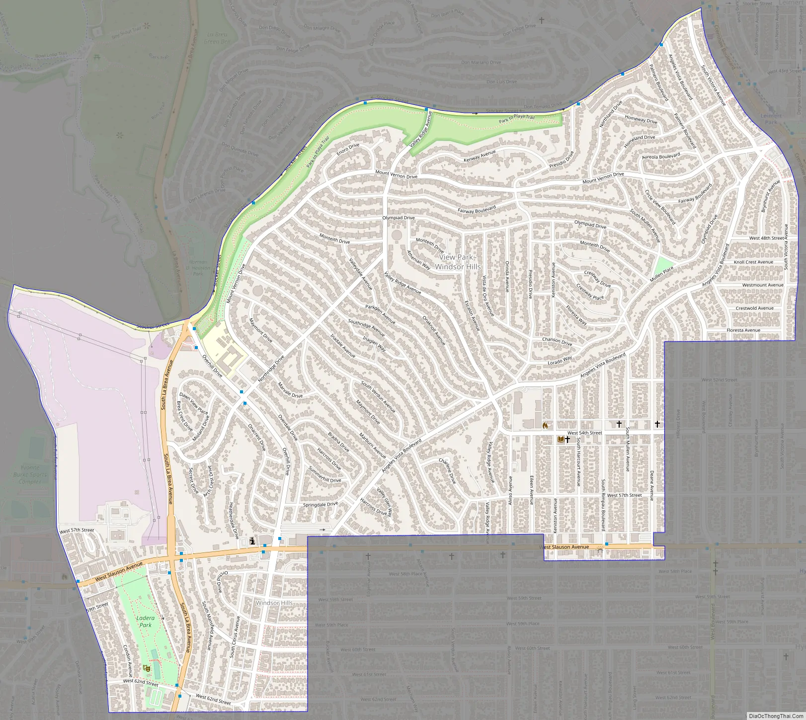
View Park-Windsor Hills Road Map
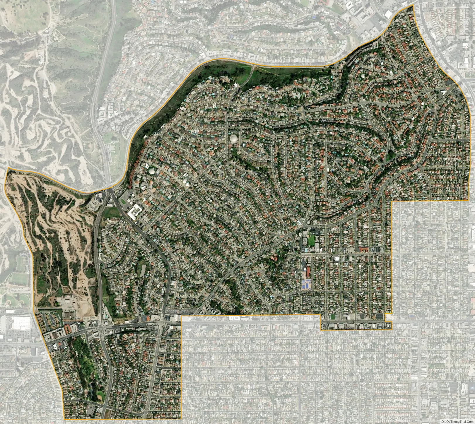
View Park-Windsor Hills city Satellite Map
Geography
View Park−Windsor Hills is located at 33°59′37″N 118°20′49″W / 33.99361°N 118.34694°W / 33.99361; -118.34694 (33.993662, -118.346950).
Climate
According to the United States Census Bureau, the CDP has a total area of 1.8 square miles (4.7 km), all land. The region has a warm-summer Mediterranean climate.
See also
Map of California State and its subdivision:- Alameda
- Alpine
- Amador
- Butte
- Calaveras
- Colusa
- Contra Costa
- Del Norte
- El Dorado
- Fresno
- Glenn
- Humboldt
- Imperial
- Inyo
- Kern
- Kings
- Lake
- Lassen
- Los Angeles
- Madera
- Marin
- Mariposa
- Mendocino
- Merced
- Modoc
- Mono
- Monterey
- Napa
- Nevada
- Orange
- Placer
- Plumas
- Riverside
- Sacramento
- San Benito
- San Bernardino
- San Diego
- San Francisco
- San Joaquin
- San Luis Obispo
- San Mateo
- Santa Barbara
- Santa Clara
- Santa Cruz
- Shasta
- Sierra
- Siskiyou
- Solano
- Sonoma
- Stanislaus
- Sutter
- Tehama
- Trinity
- Tulare
- Tuolumne
- Ventura
- Yolo
- Yuba
- Alabama
- Alaska
- Arizona
- Arkansas
- California
- Colorado
- Connecticut
- Delaware
- District of Columbia
- Florida
- Georgia
- Hawaii
- Idaho
- Illinois
- Indiana
- Iowa
- Kansas
- Kentucky
- Louisiana
- Maine
- Maryland
- Massachusetts
- Michigan
- Minnesota
- Mississippi
- Missouri
- Montana
- Nebraska
- Nevada
- New Hampshire
- New Jersey
- New Mexico
- New York
- North Carolina
- North Dakota
- Ohio
- Oklahoma
- Oregon
- Pennsylvania
- Rhode Island
- South Carolina
- South Dakota
- Tennessee
- Texas
- Utah
- Vermont
- Virginia
- Washington
- West Virginia
- Wisconsin
- Wyoming


