Vandenberg Village is a census-designated place (CDP) in the unincorporated area of Santa Barbara County, California, United States. The population was 6,497 at the 2010 census, up from 5,802 at the 2000 census.
It is a community situated in the hills north of Lompoc, California. While shops and markets can be found in Vandenberg Village, many residents commute to nearby Lompoc on a daily basis.
It is close to Vandenberg Space Force Base.
| Name: | Vandenberg Village CDP |
|---|---|
| LSAD Code: | 57 |
| LSAD Description: | CDP (suffix) |
| State: | California |
| County: | Santa Barbara County |
| Elevation: | 374 ft (114 m) |
| Total Area: | 5.248 sq mi (13.590 km²) |
| Land Area: | 5.247 sq mi (13.588 km²) |
| Water Area: | 0.001 sq mi (0.001 km²) 0.01% |
| Total Population: | 6,497 |
| Population Density: | 1,200/sq mi (480/km²) |
| ZIP code: | 93436 |
| Area code: | 805 |
| FIPS code: | 0682086 |
| GNISfeature ID: | 1867066 |
Online Interactive Map
Click on ![]() to view map in "full screen" mode.
to view map in "full screen" mode.
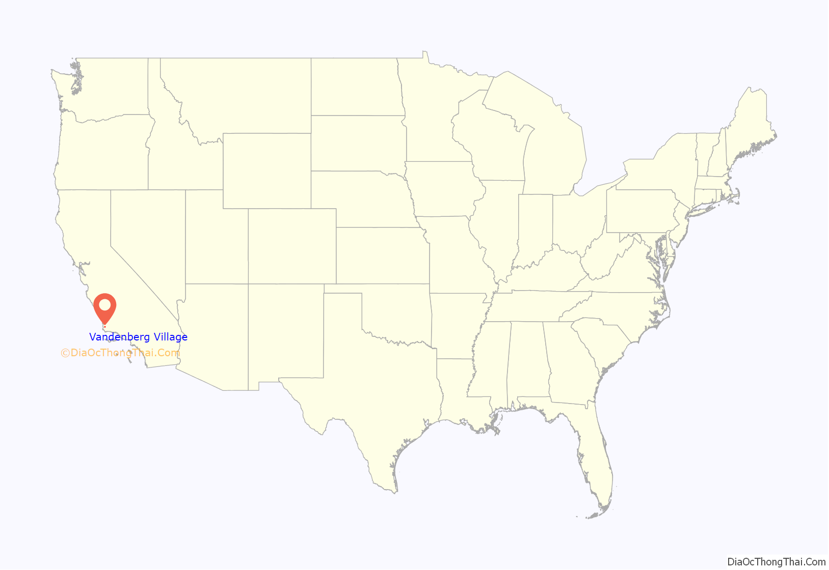
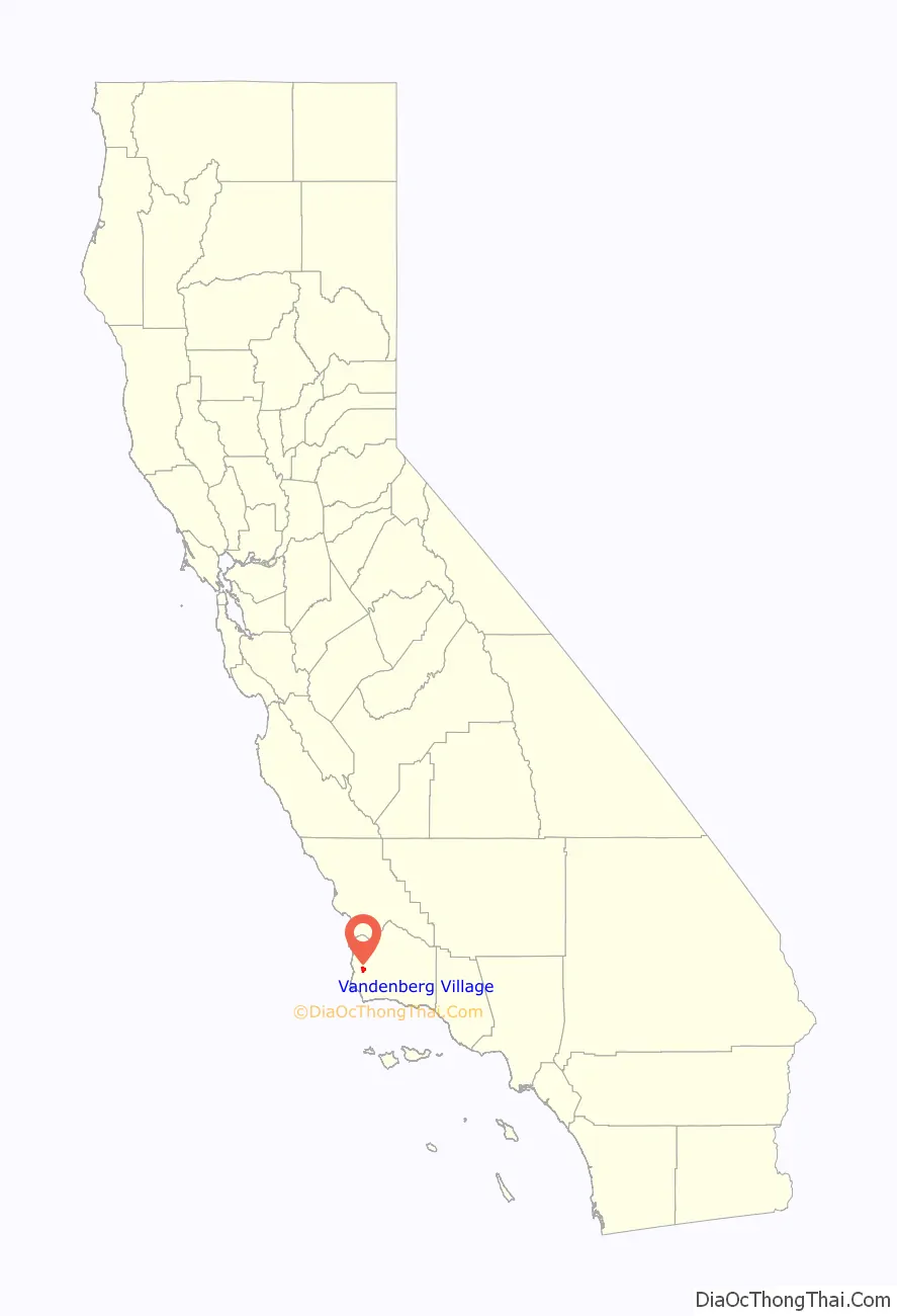
Vandenberg Village location map. Where is Vandenberg Village CDP?
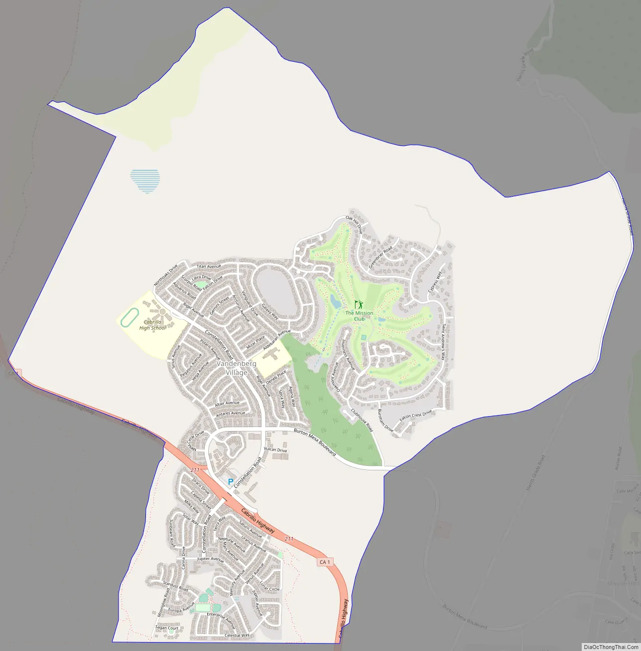
Vandenberg Village Road Map
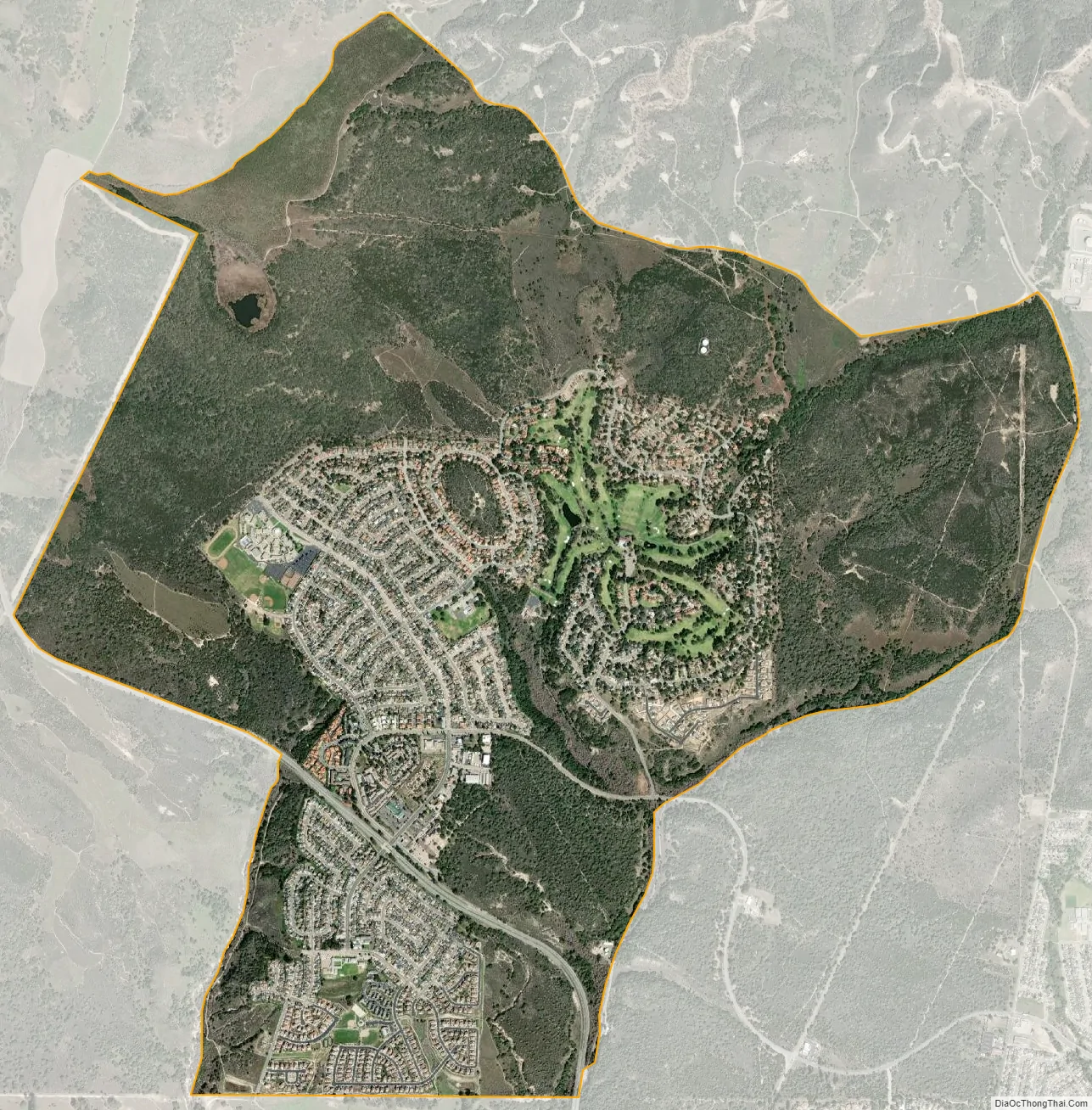
Vandenberg Village city Satellite Map
Geography
According to the United States Census Bureau, the CDP has a total area of 5.2 square miles (13 km), 99.99% of it land and 0.01% of it water
Vandenberg Village is the location of Cabrillo High School (one of two general high schools located within Lompoc Unified School District boundaries), Buena Vista Elementary School, and Maple High (Continuation) School.
Surrounding the village is the Burton Mesa Ecological Reserve, and north of that the Lompoc Oil Field follows the line of the Purisima Hills.
See also
Map of California State and its subdivision:- Alameda
- Alpine
- Amador
- Butte
- Calaveras
- Colusa
- Contra Costa
- Del Norte
- El Dorado
- Fresno
- Glenn
- Humboldt
- Imperial
- Inyo
- Kern
- Kings
- Lake
- Lassen
- Los Angeles
- Madera
- Marin
- Mariposa
- Mendocino
- Merced
- Modoc
- Mono
- Monterey
- Napa
- Nevada
- Orange
- Placer
- Plumas
- Riverside
- Sacramento
- San Benito
- San Bernardino
- San Diego
- San Francisco
- San Joaquin
- San Luis Obispo
- San Mateo
- Santa Barbara
- Santa Clara
- Santa Cruz
- Shasta
- Sierra
- Siskiyou
- Solano
- Sonoma
- Stanislaus
- Sutter
- Tehama
- Trinity
- Tulare
- Tuolumne
- Ventura
- Yolo
- Yuba
- Alabama
- Alaska
- Arizona
- Arkansas
- California
- Colorado
- Connecticut
- Delaware
- District of Columbia
- Florida
- Georgia
- Hawaii
- Idaho
- Illinois
- Indiana
- Iowa
- Kansas
- Kentucky
- Louisiana
- Maine
- Maryland
- Massachusetts
- Michigan
- Minnesota
- Mississippi
- Missouri
- Montana
- Nebraska
- Nevada
- New Hampshire
- New Jersey
- New Mexico
- New York
- North Carolina
- North Dakota
- Ohio
- Oklahoma
- Oregon
- Pennsylvania
- Rhode Island
- South Carolina
- South Dakota
- Tennessee
- Texas
- Utah
- Vermont
- Virginia
- Washington
- West Virginia
- Wisconsin
- Wyoming


