Villa Park is a city in northern Orange County, California, United States. It was founded in 1962. At the 2010 census, the city had a population of 5,812, the lowest population for a city in Orange County.
The city is largely zoned for single-family residences on lots that average about 20,000 square feet (1,900 m), or 1⁄2 acre, in size. Within the city limits there is one small shopping center. City Hall, including a community room, and a branch of the Orange County Public Libraries system is adjacent to the city’s only shopping center.
| Name: | Villa Park city |
|---|---|
| LSAD Code: | 25 |
| LSAD Description: | city (suffix) |
| State: | California |
| County: | Orange County |
| Incorporated: | January 11, 1962 |
| Elevation: | 341 ft (104 m) |
| Total Area: | 2.08 sq mi (5.38 km²) |
| Land Area: | 2.08 sq mi (5.38 km²) |
| Water Area: | 0.00 sq mi (0.00 km²) 0% |
| Total Population: | 5,812 |
| Population Density: | 2,787.67/sq mi (1,076.13/km²) |
| ZIP code: | 92861 |
| FIPS code: | 0682744 |
| Website: | www.villapark.org |
Online Interactive Map
Click on ![]() to view map in "full screen" mode.
to view map in "full screen" mode.
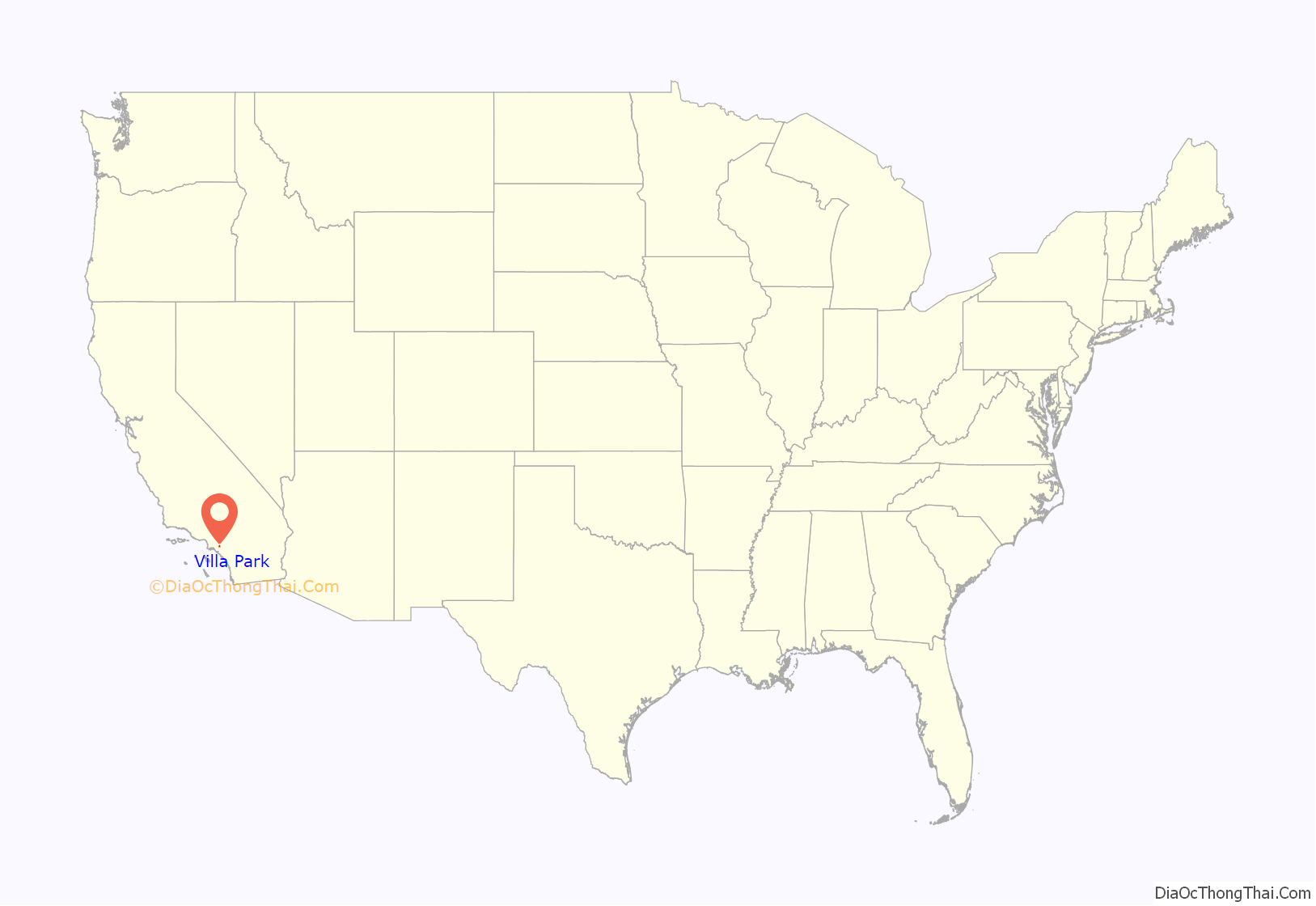
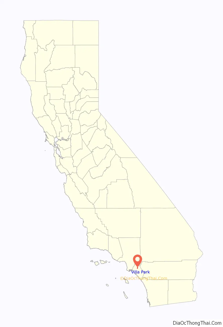
Villa Park location map. Where is Villa Park city?
History
After the 1769 expedition of Gaspar de Portolá, a Spanish expedition led by Father Junípero Serra named the area Vallejo de Santa Ana (Valley of Saint Anne). On November 1, 1776, Mission San Juan Capistrano became the areas first permanent European settlement in Alta California, New Spain. In 1810, the Spanish Empire granted 62,500 acres (253 km) to Jose Antonio Yorba, which he named Rancho Santiago de Santa Ana. Yorba’s rancho included the lands where the cities of Olive, Orange, Villa Park, Santa Ana, Tustin, Costa Mesa and Newport Beach stand today.
After the Mexican-American war in 1848, Alta California became part of the United States in 1850 and American settlers arrived in this area.
Villa Park was known as “Mountain View” in the 1860s. The U.S. Post Office refused to allow the local post office to be so named as there was already a post office with that name in Santa Clara County, so the post office and hence the area came to be called Villa Park after a town in Illinois. It was then an agricultural area producing, in turn, grapes, walnuts, and apricots. Finally, citrus became the major crop for about 60 years.
Ranchers established the Serrano Water District in 1876, which still provides Villa Park’s water, and founded the Villa Park Orchards Association (still a business in Orange, although the packing house that was a local landmark was torn down in 1983).
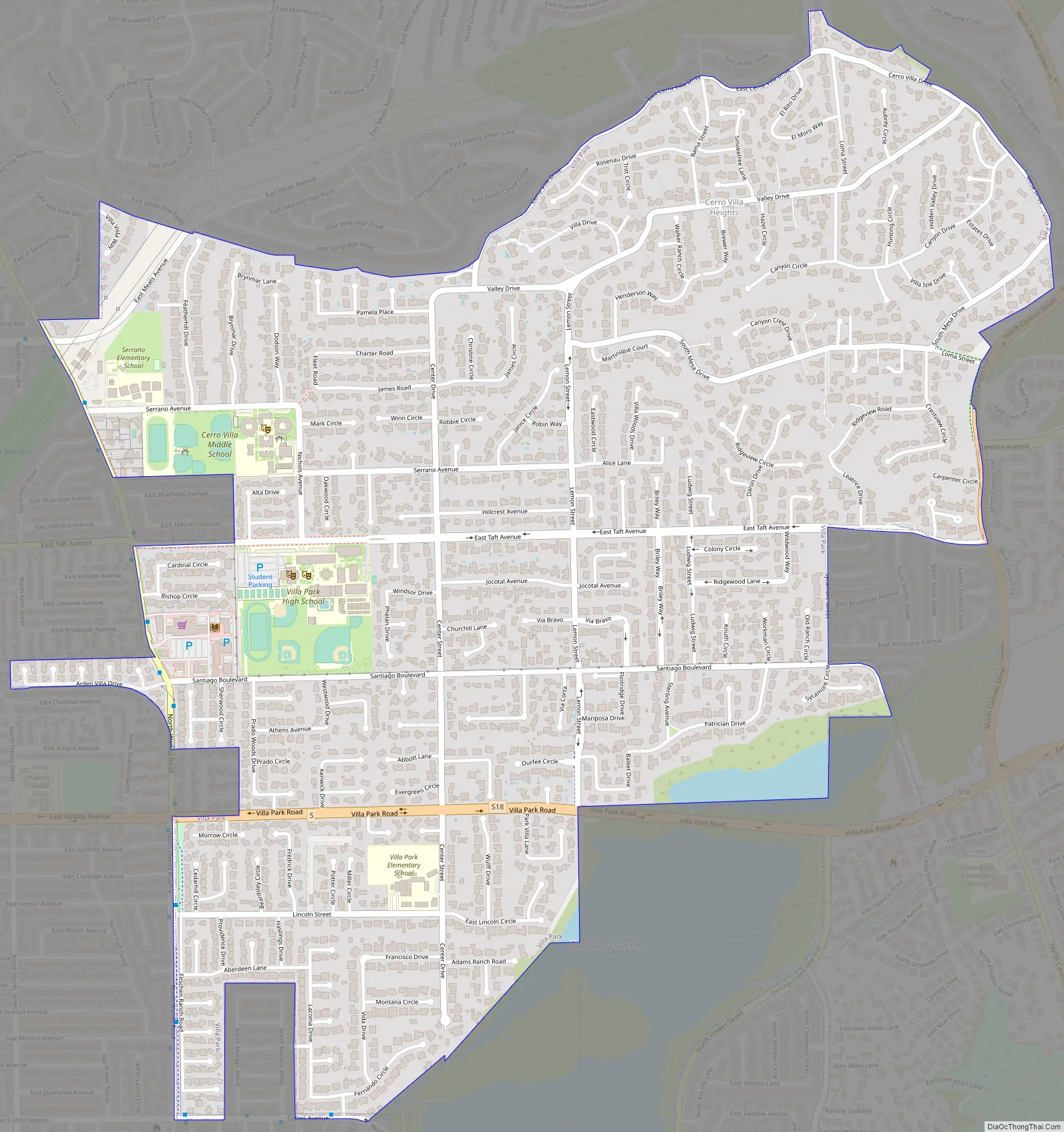
Villa Park Road Map
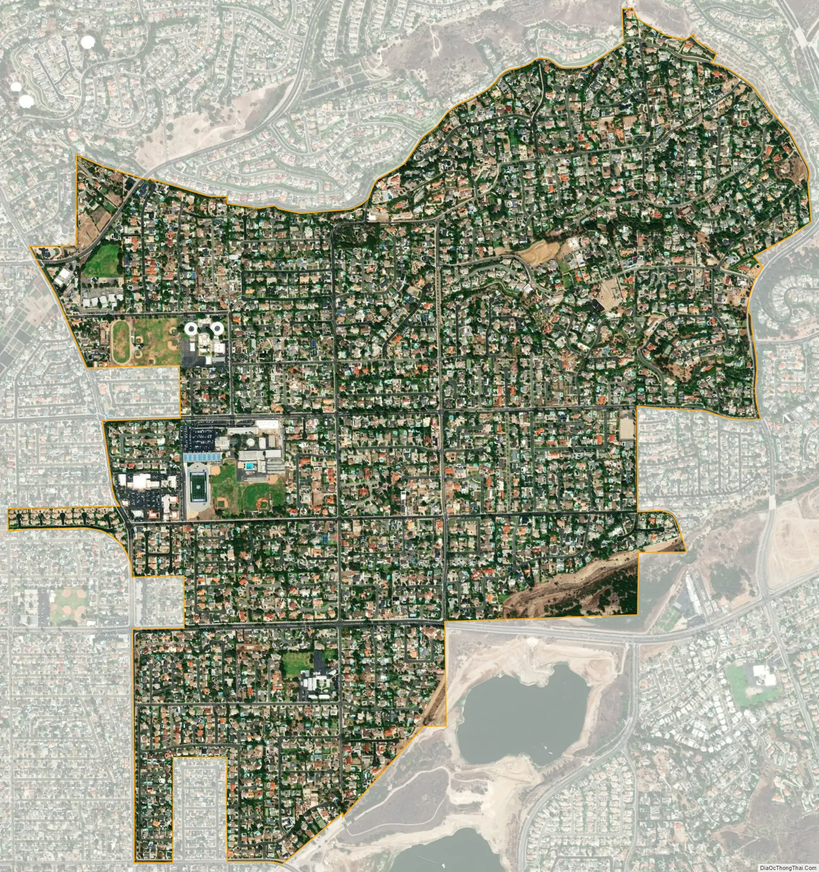
Villa Park city Satellite Map
Geography
Villa Park is located at 33°48′58″N 117°48′40″W / 33.81611°N 117.81111°W / 33.81611; -117.81111 (33.816183, −117.811106). According to the United States Census Bureau, the city has a total area of 2.1 square miles (5.4 km), all land.
There are no public parks within city limits; many homes have pools and/or tennis courts. Unlike more urban areas of Orange County west of the city, Villa Park has winding streets with few sidewalks and limited street lights. Throughout are trees and flower beds in planted medians and parkways. Surrounded by the city of Orange, Villa Park has the appearance of an enclave: the city’s early unwillingness to annex lands beyond Santiago Creek and those east of a power line easement between the city and Anaheim Hills.
See also
Map of California State and its subdivision:- Alameda
- Alpine
- Amador
- Butte
- Calaveras
- Colusa
- Contra Costa
- Del Norte
- El Dorado
- Fresno
- Glenn
- Humboldt
- Imperial
- Inyo
- Kern
- Kings
- Lake
- Lassen
- Los Angeles
- Madera
- Marin
- Mariposa
- Mendocino
- Merced
- Modoc
- Mono
- Monterey
- Napa
- Nevada
- Orange
- Placer
- Plumas
- Riverside
- Sacramento
- San Benito
- San Bernardino
- San Diego
- San Francisco
- San Joaquin
- San Luis Obispo
- San Mateo
- Santa Barbara
- Santa Clara
- Santa Cruz
- Shasta
- Sierra
- Siskiyou
- Solano
- Sonoma
- Stanislaus
- Sutter
- Tehama
- Trinity
- Tulare
- Tuolumne
- Ventura
- Yolo
- Yuba
- Alabama
- Alaska
- Arizona
- Arkansas
- California
- Colorado
- Connecticut
- Delaware
- District of Columbia
- Florida
- Georgia
- Hawaii
- Idaho
- Illinois
- Indiana
- Iowa
- Kansas
- Kentucky
- Louisiana
- Maine
- Maryland
- Massachusetts
- Michigan
- Minnesota
- Mississippi
- Missouri
- Montana
- Nebraska
- Nevada
- New Hampshire
- New Jersey
- New Mexico
- New York
- North Carolina
- North Dakota
- Ohio
- Oklahoma
- Oregon
- Pennsylvania
- Rhode Island
- South Carolina
- South Dakota
- Tennessee
- Texas
- Utah
- Vermont
- Virginia
- Washington
- West Virginia
- Wisconsin
- Wyoming


