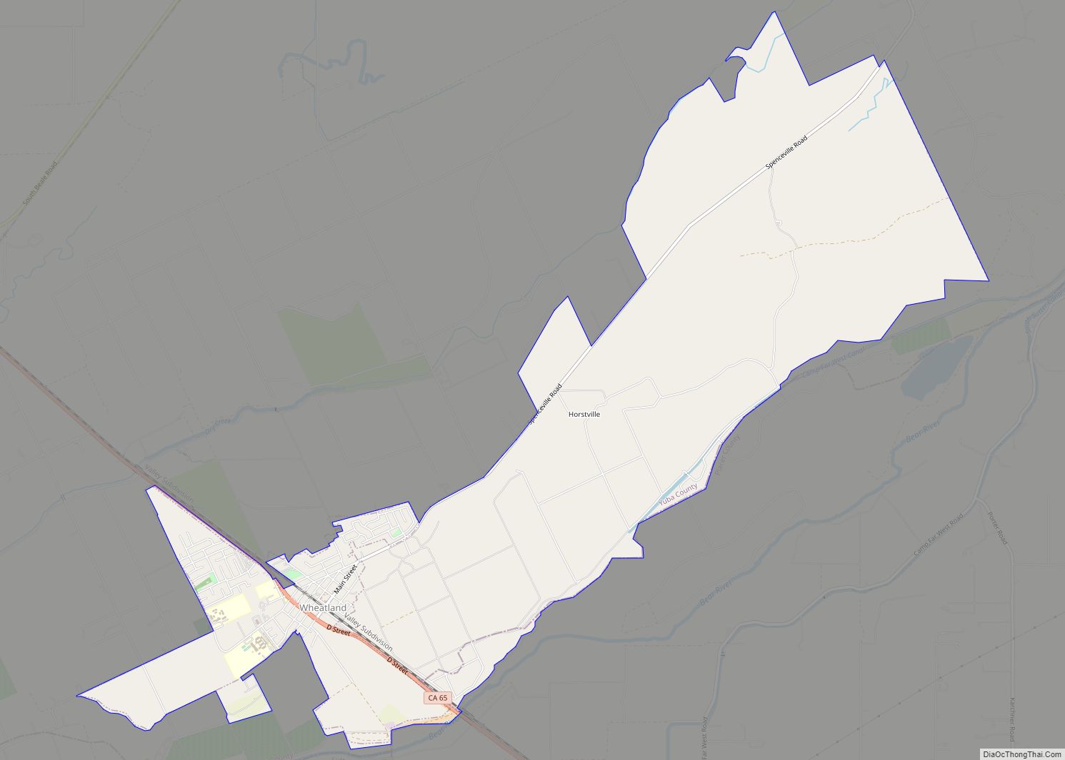
Map of Wildomar city

Map of Wildomar city

Wildomar is a city in southwest Riverside County, California, United States. The city was incorporated on July 1, 2008. As of the 2020 census, the population was 36,875. The community has grown very quickly during the early twenty-first century; the population has more than doubled since the 2000 census, when the community was still an … Read more

Map of Whittier city, California

Map of Whittier city, California

Whittier (/ˈhwɪtiər/) is a city in Southern California in Los Angeles County, part of the Gateway Cities. The 14.7-square-mile (38.0 km) city had 87,306 residents as of the 2020 United States census, an increase of 1,975 from the 2010 census figure. Whittier was incorporated in February 1898 and became a charter city in 1955. The city … Read more

Map of Whitley Gardens CDP

Map of Whitley Gardens CDP

Whitley Gardens is a census-designated place in San Luis Obispo County, California. Whitley Gardens sits at an elevation of 896 feet (273 m). The 2010 United States census reported Whitley Gardens’s population was 285. Whitley Gardens CDP overview: Name: Whitley Gardens CDP LSAD Code: 57 LSAD Description: CDP (suffix) State: California County: San Luis Obispo County … Read more

Map of Wilkerson CDP

Map of Wilkerson CDP

Wilkerson is a census-designated place (CDP) in Inyo County, California, United States. The population was 563 at the 2010 census, up from 562 at the 2000 census. Wilkerson CDP overview: Name: Wilkerson CDP LSAD Code: 57 LSAD Description: CDP (suffix) State: California County: Inyo County Total Area: 5.728 sq mi (14.835 km²) Land Area: 5.727 sq mi (14.833 km²) Water Area: … Read more

Map of Willits city

Map of Willits city

Willits (formerly Little Lake and Willitsville) is a city in Mendocino County, California, United States. It is located about 20 miles (32 km) north-northwest of Ukiah, at an elevation of 1,391 feet (424 m). The population was 4,988 at the 2020 census. Willits is at the center of Mendocino County and at the beginning of the county’s … Read more

Map of Williams city, California

Map of Williams city, California

Williams (formerly Central) is a city in Colusa County, California. The population was 5,643 at the time of the 2010 census, up from 3,670 at the 2000 census. Williams city overview: Name: Williams city LSAD Code: 25 LSAD Description: city (suffix) State: California County: Colusa County Incorporated: May 17, 1920 Elevation: 82 ft (25 m) Total Area: … Read more

Map of Willows city

Map of Willows city

Willows is a city and the county seat of Glenn County, California, located in the Sacramento Valley region of Northern California. The city is a home to regional government offices, including the California Highway Patrol, California Department of Motor Vehicles, the United States Bureau of Reclamation and the main offices of the Mendocino National Forest, … Read more

Map of Willowbrook CDP

Map of Willowbrook CDP, California

Willowbrook, alternatively named Willow Brook, is an unincorporated community and census-designated place (CDP) in Los Angeles County, California. The population was 24,295 at the 2020 census, down from 35,983 at the 2010 census. Willowbrook is the home to the newly renovated Martin Luther King Jr. Outpatient Center. Also located in Willowbrook is the Charles R. … Read more

Map of Willow Creek CDP, California

Map of Willow Creek CDP, California

Willow Creek (formerly China Flat) is a census-designated place (CDP) in Humboldt County, California, United States. The population was 1,710 at the 2010 census, down from 1,743 at the 2000 census. Residents of this small mountain town are commonly referred to as “Willow Creekers.” The town is located around 30 miles (48 km) from county seat … Read more

Map of Winchester CDP, California

Map of Winchester CDP, California

Winchester is a census-designated place (CDP) in Riverside County, California, USA. As of the 2010 census, the CDP had a total population of 2,534, up from 2,155 at the 2000 census. Winchester was founded in 1886 in Peasant Valley in what was then San Diego County. The town was named after the widow of Horace … Read more

Map of Wilton CDP, California

Map of Wilton CDP, California

Wilton is a census-designated place (CDP) in Sacramento County, California, United States. It is part of the Sacramento–Arden-Arcade–Roseville Metropolitan Statistical Area. The population was 5,363 at the 2010 census, up from 4,551 at the 2000 census. Wilton CDP overview: Name: Wilton CDP LSAD Code: 57 LSAD Description: CDP (suffix) State: California County: Sacramento County Elevation: … Read more

Map of Wilsonia CDP

Map of Wilsonia CDP

Wilsonia is a census-designated place (CDP) in Tulare County, California. Wilsonia sits at an elevation of 6,617 feet (2,017 m). It is surrounded by the General Grant Grove section of Kings Canyon National Park. Wilsonia CDP overview: Name: Wilsonia CDP LSAD Code: 57 LSAD Description: CDP (suffix) State: California County: Tulare County Elevation: 6,617 ft (2,017 m) Total … Read more