Willits (formerly Little Lake and Willitsville) is a city in Mendocino County, California, United States. It is located about 20 miles (32 km) north-northwest of Ukiah, at an elevation of 1,391 feet (424 m). The population was 4,988 at the 2020 census. Willits is at the center of Mendocino County and at the beginning of the county’s extensive redwood forests as approached by Highway 101 from the south.
An arch stands in the center of Willits featuring the slogans “Gateway to the Redwoods” and “Heart of Mendocino County”. The arch is the repurposed second version of the Reno Arch. Reno donated the arch to Willits in 1995.
| Name: | Willits city |
|---|---|
| LSAD Code: | 25 |
| LSAD Description: | city (suffix) |
| State: | California |
| County: | Mendocino County |
| Incorporated: | November 19, 1888 |
| Elevation: | 1,391 ft (424 m) |
| Total Area: | 2.82 sq mi (7.3 km²) |
| Land Area: | 2.82 sq mi (7.3 km²) |
| Water Area: | 0.00 sq mi (0.0 km²) 0.17% |
| Total Population: | 4,988 |
| Population Density: | 1,770.7/sq mi (683.7/km²) |
| ZIP code: | 95490 |
| Area code: | 707 |
| FIPS code: | 0685600 |
| GNISfeature ID: | 1652654 |
| Website: | cityofwillits.org |
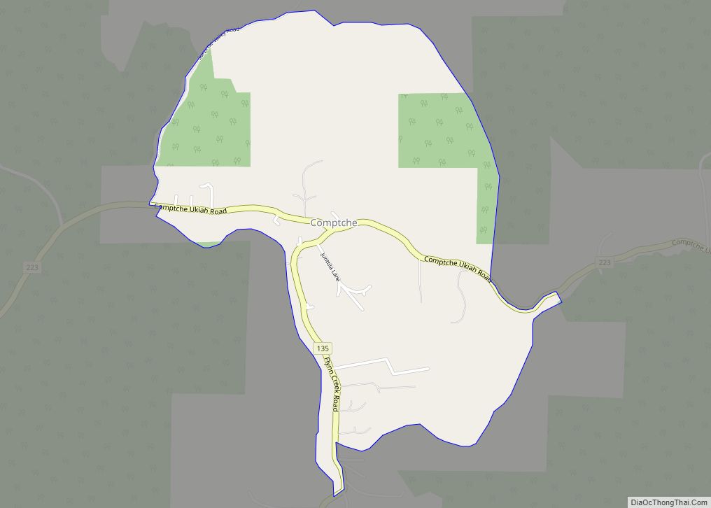
Online Interactive Map
Click on ![]() to view map in "full screen" mode.
to view map in "full screen" mode.
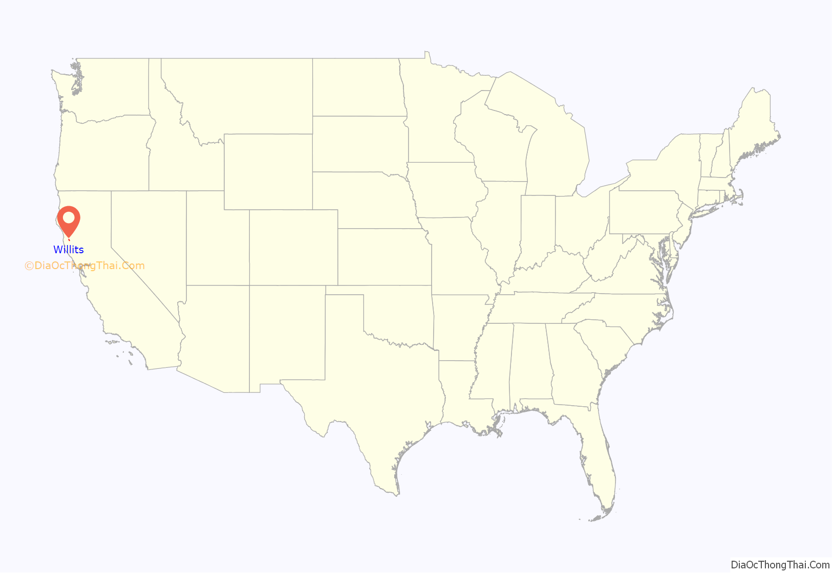
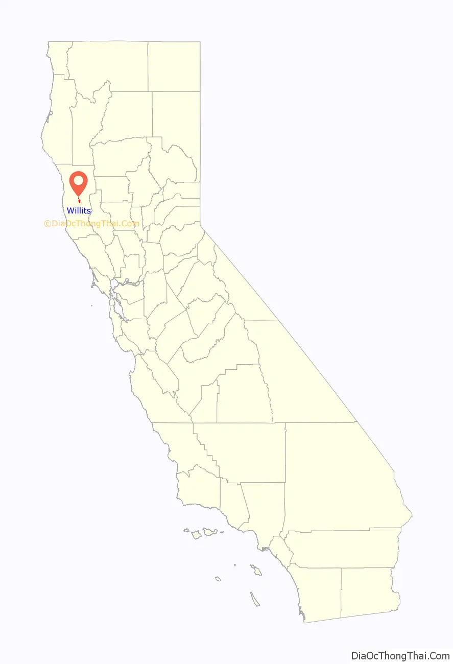
Willits location map. Where is Willits city?
History
Hiram Willits arrived from Indiana in 1857 to settle in the Little Lake Valley. Kirk Brier founded the settlement on Willits’ land. Willits was originally called “Willitsville”. Later, when the post office opened in 1861, it was called “Little Lake”. The name changed to Willits in 1874. The community incorporated in 1888.
Little Lake was the scene of a legendary feud between the Frost and Coates families. The Frost family supported the Confederacy during the American Civil War, and the Coates family supported the Union. Both families were passionate in their beliefs. On October 16, 1867, Election Day, the long-running feud came to a head. A brawl turned into a shootout in front of Baechtel’s store, leaving Abraham Coates, Henry Coates, Albert Coates, Thomas Coates and Elisha Frost dead on the street. Three others were wounded.
In 1879, three men were charged with petty larceny, having been accused of stealing a saddle and harness. The three, it was later reported, had for years been involved in stealing, robbing smokehouses, drinking, and reckless discharging of their firearms. They were taken to Brown’s Little Lake Hotel to await the arrival of the circuit court judge. Following a meeting at Willits’ Masonic Temple, 30 masked temple members seized the prisoners, and they were hanged from a nearby bridge. A newspaper reported there was no proof the murdered men were guilty of the charges.
Willits became a boomtown due to the tanbark industry. The 1970s “back to the land” homesteading movement paved the way for Willits’ reputation as the solar capital of the world in the 1980s.
The Willits area is the final home of the racehorse Seabiscuit. Ridgewood Ranch, where Seabiscuit trained, recuperated, lived out his retirement and was buried, is located a few miles south of the city.
Hexavalent chromium pollution and cleanup
Beginning in 1996, the city and many residents became embroiled in lawsuits against the Whitman Corporation (later acquired by PepsiCo, Inc.), alleging that hexavalent chromium pollution left by a chrome plating plant, which operated in Willits from 1964 to 1995, was responsible for several local health problems. Activist Erin Brockovich, known for the eponymous movie about her work in a similar case, participated in a lawsuit on behalf of the plaintiffs. By 2003, plans were put into place to inject a solution into strategic wells at the site to neutralize the chromium and remediate the pollution on site. These plans successfully reduced the pollution, and further injections and a monitoring plan were implemented in 2005 and 2008. In 2011, various lawsuits were combined into a single suit involving paying for the site cleanup and payouts to affected individuals; most lawsuits were resolved in 2012.
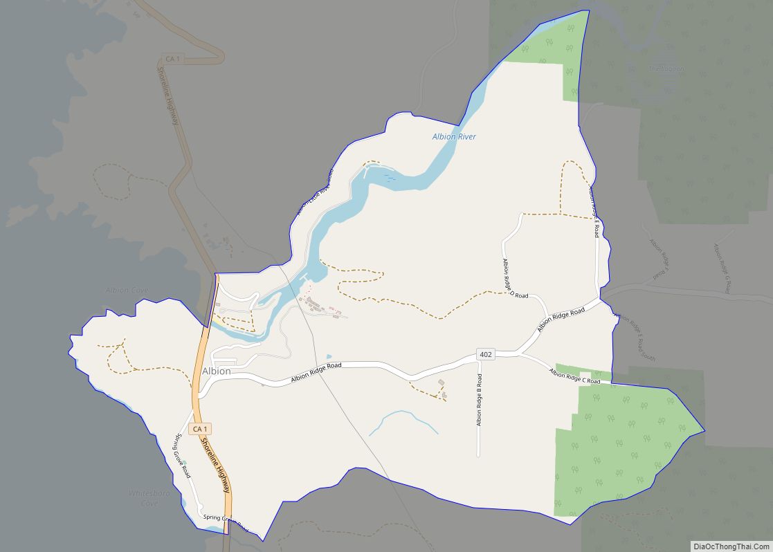
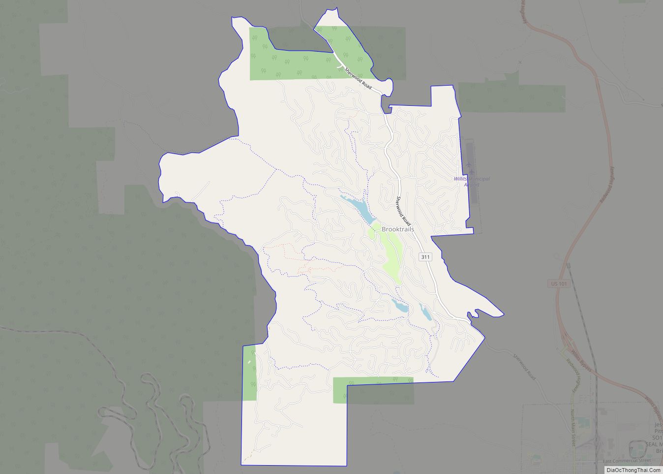
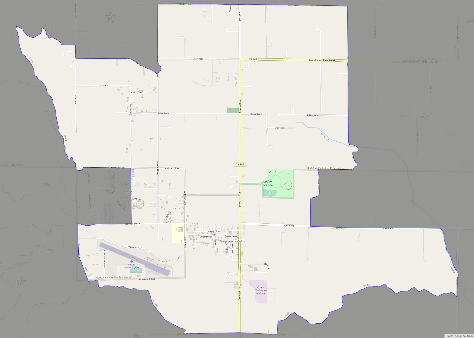
Willits Road Map

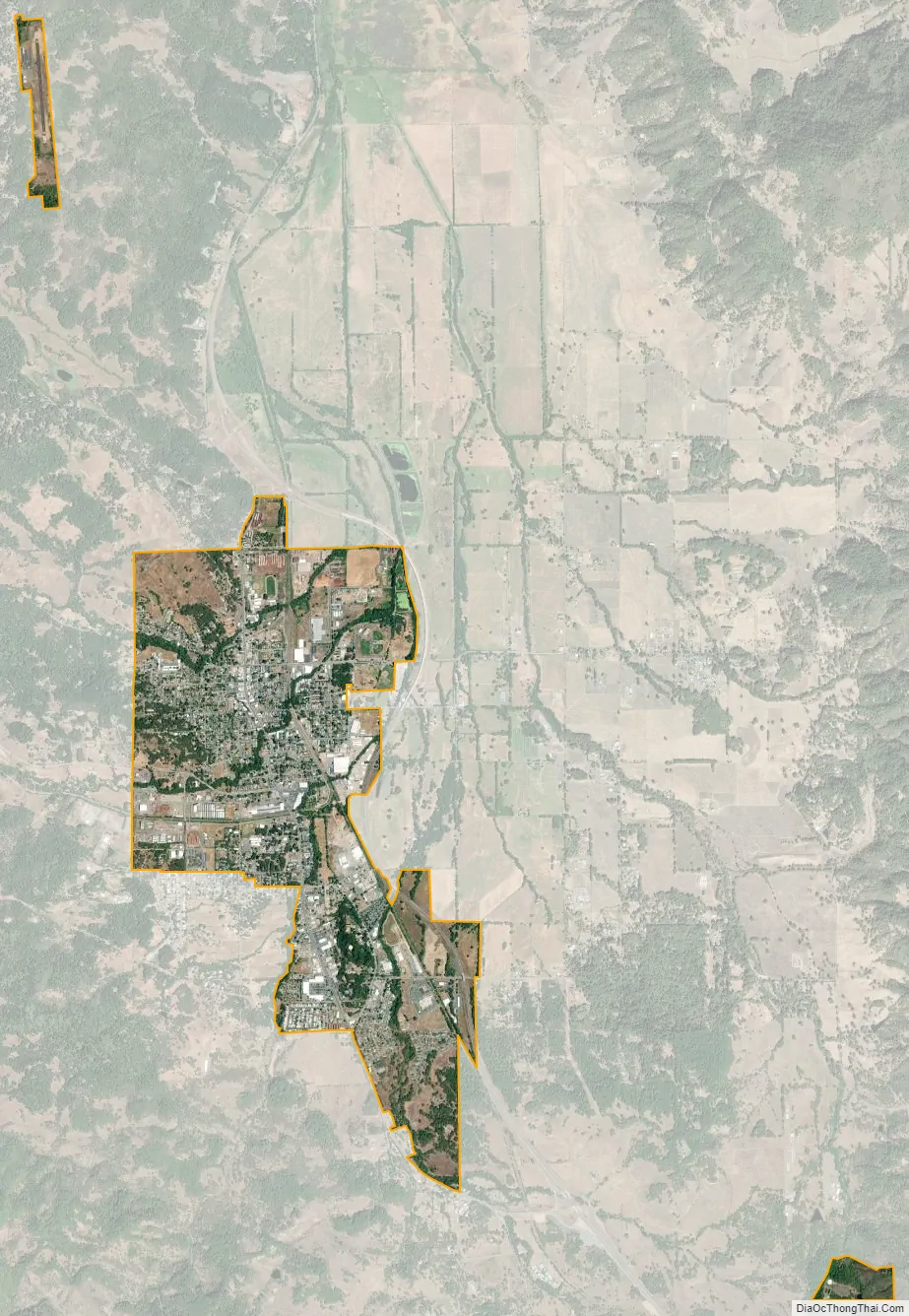
Willits city Satellite Map
Geography
Located at the center of Mendocino County in the Little Lake Valley, Willits is 23 miles (37 km) north of Ukiah and the same distance south of Laytonville on U.S. Route 101 (otherwise known as the Redwood Highway). It is on the west side of the Little Lake Valley, a 6 by 3 miles (10 by 5 km) area surrounded by the California Coast Ranges.
According to the U.S. Census Bureau, the city had a total area of 2.8 square miles (7.3 km), 99.96% of it land. Willits is located about halfway on the future Great Redwood Trail, a multi-use rail trail project.
Climate
Under the Köppen climate classification Willits has a dry-summer subtropical or mediterranean climate.
The mountains to the west along with a significant influence of mild Pacific air cause Willits to have a cool winter and hot day/cool night summer climate. Average January temperatures range from 32 °F (0 °C) to 55 °F (13 °C). Average July temperatures range from 47 °F (8 °C) to 85 °F (29 °C). There are an average of 26.9 days with highs of 90 °F (32 °C) or higher, and an average of 95.1 days with lows of 32 °F (0 °C) or lower. The record maximum temperature was 112 °F (44 °C) on July 24, 1902, and the record minimum temperature was 5 °F (−15 °C) on December 9, 1972.
Annual precipitation averages 49.23 inches (1,250 mm). The wettest year on record was 1983 with 91.58 inches (2,326 mm) and the driest year on record was 2009 with 30.87 inches (784 mm). The most precipitation in one month was 31.41 inches (798 mm) in December 1964. The most precipitation in 24 hours was 8.80 inches (224 mm) on December 22, 1964. There are an average of 94.8 days with measurable precipitation.
There are occasional snowfalls in Willits each year, with an average of 3.6 inches (9.1 cm) of snow annually. The most snow in one month was 20.0 inches (51 cm) in December 1964.
See also
Map of California State and its subdivision:- Alameda
- Alpine
- Amador
- Butte
- Calaveras
- Colusa
- Contra Costa
- Del Norte
- El Dorado
- Fresno
- Glenn
- Humboldt
- Imperial
- Inyo
- Kern
- Kings
- Lake
- Lassen
- Los Angeles
- Madera
- Marin
- Mariposa
- Mendocino
- Merced
- Modoc
- Mono
- Monterey
- Napa
- Nevada
- Orange
- Placer
- Plumas
- Riverside
- Sacramento
- San Benito
- San Bernardino
- San Diego
- San Francisco
- San Joaquin
- San Luis Obispo
- San Mateo
- Santa Barbara
- Santa Clara
- Santa Cruz
- Shasta
- Sierra
- Siskiyou
- Solano
- Sonoma
- Stanislaus
- Sutter
- Tehama
- Trinity
- Tulare
- Tuolumne
- Ventura
- Yolo
- Yuba
- Alabama
- Alaska
- Arizona
- Arkansas
- California
- Colorado
- Connecticut
- Delaware
- District of Columbia
- Florida
- Georgia
- Hawaii
- Idaho
- Illinois
- Indiana
- Iowa
- Kansas
- Kentucky
- Louisiana
- Maine
- Maryland
- Massachusetts
- Michigan
- Minnesota
- Mississippi
- Missouri
- Montana
- Nebraska
- Nevada
- New Hampshire
- New Jersey
- New Mexico
- New York
- North Carolina
- North Dakota
- Ohio
- Oklahoma
- Oregon
- Pennsylvania
- Rhode Island
- South Carolina
- South Dakota
- Tennessee
- Texas
- Utah
- Vermont
- Virginia
- Washington
- West Virginia
- Wisconsin
- Wyoming