Williams (formerly Central) is a city in Colusa County, California. The population was 5,643 at the time of the 2010 census, up from 3,670 at the 2000 census.
| Name: | Williams city |
|---|---|
| LSAD Code: | 25 |
| LSAD Description: | city (suffix) |
| State: | California |
| County: | Colusa County |
| Incorporated: | May 17, 1920 |
| Elevation: | 82 ft (25 m) |
| Total Area: | 4.95 sq mi (12.81 km²) |
| Land Area: | 4.95 sq mi (12.81 km²) |
| Water Area: | 0.00 sq mi (0.00 km²) 0% |
| Total Population: | 5,123 |
| Population Density: | 1,093.63/sq mi (422.29/km²) |
| ZIP code: | 95987 |
| Area code: | 530 |
| FIPS code: | 0685586 |
| Website: | www.cityofwilliams.org |
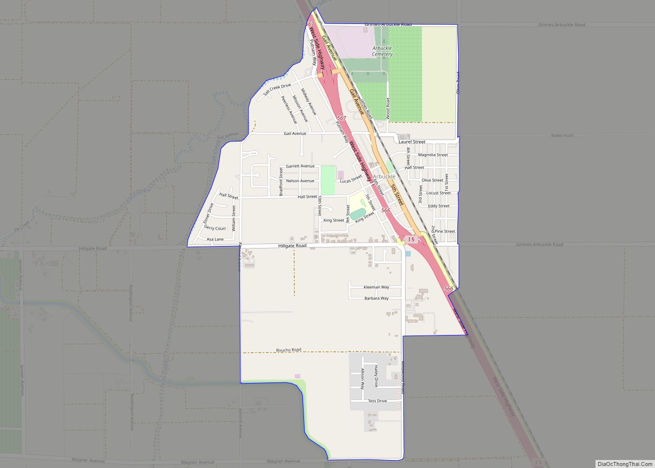
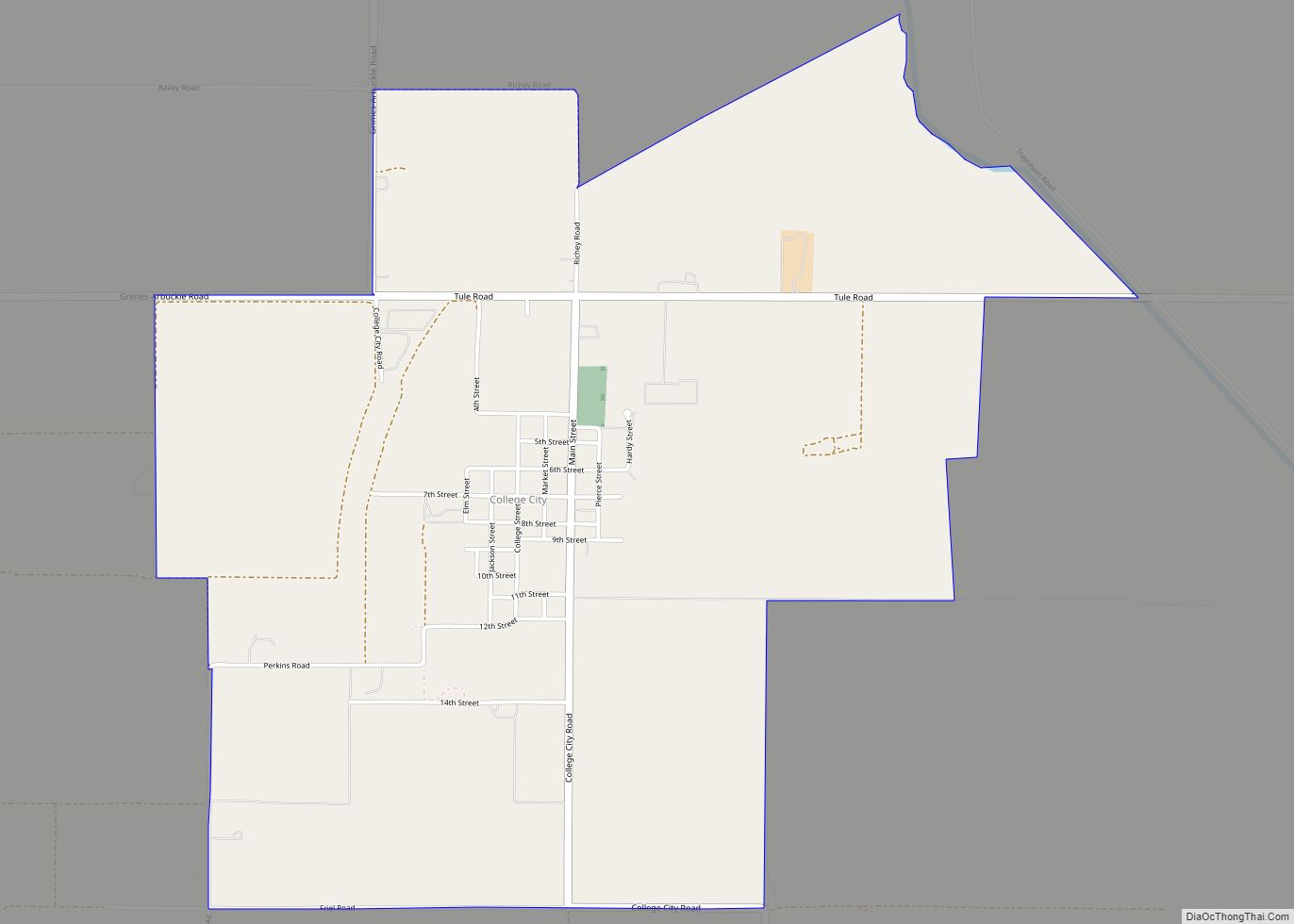
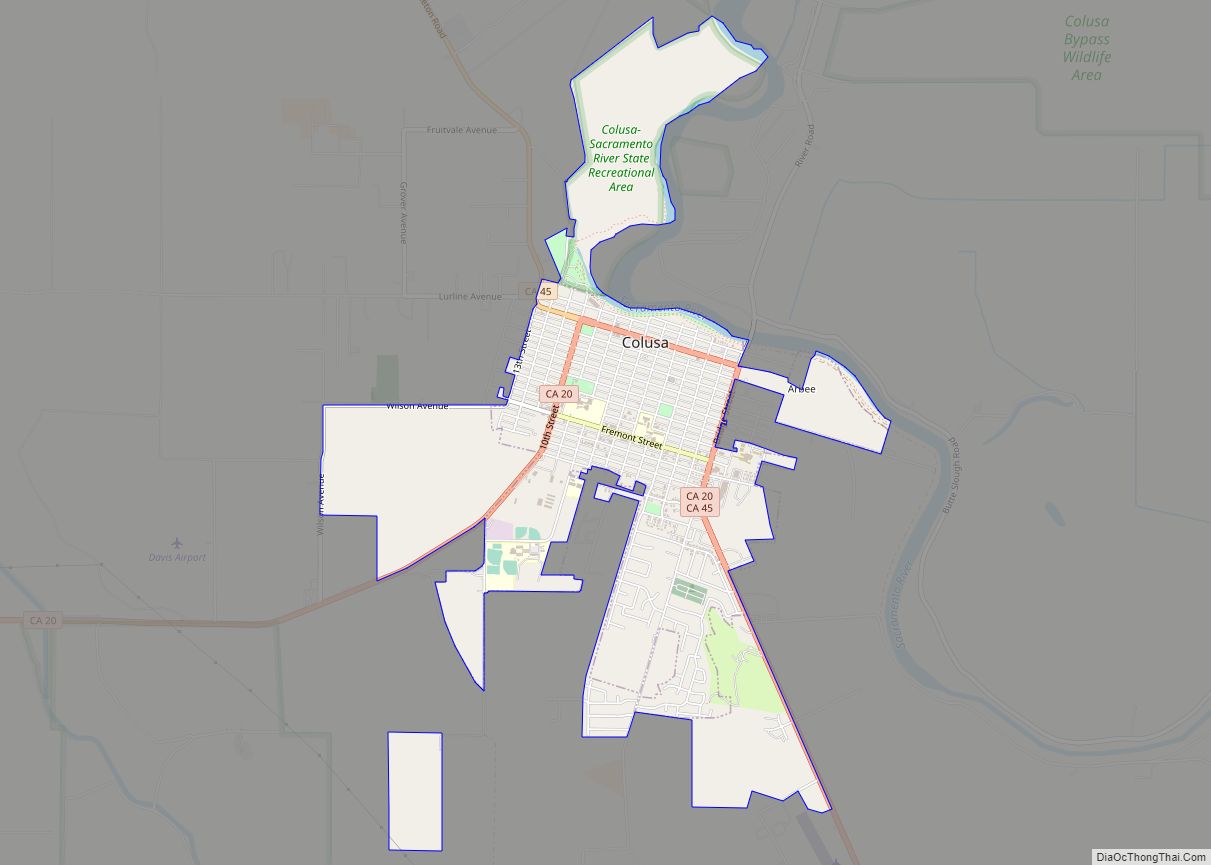
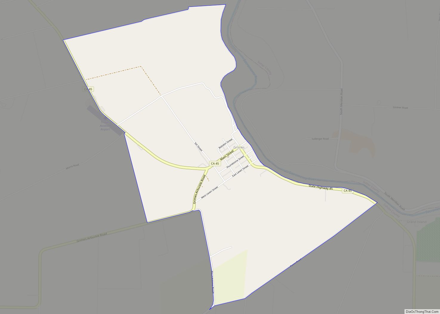
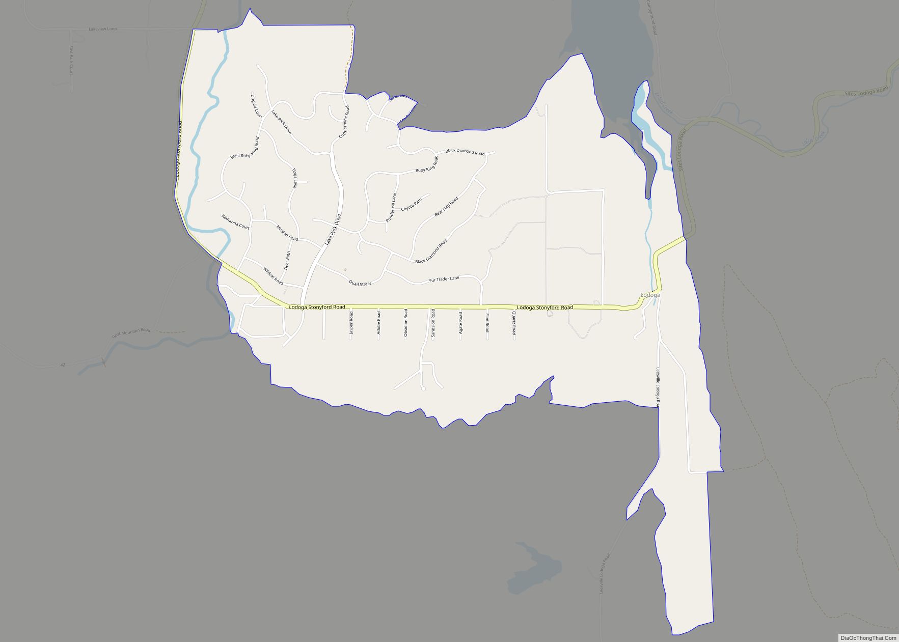
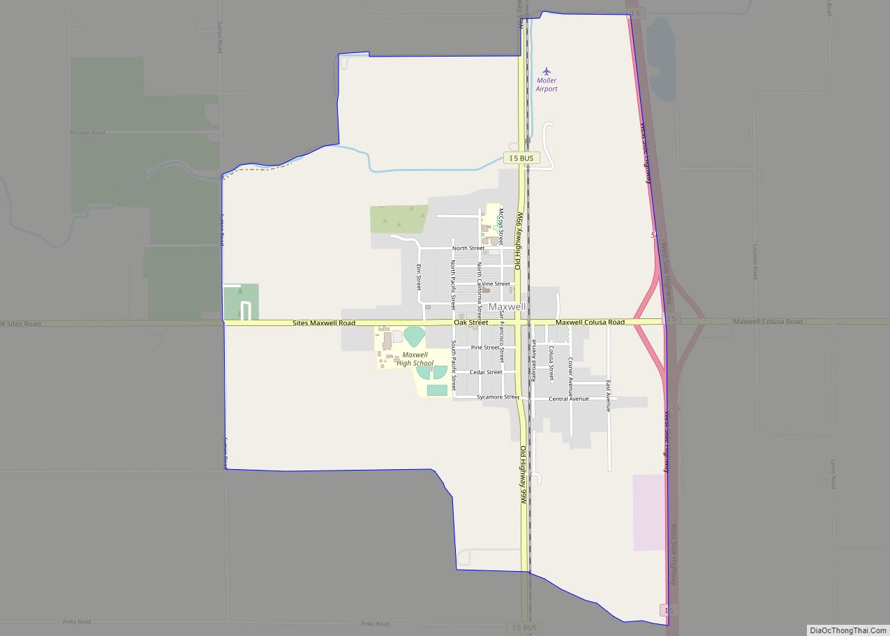
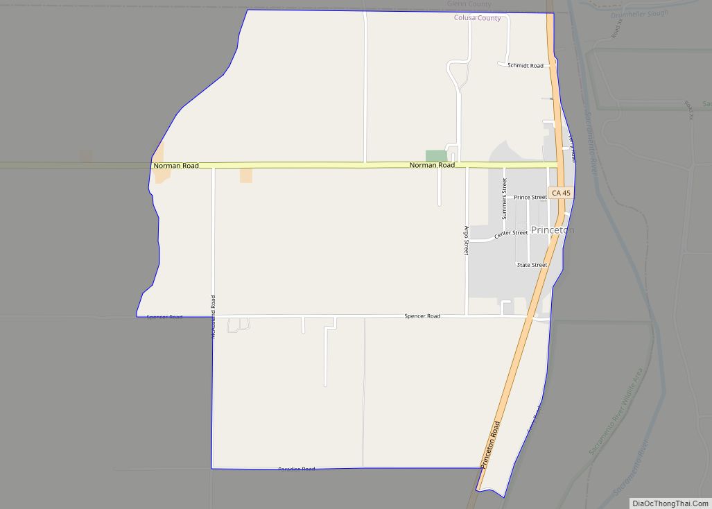
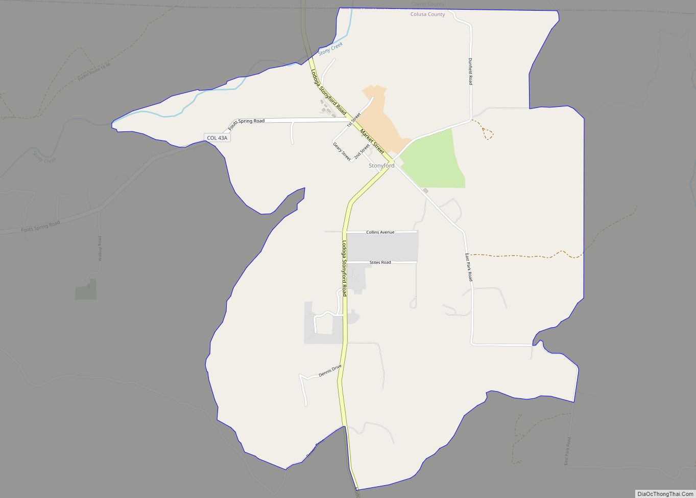
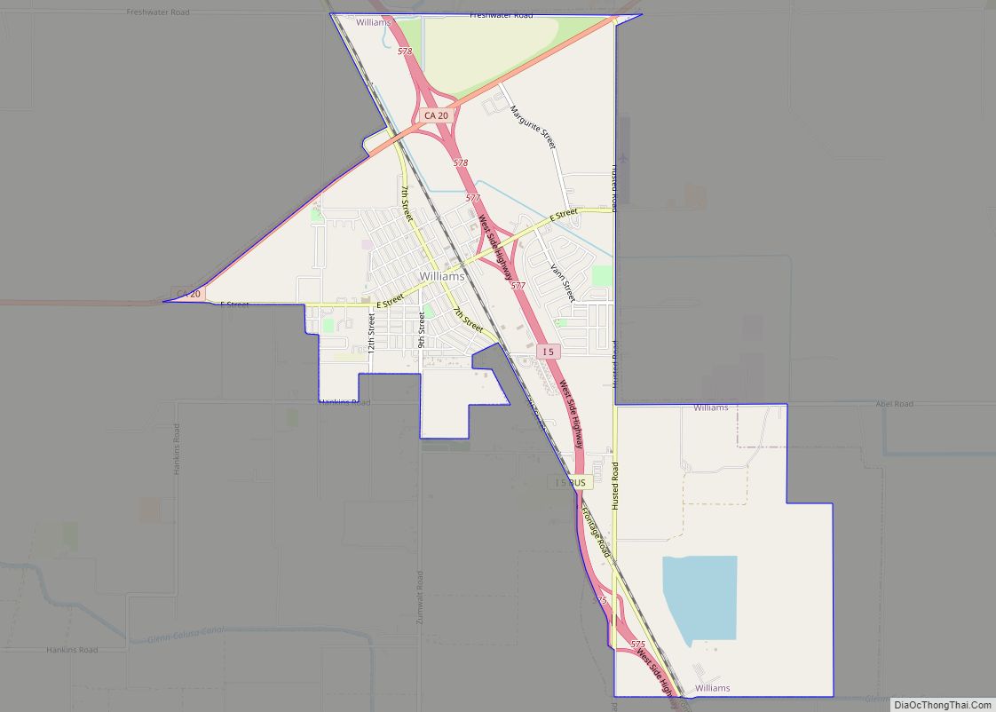
Online Interactive Map
Click on ![]() to view map in "full screen" mode.
to view map in "full screen" mode.
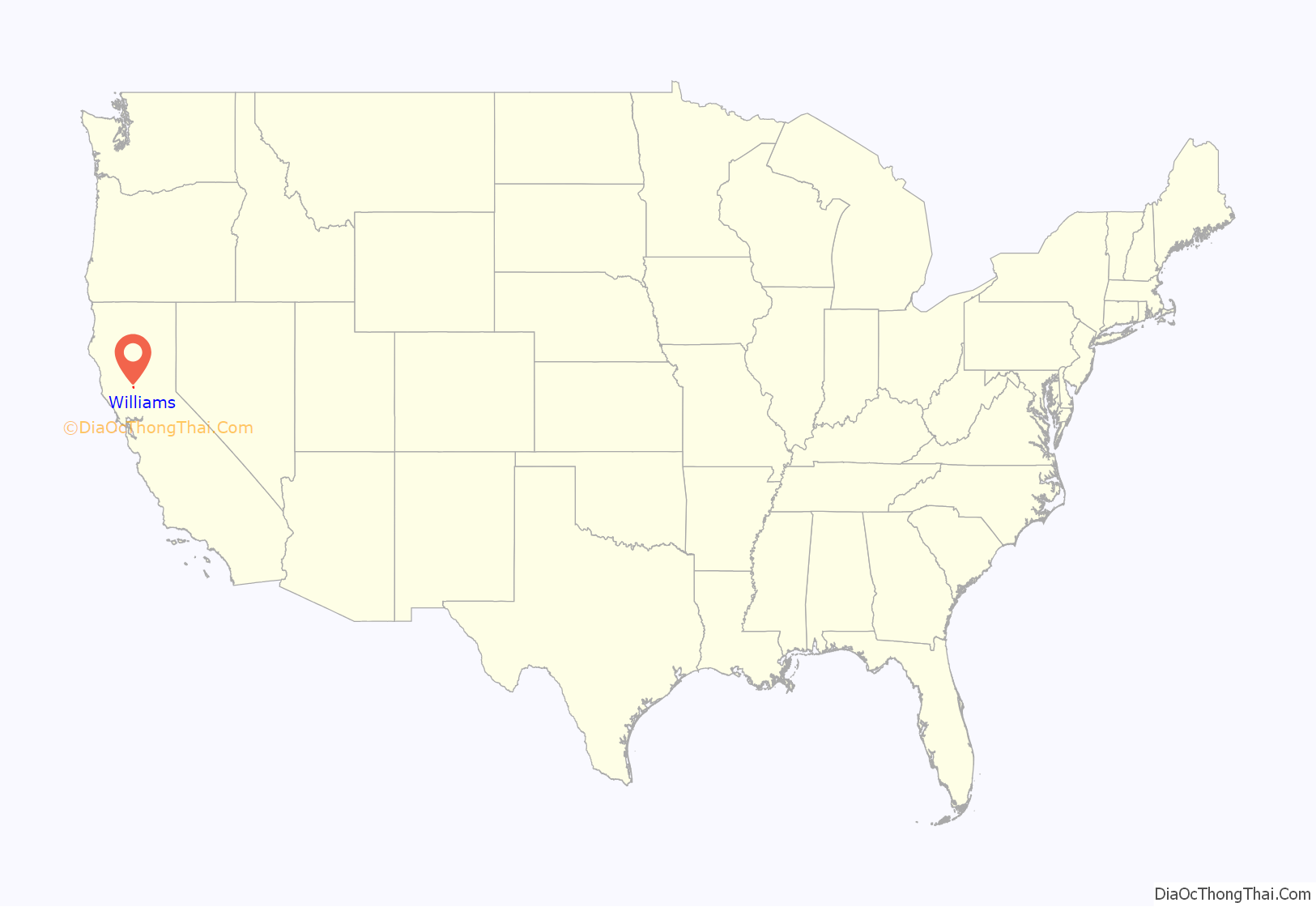
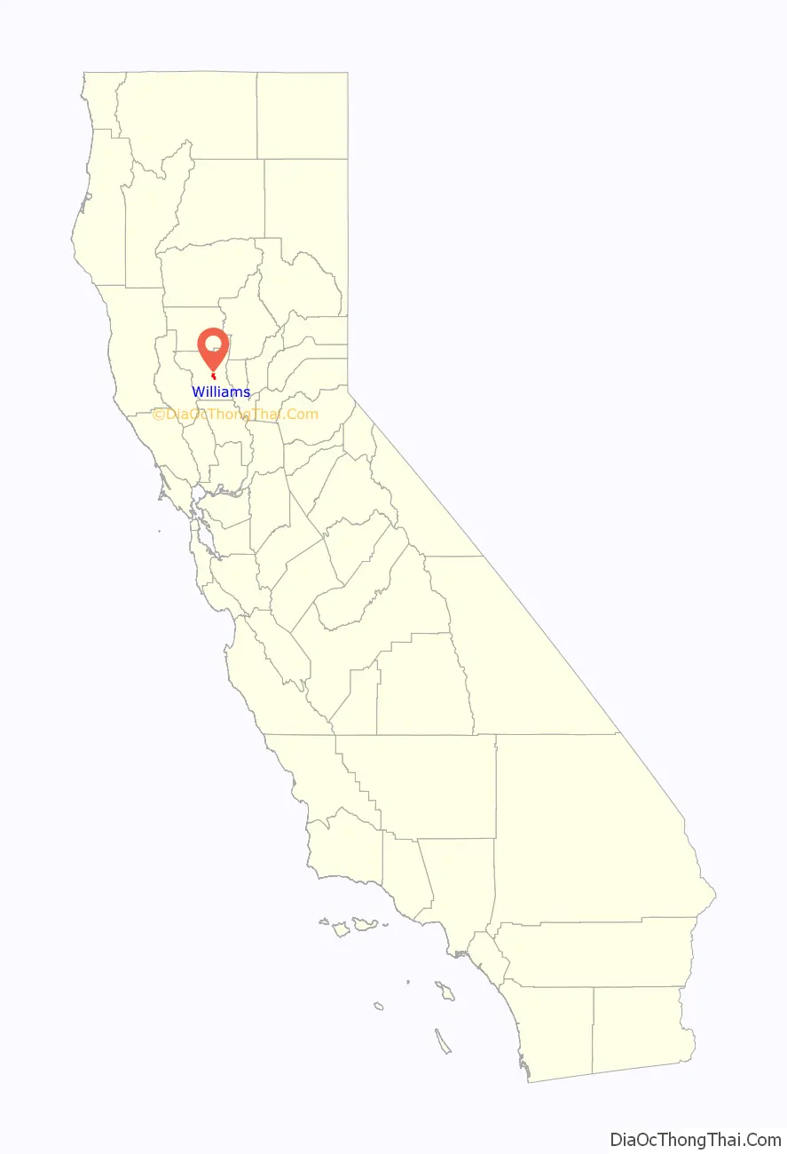
Williams location map. Where is Williams city?
History
The postal service established a post office at Central in 1874. The town and post office were renamed in 1876, in honor of W. H. Williams, who platted the townsite. The city of Williams was incorporated in 1920.
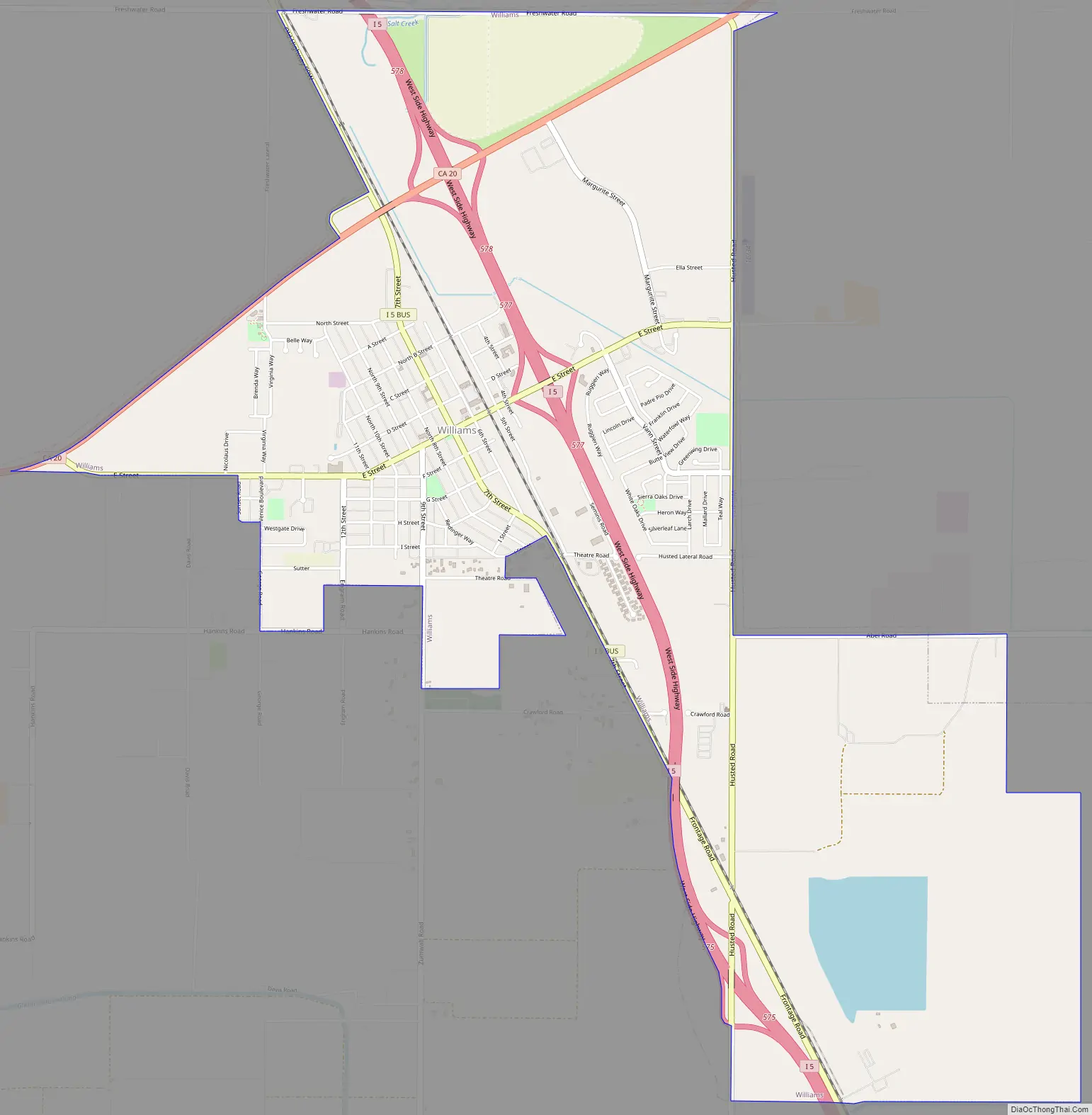
Williams Road Map
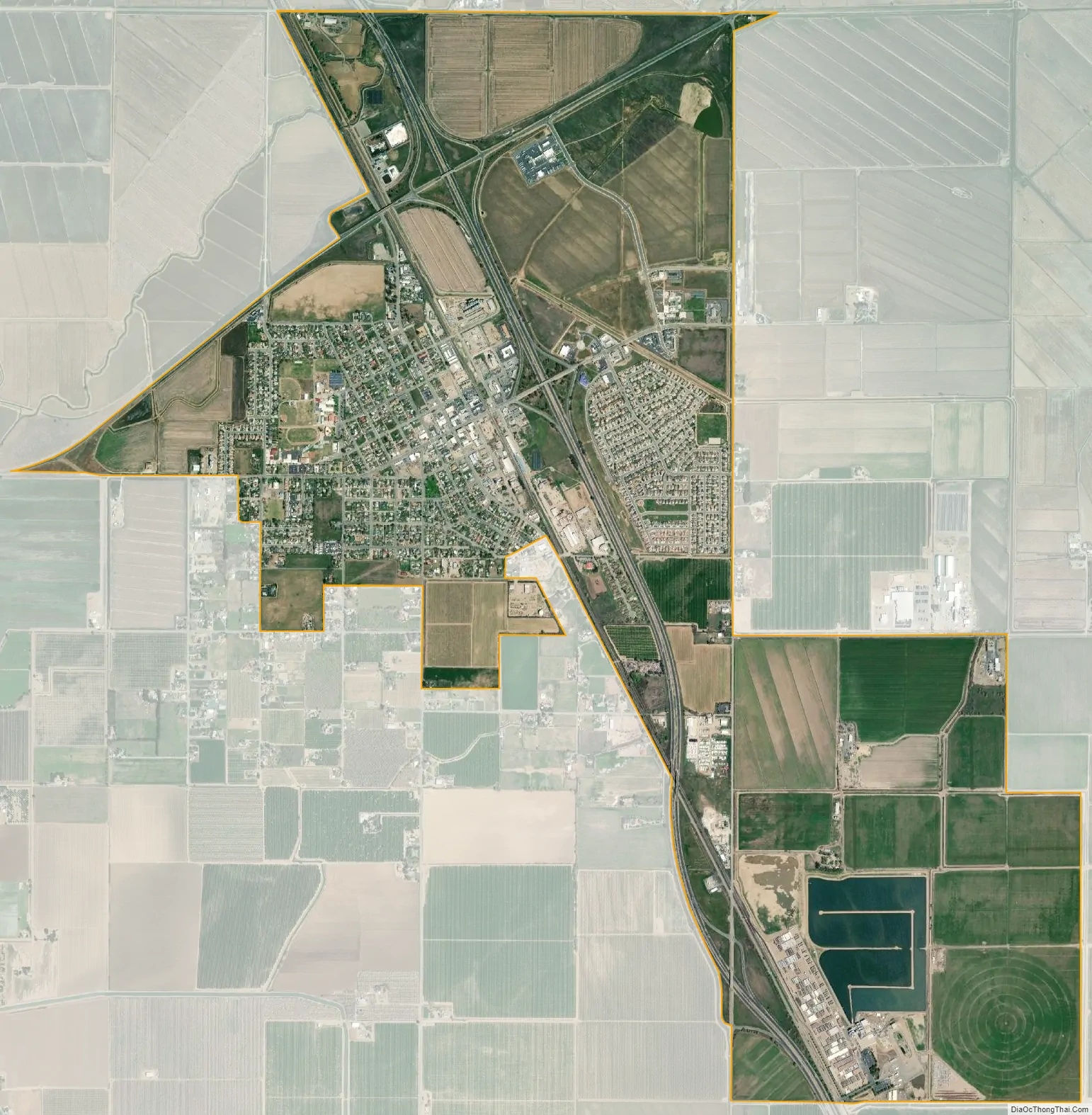
Williams city Satellite Map
Geography
According to the United States Census Bureau, the city has a total area of 5.4 square miles (14 km), all of it land.
See also
Map of California State and its subdivision:- Alameda
- Alpine
- Amador
- Butte
- Calaveras
- Colusa
- Contra Costa
- Del Norte
- El Dorado
- Fresno
- Glenn
- Humboldt
- Imperial
- Inyo
- Kern
- Kings
- Lake
- Lassen
- Los Angeles
- Madera
- Marin
- Mariposa
- Mendocino
- Merced
- Modoc
- Mono
- Monterey
- Napa
- Nevada
- Orange
- Placer
- Plumas
- Riverside
- Sacramento
- San Benito
- San Bernardino
- San Diego
- San Francisco
- San Joaquin
- San Luis Obispo
- San Mateo
- Santa Barbara
- Santa Clara
- Santa Cruz
- Shasta
- Sierra
- Siskiyou
- Solano
- Sonoma
- Stanislaus
- Sutter
- Tehama
- Trinity
- Tulare
- Tuolumne
- Ventura
- Yolo
- Yuba
- Alabama
- Alaska
- Arizona
- Arkansas
- California
- Colorado
- Connecticut
- Delaware
- District of Columbia
- Florida
- Georgia
- Hawaii
- Idaho
- Illinois
- Indiana
- Iowa
- Kansas
- Kentucky
- Louisiana
- Maine
- Maryland
- Massachusetts
- Michigan
- Minnesota
- Mississippi
- Missouri
- Montana
- Nebraska
- Nevada
- New Hampshire
- New Jersey
- New Mexico
- New York
- North Carolina
- North Dakota
- Ohio
- Oklahoma
- Oregon
- Pennsylvania
- Rhode Island
- South Carolina
- South Dakota
- Tennessee
- Texas
- Utah
- Vermont
- Virginia
- Washington
- West Virginia
- Wisconsin
- Wyoming