Willow Creek (formerly China Flat) is a census-designated place (CDP) in Humboldt County, California, United States. The population was 1,710 at the 2010 census, down from 1,743 at the 2000 census. Residents of this small mountain town are commonly referred to as “Willow Creekers.” The town is located around 30 miles (48 km) from county seat and harbor city Eureka, with the two places vastly differing in climate.
Willow Creek sits along the Trinity River. Willow Creek is described as a “rugged mountain community nestled in the heart of the Six Rivers National Forest.” This area of California is located in the Trinity/Shasta/Cascade Region, near the Oregon border, and is easily reached via State Routes 299 and 96 (the “Bigfoot Scenic Byway”).
The town is approximately 50 miles south of where the Patterson-Gimlin film was made. Willow creek calls itself the Bigfoot capital of the world, has a Bigfoot Museum and holds an annual “Bigfoot Daze” festival in September in honor of the creature, followed by various festivities in a local park. The roadhead of the Bluff Creek / Fish Lake Road, near which many alleged Bigfoot sightings and footprint finds occurred, is about 30 miles north, along Route 96.
An Amazon reviewer of the 2013 found-footage horror film, Willow Creek, says, “The endearing quirkiness of the town is captured very well in the iconography, the interviews (particularly with Steven S., the bookstore owner), and the food.” The Wikipedia review says, “The two stop off first in Willow Creek … where various locals talk to Jim’s camera, warning them to keep out of the woods, singing ballads about Bigfoot, and generally enjoying their 15 minutes in the spotlight while Jim and Kelly have a blast ….”
Willow Creek was served for many decades by the weekly Klamity Kourier newspaper, which closed in 2006 and was quickly replaced by the Bigfoot Valley News. The Bigfoot Valley News has since closed, but the regional newspaper, Two Rivers Tribune (www.tworiverstribune.com), opened in 1994 and is still going strong. Its news coverage area is from Burnt Ranch to Happy Camp, 97.5 miles (by Routes 299 and 96) to the north.
| Name: | Willow Creek CDP |
|---|---|
| LSAD Code: | 57 |
| LSAD Description: | CDP (suffix) |
| State: | California |
| County: | Humboldt County |
| Elevation: | 610 ft (186 m) |
| Total Area: | 30.610 sq mi (79.281 km²) |
| Land Area: | 30.310 sq mi (78.504 km²) |
| Water Area: | 0.300 sq mi (0.777 km²) 0.98% |
| Total Population: | 1,720 |
| Population Density: | 56/sq mi (22/km²) |
| ZIP code: | 95573 |
| Area code: | 530 |
| FIPS code: | 0685642 |
| GNISfeature ID: | 1660182 |
Online Interactive Map
Click on ![]() to view map in "full screen" mode.
to view map in "full screen" mode.
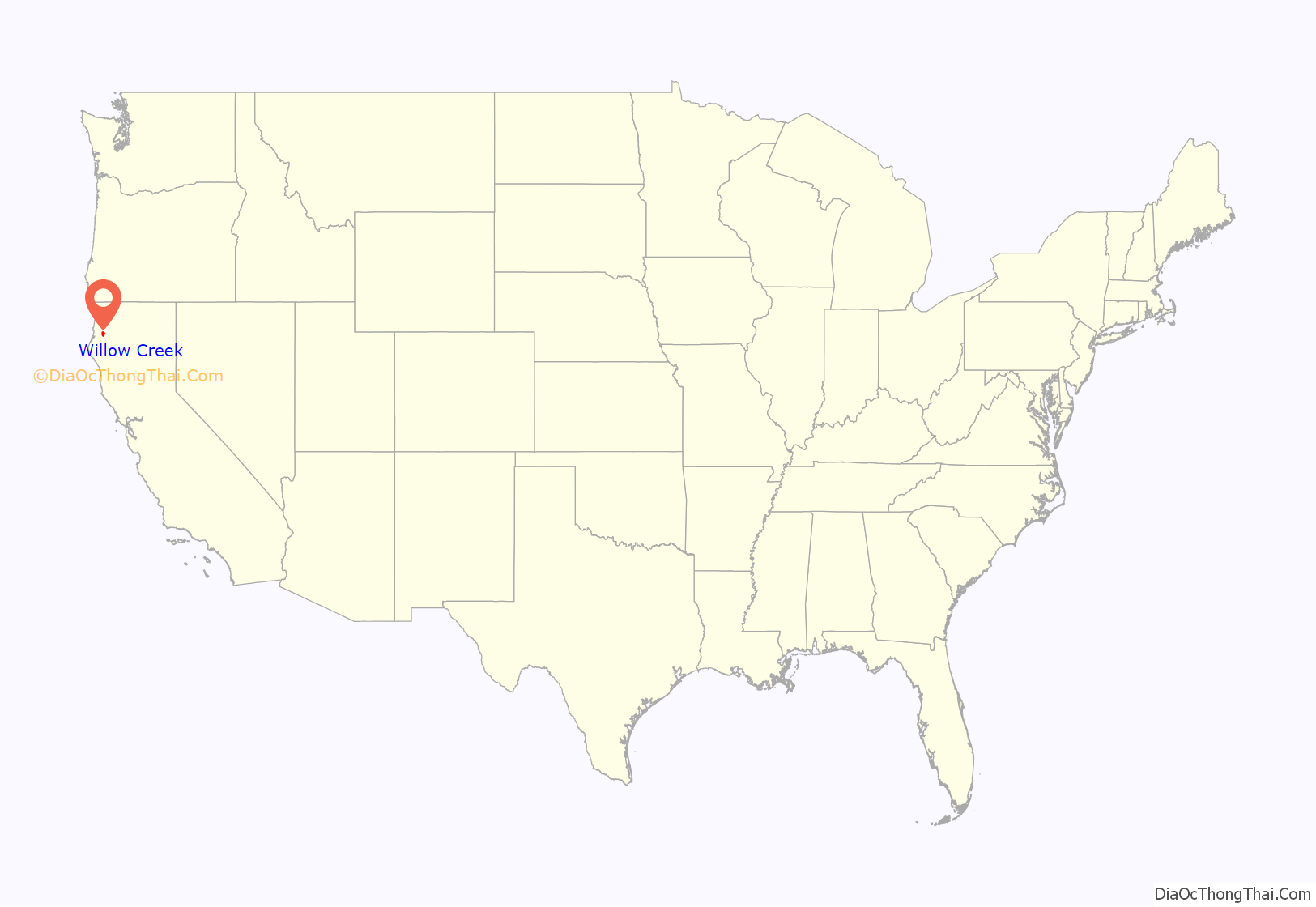
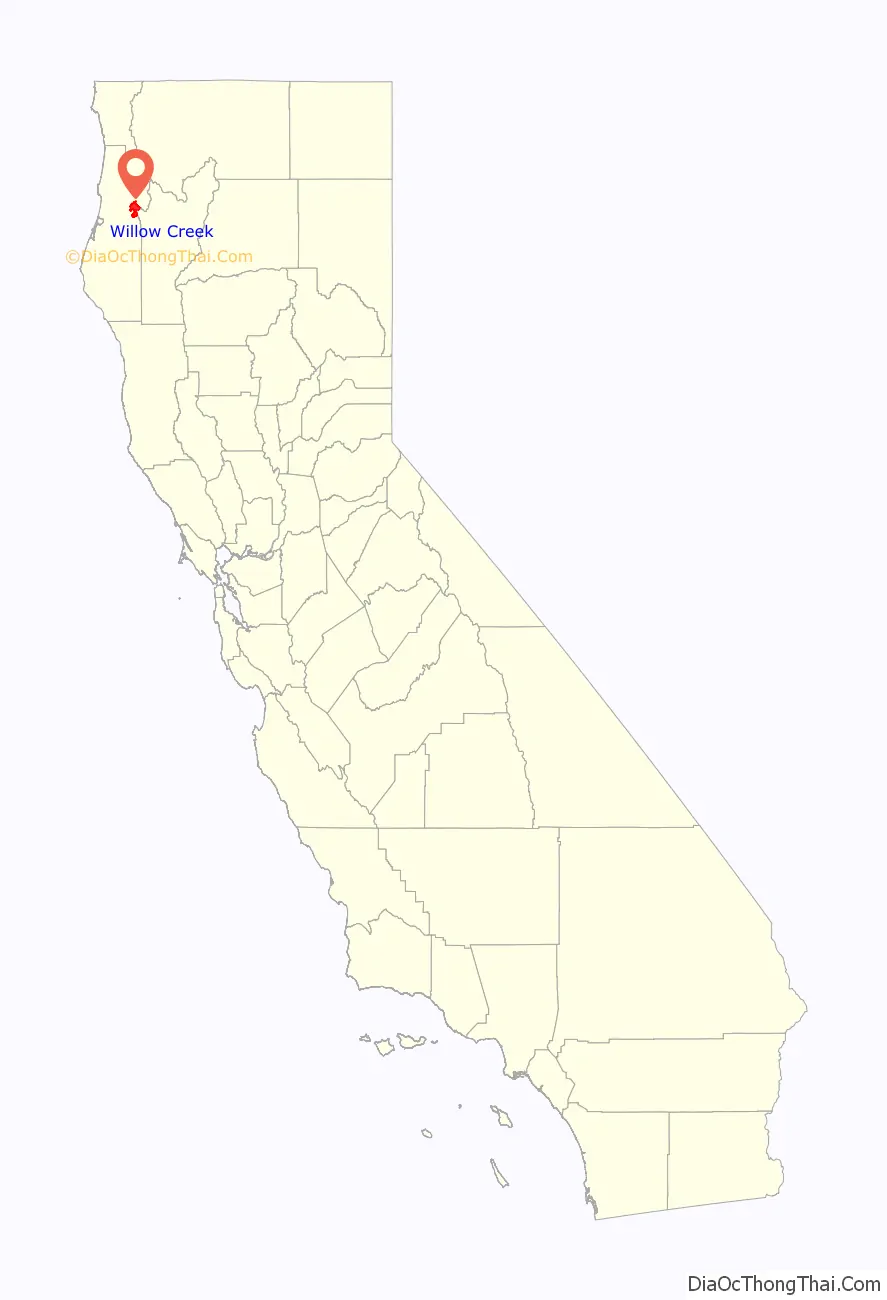
Willow Creek location map. Where is Willow Creek CDP?
History
The indigenous people from here are part of the Tsnungwe or South Fork Hupa and are speakers of the Hupa Language. Willow Creek’s first non-indigenous settlers were Chinese laborers from the mining and lumber camps, which earned the town the name China Flat. The China Flat post office opened in 1878, and changed its name to Willow Creek in 1915.
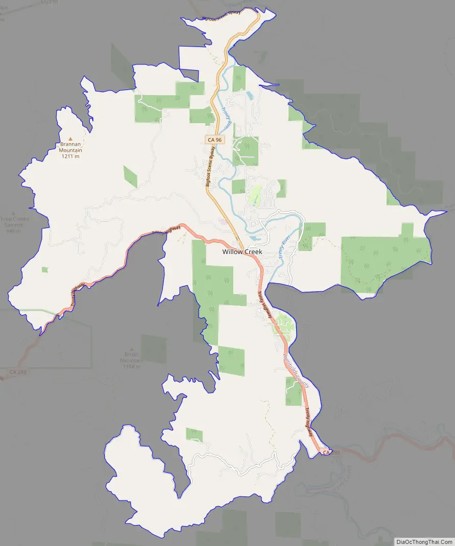
Willow Creek Road Map
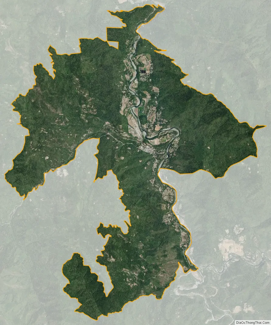
Willow Creek city Satellite Map
Geography
According to the United States Census Bureau, the CDP has a total area of 30.6 square miles (79 km), which include 30.3 square miles (78 km) of land and 0.3 square miles (0.78 km) of water.
The CDP in 2000, according to the United States Census Bureau, was larger with a total area of 204.5 square miles (530 km), which included 204.4 square miles (529 km) of land and 0.2 square miles (0.52 km) of water.
Climate
This region experiences much warmer summers than locations near the coast, such as county seat Eureka, but retains high winter rainfall associated with coastal locations. Daytime highs in summer represent areas with hot-summer-Mediterranean climates but are moderated by cool nights, causing high diurnal temperature variation. On climate maps, Willow Creek has a hot-summer Mediterranean climate (Csa). Summer highs are extremely hot compared to areas of the county affected by coastal fog. At the same time, winters are considerably colder, with light snowfall not unusual a few times per season.
See also
Map of California State and its subdivision:- Alameda
- Alpine
- Amador
- Butte
- Calaveras
- Colusa
- Contra Costa
- Del Norte
- El Dorado
- Fresno
- Glenn
- Humboldt
- Imperial
- Inyo
- Kern
- Kings
- Lake
- Lassen
- Los Angeles
- Madera
- Marin
- Mariposa
- Mendocino
- Merced
- Modoc
- Mono
- Monterey
- Napa
- Nevada
- Orange
- Placer
- Plumas
- Riverside
- Sacramento
- San Benito
- San Bernardino
- San Diego
- San Francisco
- San Joaquin
- San Luis Obispo
- San Mateo
- Santa Barbara
- Santa Clara
- Santa Cruz
- Shasta
- Sierra
- Siskiyou
- Solano
- Sonoma
- Stanislaus
- Sutter
- Tehama
- Trinity
- Tulare
- Tuolumne
- Ventura
- Yolo
- Yuba
- Alabama
- Alaska
- Arizona
- Arkansas
- California
- Colorado
- Connecticut
- Delaware
- District of Columbia
- Florida
- Georgia
- Hawaii
- Idaho
- Illinois
- Indiana
- Iowa
- Kansas
- Kentucky
- Louisiana
- Maine
- Maryland
- Massachusetts
- Michigan
- Minnesota
- Mississippi
- Missouri
- Montana
- Nebraska
- Nevada
- New Hampshire
- New Jersey
- New Mexico
- New York
- North Carolina
- North Dakota
- Ohio
- Oklahoma
- Oregon
- Pennsylvania
- Rhode Island
- South Carolina
- South Dakota
- Tennessee
- Texas
- Utah
- Vermont
- Virginia
- Washington
- West Virginia
- Wisconsin
- Wyoming


