Willowbrook, alternatively named Willow Brook, is an unincorporated community and census-designated place (CDP) in Los Angeles County, California. The population was 24,295 at the 2020 census, down from 35,983 at the 2010 census.
Willowbrook is the home to the newly renovated Martin Luther King Jr. Outpatient Center. Also located in Willowbrook is the Charles R. Drew University of Medicine and Science, which oversees residency training programs, allied health programs, a medical education program (jointly with the University of California, Los Angeles), a medical magnet high school, the area Head Start program, and various centers for health disparities research. Due to severe deficiencies, the former King/Drew Medical Center lost accreditation of several key residency training programs.
| Name: | Willowbrook CDP |
|---|---|
| LSAD Code: | 57 |
| LSAD Description: | CDP (suffix) |
| State: | California |
| County: | Los Angeles County |
| Elevation: | 95 ft (29 m) |
| Total Area: | 3.770 sq mi (9.765 km²) |
| Land Area: | 3.762 sq mi (9.744 km²) |
| Water Area: | 0.008 sq mi (0.021 km²) 0.21% |
| Total Population: | 24,295 |
| Population Density: | 6,400/sq mi (2,500/km²) |
| ZIP code: | 90022, 90059 & 90061 |
| Area code: | 310/424, 323 |
| FIPS code: | 0685614 |
| GNISfeature ID: | 1867074 |
Online Interactive Map
Click on ![]() to view map in "full screen" mode.
to view map in "full screen" mode.
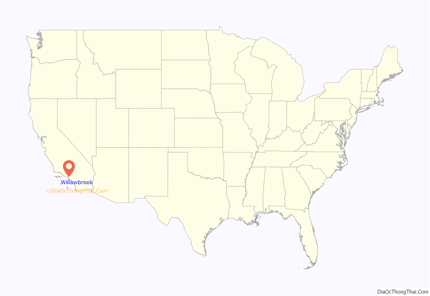
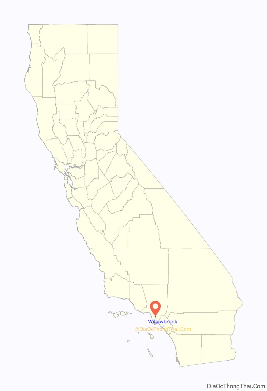
Willowbrook location map. Where is Willowbrook CDP?
History
Long before the name “Willowbrook” was given, willows and a slow, shallow brook separated this portion of the Los Angeles plain from the rest of it. The original rancho boundary of the 1840s was a lone, streamside willow tree along the present intersection of 125th Street and Mona Boulevard.
In the early days, springs were abundant in Willowbrook. Winter rains brought up fine ryegrass stands between gravelly ridges left by the long-ago floods of the Los Angeles River. Anastacio Avila was grazing cattle on the land as early as 1820. The Mexican governor had granted him 3,599 acres (14.56 km) acres by 1843. The grant was called Rancho La Tajauta, and it extended from the marshes along present Alameda Street westward to approximately the present line of the Harbor Freeway. Within the area covered by Rancho La Tajauta is all of present-day Willowbrook.
In 1894 and 1895, the first subdivisions in the Willowbrook area were registered along what is now Rosecrans Avenue. The name of Willowbrook was first formally used when Willowbrook Tract was recorded by the County Recorder in 1903. Next to the tract was the recently opened Pacific Electric Railway to Long Beach. There is no indication that a townsite had been envisioned and that street patterns were not synchronized. The Willowbrook name came into use for the entire area, because Pacific Electric Railroad Company’s Big Red Cars stopped at Willowbrook’s 126th Street.
In Willowbrook, lot purchasers expected to live a definitely suburban life. The deep lots, sometimes 300 feet or 91 meters in depth, attracted working-class families, especially newcomers to Southern California. The Big Red Cars offered fast and convenient transport to shops in downtown Los Angeles and jobs in port areas of Long Beach and San Pedro. During the Depression years, residents used the land behind their homes to cultivate fruits and vegetables, run hogs, and raise chickens. This use of land, along with the vacant lots filled with mustard plants, enhanced the rural appearance of the area. Increased suburban growth occurred in Willowbrook after the end of the Depression and World War II, but not so much that the agricultural character of the area was drastically modified. Even the Watts Riots of 1965 did not change that, although Willowbrook had a variety of buildings, including the community library of Willowbrook, damaged.
The blend of agricultural and residential land use persisted at Willowbrook into the early 1980s, when a redevelopment plan drawn up by the Watts Labor Community Action Committee from 1965 to 1993 and funded by Los Angeles County caused the area to lose its rural character. 365 acres (1.48 km) acres of Willowbrook land were redeveloped under this plan to include new commercial and residential facilities. The appearance of present-day Willowbrook is similar to other communities in the South Central section of Los Angeles because of this.
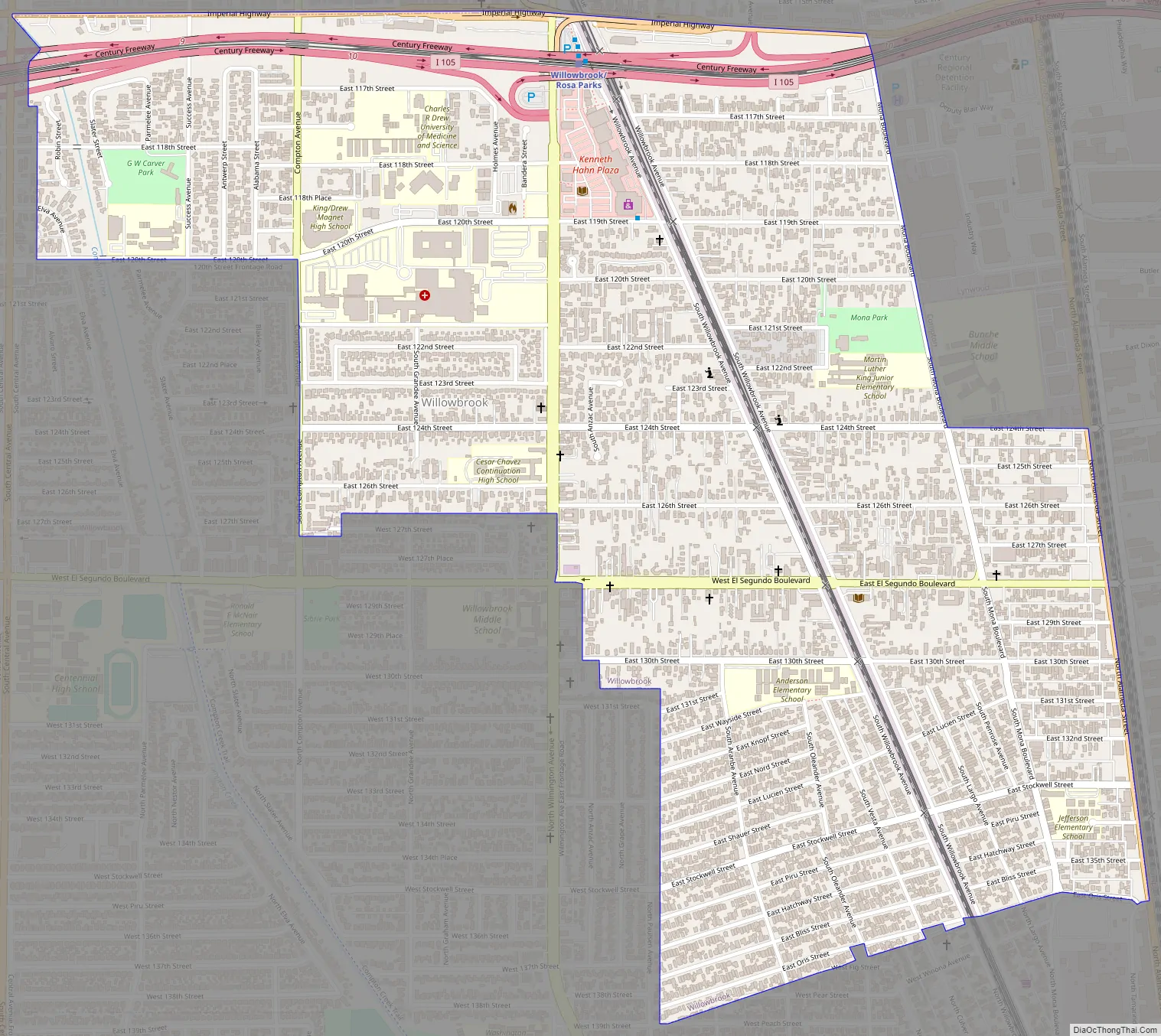
Willowbrook Road Map
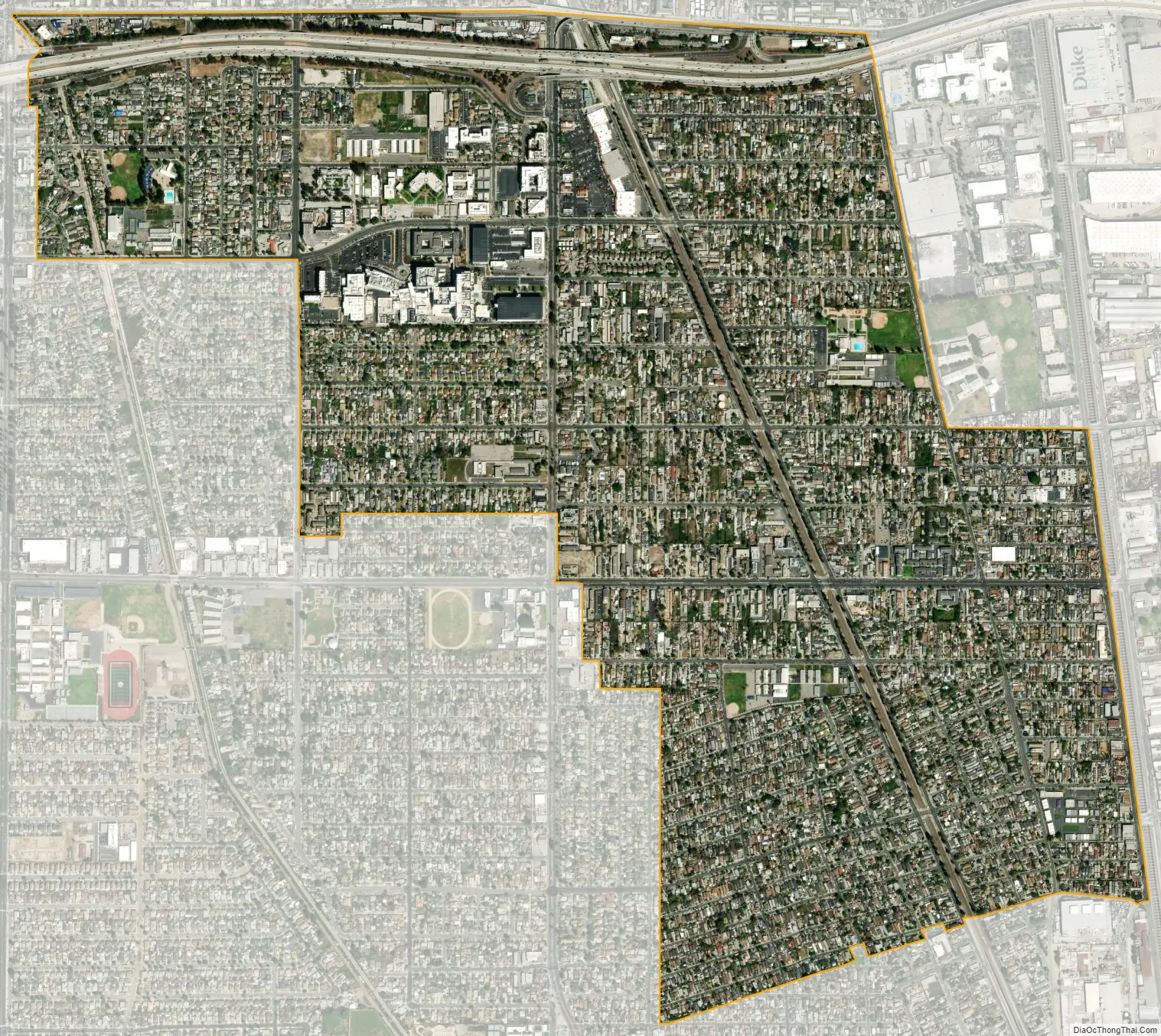
Willowbrook city Satellite Map
Geography
Willowbrook is located at 33°55′3″N 118°15′10″W / 33.91750°N 118.25278°W / 33.91750; -118.25278 (33.917515, -118.252705).
According to the United States Census Bureau, the CDP has a total area of 3.8 square miles (9.8 km), over 99% of it land.
See also
Map of California State and its subdivision:- Alameda
- Alpine
- Amador
- Butte
- Calaveras
- Colusa
- Contra Costa
- Del Norte
- El Dorado
- Fresno
- Glenn
- Humboldt
- Imperial
- Inyo
- Kern
- Kings
- Lake
- Lassen
- Los Angeles
- Madera
- Marin
- Mariposa
- Mendocino
- Merced
- Modoc
- Mono
- Monterey
- Napa
- Nevada
- Orange
- Placer
- Plumas
- Riverside
- Sacramento
- San Benito
- San Bernardino
- San Diego
- San Francisco
- San Joaquin
- San Luis Obispo
- San Mateo
- Santa Barbara
- Santa Clara
- Santa Cruz
- Shasta
- Sierra
- Siskiyou
- Solano
- Sonoma
- Stanislaus
- Sutter
- Tehama
- Trinity
- Tulare
- Tuolumne
- Ventura
- Yolo
- Yuba
- Alabama
- Alaska
- Arizona
- Arkansas
- California
- Colorado
- Connecticut
- Delaware
- District of Columbia
- Florida
- Georgia
- Hawaii
- Idaho
- Illinois
- Indiana
- Iowa
- Kansas
- Kentucky
- Louisiana
- Maine
- Maryland
- Massachusetts
- Michigan
- Minnesota
- Mississippi
- Missouri
- Montana
- Nebraska
- Nevada
- New Hampshire
- New Jersey
- New Mexico
- New York
- North Carolina
- North Dakota
- Ohio
- Oklahoma
- Oregon
- Pennsylvania
- Rhode Island
- South Carolina
- South Dakota
- Tennessee
- Texas
- Utah
- Vermont
- Virginia
- Washington
- West Virginia
- Wisconsin
- Wyoming


