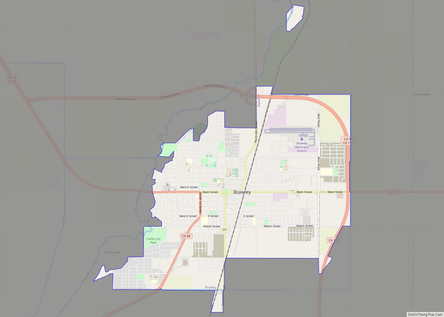
Brawley (formerly Braly) is a city in Imperial County, California, United States within the Imperial Valley. The population was 24,953 at the 2010 census, up from 22,052 in 2000. Year-round agriculture is an important economic activity in Brawley. The town has a significant cattle and feed industry, and hosts the annual Cattle Call Rodeo. Summer ... Read more
California Cities and Places
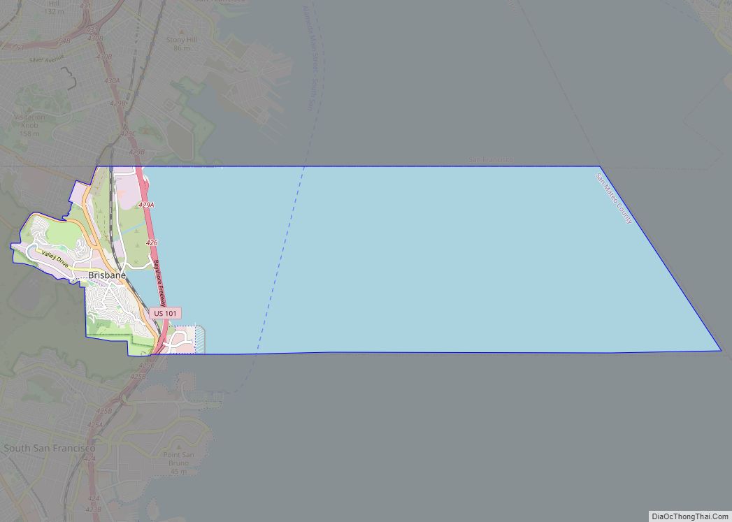
Brisbane (pron. /ˈbrɪzbeɪn/ BRIZ-bayn) is a small city in San Mateo County, California, located on the lower slopes of the San Bruno Mountain. The city is on the northeastern edge of San Mateo County, located immediately south of the San Francisco city limits on the San Francisco Bay. The population was 4,851 as of the ... Read more
Bridgeport is an unincorporated community and census-designated place (CDP) in Mono County, California, United States. It is the Mono county seat. The population was 553 at the 2020 census. The first post office at Bridgeport opened in 1864. The ZIP code is 93517, and the community is in area codes 760 and 442. Bridgeport CDP ... Read more
Bret Harte is a census-designated place (CDP) in Stanislaus County, California, United States. The population was 5,152 at the 2010 census, down from 5,161 at the 2000 census. It is part of the Modesto Metropolitan Statistical Area. It is named for the American poet and short story writer, Bret Harte, best known for his writings ... Read more
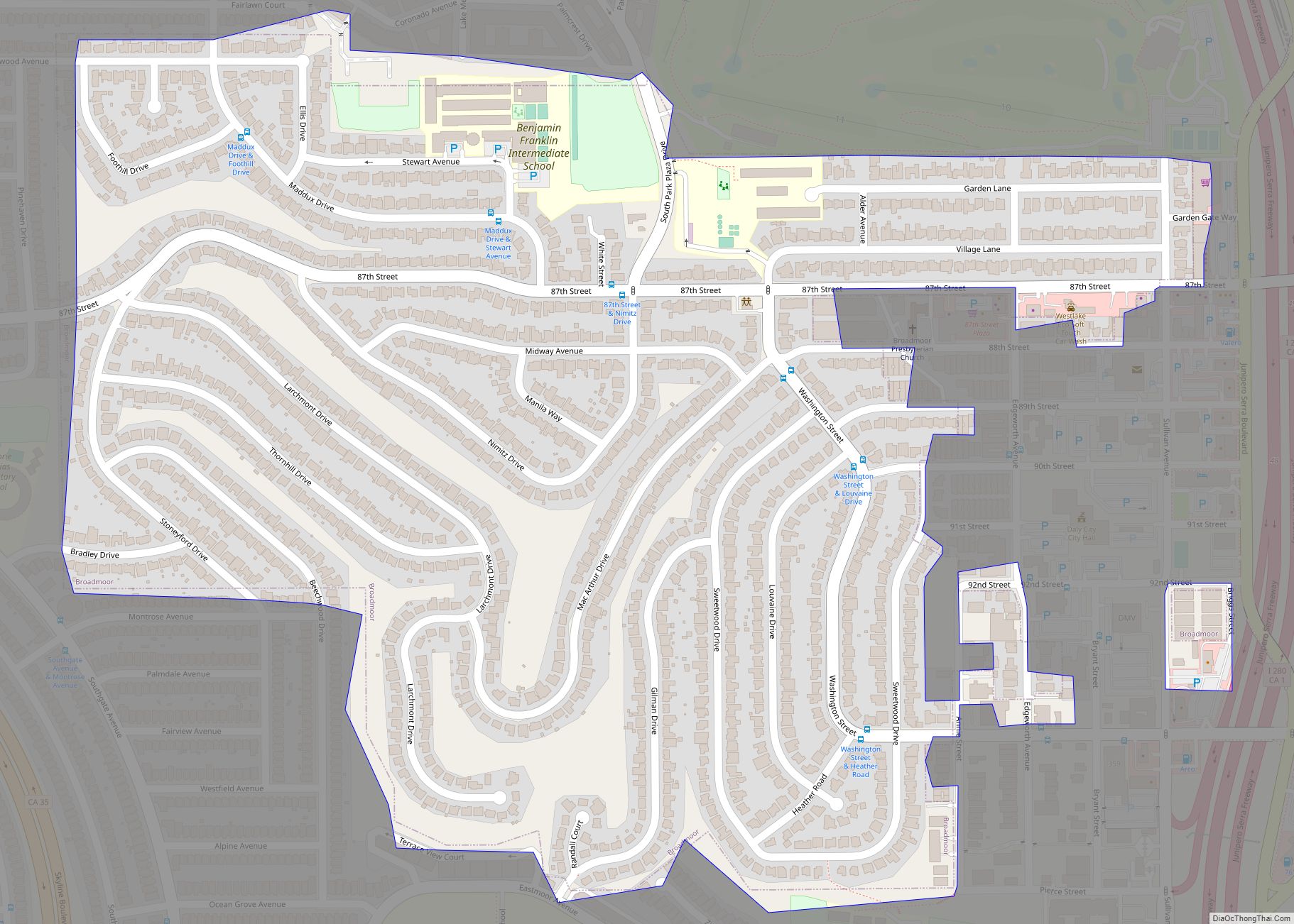
Broadmoor is a census-designated place (CDP) in an unincorporated area of San Mateo County, California, United States. The enclave is entirely surrounded by Daly City. The population was 4,176 at the 2010 census. Broadmoor CDP overview: Name: Broadmoor CDP LSAD Code: 57 LSAD Description: CDP (suffix) State: California County: San Mateo County Elevation: 348 ft (106 m) ... Read more
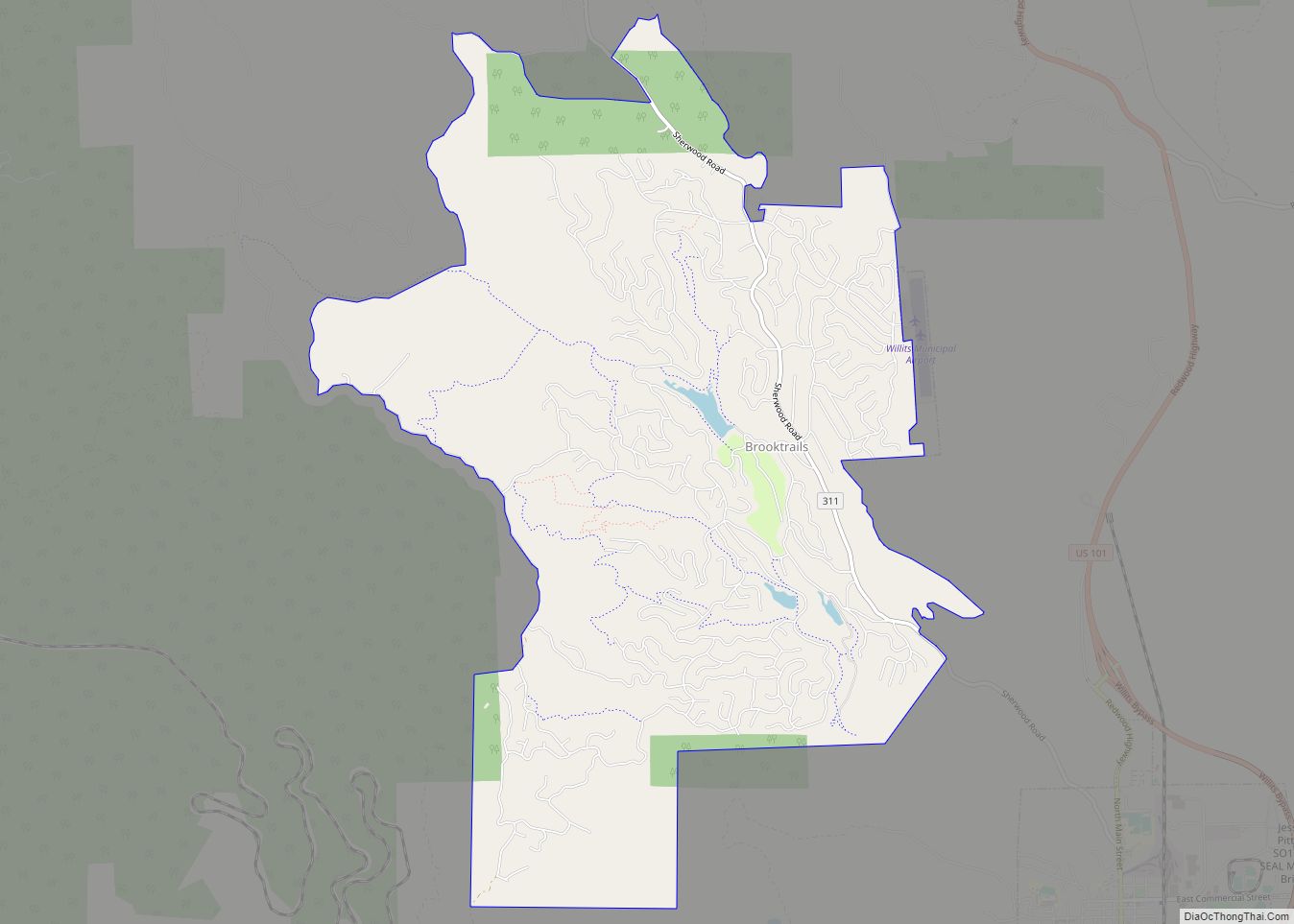
Brooktrails is a census-designated place and unincorporated community in Mendocino County, California, United States. It shares ZIP code 95490 with Willits. The population was 3,632 at the 2020 census. Brooktrails CDP overview: Name: Brooktrails CDP LSAD Code: 57 LSAD Description: CDP (suffix) State: California County: Mendocino County Elevation: 1,634 ft (498 m) Total Area: 7.32 sq mi (19.0 km²) Land ... Read more
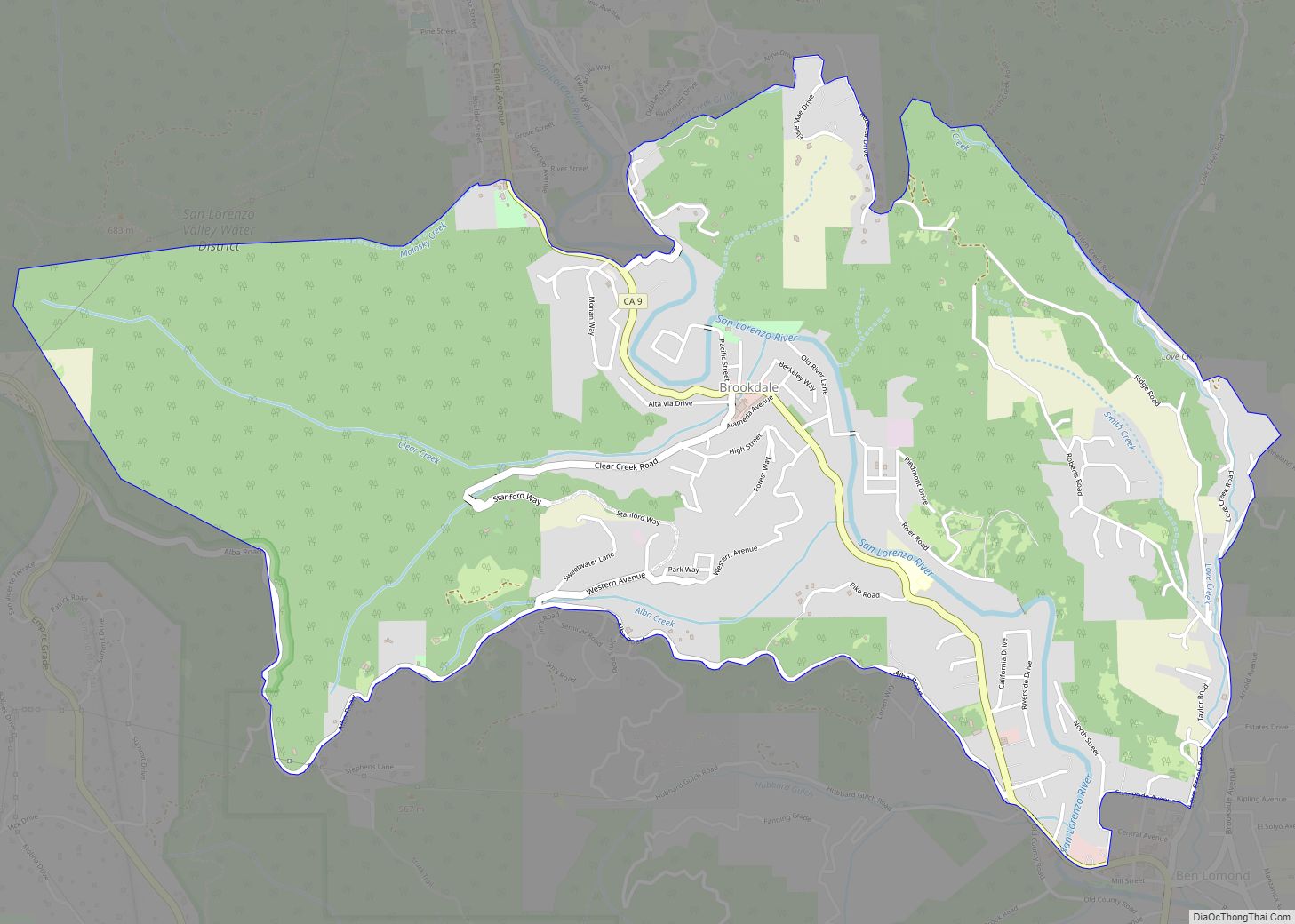
Brookdale is a census-designated place (CDP) in Santa Cruz County, California. Brookdale sits at an elevation of 405 feet (123 m). It is located in the San Lorenzo Valley between Boulder Creek and Ben Lomond on Highway 9. The 2010 United States census reported Brookdale’s population was 1,991. The ZIP Code is 95007 and the community ... Read more
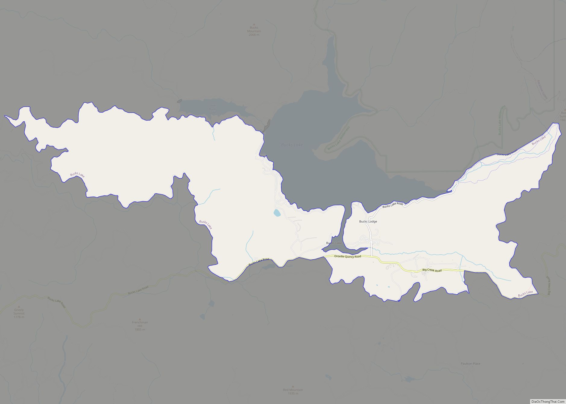
Bucks Lake (also, Bucks Lodge) is a census-designated place (CDP) in Plumas County, California, United States. Bucks Lake is located on the south shore of the lake of the same name, 13 miles (20.9 km) west-southwest of Quincy. The population was 22 at the 2020 census, up from 10 at the 2010 census. Bucks Lake CDP ... Read more
Buckhorn is a census-designated place in Amador County, California. Buckhorn sits at an elevation of 3,238 feet (987 m). The community is in ZIP code 95666 and area code 209. The 2010 United States census reported Buckhorn’s population was 2,429. Buckhorn CDP overview: Name: Buckhorn CDP LSAD Code: 57 LSAD Description: CDP (suffix) State: California ... Read more
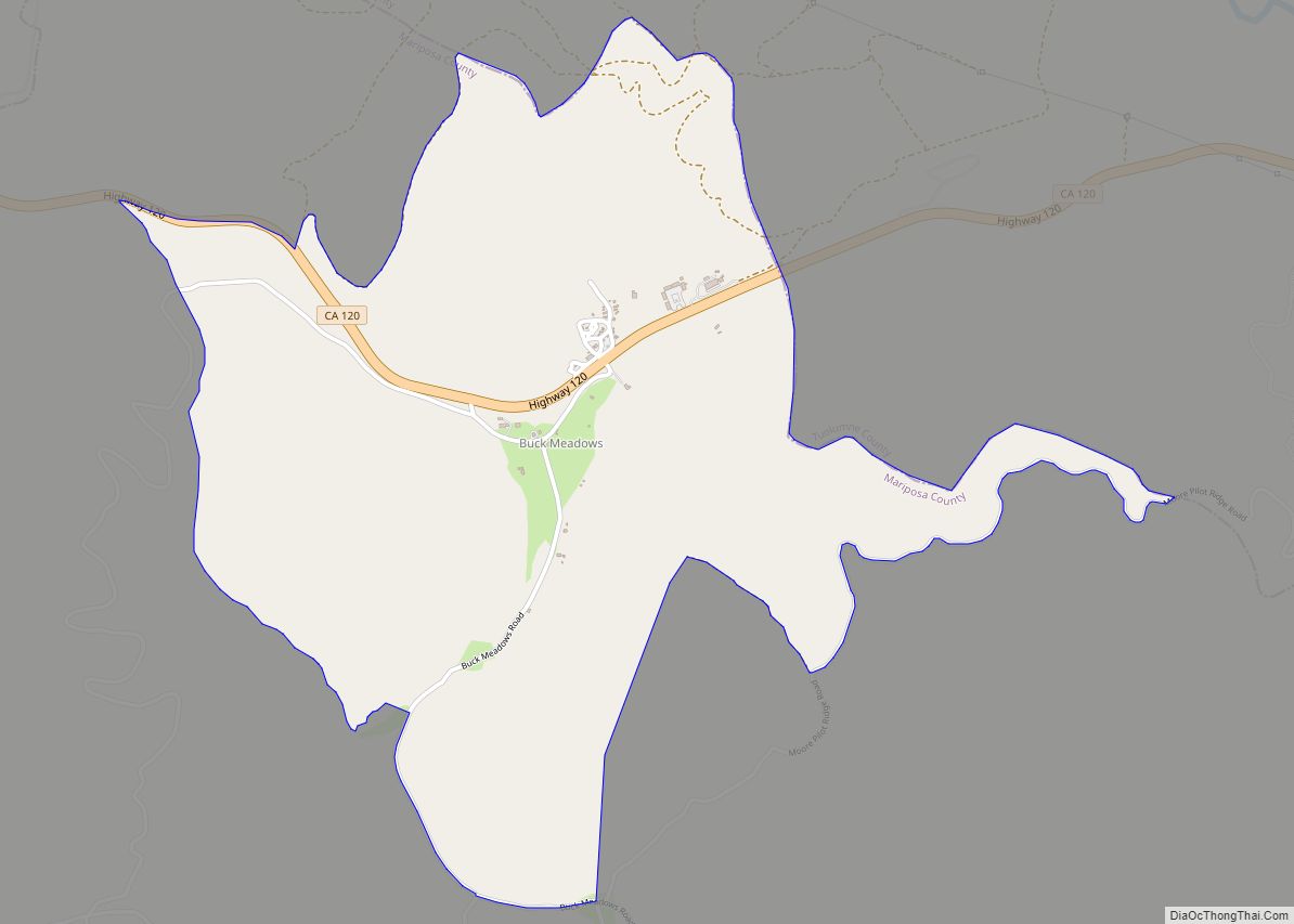
Buck Meadows (formerly Hamilton’s and Hamilton’s Station) is a census-designated place in Mariposa County, California, United States. It is located 2 miles (3 km) east-northeast of Smith Peak, at an elevation of 3,015 feet (919 m). The population was 21 at the 2020 census. Buck Meadows lies just south of the Tuolumne County line. It is on ... Read more
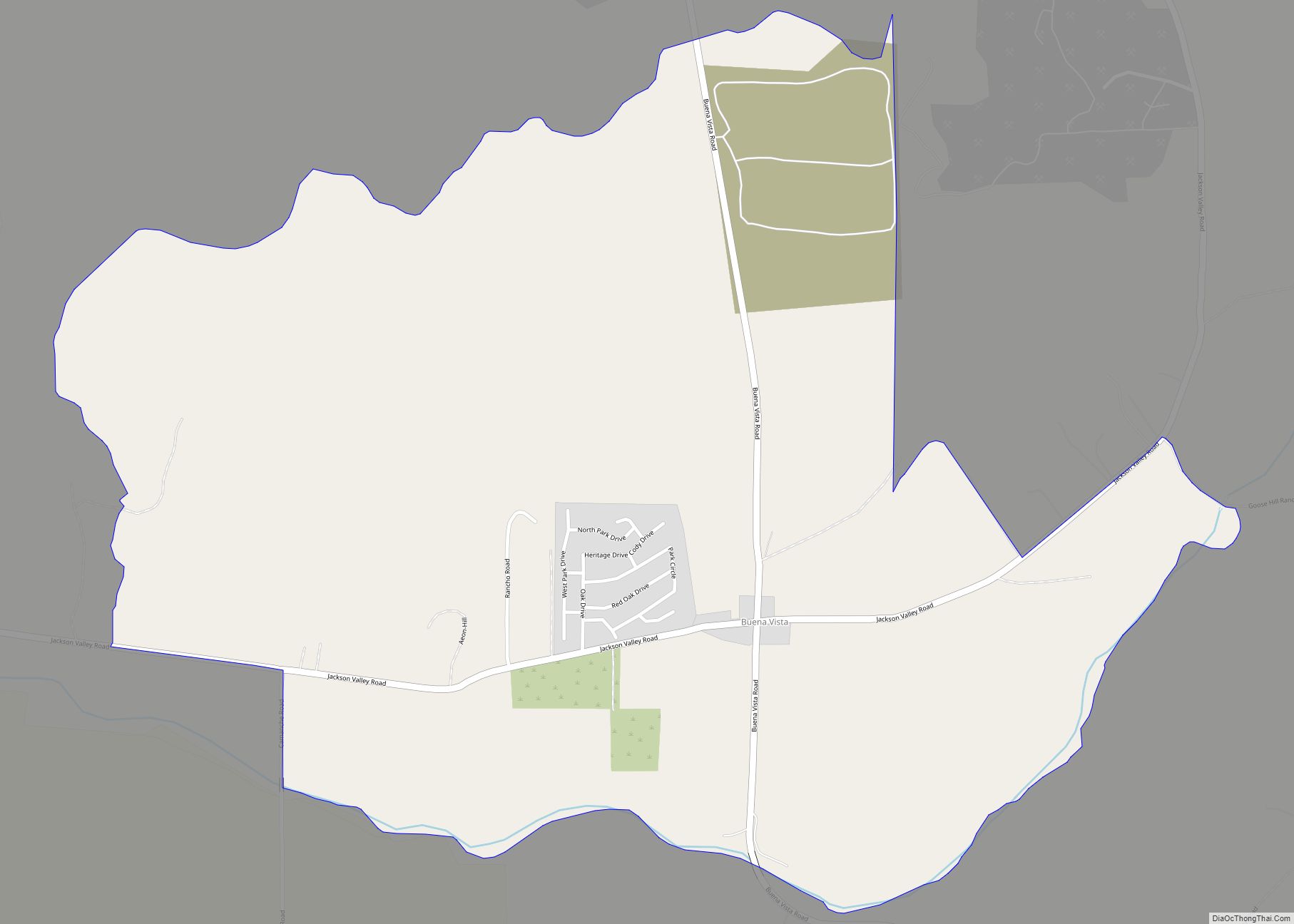
Buena Vista (Spanish for “Good View”) is a census-designated place in Amador County, California. It lies at an elevation of 295 feet (90 m). It is located 4 miles (6.4 km) south-southeast of Ione, at 38°17′40″N 120°54′48″W / 38.29444°N 120.91333°W / 38.29444; -120.91333. The community is in ZIP code 95640 and area code 209. The population ... Read more
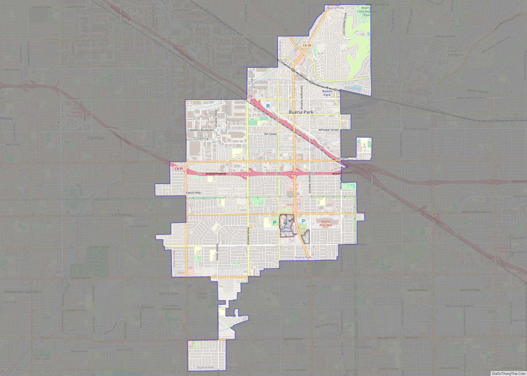
Buena Park (Buena, Spanish for “Good”) is a city in northern Orange County, California, United States. As of the 2020 census its population was 84,034. It is the location of several tourist attractions, namely Knott’s Berry Farm. It is about 12 miles (20 km) northwest of downtown Santa Ana, the county seat, and is within the ... Read more
