Buena Park (Buena, Spanish for “Good”) is a city in northern Orange County, California, United States. As of the 2020 census its population was 84,034. It is the location of several tourist attractions, namely Knott’s Berry Farm. It is about 12 miles (20 km) northwest of downtown Santa Ana, the county seat, and is within the Los Angeles metropolitan area.
| Name: | Buena Park city |
|---|---|
| LSAD Code: | 25 |
| LSAD Description: | city (suffix) |
| State: | California |
| County: | Orange County |
| Founded: | 1887 |
| Incorporated: | January 27, 1953 |
| Elevation: | 75 ft (23 m) |
| Total Area: | 10.55 sq mi (27.34 km²) |
| Land Area: | 10.53 sq mi (27.27 km²) |
| Water Area: | 0.03 sq mi (0.07 km²) 0.28% |
| Total Population: | 84,034 |
| Population Density: | 7,981.19/sq mi (3,081.44/km²) |
| ZIP code: | 90620–90624 |
| Area code: | 714/657,#&562 |
| FIPS code: | 0608786 |
| Website: | www.buenapark.com |
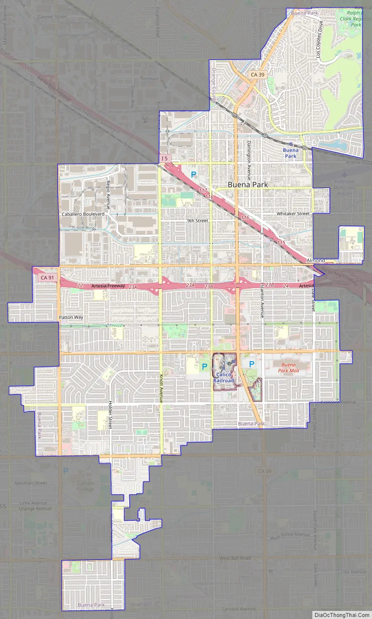
Online Interactive Map
Click on ![]() to view map in "full screen" mode.
to view map in "full screen" mode.
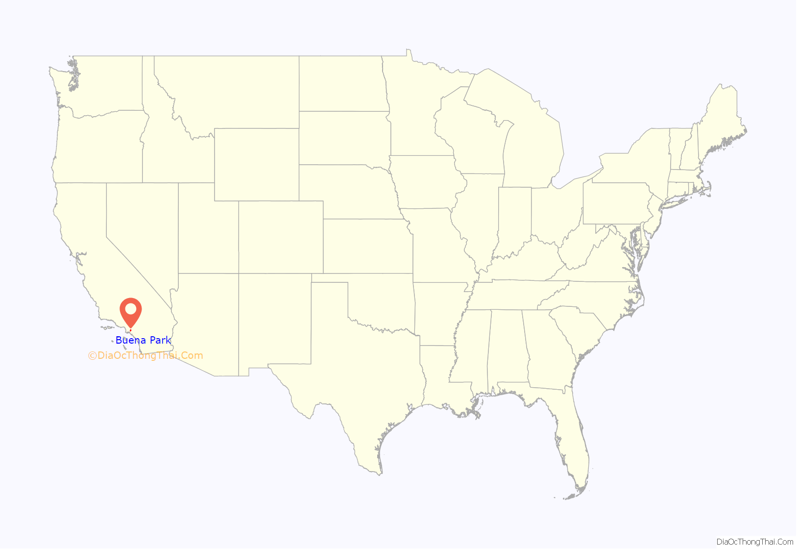
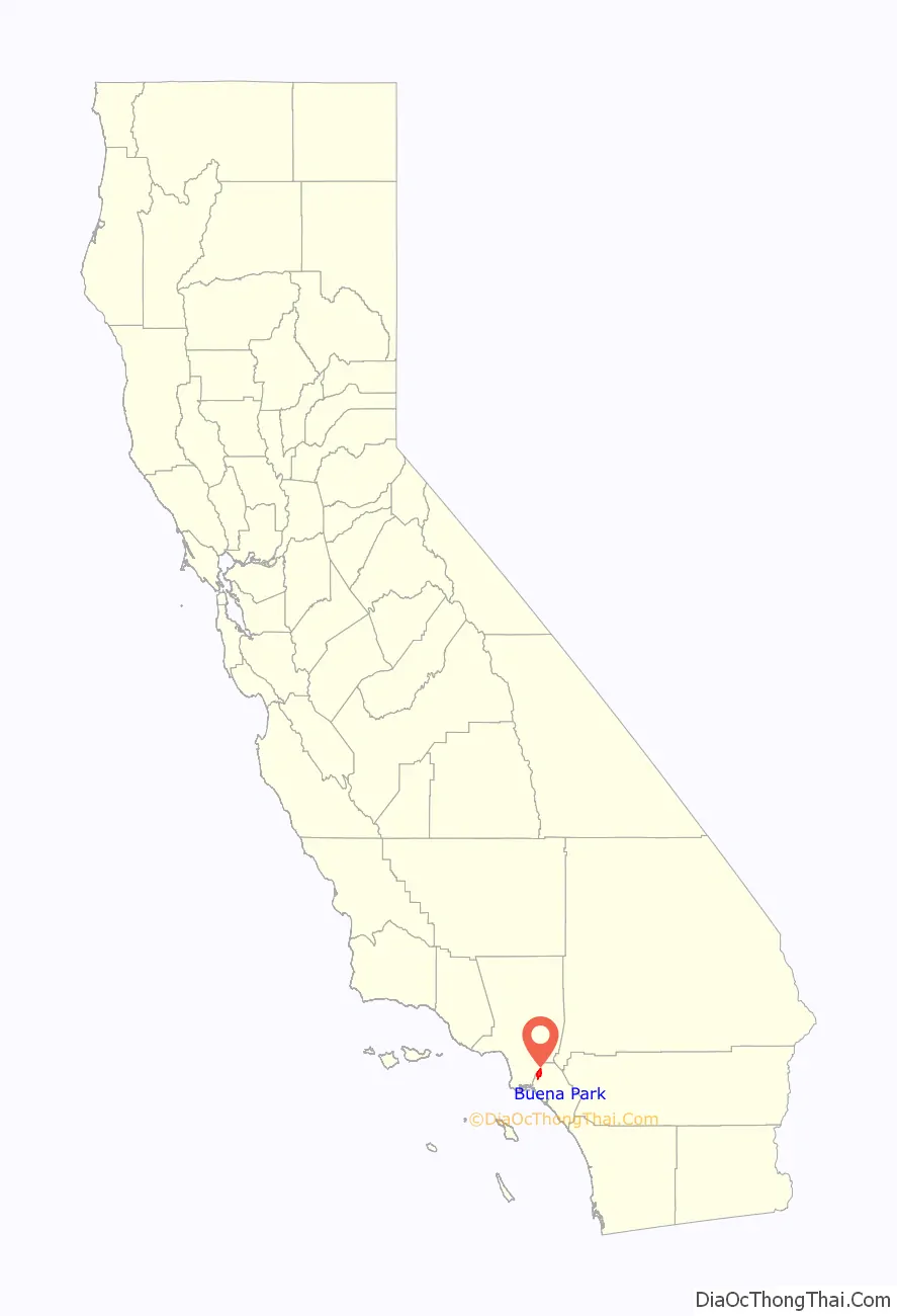
Buena Park location map. Where is Buena Park city?
History
Indigenous
The area of Buena Park was the site of the Tongva village known as Juyubit. The village was located alongside Coyote Creek at the foot of the West Coyote Hills. It was consistently recorded as one of the largest villages in Tovaangar. Being established alongside creeks in a valley, the village prospered. Oak trees provided acorns, while native grasses and sage bushes regularly produced seeds. Rabbit and mule deer were common sources of meat. Juyubit was a center for trade through a series of trails with coastal and mountain villages.
Spanish era
The Spanish established the nearby Mission San Gabriel in 1771. Hundreds of villagers from Juyubit were brought to the mission for conversion to Christianity and to work as laborers on the mission’s grounds. Many of the villagers died quickly, with the high death rate at the mission and three of every four newborns dying before reaching the age of two.
Dissatisfaction with the poor conditions at the missions led to a revolt in 1785-1786 led by Toypurina, a medicine woman. Villagers from Juyubit were involved in the revolt, which did not succeed in ousting the Spanish. A few years after the revolt, a woman from Juyubit, Eulalia María, was baptized at the age of six. She became a godmother to as an adult before her death in 1818.
Spanish settlers began to establish larger settlements on ranchos by land grants made by the King of Spain. Manuel Nieto of the Portolà expeditions received a grant in 1783, which was divided by his heirs into five separate ranchos in 1834. One of them, 46,806-acre (189.42 km) Rancho Los Coyotes, included the current site of the City of Buena Park. The rancho’s adobe headquarters lay on what is now Los Coyotes Country Club’s golf course.
The area was transferred from Spanish authority to Mexican rule in 1822 and ceded to the United States in 1848 at the end of the Mexican–American War. California was granted statehood in 1850.
American era
Americanization further expanded in the area after completion of the transcontinental railroad in 1869 and its connection to Los Angeles in 1875. By then, Abel Stearns had acquired Rancho Los Coyotes in consideration for loans made to Pio and Andrés Pico. In 1885, James A. Whitaker, a wholesale grocer from Chicago, purchased 690 acres (2.8 km) of this land from Stearns. In 1887, Whitaker founded the City of Buena Park in conjunction with the railway development of what we now know as Orange County.
The exact derivation of the name Buena Park is uncertain. One theory is that Whitaker used the name of a Chicago suburb: Buena Park, Chicago, Illinois, although the community in Illinois was also named in 1887. Another theory relates to the artesian well and its park-like grounds once located at the current intersection of what are now Artesia and Beach Boulevards. Local settlers referred to the area as “Plaza Buena” which means “good park” in Spanish.
The city was incorporated on January 27, 1953. An agricultural center when founded (particularly dairy, wine and citrus products), Buena Park is now primarily a residential suburb and commercial hub.
The Murder of Stuart Tay occurred in 1992.
In 2009, the body of swimsuit model and reality TV star Jasmine Fiore was found stuffed in a suitcase and dumped in an apartment building dumpster near the 7400 block of Franklin Street in northern Buena Park by a resident searching for recyclables.
The Source OC retail experience opened in 2017 and is located north of Knott’s Berry Farm.
Buena Park Road Map
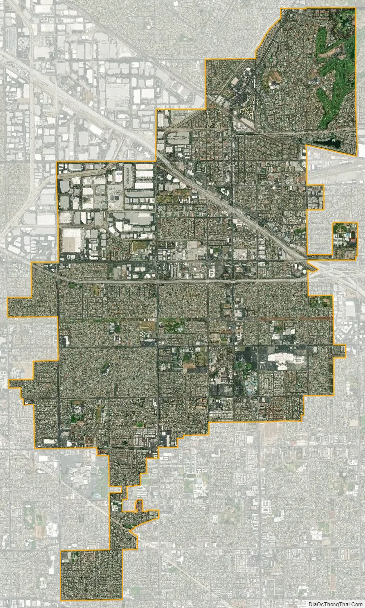
Buena Park city Satellite Map
Geography
According to the United States Census Bureau, the city has a total area of 10.6 square miles (27 km). 10.5 square miles (27 km) of it is land and 0.03 square miles (0.078 km) of it (0.28%) is water. One of the things Buena Park citizens are proud of is that Buena Park is considered the center of the southland.
Buena Park is bisected by State Route 91 into North Buena Park and South Buena Park. It is bordered by Fullerton on the east, Anaheim on the southeast, Cypress on the southwest, Cerritos and La Palma on the west, and La Mirada on the north.
See also
Map of California State and its subdivision:- Alameda
- Alpine
- Amador
- Butte
- Calaveras
- Colusa
- Contra Costa
- Del Norte
- El Dorado
- Fresno
- Glenn
- Humboldt
- Imperial
- Inyo
- Kern
- Kings
- Lake
- Lassen
- Los Angeles
- Madera
- Marin
- Mariposa
- Mendocino
- Merced
- Modoc
- Mono
- Monterey
- Napa
- Nevada
- Orange
- Placer
- Plumas
- Riverside
- Sacramento
- San Benito
- San Bernardino
- San Diego
- San Francisco
- San Joaquin
- San Luis Obispo
- San Mateo
- Santa Barbara
- Santa Clara
- Santa Cruz
- Shasta
- Sierra
- Siskiyou
- Solano
- Sonoma
- Stanislaus
- Sutter
- Tehama
- Trinity
- Tulare
- Tuolumne
- Ventura
- Yolo
- Yuba
- Alabama
- Alaska
- Arizona
- Arkansas
- California
- Colorado
- Connecticut
- Delaware
- District of Columbia
- Florida
- Georgia
- Hawaii
- Idaho
- Illinois
- Indiana
- Iowa
- Kansas
- Kentucky
- Louisiana
- Maine
- Maryland
- Massachusetts
- Michigan
- Minnesota
- Mississippi
- Missouri
- Montana
- Nebraska
- Nevada
- New Hampshire
- New Jersey
- New Mexico
- New York
- North Carolina
- North Dakota
- Ohio
- Oklahoma
- Oregon
- Pennsylvania
- Rhode Island
- South Carolina
- South Dakota
- Tennessee
- Texas
- Utah
- Vermont
- Virginia
- Washington
- West Virginia
- Wisconsin
- Wyoming


