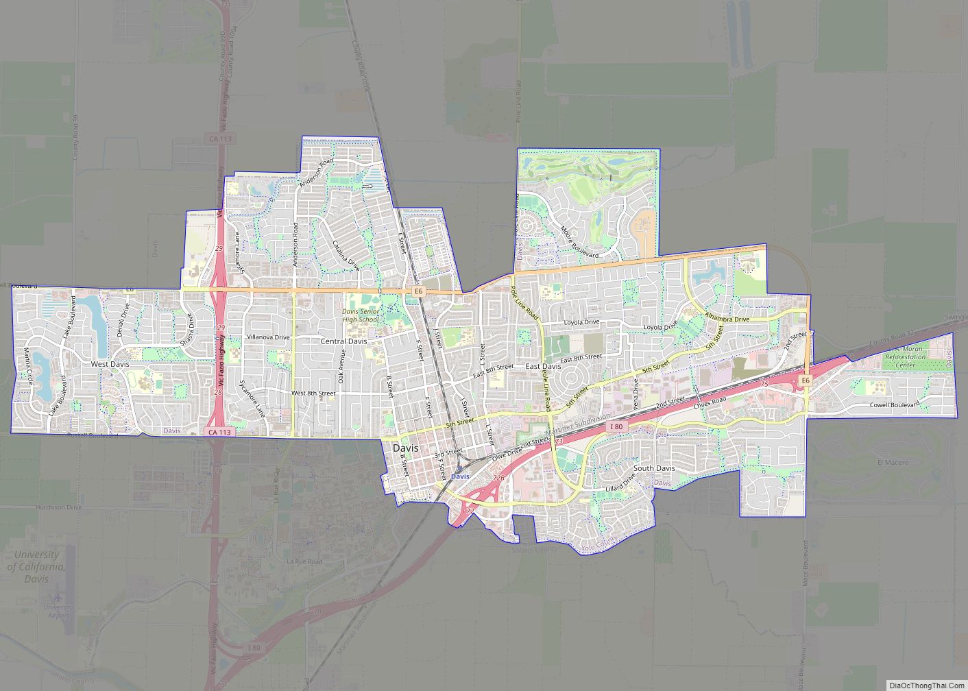
Map of Del Monte Forest CDP

Map of Del Monte Forest CDP

Del Monte Forest (Del Monte, Spanish for “of the mountain”) is a census-designated place (CDP) in Monterey County, California. As of the 2020 census, the CDP had a total population of 4,204, down from 4,514 at the 2010 census. The census area includes the separate well-known community of Pebble Beach. The Del Monte Forest is … Read more

Map of Del Mar city

Map of Del Mar city

Del Mar (Spanish pronunciation: [del ˈmaɾ]; Spanish for “Of the Sea”) is a beach town in San Diego County, California, located on the coast of the Pacific Ocean. Established in 1885 as a seaside resort, the city incorporated in 1959. The Del Mar Horse Races are hosted on the Del Mar racetrack every summer. In 1885, … Read more

Map of Del Aire CDP

Map of Del Aire CDP

Del Aire (pronunciation) (Spanish for “Of The Air”) is a census-designated place (CDP) in the inland South Bay, Los Angeles County, California, United States, between El Segundo and Hawthorne. The population was 10,001 at the 2010 census, up from 9,012 at the 2000 census. Del Aire is a small unincorporated residential neighborhood next to the … Read more

Map of Del Rio CDP

Map of Del Rio CDP, California

Del Rio (Spanish: Del Río, meaning “Of The River”) is a census-designated place (CDP) in Stanislaus County, California, United States that is located around the Del Rio Country Club. The population was 1,270 at the 2010 census, up from 1,168 at the 2000 census. It is part of the Modesto Metropolitan Statistical Area. Del Rio … Read more

Map of Del Rey CDP

Map of Del Rey CDP

Del Rey (Spanish for “of the King”) is a census-designated place (CDP) in Fresno County, California, United States. The population was 1,639 at the 2010 census, up from 950 at the 2000 census. Del Rey is located 3.5 miles (5.6 km) south-southwest of Sanger, at an elevation of 344 (105 m). Del Rey CDP overview: Name: … Read more

Map of Del Rey Oaks city

Map of Del Rey Oaks city

Del Rey Oaks (Del Rey, Spanish for “Of the King”) is a city in Monterey County, California, United States. It is located just southeast of Seaside, at an elevation of 82 feet (25 m). The population was 1,592 at the 2020 census. Del Rey Oaks is a member of the Association of Monterey Bay Area Governments, … Read more

Map of Delhi CDP

Map of Delhi CDP, California

Delhi (/ˈdɛlhaɪ/ DEL-hye) is a census-designated place (CDP) in Merced County in the U.S. state of California. Delhi is 18 miles (29 km) west-northwest of Merced, at an elevation of 118 feet (36 m). According to the 2020 census, the population was 10,656. Delhi CDP overview: Name: Delhi CDP LSAD Code: 57 LSAD Description: CDP (suffix) State: … Read more

Map of Delft Colony CDP

Map of Delft Colony CDP

Delft Colony is a census-designated place (CDP) in Tulare County, California. Delft Colony sits at an elevation of 312 feet (95 m). The 2010 United States census reported Delft Colony’s population was 454. Delft Colony CDP overview: Name: Delft Colony CDP LSAD Code: 57 LSAD Description: CDP (suffix) State: California County: Tulare County Elevation: 312 ft (95 m) … Read more

Map of Delano city

Map of Delano city, California

Delano (/dəˈleɪnoʊ/ də-LAY-noh) is a city in Kern County, California, United States. Delano is located 31 miles (50 km) north-northwest of Bakersfield at an elevation of 315 feet (96 m). The population was 51,428 in 2020, down from 53,041 in 2010. It is Kern County’s second-largest city after Bakersfield. Agriculture is Delano’s major industry. The area is … Read more

Map of Derby Acres CDP

Map of Derby Acres CDP

Derby Acres is a census-designated place (CDP) in Kern County, California, United States. Derby Acres is located 5.5 miles (8.9 km) north-northwest of Fellows, at an elevation of 1,375 feet (419 m). The population was 322 at the 2010 census, down from 376 at the 2000 census. The town is on State Route 33 at the northern … Read more

Map of Denair CDP

Map of Denair CDP

Denair is a census-designated place (CDP) in Stanislaus County, California, United States. The population was 4,404 at the 2010 census, up from 3,446 at the 2000 census. It is part of the Modesto Metropolitan Statistical Area. Denair CDP overview: Name: Denair CDP LSAD Code: 57 LSAD Description: CDP (suffix) State: California County: Stanislaus County Elevation: … Read more

Map of Delleker CDP

Map of Delleker CDP

Delleker is a census-designated place (CDP) in Plumas County, California, USA. The population was 705 at the 2010 census, up from 674 at the 2000 census. Delleker CDP overview: Name: Delleker CDP LSAD Code: 57 LSAD Description: CDP (suffix) State: California County: Plumas County Elevation: 4,885 ft (1,489 m) Total Area: 2.77 sq mi (7.17 km²) Land Area: 2.77 sq mi (7.16 km²) … Read more