Denair is a census-designated place (CDP) in Stanislaus County, California, United States. The population was 4,404 at the 2010 census, up from 3,446 at the 2000 census. It is part of the Modesto Metropolitan Statistical Area.
| Name: | Denair CDP |
|---|---|
| LSAD Code: | 57 |
| LSAD Description: | CDP (suffix) |
| State: | California |
| County: | Stanislaus County |
| Elevation: | 125 ft (38 m) |
| Total Area: | 1.64 sq mi (4.25 km²) |
| Land Area: | 1.64 sq mi (4.25 km²) |
| Water Area: | 0.00 sq mi (0.00 km²) 0% |
| Total Population: | 4,865 |
| Population Density: | 2,962.85/sq mi (1,143.88/km²) |
| ZIP code: | 95316 |
| Area code: | 209 |
| FIPS code: | 0618856 |
| GNISfeature ID: | 1655964 |
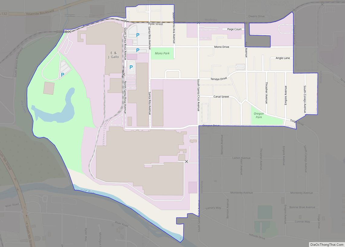
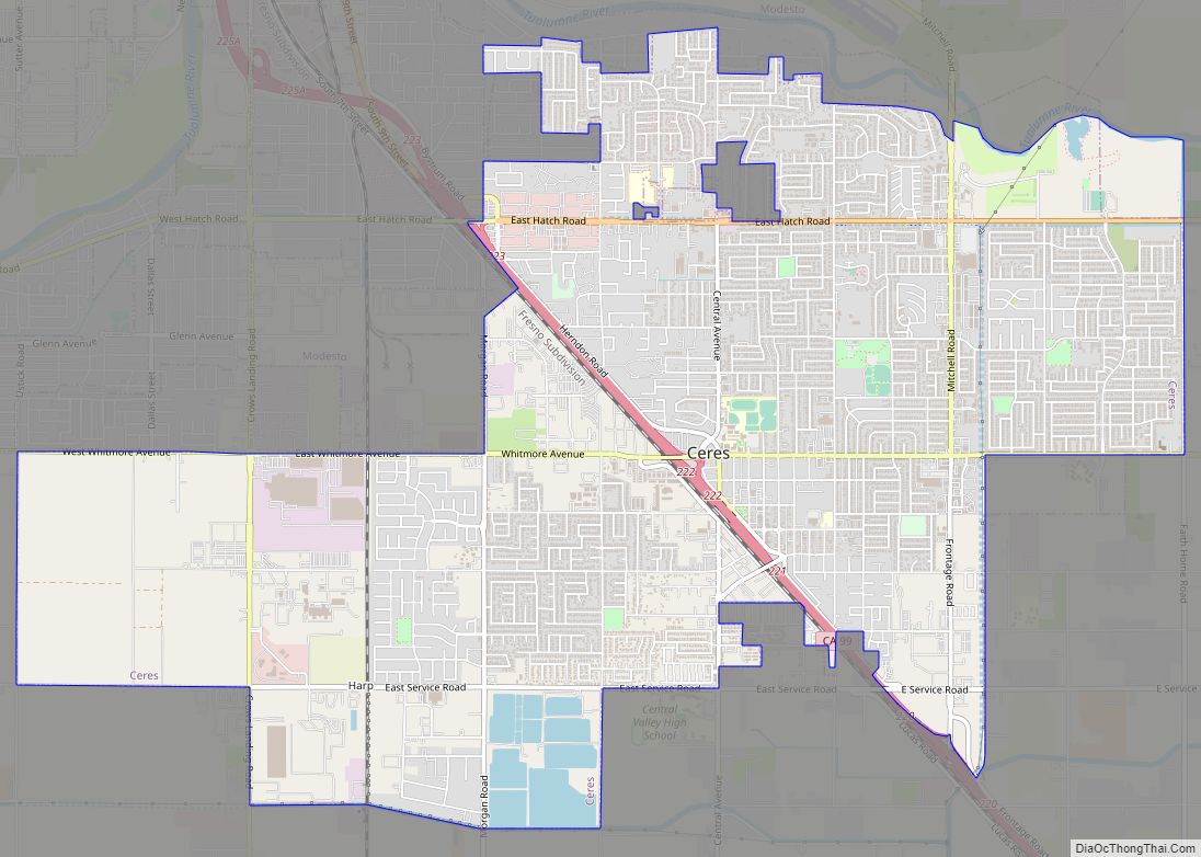
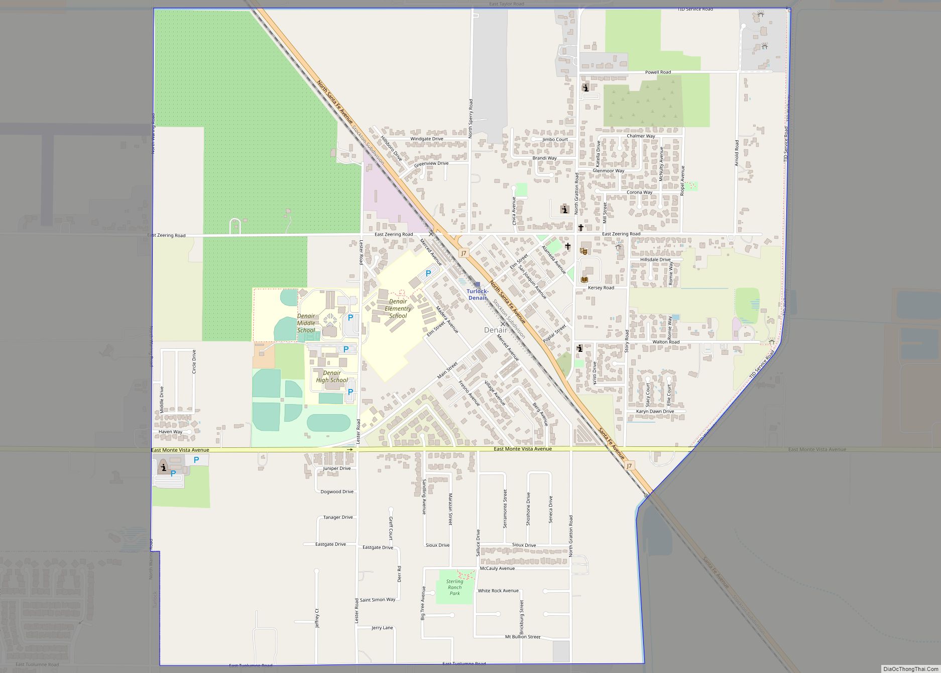
Online Interactive Map
Click on ![]() to view map in "full screen" mode.
to view map in "full screen" mode.
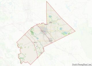
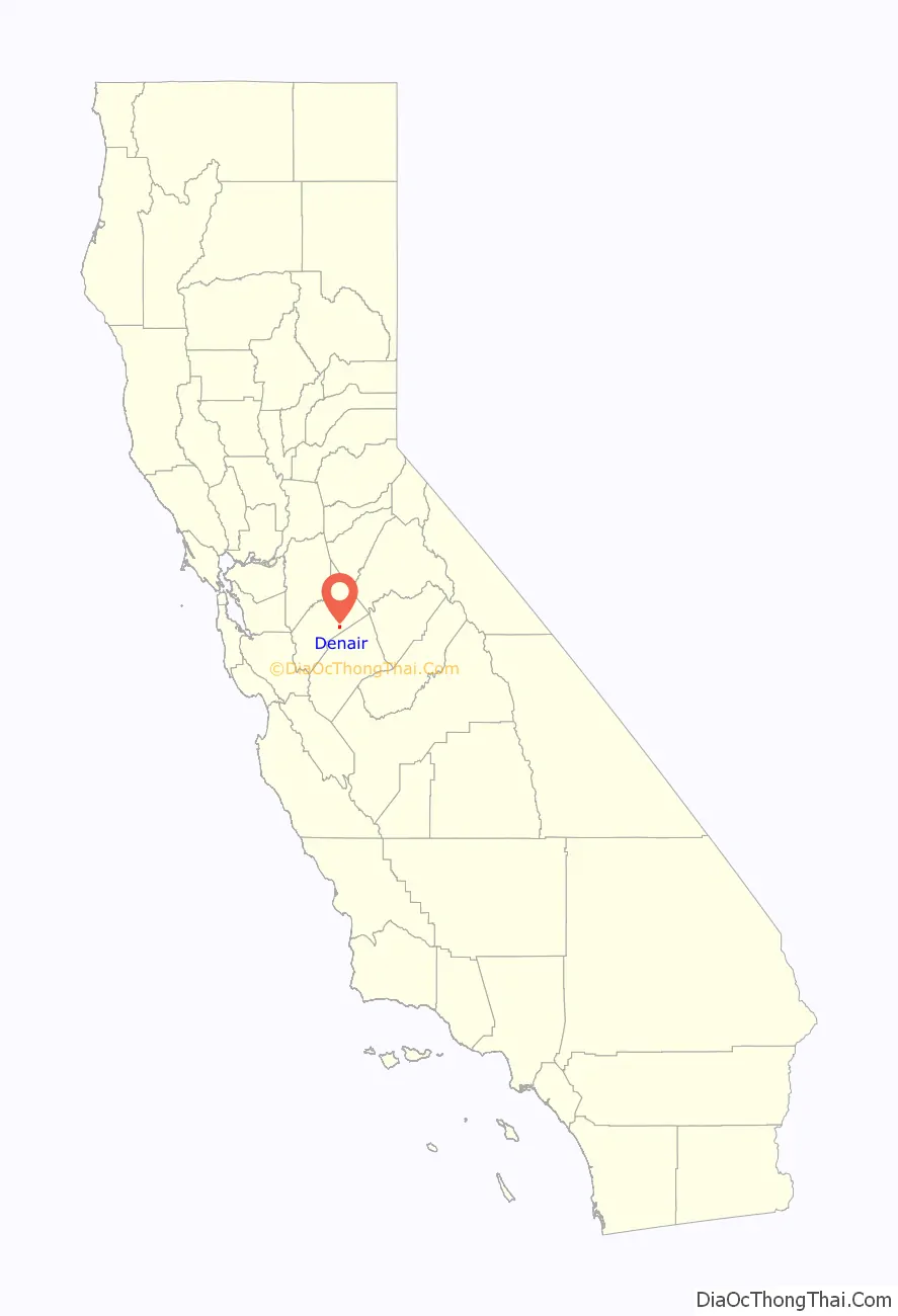
Denair location map. Where is Denair CDP?

History
Denair was established in 1904, along the Santa Fe Railroad (once the Valley Division) tracks. The town was renamed from Elmwood Colony to Denair in honor of a local landowner, John Denair.
Denair Road Map
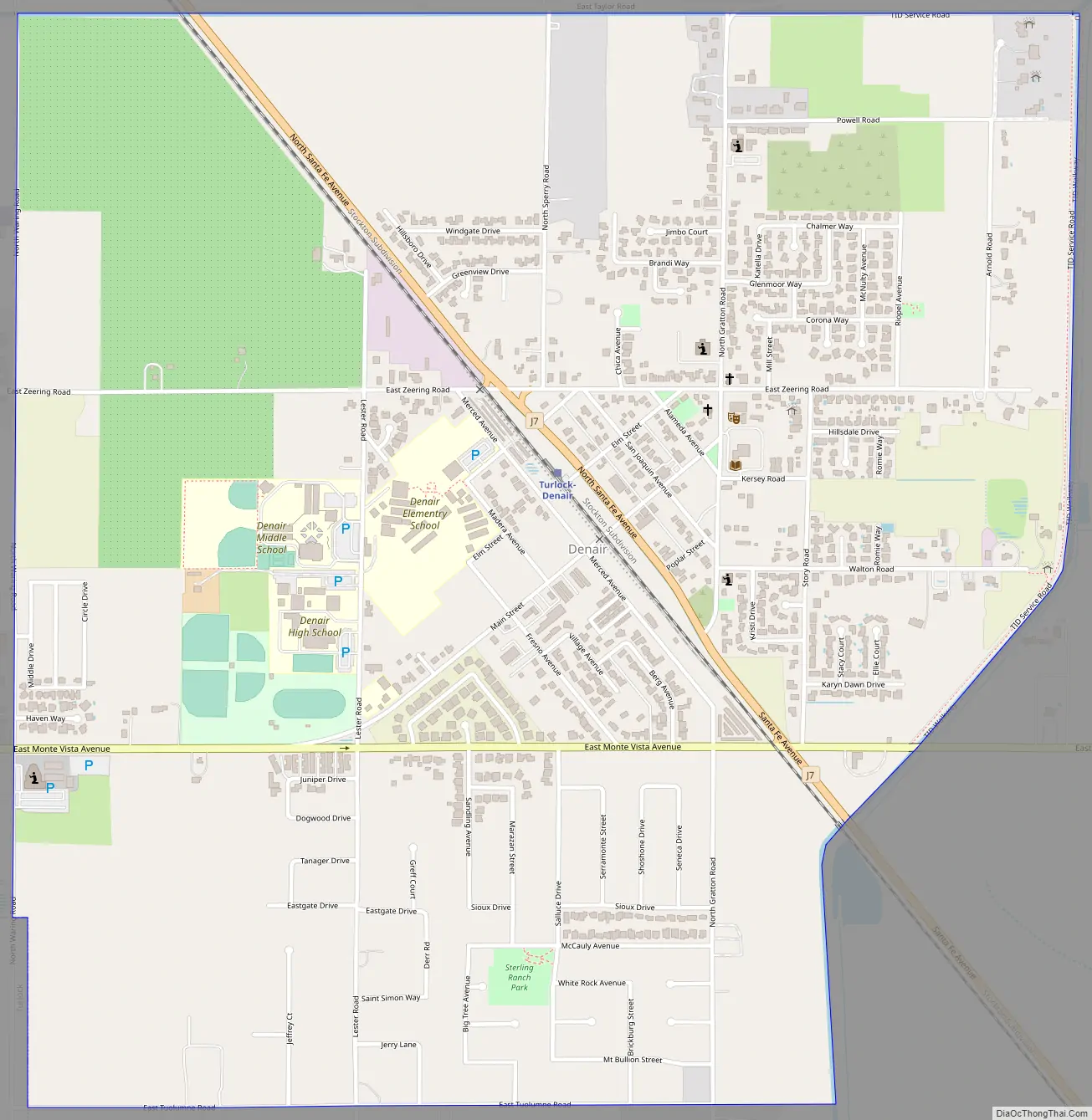
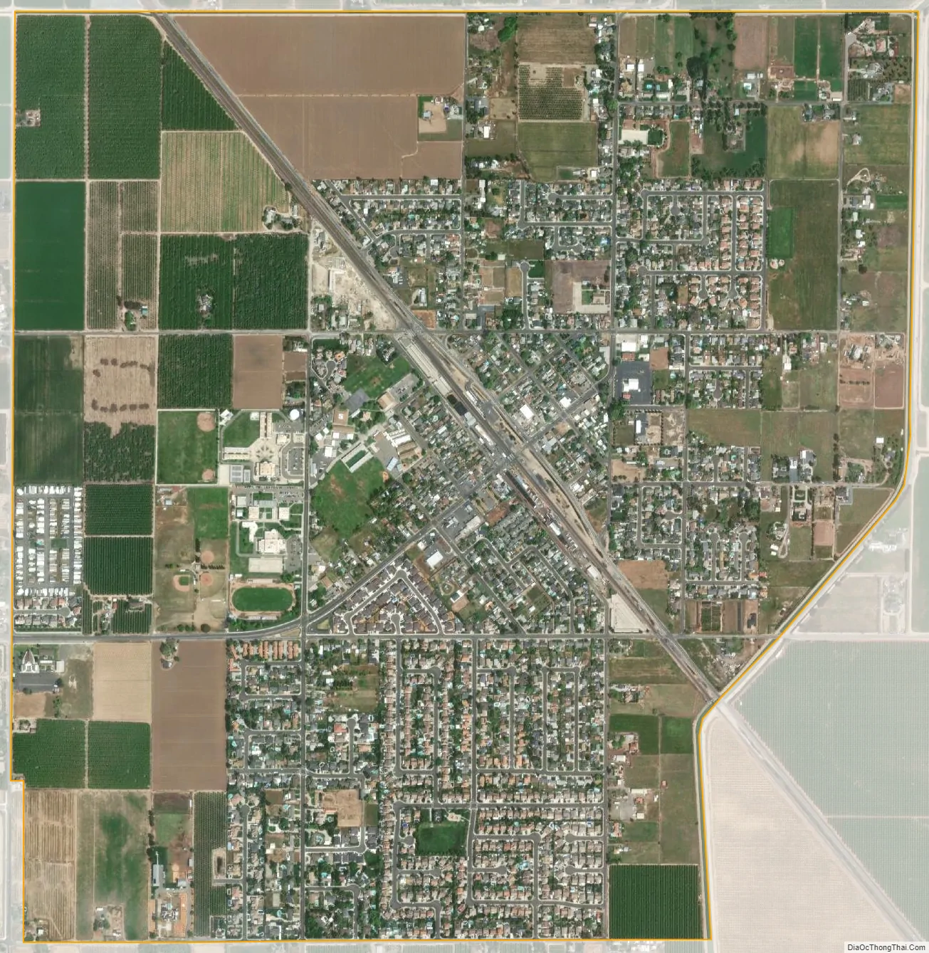
Denair city Satellite Map
Geography
Denair is located at 37°31′39″N 120°47′59″W / 37.52750°N 120.79972°W / 37.52750; -120.79972 (37.527532, -120.799813).
According to the United States Census Bureau, the CDP has a total area of 2.0 square miles (5.2 km), all of it land.
Climate
Newman has a semi-arid climate with Mediterranean influences, characterized by hot, dry summers and cool winters.
See also
Map of California State and its subdivision:- Alameda
- Alpine
- Amador
- Butte
- Calaveras
- Colusa
- Contra Costa
- Del Norte
- El Dorado
- Fresno
- Glenn
- Humboldt
- Imperial
- Inyo
- Kern
- Kings
- Lake
- Lassen
- Los Angeles
- Madera
- Marin
- Mariposa
- Mendocino
- Merced
- Modoc
- Mono
- Monterey
- Napa
- Nevada
- Orange
- Placer
- Plumas
- Riverside
- Sacramento
- San Benito
- San Bernardino
- San Diego
- San Francisco
- San Joaquin
- San Luis Obispo
- San Mateo
- Santa Barbara
- Santa Clara
- Santa Cruz
- Shasta
- Sierra
- Siskiyou
- Solano
- Sonoma
- Stanislaus
- Sutter
- Tehama
- Trinity
- Tulare
- Tuolumne
- Ventura
- Yolo
- Yuba
- Alabama
- Alaska
- Arizona
- Arkansas
- California
- Colorado
- Connecticut
- Delaware
- District of Columbia
- Florida
- Georgia
- Hawaii
- Idaho
- Illinois
- Indiana
- Iowa
- Kansas
- Kentucky
- Louisiana
- Maine
- Maryland
- Massachusetts
- Michigan
- Minnesota
- Mississippi
- Missouri
- Montana
- Nebraska
- Nevada
- New Hampshire
- New Jersey
- New Mexico
- New York
- North Carolina
- North Dakota
- Ohio
- Oklahoma
- Oregon
- Pennsylvania
- Rhode Island
- South Carolina
- South Dakota
- Tennessee
- Texas
- Utah
- Vermont
- Virginia
- Washington
- West Virginia
- Wisconsin
- Wyoming