Delano (/dəˈleɪnoʊ/ də-LAY-noh) is a city in Kern County, California, United States. Delano is located 31 miles (50 km) north-northwest of Bakersfield at an elevation of 315 feet (96 m). The population was 51,428 in 2020, down from 53,041 in 2010. It is Kern County’s second-largest city after Bakersfield.
Agriculture is Delano’s major industry. The area is particularly well known as a center for the growing of table grapes. Delano is also home to two California state prisons, North Kern State Prison and Kern Valley State Prison. The Voice of America once operated one of its largest, most powerful shortwave broadcast facilities at a station outside Delano at 35°45′15″N 119°17′7″W / 35.75417°N 119.28528°W / 35.75417; -119.28528. The Voice of America ceased broadcasts in October 2007, citing a changing political mission, reduced budgets, and changes in technology.
Delano’s two school districts currently operate eight elementary schools, three middle schools, three comprehensive high schools and two alternative high schools. The city has its own police department and contracts with the Kern County Fire Department for fire services, EMS services are privately provided by local company, Delano Ambulance Service.
| Name: | Delano city |
|---|---|
| LSAD Code: | 25 |
| LSAD Description: | city (suffix) |
| State: | California |
| County: | Kern County |
| Founded: | 1873 |
| Incorporated: | April 13, 1915 |
| Elevation: | 315 ft (96 m) |
| Total Area: | 14.77 sq mi (38.25 km²) |
| Land Area: | 14.72 sq mi (38.11 km²) |
| Water Area: | 0.05 sq mi (0.14 km²) 0.35% |
| Total Population: | 51,428 |
| Population Density: | 3,494.70/sq mi (1,349.29/km²) |
| ZIP code: | 93215, 93216 |
| Area code: | 661 |
| FIPS code: | 0618394 |
| Website: | www.cityofdelano.org |
Online Interactive Map
Click on ![]() to view map in "full screen" mode.
to view map in "full screen" mode.
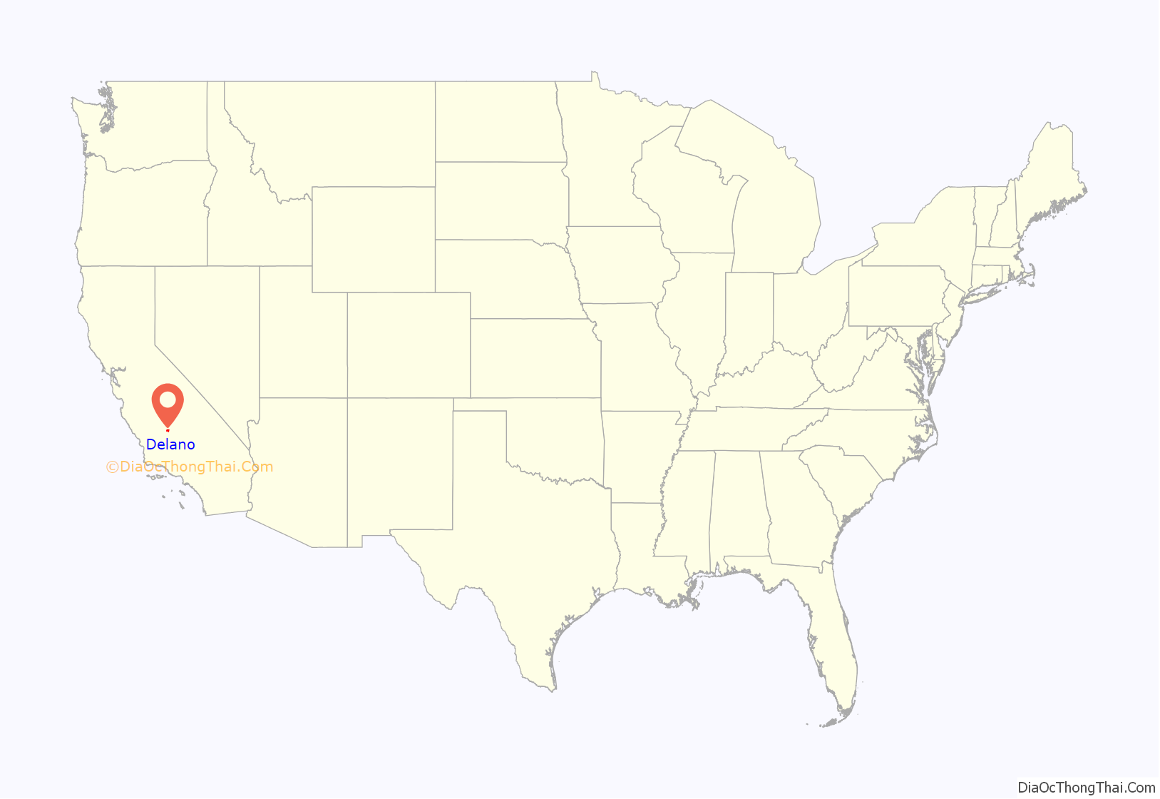
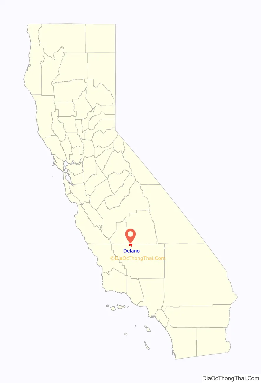
Delano location map. Where is Delano city?
History
Delano was founded on July 14, 1869, as a railroad town, not because the railroad passed through the town but because the railroad coming south from San Francisco terminated at Delano. The name was officially given by the Southern Pacific Railroad in honor of Columbus Delano, at the time the Secretary of the Interior (1870-1875) for the United States. The first post office opened in 1874. Delano incorporated in 1913.
The town started with a boom. With Delano as the southern terminus of the railroad, it became the headquarters for hundreds of workmen who were building the railroad into town, and who eventually built the railroad into Bakersfield the following year. Meanwhile, the merchandise that formerly was trucked south from Visalia to Bakersfield and then to Walker Pass, or perhaps Tejon Pass, en route to Los Angeles, now coming via freight from the south, east and west, was likewise trucked in by ox or mule team. Great loads of bullion were delivered here from the mines in the mountains. Delano became the northern terminus for the passenger stages that ran south to Bakersfield and Los Angeles. The fare from Bakersfield to Delano was $7.00.
Delano was a major hub of farm worker organization efforts and Chicano political movements. Filipino immigrants Philip Vera Cruz and Larry Dulay Itliong were instrumental in shaping the direction of farm worker movement in the 1950s.
On September 8, 1965, Larry Itliong and other Filipino leaders led the predominantly Filipino Agricultural Workers Organizing Committee (AWOC) in a “walk off” from table grape farms, now known as the Delano grape strike. The strikers’ goal was to improve farm workers’ wages and working conditions. The National Farm Workers’ Association (NFWA), a largely Hispanic union led by Cesar Chavez, joined the strike within a week. During the strike, the two groups joined forces and formed the United Farm Workers of America (UFW). By 1970, the UFW won a contract with major grape growers across California.
Delano Road Map

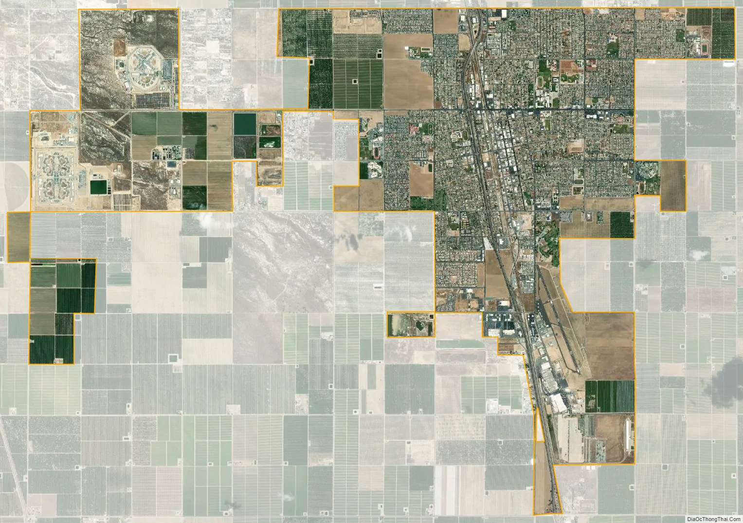
Delano city Satellite Map
Geography
According to the United States Census Bureau, the city has a total area of 14.4 square miles (37 km); over 99% of which is land.
Climate
Delano’s climate is typical of the San Joaquin Valley. It is located within a desert climatic zone with Mediterranean features. The city receives 7.51 in (191 mm) of rainfall annually, mainly in the winter. The weather is hot and dry during the summer and cool and damp in winter. Frequent winter ground fog known regionally as tule fog can obscure vision. Record temperatures range between 115 °F (46 °C) (2006) and 14 °F (−10 °C) (1990).
See also
Map of California State and its subdivision:- Alameda
- Alpine
- Amador
- Butte
- Calaveras
- Colusa
- Contra Costa
- Del Norte
- El Dorado
- Fresno
- Glenn
- Humboldt
- Imperial
- Inyo
- Kern
- Kings
- Lake
- Lassen
- Los Angeles
- Madera
- Marin
- Mariposa
- Mendocino
- Merced
- Modoc
- Mono
- Monterey
- Napa
- Nevada
- Orange
- Placer
- Plumas
- Riverside
- Sacramento
- San Benito
- San Bernardino
- San Diego
- San Francisco
- San Joaquin
- San Luis Obispo
- San Mateo
- Santa Barbara
- Santa Clara
- Santa Cruz
- Shasta
- Sierra
- Siskiyou
- Solano
- Sonoma
- Stanislaus
- Sutter
- Tehama
- Trinity
- Tulare
- Tuolumne
- Ventura
- Yolo
- Yuba
- Alabama
- Alaska
- Arizona
- Arkansas
- California
- Colorado
- Connecticut
- Delaware
- District of Columbia
- Florida
- Georgia
- Hawaii
- Idaho
- Illinois
- Indiana
- Iowa
- Kansas
- Kentucky
- Louisiana
- Maine
- Maryland
- Massachusetts
- Michigan
- Minnesota
- Mississippi
- Missouri
- Montana
- Nebraska
- Nevada
- New Hampshire
- New Jersey
- New Mexico
- New York
- North Carolina
- North Dakota
- Ohio
- Oklahoma
- Oregon
- Pennsylvania
- Rhode Island
- South Carolina
- South Dakota
- Tennessee
- Texas
- Utah
- Vermont
- Virginia
- Washington
- West Virginia
- Wisconsin
- Wyoming


