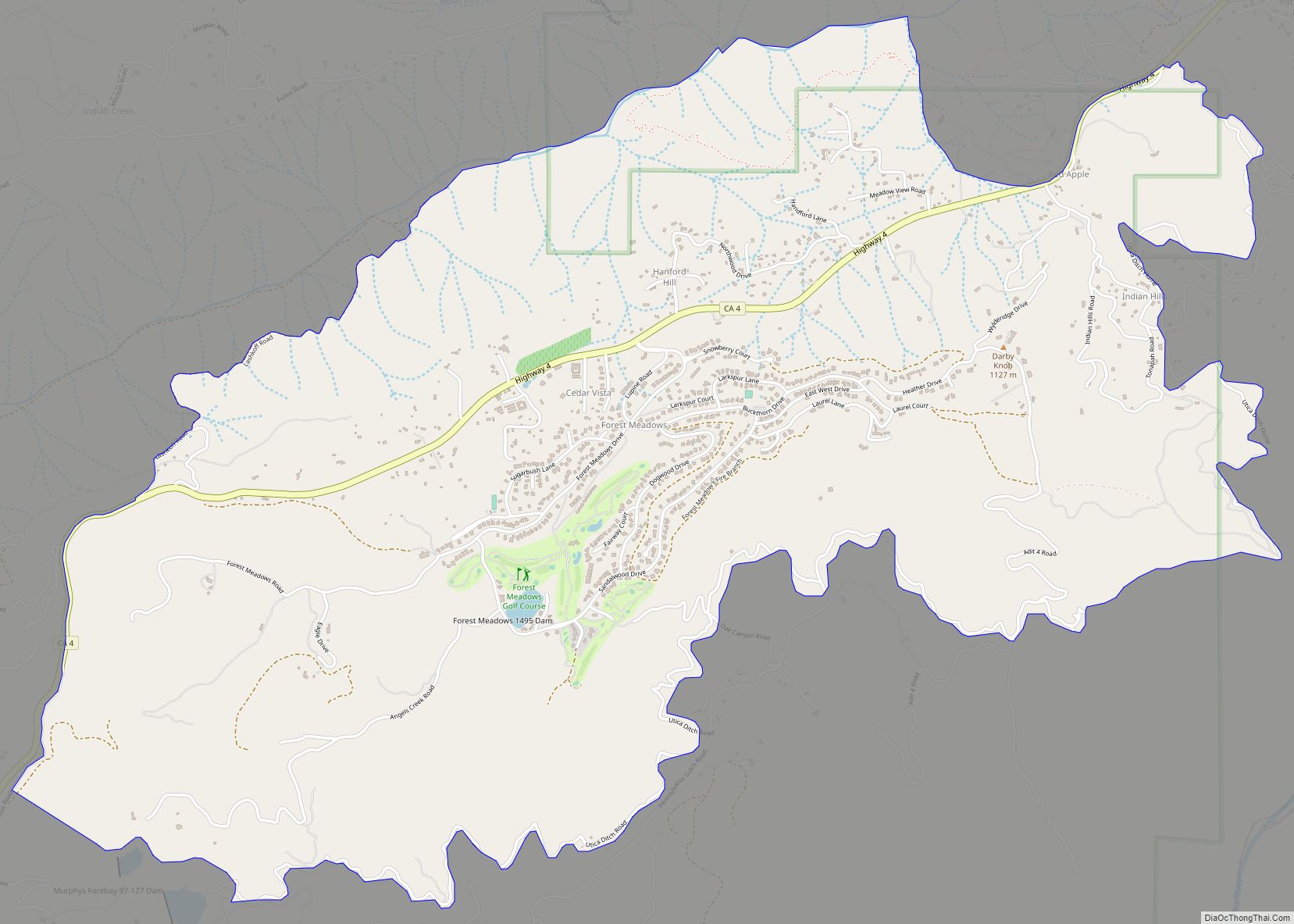
Forest Meadows is a census-designated place (CDP) in Calaveras County, California, United States. The population was 1,249 at the 2010 census, up from 1,197 at the 2000 census. Forest Meadows CDP overview: Name: Forest Meadows CDP LSAD Code: 57 LSAD Description: CDP (suffix) State: California County: Calaveras County Elevation: 3,376 ft (1,029 m) Total Area: 5.655 sq mi (14.647 km²) ... Read more
California Cities and Places
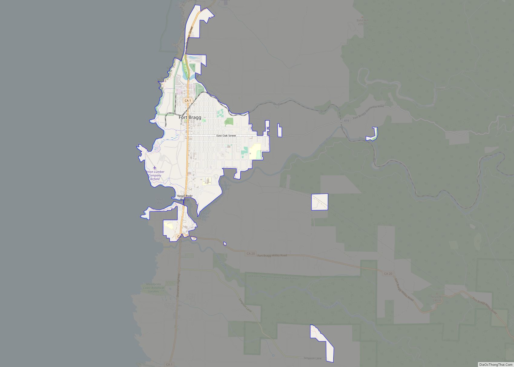
Fort Bragg, officially the City of Fort Bragg, is a city along the Pacific Coast of California along Shoreline Highway in Mendocino County. The city is 24 miles (39 km) west of Willits, at an elevation of 85 feet (26 m). Its population was 6,983 at the 2020 census. Fort Bragg is a tourist destination because of ... Read more
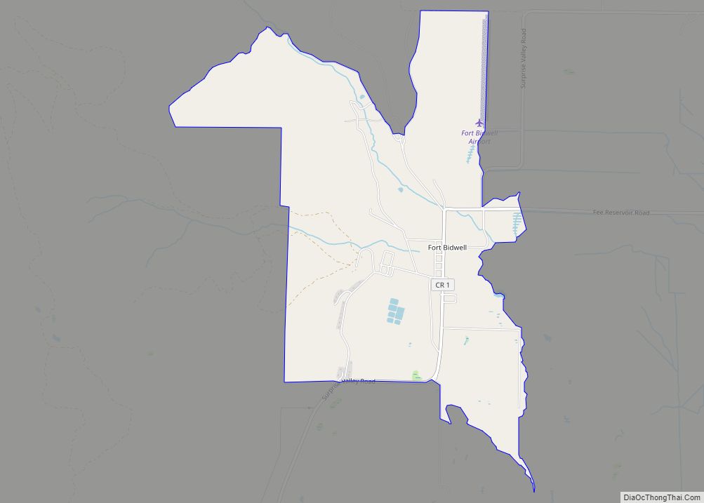
Fort Bidwell is a census-designated place in Modoc County, California. It is located 32 miles (51 km) northeast of Alturas, at an elevation of 4564 feet (1391 m). Its population is 180 as of the 2020 census, up from 173 from the 2010 census. Fort Bidwell CDP overview: Name: Fort Bidwell CDP LSAD Code: 57 LSAD ... Read more
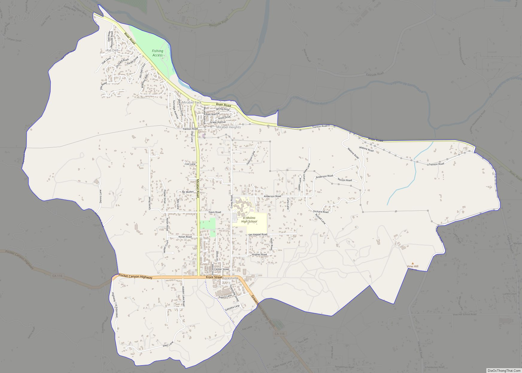
Forestville is a census-designated place (CDP) in Sonoma County, California, United States. It was settled during the late 1860s and was originally spelled Forrestville after one of its founders. The spelling long ago became standardized with one “r”. The population was 3,293 at the 2010 census, an increase of nearly 1,000 since the 2000 census. ... Read more
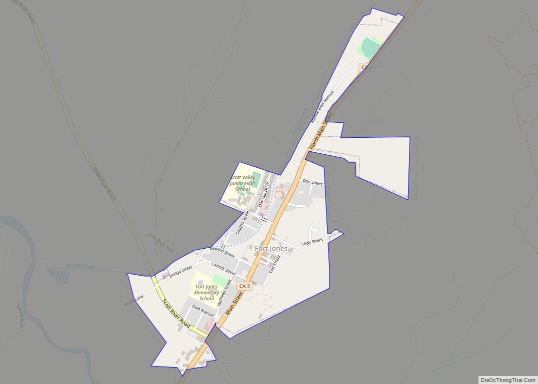
Fort Jones is a city in the Scott Valley area of Siskiyou County, California, United States. Like many of the communities that surround Mount Shasta, it lies in the southern tip of the Cascadia bioregion. Its population is 695 as of the 2020 census, down from 839 from the 2010 census. Fort Jones city overview: ... Read more
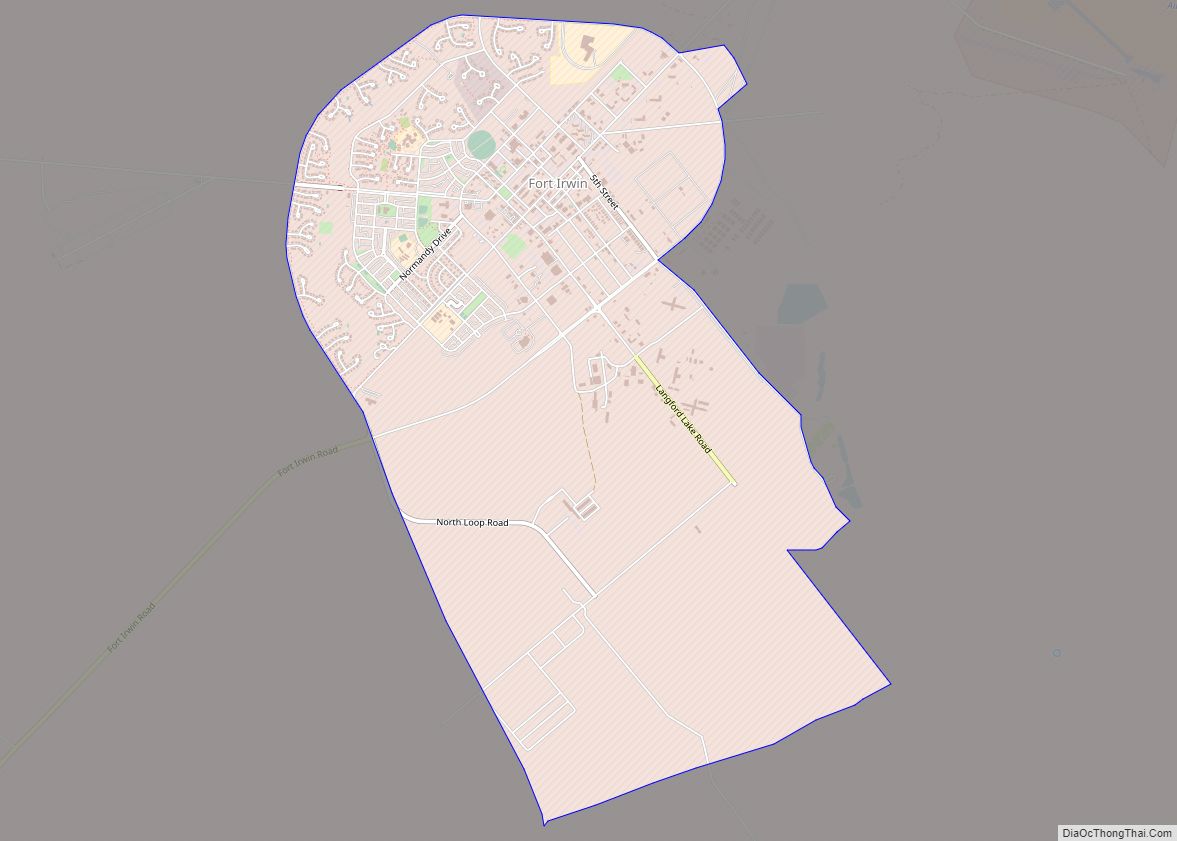
Fort Irwin National Training Center (Fort Irwin NTC) is a major training area for the United States military in the Mojave Desert in northern San Bernardino County, California. Fort Irwin is at an average elevation of 2,454 feet (748 m). It is located 37 miles (60 km) northeast of Barstow, in the Calico Mountains. The National Training ... Read more
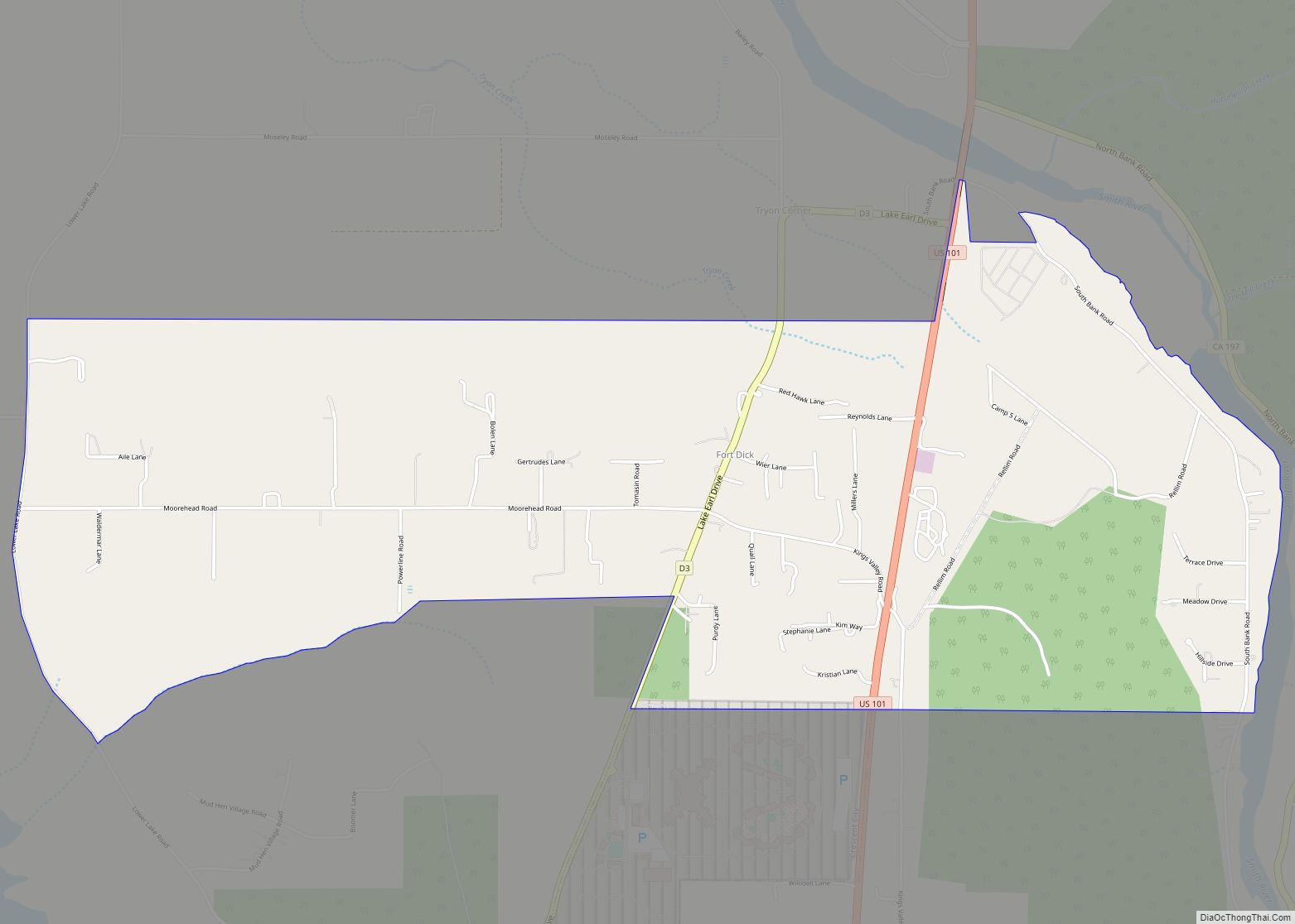
Fort Dick (Tolowa: Mvn-des-chuu-dvn) is a small unincorporated community in rural Del Norte County, California. Fort Dick is around five miles (eight kilometers) north of Crescent City, California, and around 15 mi (24 km) south of the California–Oregon state line. Its population is 912 as of the 2020 census, up from 588 from the 2010 census.It is ... Read more
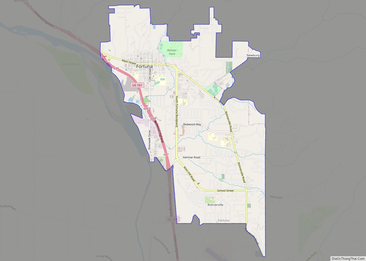
Fortuna (Spanish for “Fortune”; Wiyot: Vutsuwitk Da’l) is a city on the northeast shore of the Eel River, approximately 9 miles (14 km) from where it enters the Pacific Ocean, and is on U.S. Route 101 in west-central Humboldt County, California, United States. The population was 12,516 at the 2020 census, up from 11,926 at the ... Read more
Fort Washington is a census-designated place in Fresno County, California. Fort Washington sits at an elevation of 249 feet (76 m). The 2010 United States census reported Fort Washington’s population was 233. Fort Washington CDP overview: Name: Fort Washington CDP LSAD Code: 57 LSAD Description: CDP (suffix) State: California County: Fresno County Elevation: 367 ft (112 m) Total ... Read more
Foster City is a city located in San Mateo County, California. The 2020 census put the population at 33,805, an increase of more than 10% over the 2010 census figure of 30,567. Foster City is sometimes considered to be part of Silicon Valley for its local industry and its proximity to Silicon Valley cities. Foster ... Read more
Franklin (also referred to as Franklin-Beachwood) is a census-designated place in Merced County, California, United States, sitting at an elevation of 161 feet (49 m). As of the 2020 census the population was 6,919, up from 6,149 in 2010. Franklin-Beachwood is administered by Merced County as one of its unincorporated urban communities. Franklin CDP overview: Name: ... Read more
Fowler (formerly, Fowler’s Switch) is a city in Fresno County, California, United States. It is located within the San Joaquin Valley. It has a strong agricultural community, with lush grape vineyards and expansive farmland. Fowler is located 11 miles (18 km) southeast of downtown Fresno, at an elevation of 308 feet (94 m). The population was ... Read more
