Foster City is a city located in San Mateo County, California. The 2020 census put the population at 33,805, an increase of more than 10% over the 2010 census figure of 30,567. Foster City is sometimes considered to be part of Silicon Valley for its local industry and its proximity to Silicon Valley cities. Foster City is one of the United States’ safest cities, with an average of one murder per decade.
| Name: | Foster City city |
|---|---|
| LSAD Code: | 25 |
| LSAD Description: | city (suffix) |
| State: | California |
| County: | San Mateo County |
| Incorporated: | April 27, 1971 |
| Elevation: | 7 ft (2 m) |
| Total Area: | 19.83 sq mi (51.37 km²) |
| Land Area: | 3.79 sq mi (9.81 km²) |
| Water Area: | 16.05 sq mi (41.56 km²) 81.07% |
| Total Population: | 33,805 |
| Population Density: | 8,947.22/sq mi (3,454.27/km²) |
| ZIP code: | 94404 |
| Area code: | 650 |
| FIPS code: | 0625338 |
| Website: | www.fostercity.org |
Online Interactive Map
Click on ![]() to view map in "full screen" mode.
to view map in "full screen" mode.
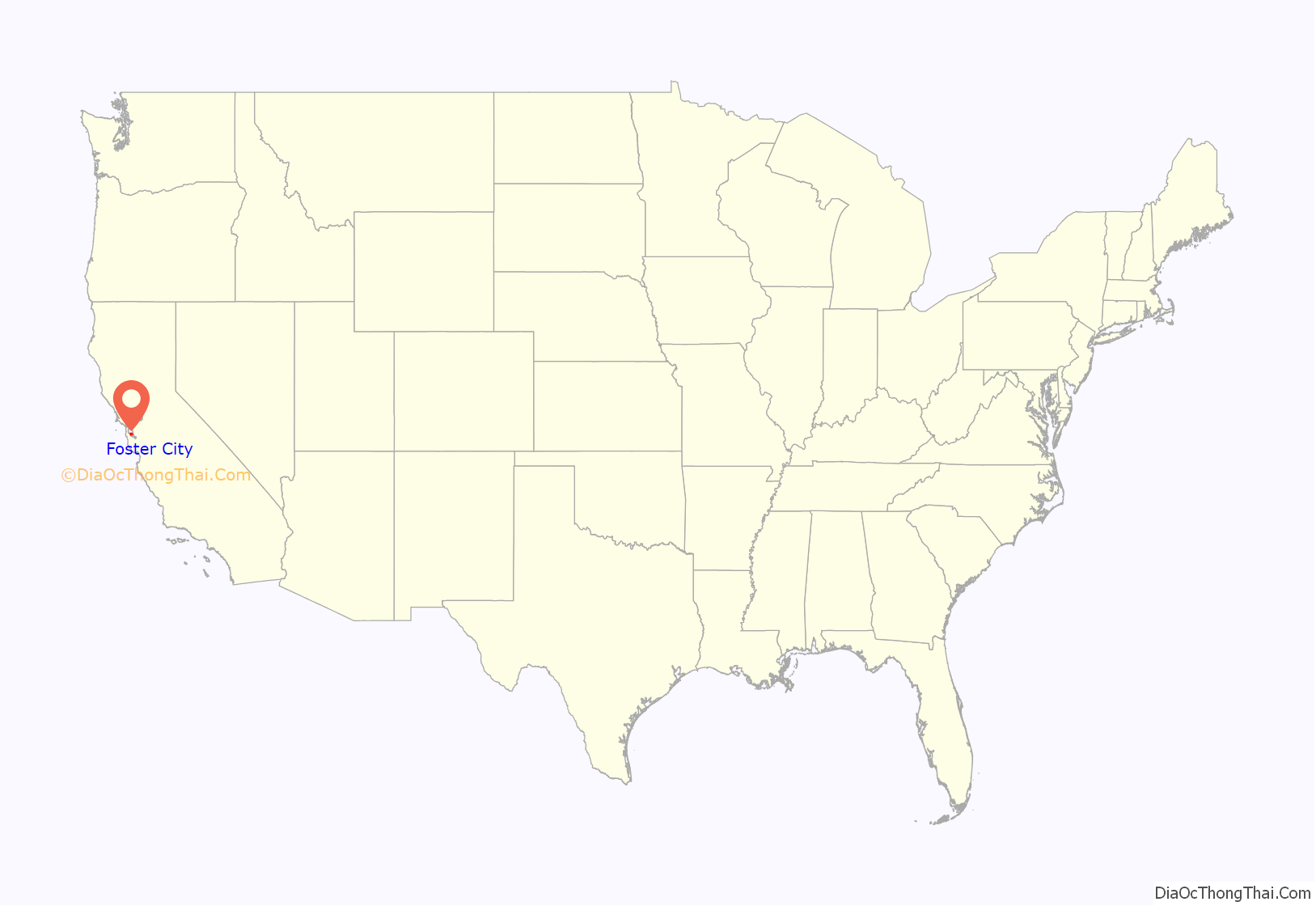
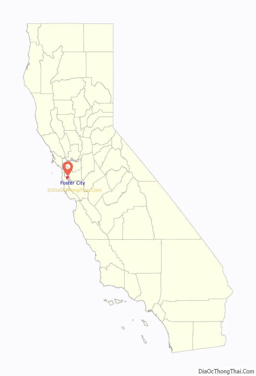
Foster City location map. Where is Foster City city?
History
Foster City was founded in the 1960s, built on the existing Brewer Island in the marshes of the San Francisco Bay on the east edge of San Mateo, enlarged with engineered landfill. The city was named after T. Jack Foster, a real estate magnate who owned much of the land comprising the city and who was instrumental in its initial design. His firm, Foster Enterprises, now run by his descendants, relocated to San Mateo in 2000 and is still active in real estate affairs throughout the San Francisco Bay Area.
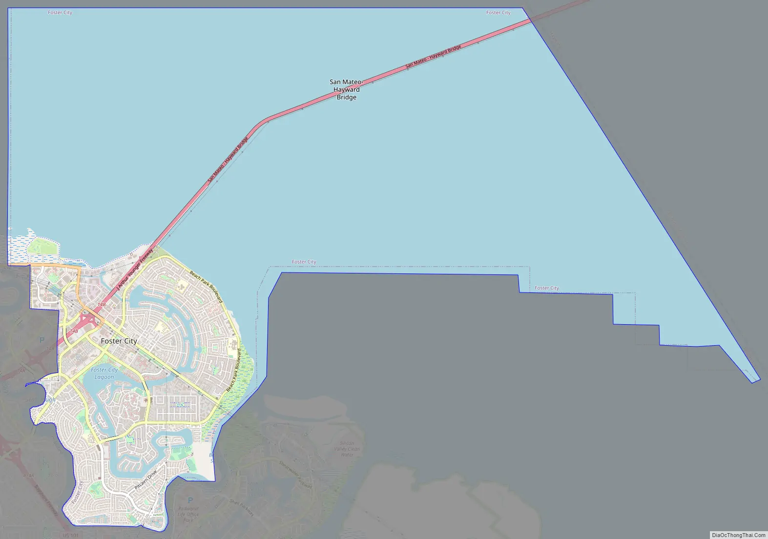
Foster City Road Map
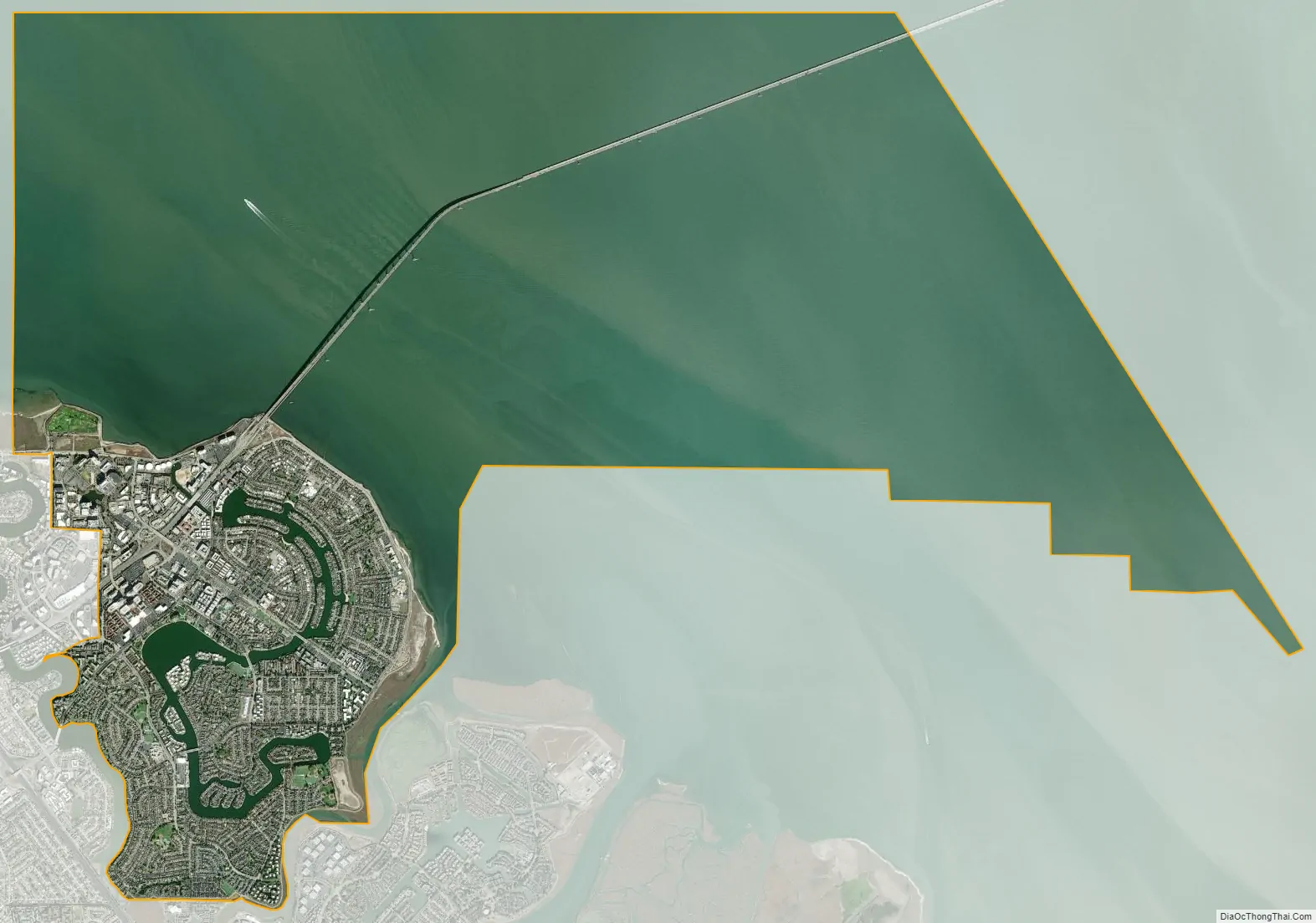
Foster City city Satellite Map
Geography
According to the United States Census Bureau, the city has a total area of 19.8 square miles (51 km), of which 3.8 square miles (9.8 km) is land and 16.1 square miles (42 km) is water. The total area is 81.07% water. Foster City has ongoing issues with water intrusion from the San Francisco Bay and is potentially subject to permanent inundation as the sea level rises. A project to improve the existing levee with a steel-reinforced wall has been underway since FEMA designated the entire area as a floodplain making residents subject to much higher flood insurance rates.
Climate
Foster City, like most of the peninsula, has a mild Mediterranean climate, with warm, dry summers and cool, wet winters. The warmest month of the year is September, with an average daytime temperature of 77.8 °F (25.4 °C) and an average nighttime temperature of 53.8 °F (12.1 °C), while the coldest month of the year is January, with an average daytime temperature of 58 °F (14 °C) and an average nighttime temperature of 41.5 °F (5.3 °C).
See also
Map of California State and its subdivision:- Alameda
- Alpine
- Amador
- Butte
- Calaveras
- Colusa
- Contra Costa
- Del Norte
- El Dorado
- Fresno
- Glenn
- Humboldt
- Imperial
- Inyo
- Kern
- Kings
- Lake
- Lassen
- Los Angeles
- Madera
- Marin
- Mariposa
- Mendocino
- Merced
- Modoc
- Mono
- Monterey
- Napa
- Nevada
- Orange
- Placer
- Plumas
- Riverside
- Sacramento
- San Benito
- San Bernardino
- San Diego
- San Francisco
- San Joaquin
- San Luis Obispo
- San Mateo
- Santa Barbara
- Santa Clara
- Santa Cruz
- Shasta
- Sierra
- Siskiyou
- Solano
- Sonoma
- Stanislaus
- Sutter
- Tehama
- Trinity
- Tulare
- Tuolumne
- Ventura
- Yolo
- Yuba
- Alabama
- Alaska
- Arizona
- Arkansas
- California
- Colorado
- Connecticut
- Delaware
- District of Columbia
- Florida
- Georgia
- Hawaii
- Idaho
- Illinois
- Indiana
- Iowa
- Kansas
- Kentucky
- Louisiana
- Maine
- Maryland
- Massachusetts
- Michigan
- Minnesota
- Mississippi
- Missouri
- Montana
- Nebraska
- Nevada
- New Hampshire
- New Jersey
- New Mexico
- New York
- North Carolina
- North Dakota
- Ohio
- Oklahoma
- Oregon
- Pennsylvania
- Rhode Island
- South Carolina
- South Dakota
- Tennessee
- Texas
- Utah
- Vermont
- Virginia
- Washington
- West Virginia
- Wisconsin
- Wyoming


