Fort Bragg, officially the City of Fort Bragg, is a city along the Pacific Coast of California along Shoreline Highway in Mendocino County. The city is 24 miles (39 km) west of Willits, at an elevation of 85 feet (26 m). Its population was 6,983 at the 2020 census.
Fort Bragg is a tourist destination because of its views of the Pacific Ocean. Among its notable points of interest are Glass Beach and the California Western Railroad (popularly known as the “Skunk Train”).
A California Historical Landmark, Fort Bragg was founded in 1857 prior to the American Civil War as a military garrison rather than a fortification. It was named after army officer Braxton Bragg, who at the time had served the U.S. in the Mexican–American War (and would later serve in the Confederate Army during the Civil War). The city was later incorporated in 1889.
| Name: | Fort Bragg city |
|---|---|
| LSAD Code: | 25 |
| LSAD Description: | city (suffix) |
| State: | California |
| County: | Mendocino County |
| Incorporated: | August 5, 1889; 133 years ago (1889-08-05) |
| Elevation: | 85 ft (26 m) |
| Total Area: | 2.93 sq mi (7.59 km²) |
| Land Area: | 2.90 sq mi (7.51 km²) |
| Water Area: | 0.03 sq mi (0.09 km²) 1.1% |
| Population Density: | 2,400/sq mi (920/km²) |
| ZIP code: | 95437 |
| Area code: | 707 |
| FIPS code: | 0625058 |
| Website: | city.fortbragg.com |
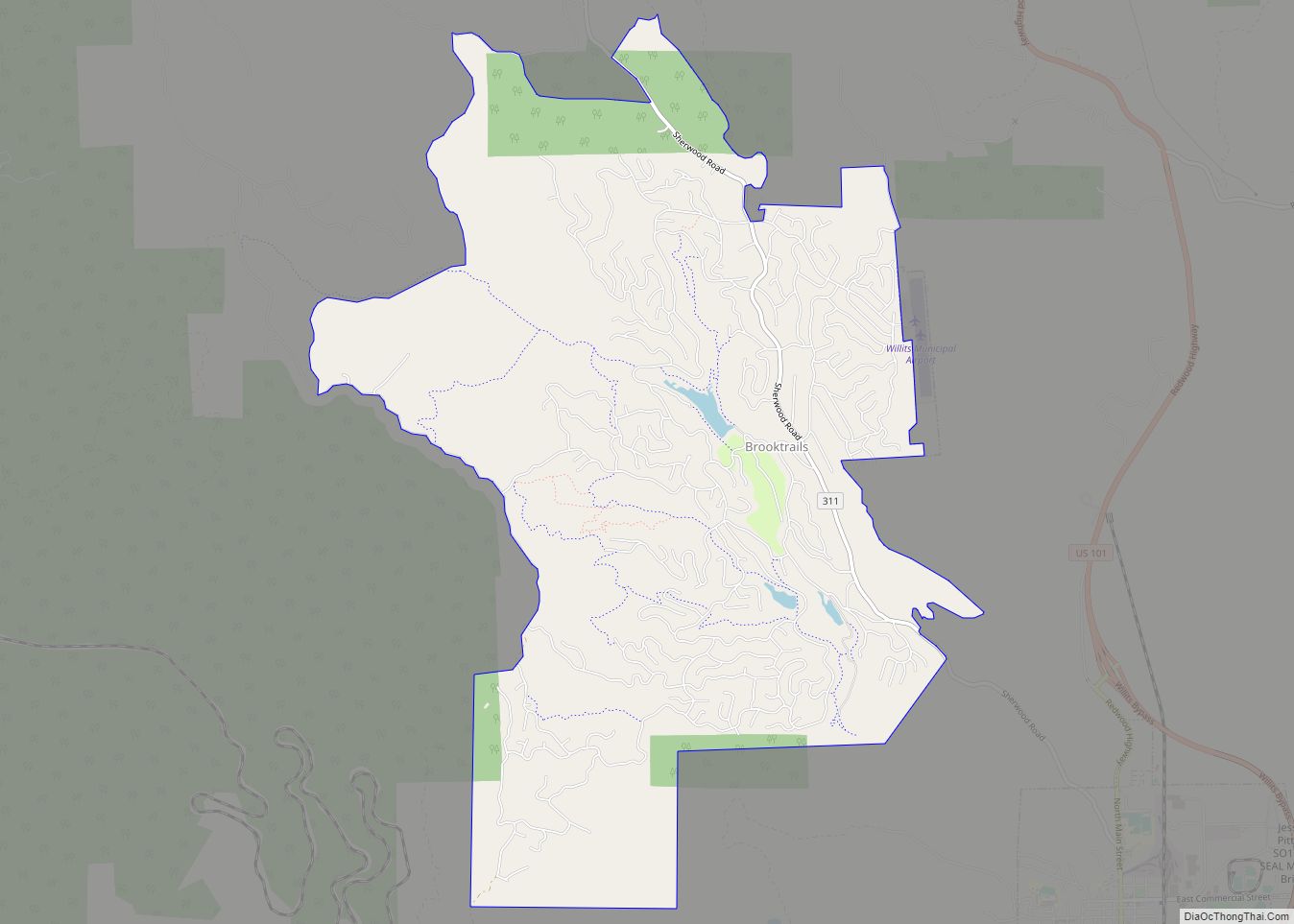
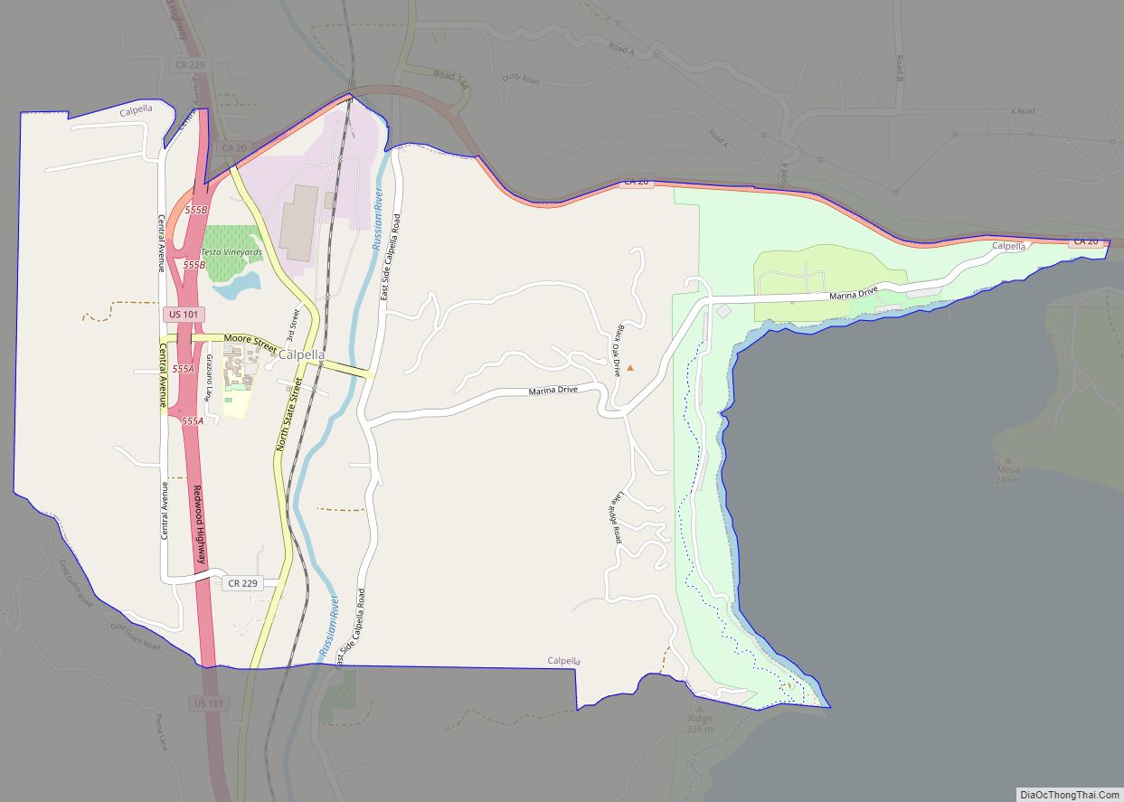
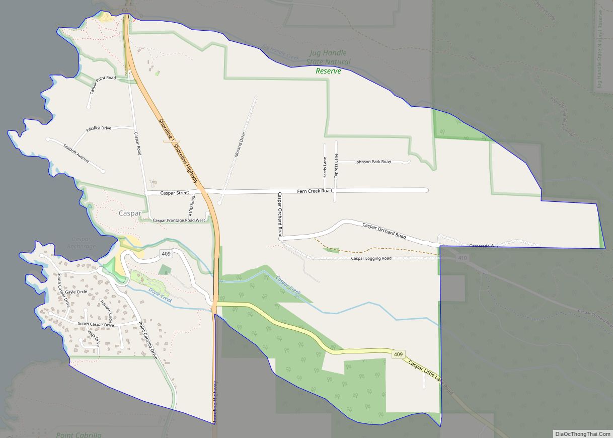
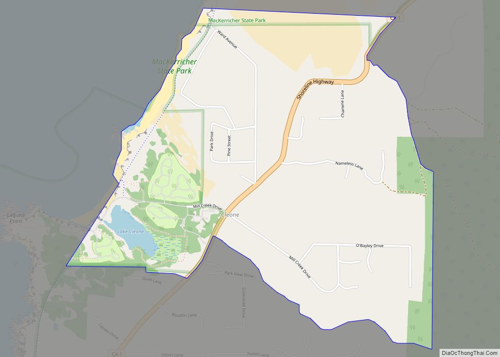
Online Interactive Map
Click on ![]() to view map in "full screen" mode.
to view map in "full screen" mode.
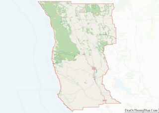
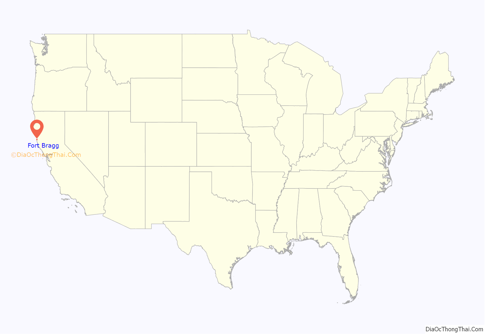
Fort Bragg location map. Where is Fort Bragg city?
History
The area now known as Fort Bragg was home to Native Americans since before Western expansion, most of whom belong to the Pomo tribe. They historically were hunter gatherers who lived along the northern coast of California.
1855–1867
In 1855, an exploration party from the Bureau of Indian Affairs visited the area looking for a site on which to establish a reservation; in the spring of 1856, the Mendocino Indian Reservation was established at Noyo. It was 25,000 acres (100 km) in size, and its boundary extended north from what is now Simpson Lane to Abalobadiah Creek and east from the Pacific Ocean to Bald Hill.
In the summer of 1857, 1st Lt. Horatio G. Gibson, then serving at the Presidio of San Francisco, established a military post on the reservation, approximately one and a half miles (2.4 km) north of the Noyo River, and named it for his former commanding officer Capt. Braxton Bragg, who later became a General in the Army of the Confederacy.
Gibson and Company M, 3rd Artillery, left Fort Bragg in January 1859 to be replaced by Company D, 6th Infantry, which stayed for two years and continued to build up the post.
In June 1862, Company D, 2nd California Infantry, were ordered to garrison the post and remained until 1864. In October of that year, the Fort Bragg garrison was loaded aboard the steamer Panama and completed the evacuation and abandonment of Mendocino County’s first military post.
The Mendocino Indian Reservation was discontinued in March 1866, and the land was opened for settlement three years later.
The last remaining building of the Fort Bragg military post is located at 430 North Franklin Street. It may have been the Quartermaster’s storehouse and commissary or surgeon’s quarters or hospital.
The approximate boundaries of the fort extend from the south side of Laurel, east from the railroad depot to the carriage road behind Franklin, down the lane to a point 100 feet (30 m) south of Redwood Avenue, west on Redwood to just beyond the Georgia-Pacific Corporation company offices, then north to connect with the Laurel Street border at the railroad station.
1867–1892
By 1867, the reservation and military outpost at Fort Bragg were abandoned. By 1869, small lumber mills were being built at the mouth of every creek. Ranches were settled. By 1873, Fort Bragg had an established lumber port at Noyo.
In 1869, after the fort was abandoned, and the land surveyed by the U.S. Geological Survey, the land of the reservation was returned to the public and offered for sale at $1.25 per acre to settlers. In 1885, C. R. Johnson who, with partners Calvin Stewart and James Hunter, had been operating a sawmill in Mill Creek on the Ten Mile River, moved their mill machinery to Fort Bragg to take advantage of the harbor for shipping.
The company incorporated in 1885 as the Fort Bragg Redwood Company. In 1891, after merging with the Noyo River Lumber Company, it was renamed the Union Lumber Company.
The Fort Bragg Railroad was founded to haul logs to the mill. The first rails were run up Pudding Creek and, in 1887, reached Glen Blair. A San Francisco streetcar was purchased to carry loggers and their families on Sunday excursions to the woods.
Fort Bragg was incorporated in 1889 with C. R. Johnson as its first mayor, and Calvin Stewart drafting its plat maps.
Built in Fort Bragg for Horace Weller in 1886, the Weller House is the oldest existing house in the city. Since 1999, this house, converted into a hotel, has welcomed tourists from around the world.
1893–1916
The Union Lumber Company was incorporated in 1891 by absorbing some of the smaller lumber companies in the area. Some of the new company lands were in the Noyo River watershed east of Fort Bragg making removal of logs difficult by rail, unless a tunnel was built. Johnson hired experienced Chinese tunnel builders from San Francisco. After completion of the tunnel, most of the Chinese settled in Fort Bragg and Mendocino. A six-walled Chinese town was built at Redwood and McPherson. Older residents say that eventually most of the Chinese children moved elsewhere.
In 1901, the Union Lumber Company incorporated the National Steamship Company to carry lumber, passengers and supplies. As the only link to manufactured creature comforts, staples like sugar and coffee were delivered by steamship. In 1905, the California Western Railroad and Navigation Company was established and plans were pushed to get the rail line all the way to Willits, where train connections to the Northwestern Pacific would link to San Francisco.
The 1906 earthquake resulted in a fire that threatened the saw mill and the city. Within Fort Bragg itself, all brick buildings were damaged. Only two were not destroyed completely. Many frame houses were knocked off their piers. The fire downtown burned the entire block bordered by Franklin, Redwood and McPherson Streets, plus the west side of Franklin. The west Franklin block burned down to approximately one half a block beyond the intersection of Redwood and Franklin.
After the earthquake, most downtown reconstruction was completed within 12 months. Coincidentally, the earthquake brought real prosperity to Fort Bragg as the mills furnished lumber to rebuild San Francisco, and the lumber ships returning from San Francisco were ballasted with bricks used for rebuilding Fort Bragg. With the new prosperity, the rail line to Willits was completed and in 1912 the first tourists came to Fort Bragg. By 1916 Fort Bragg had become a popular place to visit—and to settle.
Since 1916
Commercial fishing has also played an important role in the economic base of the community. Once a major commercial fishing port, Fort Bragg was well known for producing quality fish products that were distributed to major metropolitan markets.
In 1916, the Union Lumber Company built a railroad from the South Fork of Ten Mile River to Fort Bragg, where its operations were. By 1929, what lumber could not be sent by rail to the company mill at Fort Bragg was handled by the mill at Pudding Creek owned by the Glen Blair Redwood Company. The Union Lumber Company established its own post office on Churchman Creek to service its logging camps there in 1931, but it operated only until 1932. The railroad was removed in 1945 as rail transport was replaced by haulage by truck; nowadays it is a recreational corridor in MacKerricher State Park.
In 1969, the Union Lumber Company was purchased by Boise Cascade and John Quincy and it became Georgia Pacific Lumber Company in 1973. The mill was shut down in 2002 after being identified as a nonperforming asset. The 400-acre (1.6 km) piece of property within the city limits takes up almost the entire coastline of Fort Bragg, including Fort Bragg Landing.
As of July 2017, the mill site was sold and is undergoing redevelopment, including removal of toxic waste.
In 2015, members of the California Legislative Black Caucus petitioned Fort Bragg to change its name due to Braxton Bragg’s links to the Confederacy. The mayor of Fort Bragg at that time, Lindy Peters, stated that there was not really much interest among the residents, and cited the costs that every company and institution in the area would have to pay to change all of the addresses.
There were further calls to change the name in June 2020, following the murder of George Floyd. On June 22, the Fort Bragg City Council considered whether to put a proposition on the November ballot asking its residents if they would like a name change, but decided instead to form an ad hoc committee to explore options for the city’s name. They estimated the cost to change the name would be $271,000. Among the alternative options that were explored was to simply rededicate the city to a different notable person named Bragg. However, by late January 2022, the commission announced that it could not come to a consensus on a name change.
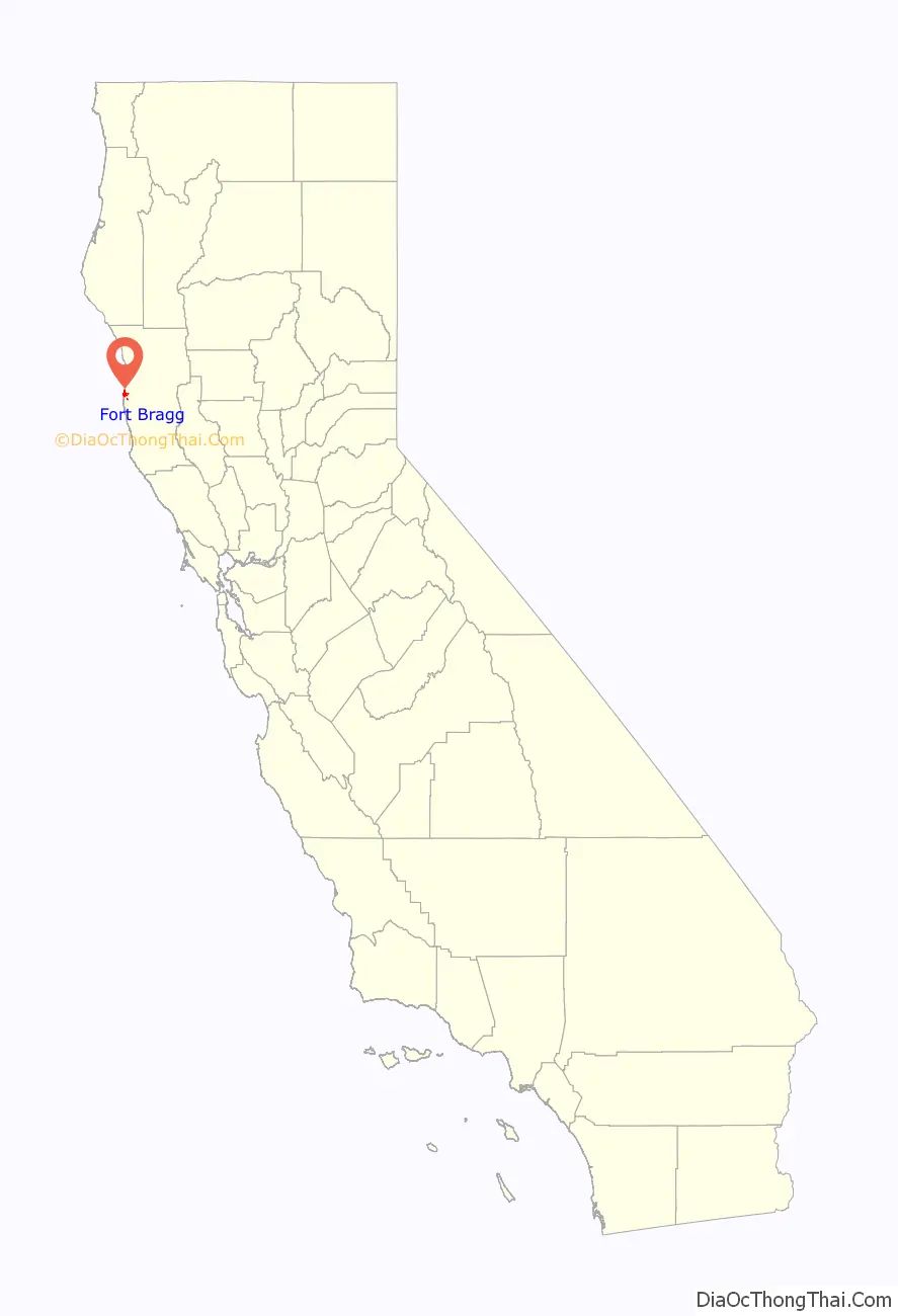
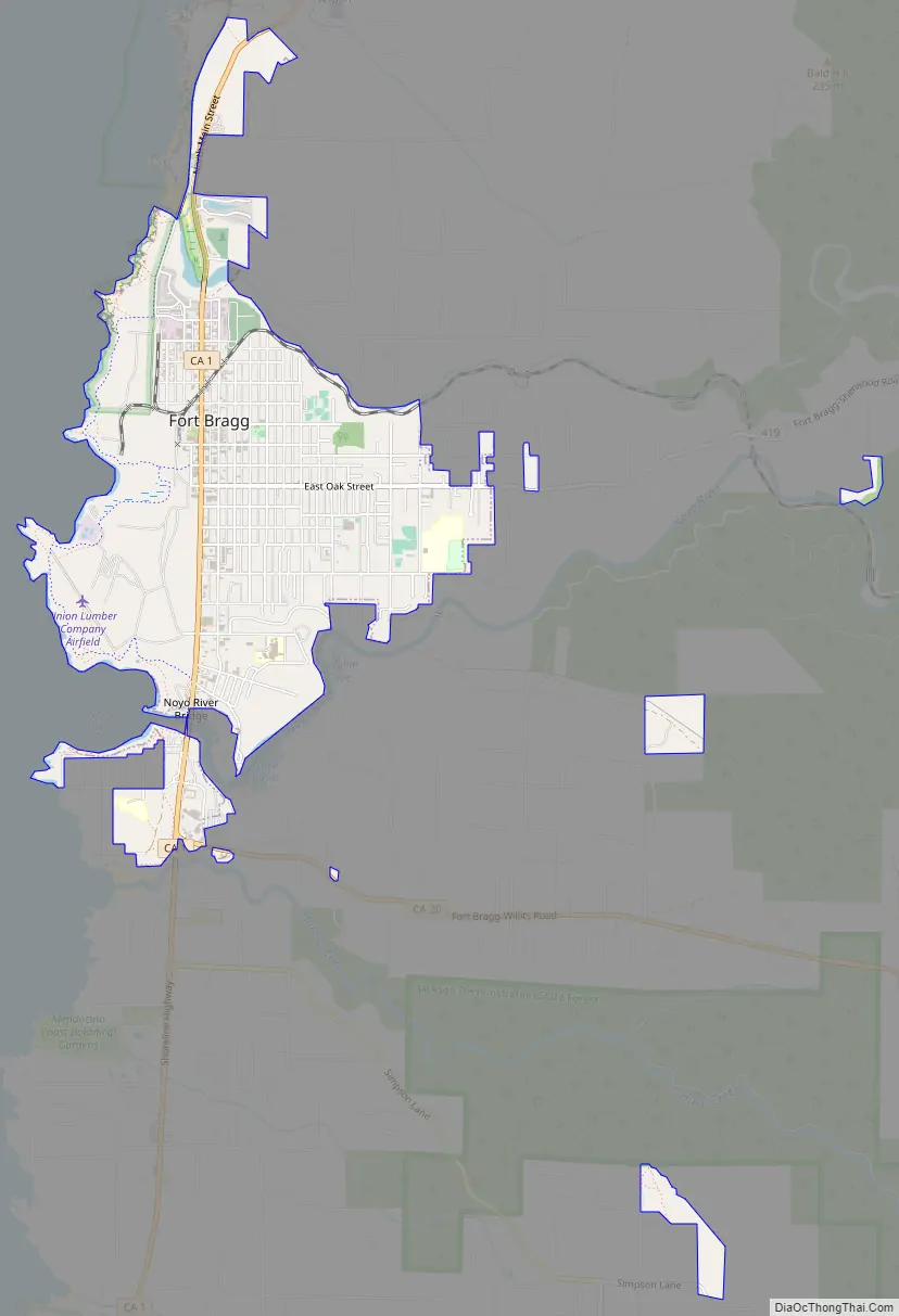
Fort Bragg Road Map
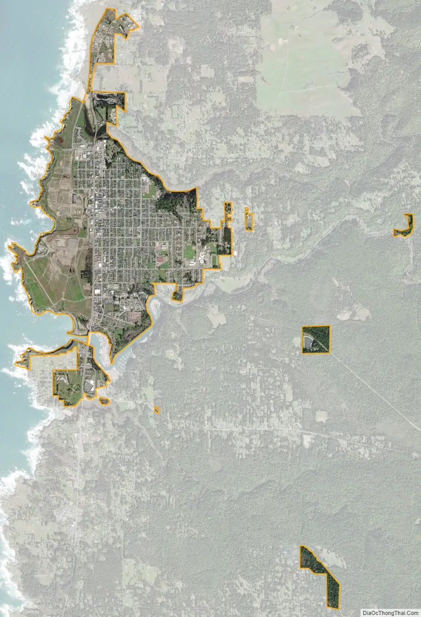
Fort Bragg city Satellite Map
Geography
Fort Bragg is located at 39°26′45″N 123°48′19″W / 39.44583°N 123.80528°W / 39.44583; -123.80528 with an average elevation of 85 ft (26 m) above sea level.
According to the United States Census Bureau, the city has a total area of 2.8 square miles (7.3 km), of which 2.7 square miles (7.0 km) is land and 0.04 square miles (0.10 km) (comprising 1.44%) is water.
See also
Map of California State and its subdivision:- Alameda
- Alpine
- Amador
- Butte
- Calaveras
- Colusa
- Contra Costa
- Del Norte
- El Dorado
- Fresno
- Glenn
- Humboldt
- Imperial
- Inyo
- Kern
- Kings
- Lake
- Lassen
- Los Angeles
- Madera
- Marin
- Mariposa
- Mendocino
- Merced
- Modoc
- Mono
- Monterey
- Napa
- Nevada
- Orange
- Placer
- Plumas
- Riverside
- Sacramento
- San Benito
- San Bernardino
- San Diego
- San Francisco
- San Joaquin
- San Luis Obispo
- San Mateo
- Santa Barbara
- Santa Clara
- Santa Cruz
- Shasta
- Sierra
- Siskiyou
- Solano
- Sonoma
- Stanislaus
- Sutter
- Tehama
- Trinity
- Tulare
- Tuolumne
- Ventura
- Yolo
- Yuba
- Alabama
- Alaska
- Arizona
- Arkansas
- California
- Colorado
- Connecticut
- Delaware
- District of Columbia
- Florida
- Georgia
- Hawaii
- Idaho
- Illinois
- Indiana
- Iowa
- Kansas
- Kentucky
- Louisiana
- Maine
- Maryland
- Massachusetts
- Michigan
- Minnesota
- Mississippi
- Missouri
- Montana
- Nebraska
- Nevada
- New Hampshire
- New Jersey
- New Mexico
- New York
- North Carolina
- North Dakota
- Ohio
- Oklahoma
- Oregon
- Pennsylvania
- Rhode Island
- South Carolina
- South Dakota
- Tennessee
- Texas
- Utah
- Vermont
- Virginia
- Washington
- West Virginia
- Wisconsin
- Wyoming