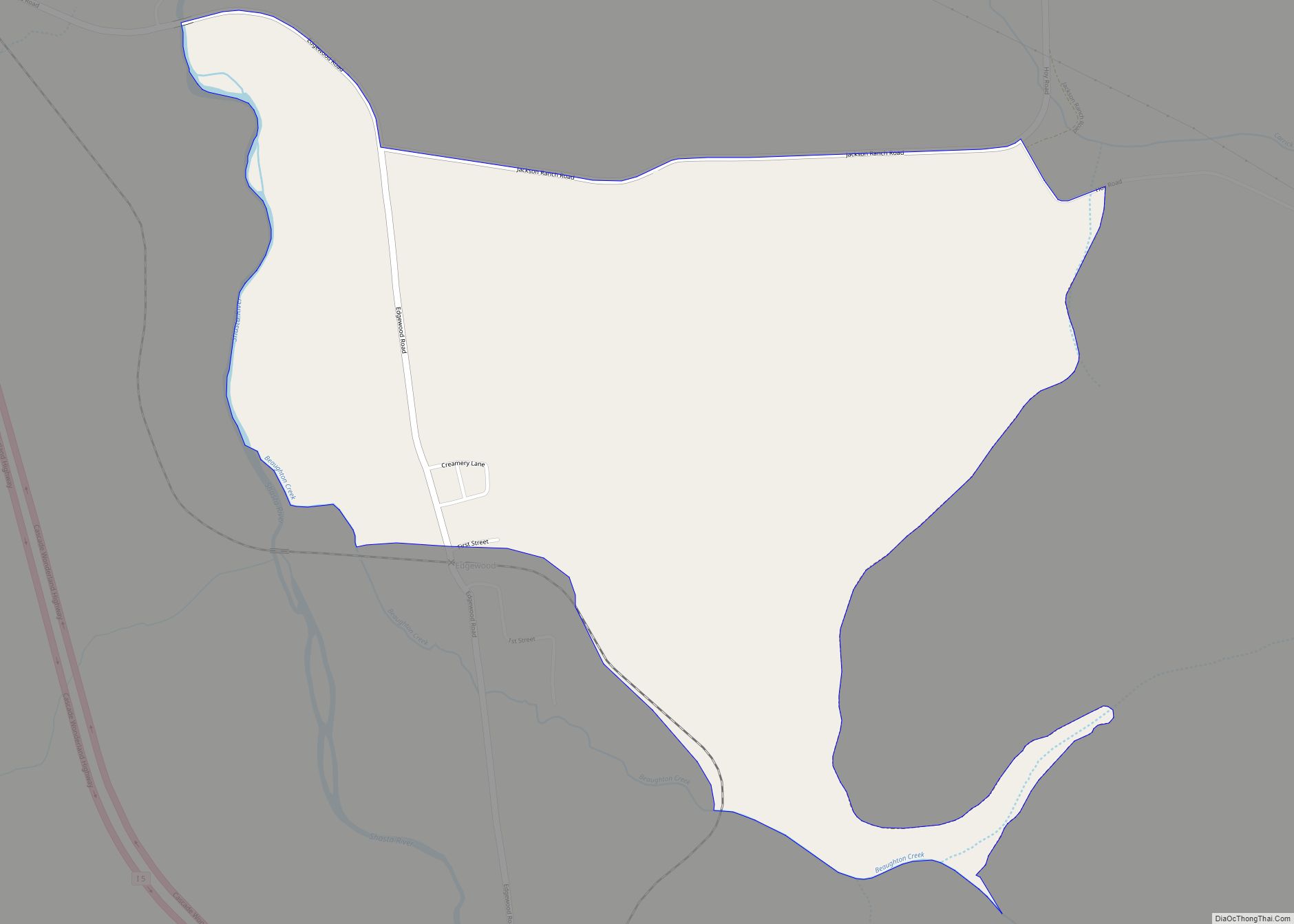
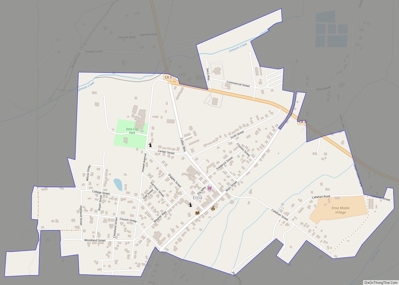
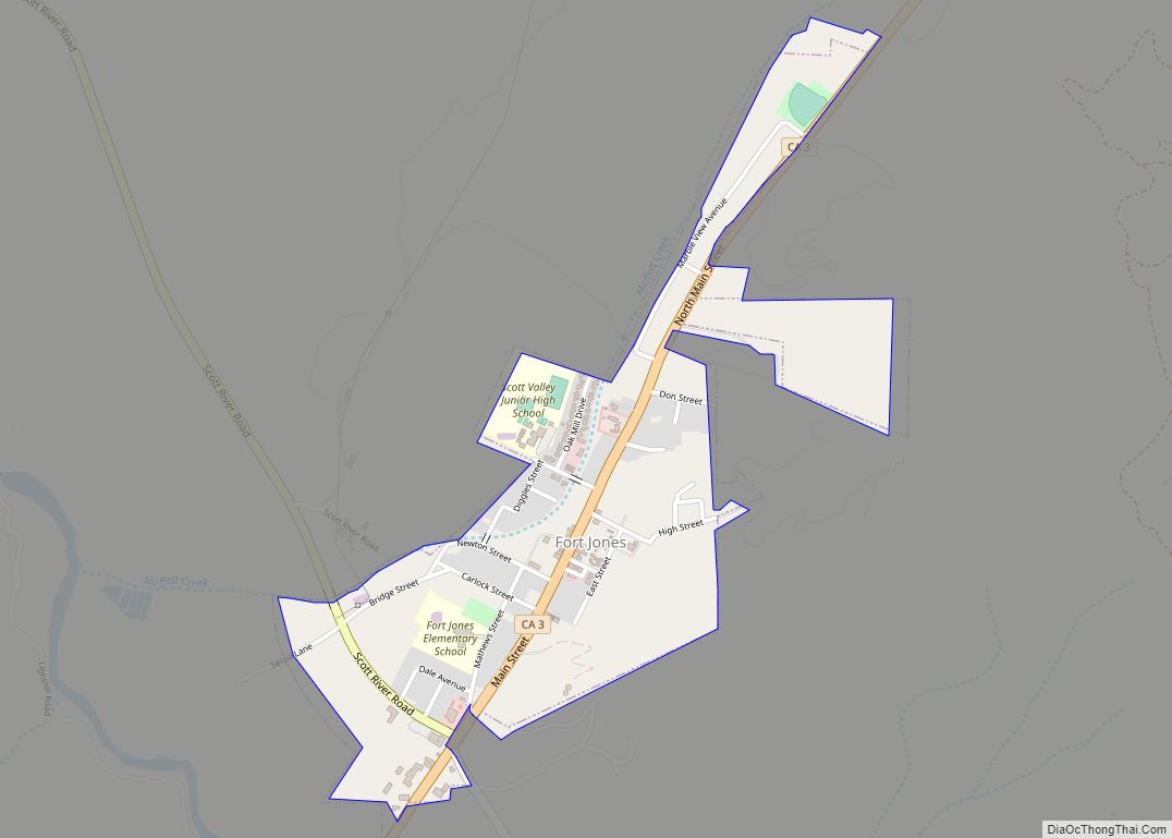
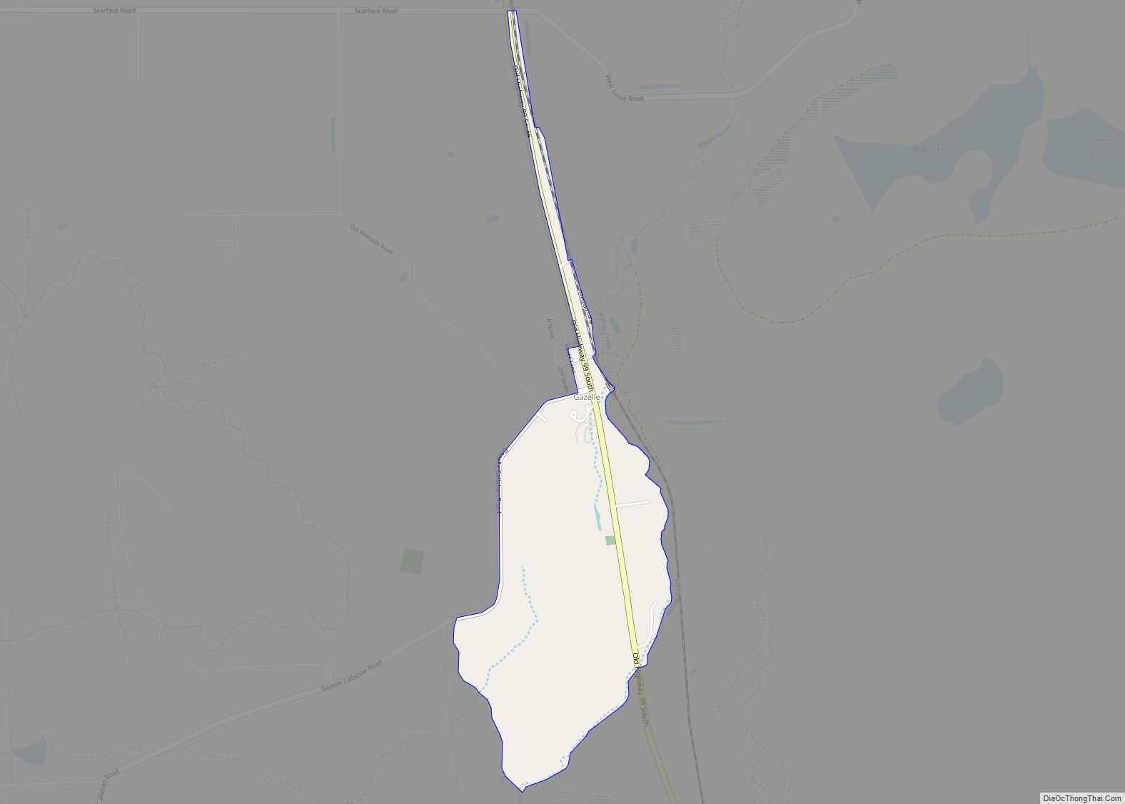
Fort Jones is a city in the Scott Valley area of Siskiyou County, California, United States. Like many of the communities that surround Mount Shasta, it lies in the southern tip of the Cascadia bioregion. Its population is 695 as of the 2020 census, down from 839 from the 2010 census.
| Name: | Fort Jones city |
|---|---|
| LSAD Code: | 25 |
| LSAD Description: | city (suffix) |
| State: | California |
| County: | Siskiyou County |
| Incorporated: | March 16, 1872 |
| Elevation: | 2,759 ft (841 m) |
| Total Area: | 0.60 sq mi (1.56 km²) |
| Land Area: | 0.60 sq mi (1.56 km²) |
| Water Area: | 0.00 sq mi (0.00 km²) 0% |
| Total Population: | 695 |
| Population Density: | 1,200/sq mi (450/km²) |
| ZIP code: | 96032 |
| Area code: | 530 |
| FIPS code: | 0625128 |
| GNISfeature ID: | 277519 |
| Website: | fortjonesca.org |
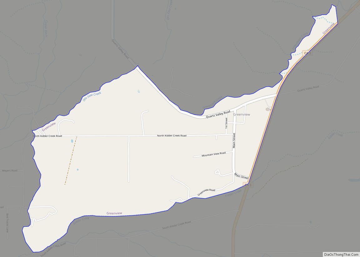
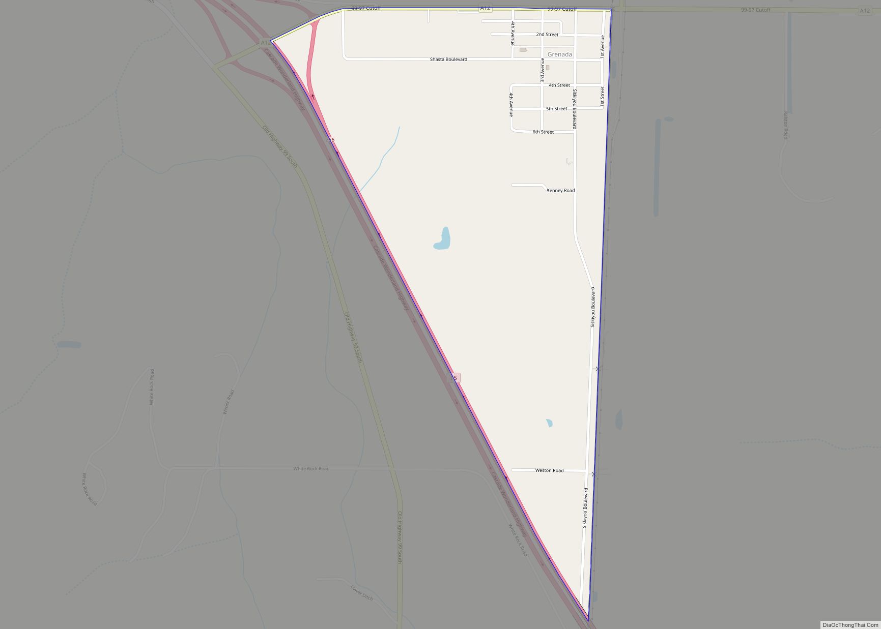
Online Interactive Map
Click on ![]() to view map in "full screen" mode.
to view map in "full screen" mode.
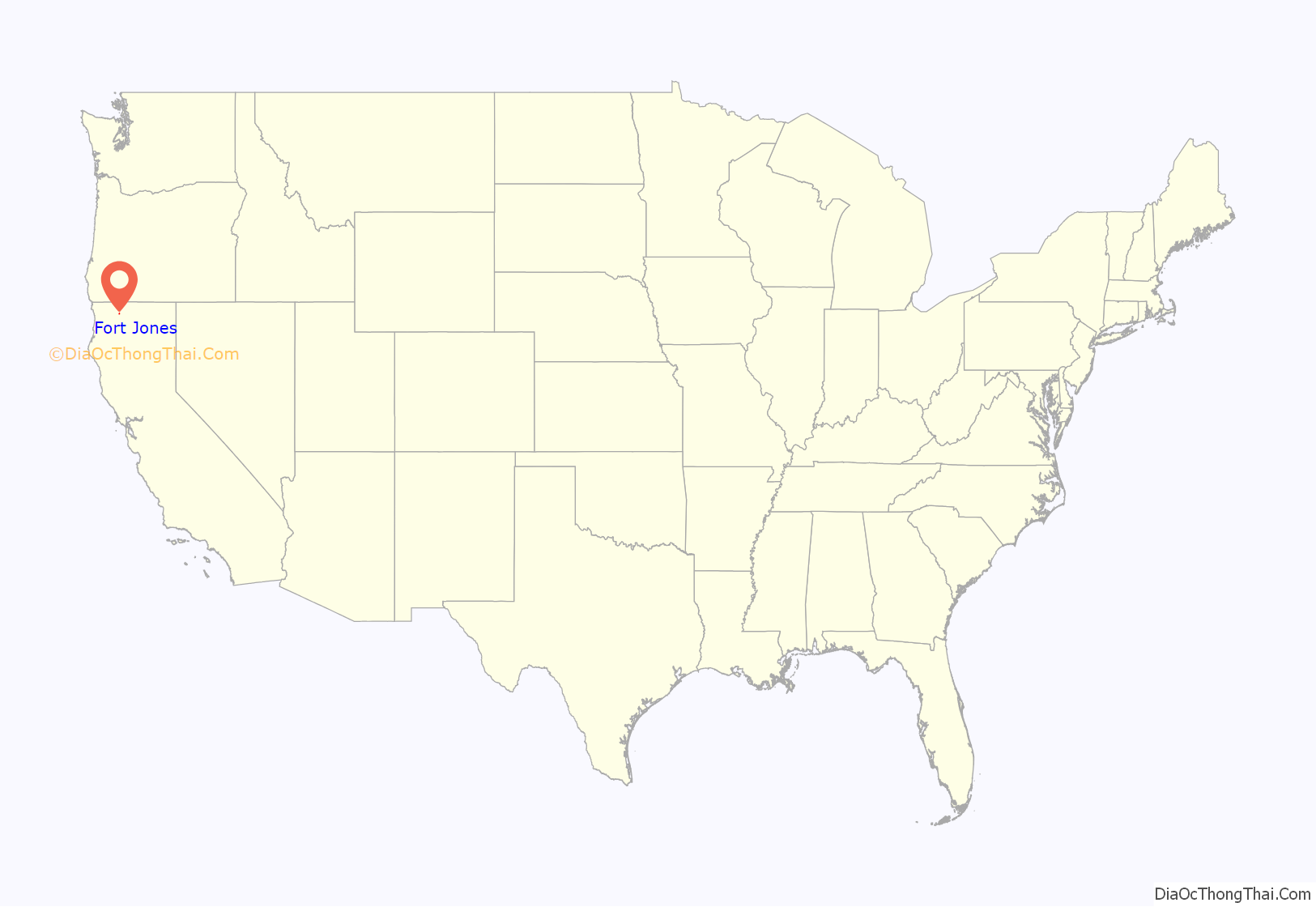
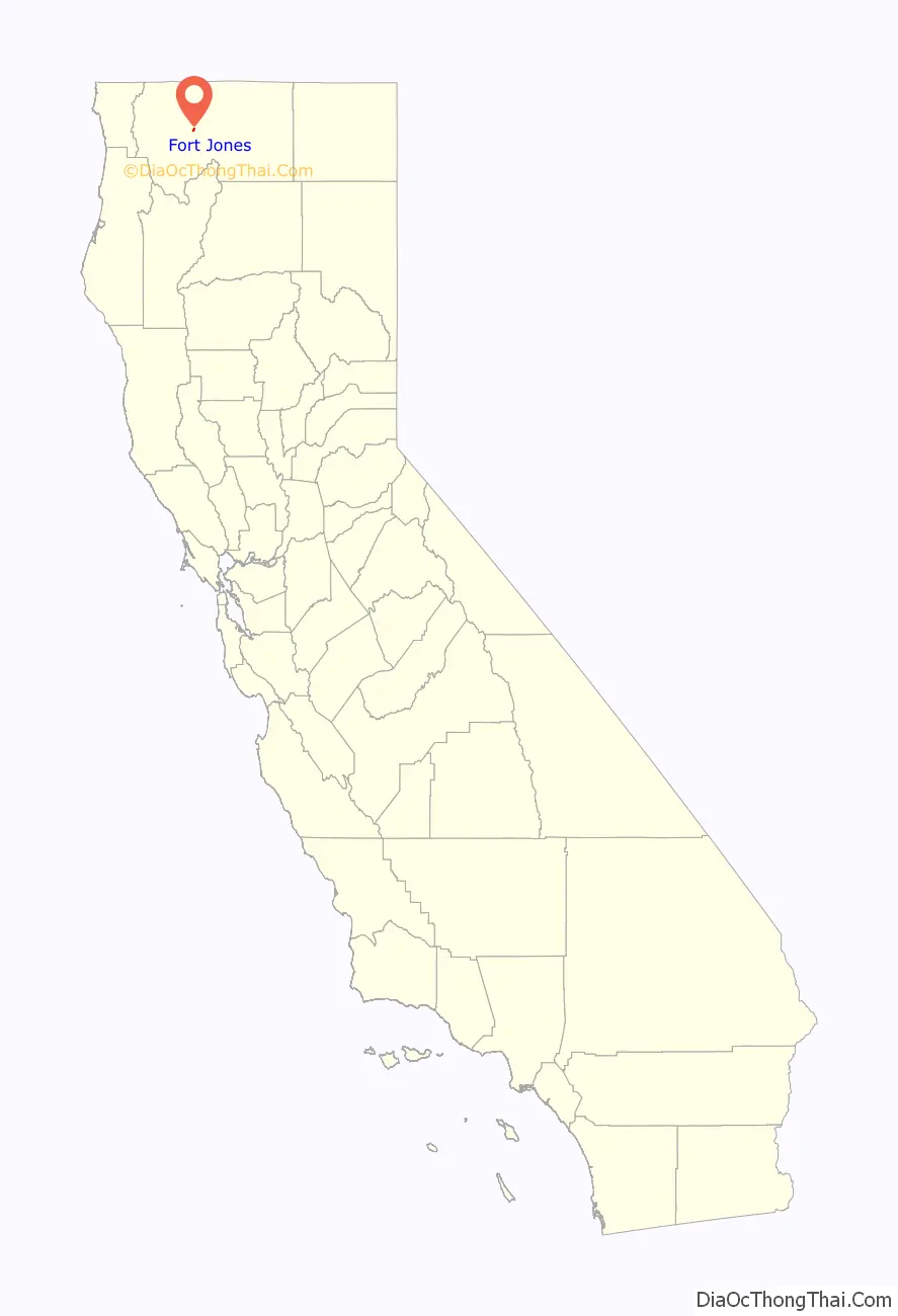
Fort Jones location map. Where is Fort Jones city?
History
Naming
Fort Jones is registered as a California Historical Landmark. It takes its name from the frontier outpost once located less than a mile to the south of the city’s corporate limits. The town was originally named Scottsburg (c. 1850), but was changed to Scottsville shortly afterward. In 1852, the site was again renamed Wheelock, this time in honor of Mr. O. C. Wheelock who, with his partners, established the area’s first commercial enterprise. In 1854, a post office was established and the town was renamed again, becoming known as Ottitiewa, the Indian name for the Scott River branch of the Shasta tribe. The name remained unchanged until 1860 when local citizens successfully petitioned the postal department to change the name to Fort Jones, a name that is retained to the present day.
The earliest permanent building at the town site was built in 1851 by two Messrs. Brown and Kelly. It was purchased soon after construction by O. C. Wheelock, Captain John B. Pierce, and two other unknown partners. Wheelock and his partners established a trading post, a bar, and a brothel at this site, which primarily served the troopers stationed at the fort. Near the end of the 1850s, the nearby mining camps of Hooperville and Deadwood began to disband as a result of the dwindling stores of placer gold, epidemic illness and devastating fires.
The mines around Scott Valley attracted many immigrants from many parts of the United States and the world, attracted to the area by news of the California Gold Rush of the 1850s. Irish and Portuguese immigrants remained as ranchers in the area after making enough on the gold fields to purchase property tracts in the valley. In the early years of the twentieth century, the northern Scott River tributaries of Moffitt and McAddams creeks were extensively settled by the Portuguese. The Irish surname Marlahan lives on after that family received a shipment of British hay seed infected with the seed of a plant known as Dyers Woad. Those seeds spread their spawn throughout Scott Valley, culturing a plant known in the area as Marlahan Mustard. The plant has a beautiful, canary plume in the spring which matures to small, black, hard seeds. Unfortunately, the herbivore beasts of burden will not eat hay in which this plant exists, and ever since it has been a scourge on the ranchers of Scott Valley.
On December 14, 1894, Billy Dean, a Native American, was lynched by unknown persons in the town of Happy Camp, California while in the custody of Constable Fred Dixon. Dean was accused of shooting co-worker William Baremore near Grinder Creek outside of Happy Camp on December 5, 1894. Constable Dixon and Dean were staying at a hotel in Happy Camp while on their way the Yreka, California jail, where Dean would be safe from local vigilantes. Baremore’s friends were tailing the pair and waited for their moment. At two in the morning on December 14, 1894, a dozen masked men stormed the room and disarmed Constable Dixon. They tied Dean’s hands and carried him to the Wheeler Building which was under construction where they strung him up by the neck from a derrick. His body was left hanging until 11:00 a.m. That day’s headline in the Scott Valley News boasted, “He Is Now A Good Indian. Billy Dean Kills a White Man Without Cause and Is Summarily Hoisted to the Happy Hunting Ground.”
Fort Jones
Located at 41°35′46″N 122°50′31″W / 41.59611°N 122.84194°W / 41.59611; -122.84194, the post of Fort Jones was established on October 18, 1852, by its first commandant, Captain (brevet Major) Edward H. Fitzgerald, E Company, 1st U.S. Dragoons. Fort Jones was named in honor of Colonel Roger Jones, who had been the Adjutant General of the Army from March 1825 to July 1852.
Such military posts were to be established in the vicinity of major stage routes, which would have meant locating the post in the vicinity of Yreka, 16 miles (26 km) to the Northeast. The areas around Yreka did not contain sufficient resources, including forage for their animals, so Capt. Fitzgerald located his troop some sixteen miles to the southwest, in what was then known as Beaver Valley. Fort Jones would continue to serve Siskiyou County’s military needs until the order was received to evacuate six years later, on June 23, 1858.
Among the officers stationed at Fort Jones who would attain national prominence in ensuing years were Phil Sheridan (Union Army); William Wing Loring (Confederate); John B. Hood (Confederate); George Crook (Union), who would become one of the greatest leaders of the Grand Army of the Republic less than a decade later; and George Pickett (Confederate). Ulysses S. Grant later a (Union) commander was ordered to Fort Jones, but was Absent Without Leave for whatever his tenure would have been.
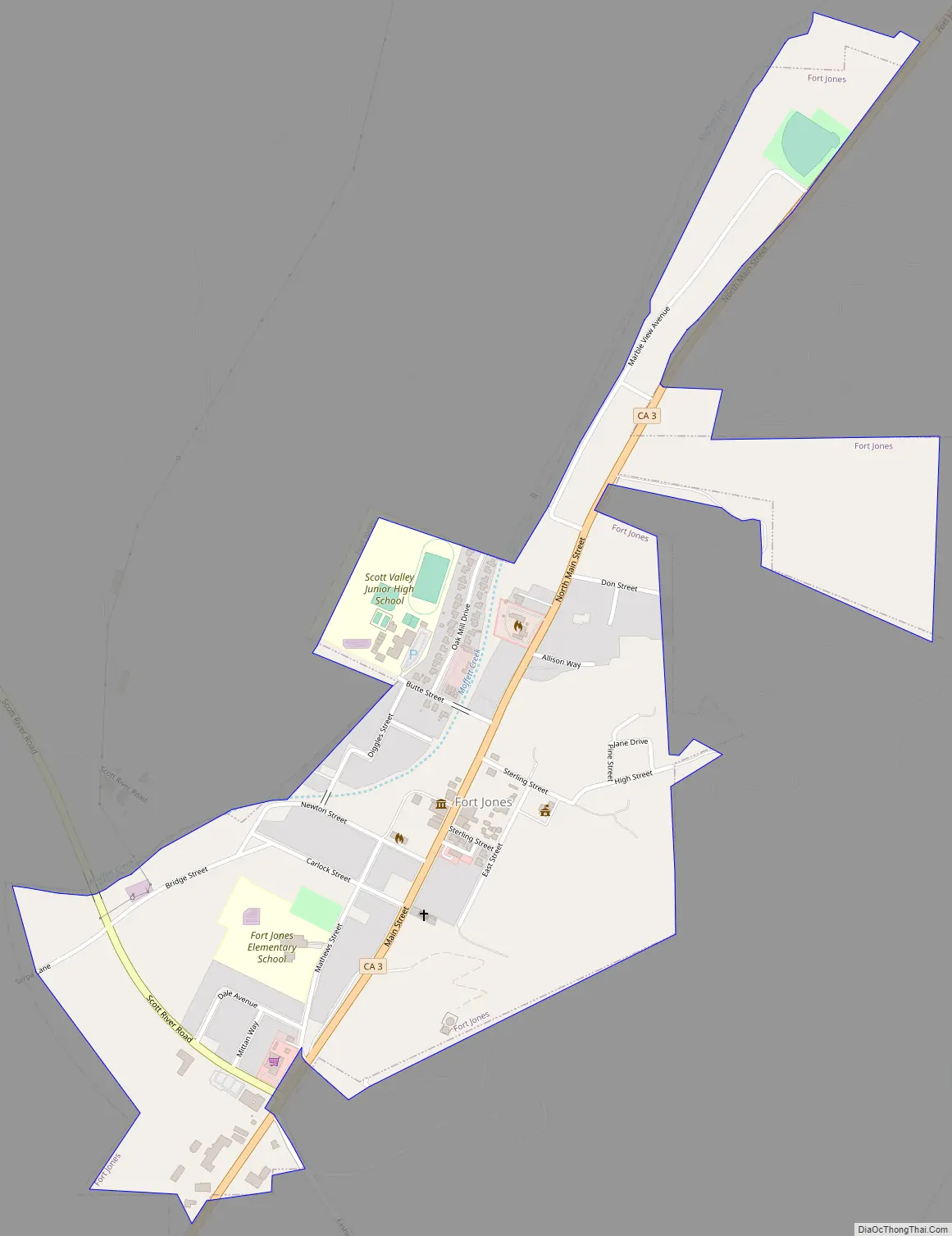
Fort Jones Road Map
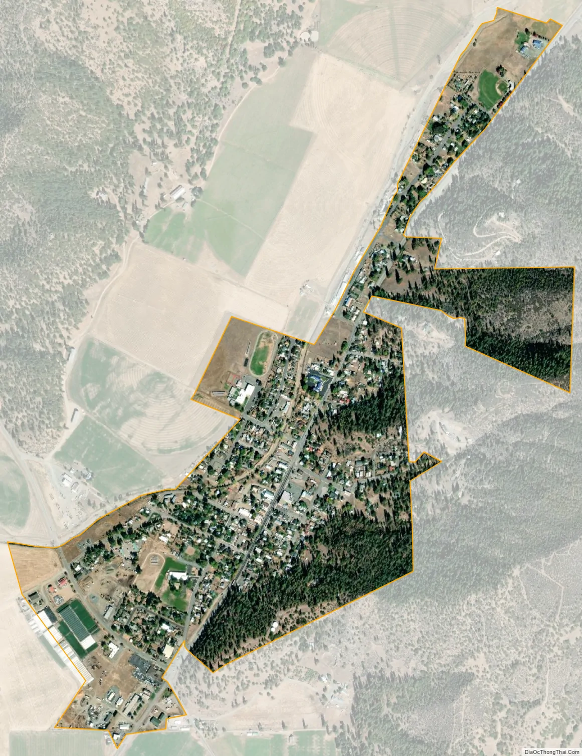
Fort Jones city Satellite Map
Geography
Fort Jones is located at 41°36′26″N 122°50′31″W / 41.60722°N 122.84194°W / 41.60722; -122.84194 (41.607303, -122.841817).
According to the United States Census Bureau, the city has a total area of 0.6 square miles (1.6 km), all of it land.
Climate
This region experiences warm (but not hot) and dry summers, with no average monthly temperatures above 71.6 °F (22.0 °C). According to the Köppen Climate Classification system, Fort Jones has a warm-summer Mediterranean climate, abbreviated Csb on climate maps.
See also
Map of California State and its subdivision:- Alameda
- Alpine
- Amador
- Butte
- Calaveras
- Colusa
- Contra Costa
- Del Norte
- El Dorado
- Fresno
- Glenn
- Humboldt
- Imperial
- Inyo
- Kern
- Kings
- Lake
- Lassen
- Los Angeles
- Madera
- Marin
- Mariposa
- Mendocino
- Merced
- Modoc
- Mono
- Monterey
- Napa
- Nevada
- Orange
- Placer
- Plumas
- Riverside
- Sacramento
- San Benito
- San Bernardino
- San Diego
- San Francisco
- San Joaquin
- San Luis Obispo
- San Mateo
- Santa Barbara
- Santa Clara
- Santa Cruz
- Shasta
- Sierra
- Siskiyou
- Solano
- Sonoma
- Stanislaus
- Sutter
- Tehama
- Trinity
- Tulare
- Tuolumne
- Ventura
- Yolo
- Yuba
- Alabama
- Alaska
- Arizona
- Arkansas
- California
- Colorado
- Connecticut
- Delaware
- District of Columbia
- Florida
- Georgia
- Hawaii
- Idaho
- Illinois
- Indiana
- Iowa
- Kansas
- Kentucky
- Louisiana
- Maine
- Maryland
- Massachusetts
- Michigan
- Minnesota
- Mississippi
- Missouri
- Montana
- Nebraska
- Nevada
- New Hampshire
- New Jersey
- New Mexico
- New York
- North Carolina
- North Dakota
- Ohio
- Oklahoma
- Oregon
- Pennsylvania
- Rhode Island
- South Carolina
- South Dakota
- Tennessee
- Texas
- Utah
- Vermont
- Virginia
- Washington
- West Virginia
- Wisconsin
- Wyoming