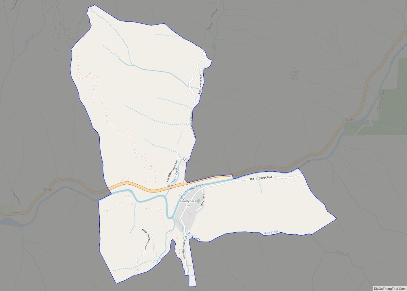
Map of Granite Bay CDP

Map of Granite Bay CDP

Granite Bay is a census-designated place (CDP) in Placer County, California, United States. It is part of the Sacramento–Arden-Arcade–Roseville Metropolitan Statistical Area. The population was 21,247 at the 2020 census, up from 20,402 at the 2010 census. The ZIP codes are 95746 and 95661. Granite Bay is a primarily residential suburb of Sacramento and is … Read more

Map of Grangeville CDP

Map of Grangeville CDP, California

Grangeville is a census-designated place (CDP) in Kings County, California, United States. It is part of the Hanford–Corcoran Metropolitan Statistical Area. The population was 469 at the 2010 Census. The community is located 3.5 miles (5.6 km) west-northwest of Hanford, at an elevation of 249 feet (76 m). A post office operated at Grangeville from 1874 to … Read more

Map of Grand Terrace city

Map of Grand Terrace city

Grand Terrace is a city in San Bernardino County, California, United States. The population was 12,040 at the 2010 census, up from 11,626 at the 2000 census. Grand Terrace is located between Highgrove and Colton, along the I-215 and Agua Mansa industrial corridors. The city is located between two mountain ridges: Blue Mountain to the … Read more

Map of Graniteville CDP

Map of Graniteville CDP, California

Graniteville (previously: Eureka and unofficially Eureka South) is a small, unincorporated community and census-designated place (CDP) located in Nevada County, California, United States. The town sits on the San Juan ridge separating the Middle and South Forks of the Yuba River, approximately 26 miles (42 km) northeast of Nevada City. The elevation of Graniteville is 4,977 … Read more

Map of Granite Hills CDP

Map of Granite Hills CDP

Granite Hills is a census-designated place in San Diego County, California. The name is also applied to a neighborhood within the city limits of El Cajon in the eastern part of that city. The population of the CDP, which does not include the people living within the city of El Cajon, was 3,035 at the … Read more

Map of Grass Valley city

Map of Grass Valley city, California

Grass Valley is a city in Nevada County, California, United States. Situated at roughly 2,500 feet (760 m) in elevation in the western foothills of the Sierra Nevada mountain range, this northern Gold Country city is 57 miles (92 km) by car from Sacramento, 64 miles (103 km) from Sacramento International Airport, 88 miles (142 km) west of Reno, … Read more

Map of Greeley Hill CDP

Map of Greeley Hill CDP

Greeley Hill is a census-designated place in Mariposa County, California, United States. Greeley Hill sits at an elevation of 3,153 feet (961 m) in the foothills of the Sierra Nevada. The 2020 United States census reported Greeley Hill’s population as 927. Greeley Hill CDP overview: Name: Greeley Hill CDP LSAD Code: 57 LSAD Description: CDP (suffix) … Read more

Map of Grayson CDP

Map of Grayson CDP, California

Grayson is a unincorporated community in Stanislaus County, California, United States. The population was 952 at the 2010 census, down from 1,077 at the 2000 census. For statistical purposes, the United States Census Bureau has defined Grayson as a census-designated place (CDP). It is part of the Modesto Metropolitan Statistical Area. Grayson CDP overview: Name: … Read more

Map of Graton CDP

Map of Graton CDP

Graton is an unincorporated town and census-designated place (CDP) in west Sonoma County, California, United States. The population was 1,707 at the 2010 census. Graton’s ZIP code is 95444. The town also has a culinary reputation attributed to two restaurants in the area. The town of Graton is roughly 20 miles from the California coastline. … Read more

Map of Greenacres CDP

Map of Greenacres CDP, California

Greenacres (formerly, Green Acres) is a census-designated place in Kern County, California. It is located 6.25 miles (10 km) west of Bakersfield, at an elevation of 381 feet (116 m). The population was 5,566 at the 2010 census. Greenacres was founded in 1930. Greenacres CDP overview: Name: Greenacres CDP LSAD Code: 57 LSAD Description: CDP (suffix) State: … Read more

Map of Green Valley CDP, California

Map of Green Valley CDP, California

Green Valley is a census-designated place (CDP) located in Solano County, California, United States. It sits in the northeast corner of the San Francisco Bay Area and is located approximately 45 miles (72 km) from Sacramento, approximately 38 miles (61 km) from San Francisco, approximately 32 miles (51 km) from Oakland, less than 15 miles (24 km) from Napa … Read more

Map of Green Acres CDP

Map of Green Acres CDP, California

Green Acres is a census-designated place in Riverside County, California. Green Acres sits at an elevation of 1,555 feet (474 m). The 2010 United States census reported Green Acres’s population was 1,805. Green Acres CDP overview: Name: Green Acres CDP LSAD Code: 57 LSAD Description: CDP (suffix) State: California County: Riverside County Elevation: 1,555 ft (474 m) Total … Read more