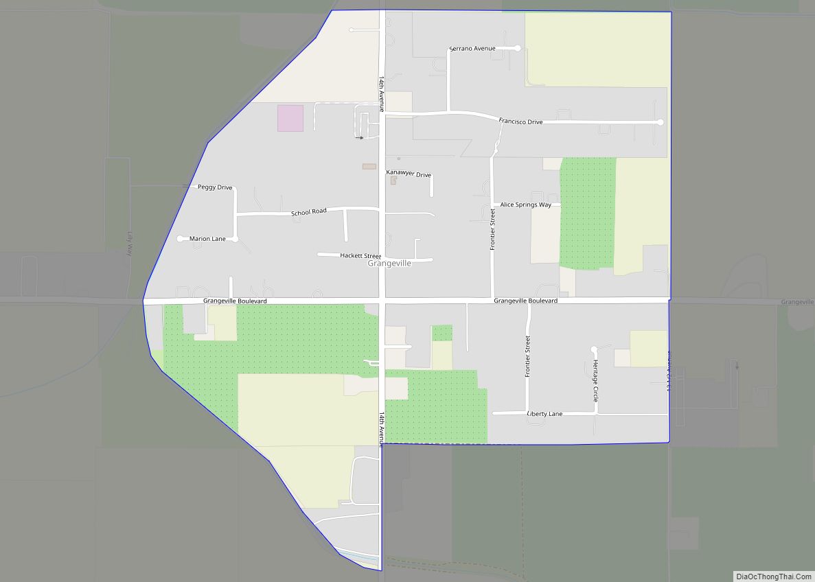
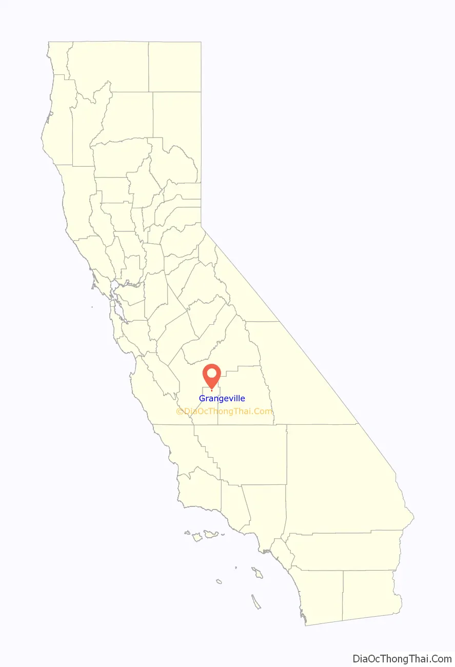
Grangeville is a census-designated place (CDP) in Kings County, California, United States. It is part of the Hanford–Corcoran Metropolitan Statistical Area. The population was 469 at the 2010 Census. The community is located 3.5 miles (5.6 km) west-northwest of Hanford, at an elevation of 249 feet (76 m).
A post office operated at Grangeville from 1874 to 1920.
Grangeville was founded in 1874 by James A. Hackett and Peter Kanawyer. It is the oldest existing community in Kings County. When the Southern Pacific Railroad bypassed Grangeville in 1876, the thriving new community dwindled in size and importance.
| Name: | Grangeville CDP |
|---|---|
| LSAD Code: | 57 |
| LSAD Description: | CDP (suffix) |
| State: | California |
| County: | Kings County |
| Elevation: | 249 ft (76 m) |
| Total Area: | 0.640 sq mi (1.657 km²) |
| Land Area: | 0.640 sq mi (1.657 km²) |
| Water Area: | 0 sq mi (0 km²) 0% |
| Total Population: | 469 |
| Population Density: | 730/sq mi (280/km²) |
| ZIP code: | 93230 |
| Area code: | 559 |
| FIPS code: | 0630686 |
Online Interactive Map
Click on ![]() to view map in "full screen" mode.
to view map in "full screen" mode.
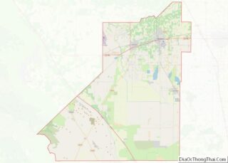
Grangeville location map. Where is Grangeville CDP?

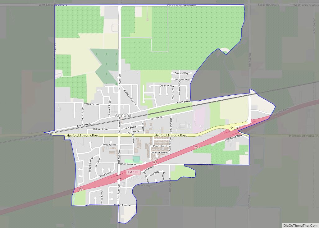
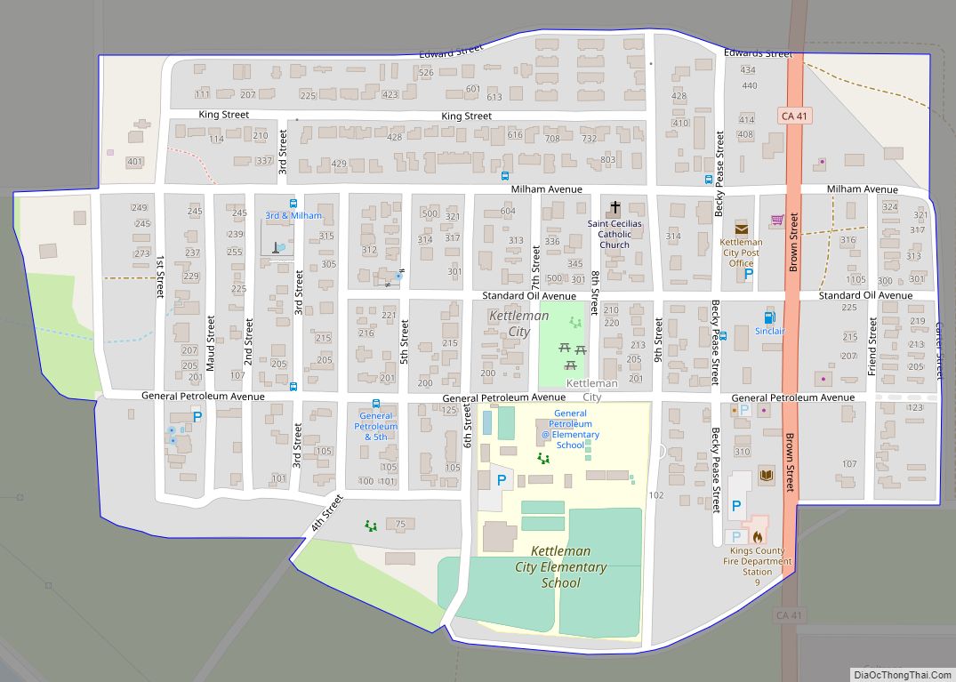
Grangeville Road Map

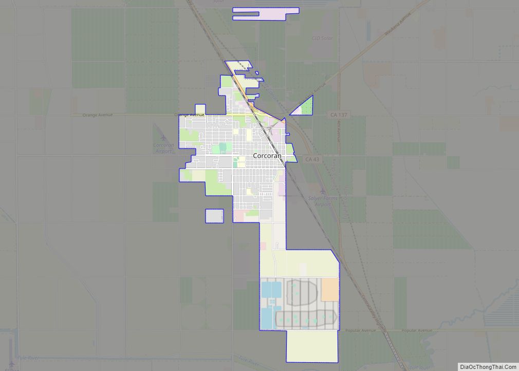
Grangeville city Satellite Map

See also
Map of California State and its subdivision:- Alameda
- Alpine
- Amador
- Butte
- Calaveras
- Colusa
- Contra Costa
- Del Norte
- El Dorado
- Fresno
- Glenn
- Humboldt
- Imperial
- Inyo
- Kern
- Kings
- Lake
- Lassen
- Los Angeles
- Madera
- Marin
- Mariposa
- Mendocino
- Merced
- Modoc
- Mono
- Monterey
- Napa
- Nevada
- Orange
- Placer
- Plumas
- Riverside
- Sacramento
- San Benito
- San Bernardino
- San Diego
- San Francisco
- San Joaquin
- San Luis Obispo
- San Mateo
- Santa Barbara
- Santa Clara
- Santa Cruz
- Shasta
- Sierra
- Siskiyou
- Solano
- Sonoma
- Stanislaus
- Sutter
- Tehama
- Trinity
- Tulare
- Tuolumne
- Ventura
- Yolo
- Yuba
- Alabama
- Alaska
- Arizona
- Arkansas
- California
- Colorado
- Connecticut
- Delaware
- District of Columbia
- Florida
- Georgia
- Hawaii
- Idaho
- Illinois
- Indiana
- Iowa
- Kansas
- Kentucky
- Louisiana
- Maine
- Maryland
- Massachusetts
- Michigan
- Minnesota
- Mississippi
- Missouri
- Montana
- Nebraska
- Nevada
- New Hampshire
- New Jersey
- New Mexico
- New York
- North Carolina
- North Dakota
- Ohio
- Oklahoma
- Oregon
- Pennsylvania
- Rhode Island
- South Carolina
- South Dakota
- Tennessee
- Texas
- Utah
- Vermont
- Virginia
- Washington
- West Virginia
- Wisconsin
- Wyoming