Grass Valley is a city in Nevada County, California, United States. Situated at roughly 2,500 feet (760 m) in elevation in the western foothills of the Sierra Nevada mountain range, this northern Gold Country city is 57 miles (92 km) by car from Sacramento, 64 miles (103 km) from Sacramento International Airport, 88 miles (142 km) west of Reno, and 143 miles (230 km) northeast of San Francisco. As of the 2010 United States Census, its population was 12,860.
| Name: | Grass Valley city |
|---|---|
| LSAD Code: | 25 |
| LSAD Description: | city (suffix) |
| State: | California |
| County: | Nevada County |
| Incorporated: | March 13, 1893 |
| Elevation: | 2,411 ft (735 m) |
| Total Area: | 5.25 sq mi (13.59 km²) |
| Land Area: | 5.25 sq mi (13.59 km²) |
| Water Area: | 0.00 sq mi (0.00 km²) 0% |
| Total Population: | 12,860 |
| Population Density: | 2,441.80/sq mi (942.82/km²) |
| ZIP code: | 95945, 95949 |
| Area code: | 530 |
| FIPS code: | 0630798 |
| Website: | www.cityofgrassvalley.com/home |
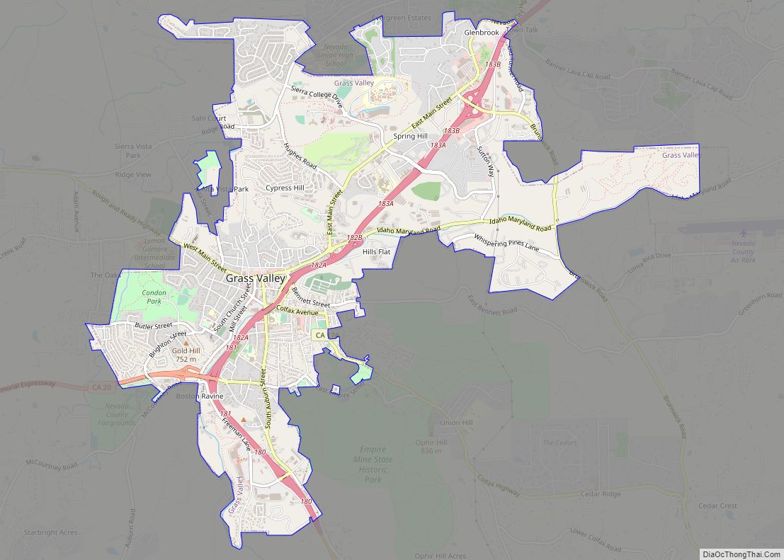
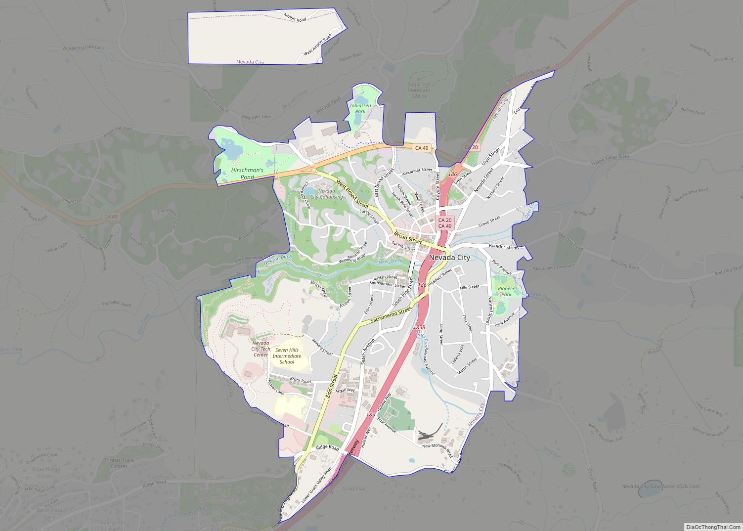
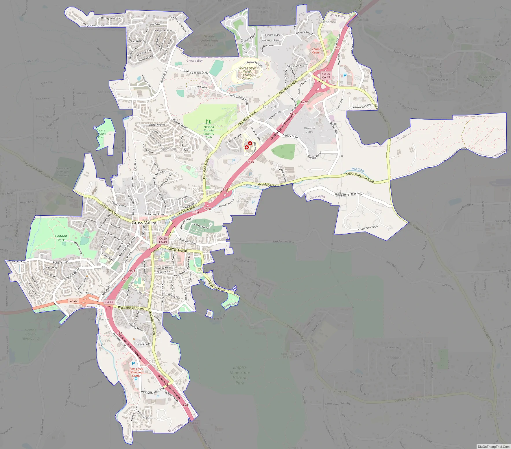
Online Interactive Map
Click on ![]() to view map in "full screen" mode.
to view map in "full screen" mode.
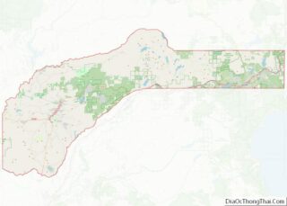
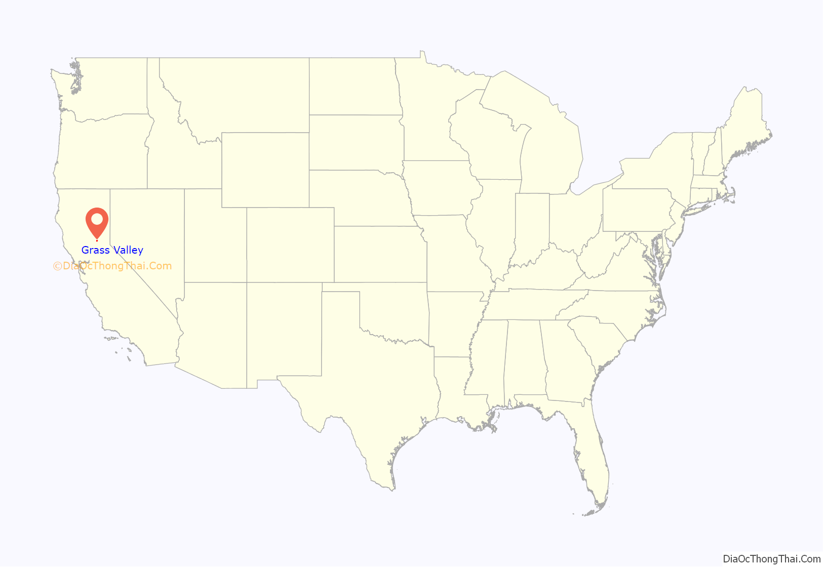
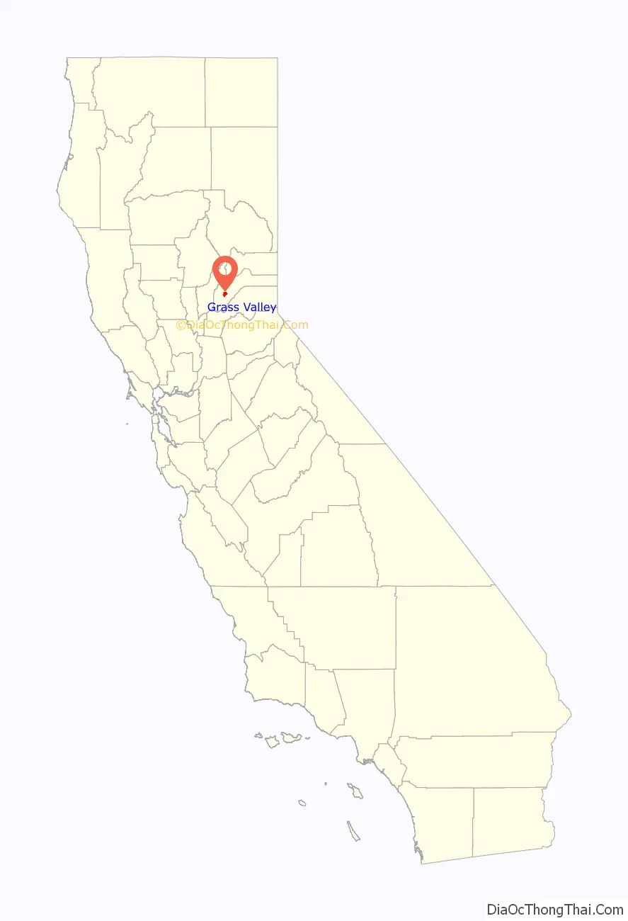
Grass Valley location map. Where is Grass Valley city?
History
Grass Valley, which was originally known as Boston Ravine and later named Centerville, dates from the California Gold Rush, as does nearby Nevada City. Gold was discovered at Gold Hill in October 1850 and population grew around the mine. When a post office was established in 1851, it was renamed Grass Valley the next year for unknown reasons. The town incorporated in 1860.
The essential history of Grass Valley mining belongs to the North Star, Empire and Idaho-Maryland mines, for continuous production over a span of years. From 1868 until 1900, the Idaho-Maryland mine was the most productive in the district. From 1900 until 1925, the North Star and the Empire produced the most gold in the county. In 1932, the Empire and North Star were physically connected at the 4600-foot level and 5300-foot level.
Grass Valley has the Empire Mine and North Star Mine, two of California’s richest mines. George Starr, manager of the Empire Mine, and William Bowers Bourn II, the owner, donated mine property which became Memorial Park. Wiliam Bourn Jr. had taken over management of the Empire Mine in 1878 after his father’s death, replacing water power with steam. In 1884, Bourn purchased and rejuvenated the North Star mine. The Idaho and Maryland mines were consolidated by Samuel P. Dorsey in 1893. In 1925, Errol MacBoyle acquired the Idaho-Maryland. By 1938, the Idaho-Maryland was the second largest gold producer in the country. However, gold mining operations in the area ended during WWII, due to War Production Board Limitation Order 208. After the war, renewed operations were attempted, but according to Gage McKinney, “…by the mid-1950s mining was no longer profitable in what had been the richest gold mining district in California.”
Many of those who came to settle in Grass Valley were tin miners from Cornwall, United Kingdom. Most arrived between 1860 and 1895, composing three quarters of Grass Valley’s population.
Grass Valley still holds on to its Cornish heritage, with events such as its annual Cornish Christmas and St Piran’s Day celebrations. Cornish pasties are a local favorite dish with a few restaurants in town specializing in recipes handed down from the original immigrant generation. Grass Valley is also twinned with Bodmin in Cornwall (UK).
There was formerly a (short-lived) Roman Catholic Diocese of Grass Valley in 1868-1884, later relocated in Sacramento (and now a titular see).
The Grass Valley K-Mart store was one of the nation’s few remaining still open and the last one in California. It closed in 2021.
Grass Valley Road Map
Grass Valley city Satellite Map

Geography
Grass Valley is located at 39°13′9″N 121°3′30″W / 39.21917°N 121.05833°W / 39.21917; -121.05833 (39.219215, -121.058414). According to the United States Census Bureau, the city has an area of 4.7 square miles (12 km), all of it land.
A variety of igneous and metamorphic rock supports Grass Valley. Granitic rock such as quartz diorite underlies the downtown core and extends south along Highway 49. Metavolcanic rock and diabase underlie areas around the granitic zone. Neighborhoods around Nevada County Golf Course and Sierra Nevada Memorial Hospital are underlain by ultramafic rock which supports infertile soils of the Dubakella series. Here the vegetation is sparse considering the high average annual precipitation, with much grassland, and forested areas are often dominated by several species of oaks and the crooked, thin-crowned gray pine. Luxuriant forest dominated by straight, dense ponderosa pine inhabits the more fertile soils, which include Musick series on granitic rock and Sites series on mafic or metamorphic rock.
Climate
Grass Valley has a hot-summer Mediterranean climate (Köppen Csa) with warm to hot, dry summers and wet, cool, rainy winters. Summer is very dry, but thunderstorms may occur. Winter rains contribute to a heavy fuel-loading of brush and grass, which dry out during the summer, posing a wildfire hazard. Snow occurs at times. Over the course of a year, 36.4 days of 90 °F (32 °C) or hotter and 0.9 days of 100 °F (38 °C) or hotter occur, with 61.4 days with minimum of 32 °F (0 °C) or colder.
See also
Map of California State and its subdivision:- Alameda
- Alpine
- Amador
- Butte
- Calaveras
- Colusa
- Contra Costa
- Del Norte
- El Dorado
- Fresno
- Glenn
- Humboldt
- Imperial
- Inyo
- Kern
- Kings
- Lake
- Lassen
- Los Angeles
- Madera
- Marin
- Mariposa
- Mendocino
- Merced
- Modoc
- Mono
- Monterey
- Napa
- Nevada
- Orange
- Placer
- Plumas
- Riverside
- Sacramento
- San Benito
- San Bernardino
- San Diego
- San Francisco
- San Joaquin
- San Luis Obispo
- San Mateo
- Santa Barbara
- Santa Clara
- Santa Cruz
- Shasta
- Sierra
- Siskiyou
- Solano
- Sonoma
- Stanislaus
- Sutter
- Tehama
- Trinity
- Tulare
- Tuolumne
- Ventura
- Yolo
- Yuba
- Alabama
- Alaska
- Arizona
- Arkansas
- California
- Colorado
- Connecticut
- Delaware
- District of Columbia
- Florida
- Georgia
- Hawaii
- Idaho
- Illinois
- Indiana
- Iowa
- Kansas
- Kentucky
- Louisiana
- Maine
- Maryland
- Massachusetts
- Michigan
- Minnesota
- Mississippi
- Missouri
- Montana
- Nebraska
- Nevada
- New Hampshire
- New Jersey
- New Mexico
- New York
- North Carolina
- North Dakota
- Ohio
- Oklahoma
- Oregon
- Pennsylvania
- Rhode Island
- South Carolina
- South Dakota
- Tennessee
- Texas
- Utah
- Vermont
- Virginia
- Washington
- West Virginia
- Wisconsin
- Wyoming