Graton is an unincorporated town and census-designated place (CDP) in west Sonoma County, California, United States. The population was 1,707 at the 2010 census. Graton’s ZIP code is 95444. The town also has a culinary reputation attributed to two restaurants in the area.
The town of Graton is roughly 20 miles from the California coastline. Graton’s agriculture was historically concentrated on apple farming, but like most of rural Sonoma County it now focuses on wine production.
| Name: | Graton CDP |
|---|---|
| LSAD Code: | 57 |
| LSAD Description: | CDP (suffix) |
| State: | California |
| County: | Sonoma County |
| Elevation: | 108 ft (33 m) |
| Total Area: | 1.579 sq mi (4.090 km²) |
| Land Area: | 1.579 sq mi (4.090 km²) |
| Water Area: | 0 sq mi (0 km²) 0% |
| Total Population: | 1,707 |
| Population Density: | 1,100/sq mi (420/km²) |
| ZIP code: | 95444 |
| Area code: | 707 |
| FIPS code: | 0630812 |
| GNISfeature ID: | 1658656 |
Online Interactive Map
Click on ![]() to view map in "full screen" mode.
to view map in "full screen" mode.
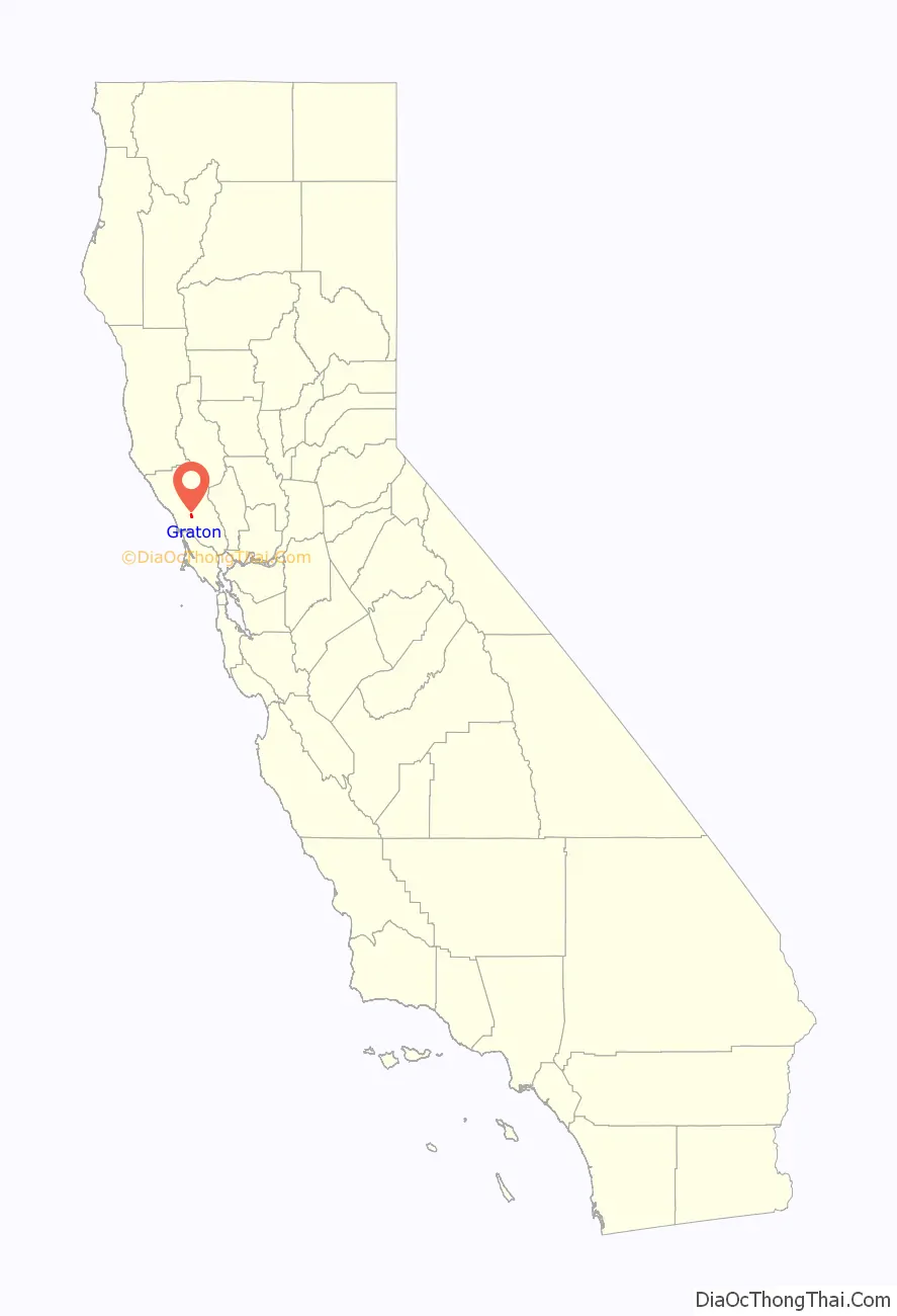
Graton location map. Where is Graton CDP?

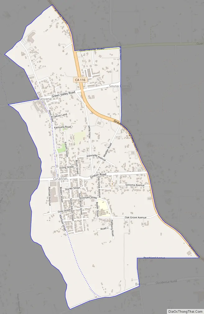
Graton Road Map
Graton city Satellite Map

Geography
Graton has a total area of 1.58 sq mi (4.1 km), all land.
Graton is located at the southeastern end of Green Valley, on the east bank of the seasonally flooding Atascadero Creek. The elevation ranges from approximately 85 feet (26 m) above Mean Sea Level (MSL) at Atascadero Creek to 213 feet (65 m) MSL at Oak Grove School.
Graton is noted as lying at the approximate furthest southern and eastern extent of Russian colonization of the Americas. Research on Fort Ross has indicated that several farms were developed inland from the coastal fur trading fort in northwestern Sonoma County. These farms or ranches were used for producing additional food and for agricultural projects conducted by Fort Ross’s agronomist Yegor Chernykh. In 1836, a farm was established along Purrington Creek, between what are now the towns of Occidental and Graton. There Chernykh erected barracks and five other structures, and grew vegetables, fruit, wheat, and other grains. Chernykh also developed a large vineyard, introducing what has since become a major crop in the area.
Climate
This region experiences warm (but not hot) and dry summers, with no average monthly temperatures above 71.6 °F. According to the Köppen Climate Classification system, Graton has a warm-summer Mediterranean climate, abbreviated “Csb” on climate maps.
See also
Map of California State and its subdivision:- Alameda
- Alpine
- Amador
- Butte
- Calaveras
- Colusa
- Contra Costa
- Del Norte
- El Dorado
- Fresno
- Glenn
- Humboldt
- Imperial
- Inyo
- Kern
- Kings
- Lake
- Lassen
- Los Angeles
- Madera
- Marin
- Mariposa
- Mendocino
- Merced
- Modoc
- Mono
- Monterey
- Napa
- Nevada
- Orange
- Placer
- Plumas
- Riverside
- Sacramento
- San Benito
- San Bernardino
- San Diego
- San Francisco
- San Joaquin
- San Luis Obispo
- San Mateo
- Santa Barbara
- Santa Clara
- Santa Cruz
- Shasta
- Sierra
- Siskiyou
- Solano
- Sonoma
- Stanislaus
- Sutter
- Tehama
- Trinity
- Tulare
- Tuolumne
- Ventura
- Yolo
- Yuba
- Alabama
- Alaska
- Arizona
- Arkansas
- California
- Colorado
- Connecticut
- Delaware
- District of Columbia
- Florida
- Georgia
- Hawaii
- Idaho
- Illinois
- Indiana
- Iowa
- Kansas
- Kentucky
- Louisiana
- Maine
- Maryland
- Massachusetts
- Michigan
- Minnesota
- Mississippi
- Missouri
- Montana
- Nebraska
- Nevada
- New Hampshire
- New Jersey
- New Mexico
- New York
- North Carolina
- North Dakota
- Ohio
- Oklahoma
- Oregon
- Pennsylvania
- Rhode Island
- South Carolina
- South Dakota
- Tennessee
- Texas
- Utah
- Vermont
- Virginia
- Washington
- West Virginia
- Wisconsin
- Wyoming


