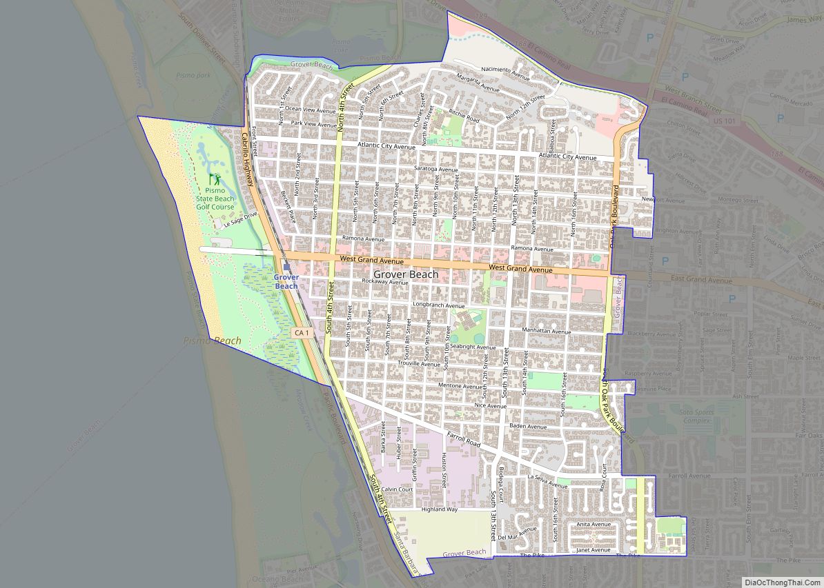
Map of Hacienda Heights CDP

Map of Hacienda Heights CDP

Hacienda Heights (pronunciation) is an unincorporated suburban community in Los Angeles County, California, United States. As of the 2010 census, the community had a total population of 54,038, up from 53,122 at the 2000 census. For statistical purposes, the Census Bureau has defined Hacienda Heights as a census designated place (CDP). It is the second … Read more

Map of Gustine city

Map of Gustine city, California

Gustine is a city in Merced County, California. Gustine is located 29 miles (47 km) west of Merced, at an elevation of 98 feet (30 m). At the 2020 census, the city population was 6,110, up from 5,520 at the 2010 census. Gustine city overview: Name: Gustine city LSAD Code: 25 LSAD Description: city (suffix) State: … Read more

Map of Guinda CDP

Map of Guinda CDP

Guinda (Spanish for “Sour cherry”) is a census-designated place in Yolo County, California. It is located in the Capay Valley, in the northwestern portion of the county, 13 miles (21 km) northwest of Esparto. Guinda’s ZIP Code is 95637 and the town is in area code 530. It lies at an elevation of 361 feet (110 … Read more

Map of Hamilton Branch CDP

Map of Hamilton Branch CDP

Hamilton Branch is a census-designated place (CDP) in Plumas County, California, United States. The population was 587 at the 2000 census. Hamilton Branch CDP overview: Name: Hamilton Branch CDP LSAD Code: 57 LSAD Description: CDP (suffix) State: California County: Plumas County Elevation: 4,626 ft (1,410 m) Total Area: 1.085 sq mi (2.811 km²) Land Area: 1.085 sq mi (2.811 km²) Water Area: 0 sq mi … Read more

Map of Half Moon Bay city

Map of Half Moon Bay city

Half Moon Bay is a coastal city in San Mateo County, California, United States, approximately 25 miles (40 kilometers) south of San Francisco. Its population was 11,795 as of the 2020 census. Immediately north of Half Moon Bay is Pillar Point Harbor and the unincorporated community of Princeton-by-the-Sea. Half Moon Bay is known for Mavericks, … Read more

Map of Hamilton City CDP

Map of Hamilton City CDP

Hamilton City (formerly, Hamilton) is a census-designated place (CDP) in Glenn County, California, United States. The population was 1,759 at the 2010 census, down from 1,903 at the 2000 census. Hamilton City is located 9.5 miles (15 km) east of Orland, and 10 miles west of Chico at an elevation of 151 feet (46 m). The … Read more

Map of Harbison Canyon CDP

Map of Harbison Canyon CDP

Harbison Canyon is a census-designated place (CDP) in San Diego County, California. Harbison Canyon had a population of 4,048 as of the 2020 census, up from 3,841 as of the 2010 census. Harbison Canyon CDP overview: Name: Harbison Canyon CDP LSAD Code: 57 LSAD Description: CDP (suffix) State: California County: San Diego County Elevation: 906 ft … Read more

Map of Happy Camp CDP

Map of Happy Camp CDP

Happy Camp (Karuk: athithúf-vuunupma) is a census-designated place (CDP) in Siskiyou County, California in the United States. Its population is 905 as of the 2020 census, down from 1,190 from the 2010 census. The town of Happy Camp “The Heart of the Klamath” is located on State Route 96, about 70 miles (110 km) west of … Read more

Map of Hanford city

Map of Hanford city

Hanford is the most populous city and the county seat of Kings County, California, located in the San Joaquin Valley region of the greater Central Valley. The population was 53,967 at the 2010 census. Hanford city overview: Name: Hanford city LSAD Code: 25 LSAD Description: city (suffix) State: California County: Kings County Incorporated: August 12, … Read more

Map of Hartley CDP

Map of Hartley CDP, California

Hartley is a census-designated place (CDP) in Solano County, California. Hartley sits at an elevation of 131 feet (40 m). The 2010 United States census reported Hartley’s population was 2,510. Hartley CDP overview: Name: Hartley CDP LSAD Code: 57 LSAD Description: CDP (suffix) State: California County: Solano County Elevation: 131 ft (40 m) Total Area: 6.505 sq mi (16.848 km²) Land … Read more

Map of Hartland CDP

Map of Hartland CDP, California

Hartland is a census-designated place (CDP) in Tulare County, California. Hartland sits at an elevation of 4,475 feet (1,364 m). The 2010 United States census reported Hartland’s population was 30. Hartland CDP overview: Name: Hartland CDP LSAD Code: 57 LSAD Description: CDP (suffix) State: California County: Tulare County Elevation: 4,475 ft (1,364 m) Total Area: 0.611 sq mi (1.582 km²) Land … Read more

Map of Hardwick CDP

Map of Hardwick CDP, California

Hardwick is a census-designated place (CDP) in Kings County, California, United States. It is part of the Hanford–Corcoran Metropolitan Statistical Area. The population was 138 at the 2010 Census. The village is located 6.5 miles (10 km) northwest of Hanford, at an elevation of 249 feet (76 m). Hardwick is in the San Joaquin Valley on Excelsior … Read more