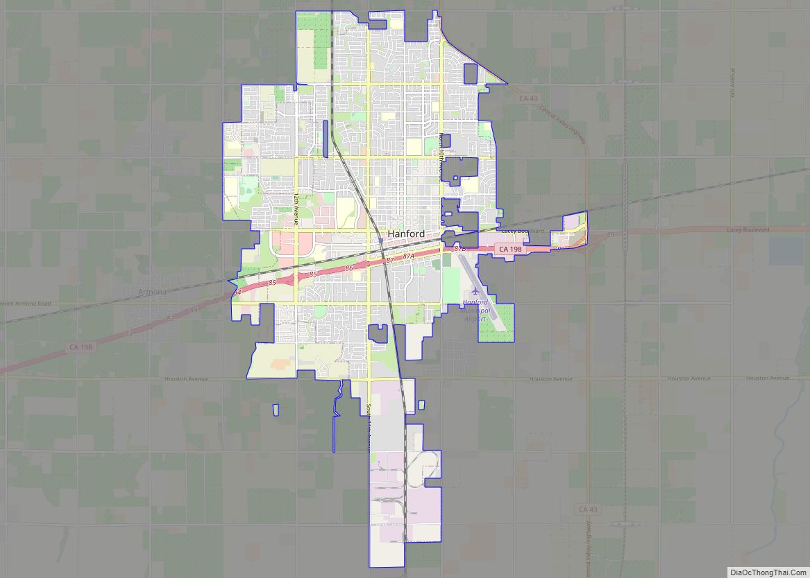
Hanford is the most populous city and the county seat of Kings County, California, located in the San Joaquin Valley region of the greater Central Valley. The population was 53,967 at the 2010 census.
| Name: | Hanford city |
|---|---|
| LSAD Code: | 25 |
| LSAD Description: | city (suffix) |
| State: | California |
| County: | Kings County |
| Incorporated: | August 12, 1891 |
| Elevation: | 249 ft (76 m) |
| Total Area: | 17.40 sq mi (45.07 km²) |
| Land Area: | 17.40 sq mi (45.07 km²) |
| Water Area: | 0.00 sq mi (0.00 km²) 0% |
| Total Population: | 53,967 |
| Population Density: | 3,315.69/sq mi (1,280.23/km²) |
| ZIP code: | 93230, 93232 |
| Area code: | 559 |
| FIPS code: | 0631960 |
| GNISfeature ID: | 1660714 |
| Website: | www.cityofhanfordca.com |
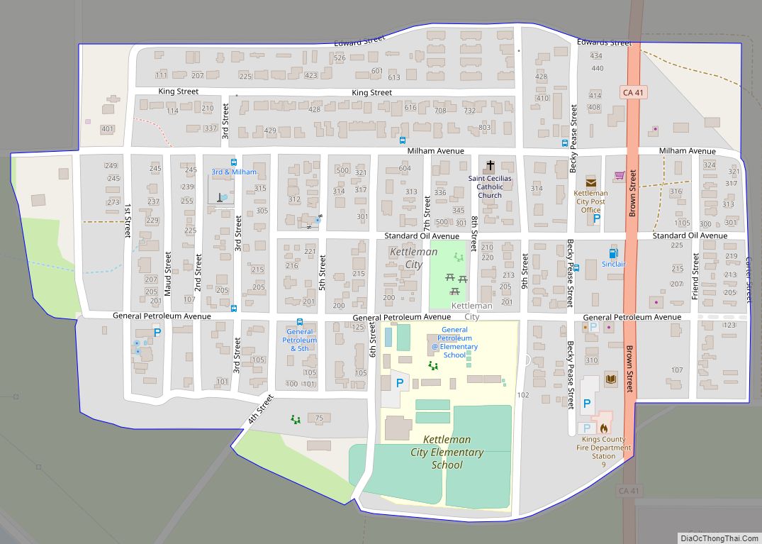
Online Interactive Map
Click on ![]() to view map in "full screen" mode.
to view map in "full screen" mode.
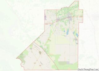
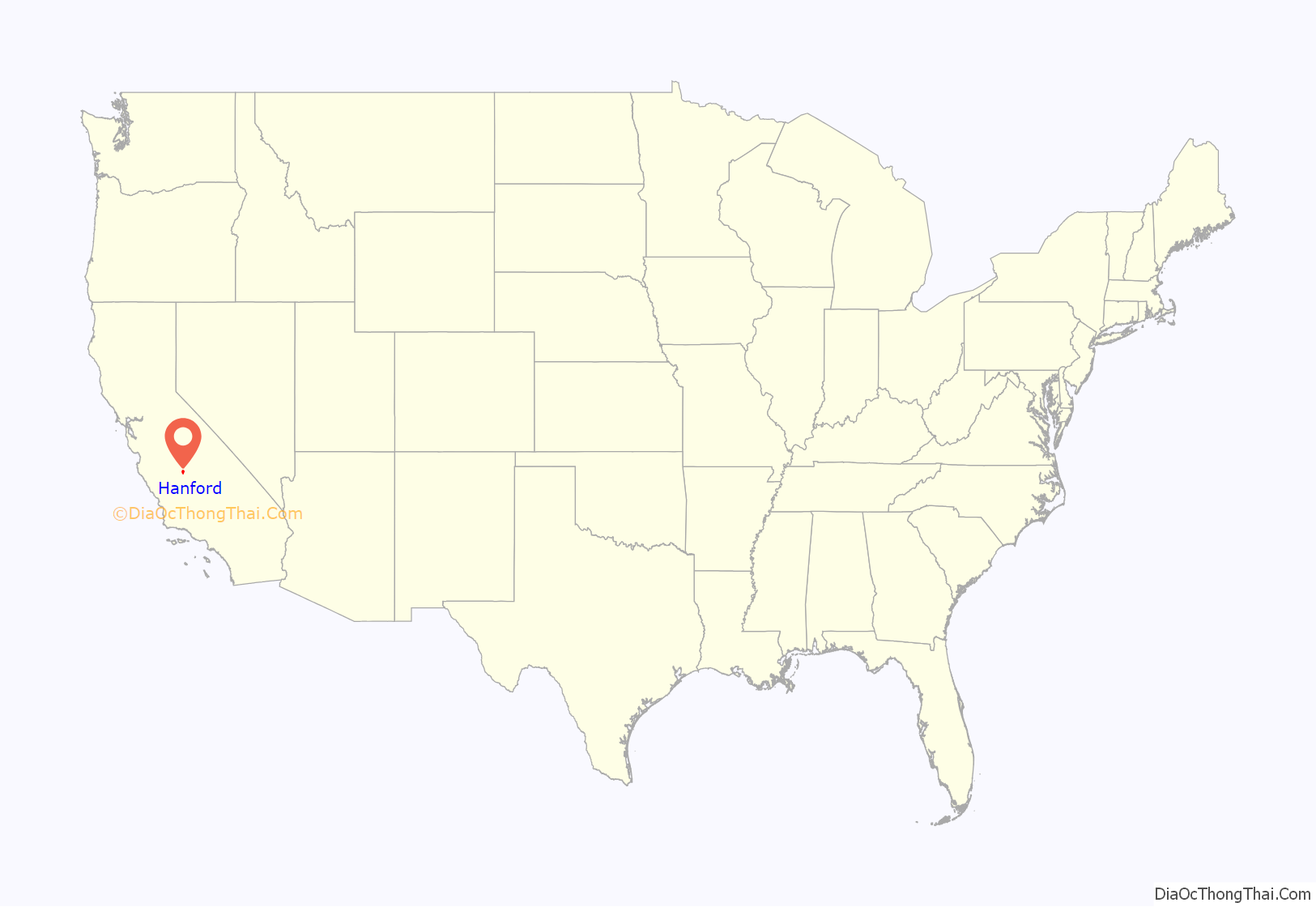
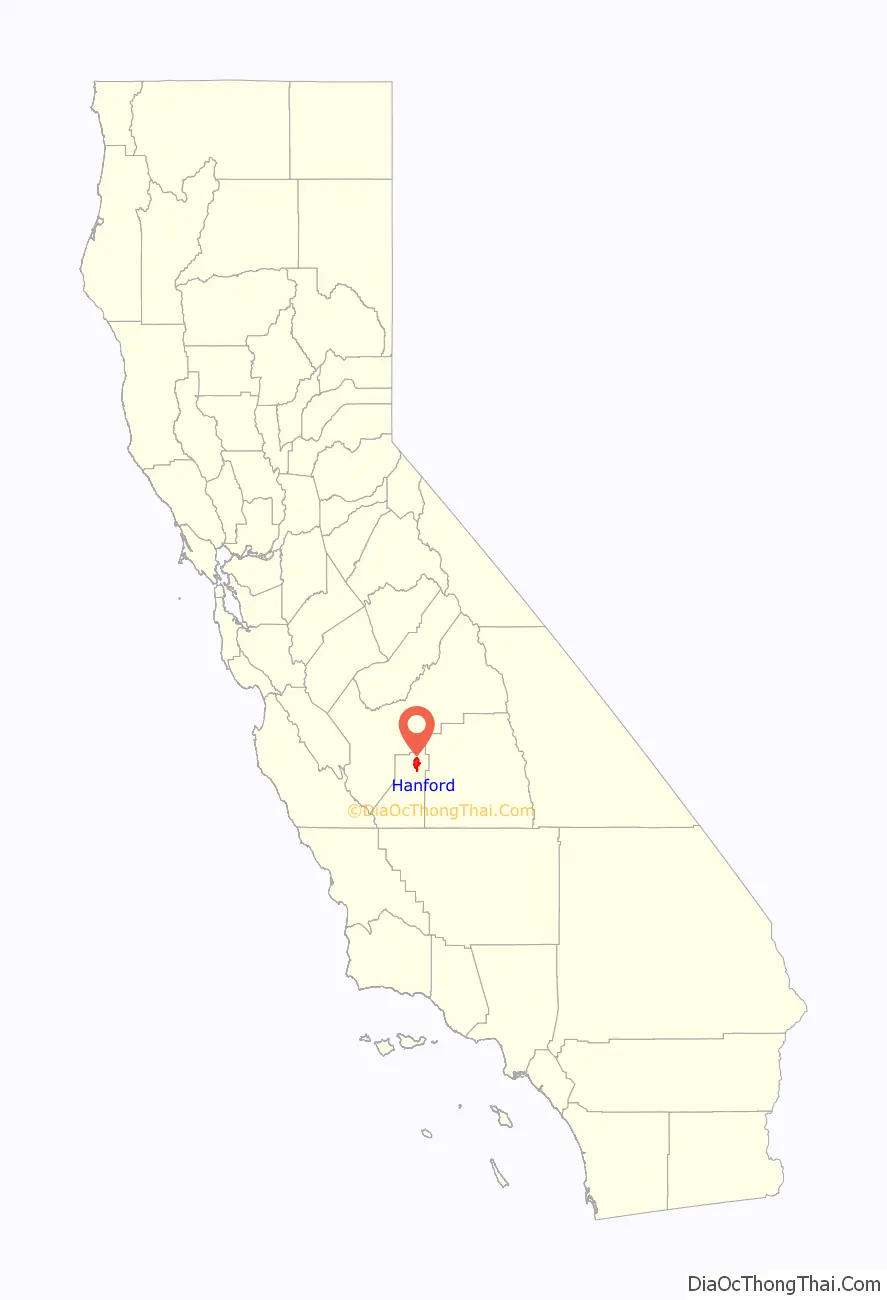
Hanford location map. Where is Hanford city?
History
Today’s Hanford was once north of Tulare Lake, historically the largest body of fresh water west of the Mississippi River. The area was inhabited by the Tachi Yokuts Indians for several thousand years prior to Euro-American contact. They occupied locations along watercourses such as creeks, springs and seep areas (such as sloughs), along perennial and seasonal drainages, as well as flat ridges and terraces.
Since the annexation of California after the Mexican-American War, the locality was settled by Americans and immigrants as farmland, broadly referred to as “Mussel Slough”. The earliest dated grave in the area was that of a young Alice Spangler who was initially buried in the Kings River Cemetery just north of her family’s farm in 1860. As the settlement grew, Tulare Lake’s feeding rivers were diverted for agricultural irrigation, causing it to gradually shrink and, over the 19th and 20th centuries, effectively become extinct.
From the mid-to-late 1870s, the Southern Pacific Railroad planned to lay tracks towards the developing farmland west of Visalia, spurring a growth in labor and population. Hanford’s namesake was James Madison Hanford, an executive for the company. The earliest known document labeling the settlement as “Hanford” is an 1876 map of Tulare County which once included the territory of present-day Kings County. Tracks were laid through a sheep camp in 1877. According to History of Kings County: “It was but a short step from sheep-camp to village and with the railroad as an attraction the village flourished and became a town within a few historic months.” Many of those working on the tracks were Chinese immigrants.
In 1877, Hanford began to appear in state newspapers, giving details of events in the town’s early days. In 1878, Hanford began running their own newspaper service and wiring called “The Public Good” which fed into other papers. In May 1878, Hanford residents drafted a resolve against the South Pacific Railroad from purchasing land with residing settlers. In June 1878, the Workingmen’s Party was reported to have a majority vote over the Democrats in the town.
In May 1878, the Upper Kings River Canal and Irrigation Company filed articles of incorporation. On August 1, California Governor candidates George Clement Perkins and Romualdo Pacheco (and on August 10, O F Thornton and W F White W P C) spoke in Hanford and Lemoore.
In May 1880, a dispute over land titles between settlers and the Southern Pacific Railroad resulted in a bloody gun battle on a farm 5.6 mi (9.0 km) northwest of Hanford that left seven men dead. This event became famous as the Mussel Slough Tragedy. The next month, the town’s first census was held counting some 269 residents. Forty-four of them were Chinese immigrants who resided in what’s known today as China Alley.
A post office was established in 1887.
On several occasions, major fires destroyed much of the young community’s business district. The need for fire protection led to the town becoming an incorporated city in 1891. Its first mayor was local resident Yamon LeBaron.
An electrical generating plant was built in 1891 by pioneering flour miller H.G. Lacey, bringing the first electric lights to the city. The Lacey Milling Company was still operating in Hanford in 2016.
The first public high school, Hanford Union High School, was started in 1892 with one teacher, W. S. Cranmer, and an average enrollment of fourteen.
When Kings County was created in 1893 from the western part of Tulare County, Hanford became its county seat.
A second railroad was laid through Hanford in 1897, which today is the main north–south line of the BNSF Railway through the San Joaquin Valley. The original east–west Southern Pacific Railroad branch line is now operated by the San Joaquin Valley Railroad.
Saloons flourished in Hanford’s early days despite an anti-saloon movement until the town voted to become “dry” in 1912, eight years before nationwide prohibition was enacted.
In the 1930s, famed pilot Amelia Earhart lived in Hanford to teach flying lessons at Fresno Chandler Airport. She befriended local resident and student of hers Mary Packwood with whom she gifted a personally-designed dress and left luggage shortly before her disappearance in the Pacific Ocean in 1937. The belongings are on display in Hanford’s Carnegie Museum.
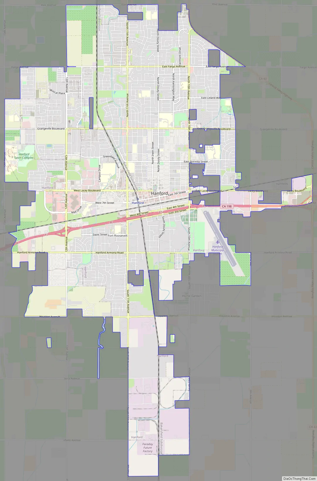
Hanford Road Map
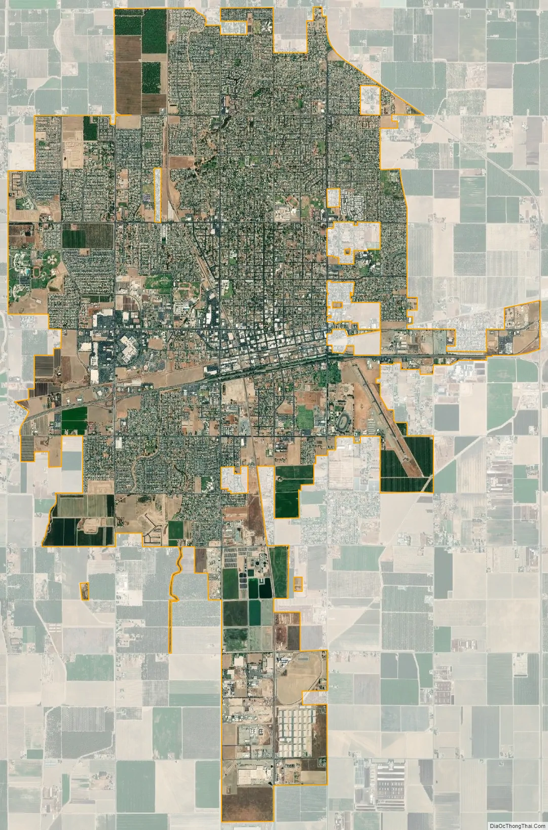
Hanford city Satellite Map
Geography
Hanford is located at 36°19′39″N 119°38′44″W / 36.32750°N 119.64556°W / 36.32750; -119.64556 (36.3275, −119.6457). It is situated in the south-central portion of California’s San Joaquin Valley, 28 miles (45 km) south-southeast of the city of Fresno and 18 miles (29 km) west of the city of Visalia. The city is 249 feet (76 m) above sea level and has a flat terrain. According to the United States Census Bureau, the city has a total area of 16.6 square miles (43 km), all land. The only natural watercourse is Mussel Slough, remnants of which still exist on the city’s western edge. The Kings River is about 6.5 miles (10.5 km) north of Hanford. The People’s Ditch, an irrigation canal dug in the 1870s, traverses Hanford from north to south.
Climate
Hanford’s land was once a drainage basin for Tulare Lake. Today it has a climate typical of the San Joaquin Valley floor with hot, dry summers and cool winters characterized by dense Tule fog. The wetter season occurs from November through March. The average annual rainfall over the ten years from 1997/98 through 2006/07 was 8.97 inches (228 mm). The 30-year normal precipitation (1971–2000) is 8.29 inches (211 mm).
The National Weather Service Forecast Office for the San Joaquin Valley is in Hanford and includes a Doppler weather radar. Weather forecasts and climatological information for Hanford and the surrounding area are available from its official website.
- ^ Mean monthly maxima and minima (i.e. the expected highest and lowest temperature readings at any point during the year or given month) calculated based on data at said location from 1981 to 2010.
- ^ Records maintained at three stations in Hanford before April 27, 1998, and at Hanford Municipal Airport since that date.
See also
Map of California State and its subdivision:- Alameda
- Alpine
- Amador
- Butte
- Calaveras
- Colusa
- Contra Costa
- Del Norte
- El Dorado
- Fresno
- Glenn
- Humboldt
- Imperial
- Inyo
- Kern
- Kings
- Lake
- Lassen
- Los Angeles
- Madera
- Marin
- Mariposa
- Mendocino
- Merced
- Modoc
- Mono
- Monterey
- Napa
- Nevada
- Orange
- Placer
- Plumas
- Riverside
- Sacramento
- San Benito
- San Bernardino
- San Diego
- San Francisco
- San Joaquin
- San Luis Obispo
- San Mateo
- Santa Barbara
- Santa Clara
- Santa Cruz
- Shasta
- Sierra
- Siskiyou
- Solano
- Sonoma
- Stanislaus
- Sutter
- Tehama
- Trinity
- Tulare
- Tuolumne
- Ventura
- Yolo
- Yuba
- Alabama
- Alaska
- Arizona
- Arkansas
- California
- Colorado
- Connecticut
- Delaware
- District of Columbia
- Florida
- Georgia
- Hawaii
- Idaho
- Illinois
- Indiana
- Iowa
- Kansas
- Kentucky
- Louisiana
- Maine
- Maryland
- Massachusetts
- Michigan
- Minnesota
- Mississippi
- Missouri
- Montana
- Nebraska
- Nevada
- New Hampshire
- New Jersey
- New Mexico
- New York
- North Carolina
- North Dakota
- Ohio
- Oklahoma
- Oregon
- Pennsylvania
- Rhode Island
- South Carolina
- South Dakota
- Tennessee
- Texas
- Utah
- Vermont
- Virginia
- Washington
- West Virginia
- Wisconsin
- Wyoming