Happy Camp (Karuk: athithúf-vuunupma) is a census-designated place (CDP) in Siskiyou County, California in the United States. Its population is 905 as of the 2020 census, down from 1,190 from the 2010 census.
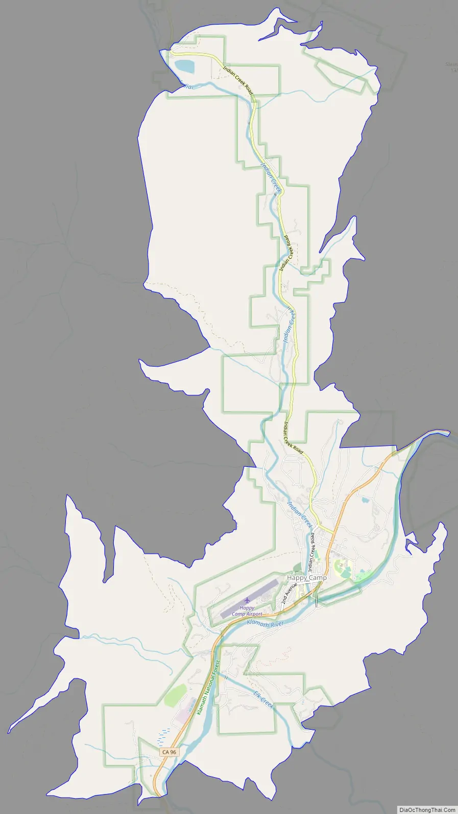
The town of Happy Camp “The Heart of the Klamath” is located on State Route 96, about 70 miles (110 km) west of Interstate 5 and 100 miles (160 km) northeast of Willow Creek. The town of Takilma, Oregon is accessible from Happy Camp (which is nearly 40 miles (64 km) away). The shortest route to Oregon, over the Grey Back pass, is a seasonal summer road and is not cleared or maintained in snowy conditions. The Forest Service, located in Happy Camp on SR 96, provides road closure information.
| Name: | Happy Camp CDP |
|---|---|
| LSAD Code: | 57 |
| LSAD Description: | CDP (suffix) |
| State: | California |
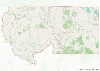
| County: | Siskiyou County |
| Elevation: | 1,660 ft (505 m) |
| Total Area: | 12.346 sq mi (31.976 km²) |
| Land Area: | 12.107 sq mi (31.357 km²) |
| Water Area: | 0.239 sq mi (0.619 km²) 1.94% |
| Total Population: | 905 |
| Population Density: | 73/sq mi (28/km²) |
| ZIP code: | 96039 |
| Area code: | 530 |
| FIPS code: | 0632030 |
Online Interactive Map
Click on ![]() to view map in "full screen" mode.
to view map in "full screen" mode.
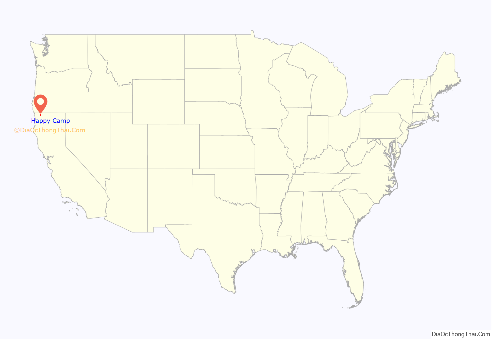
Happy Camp location map. Where is Happy Camp CDP?

Happy Camp Road Map
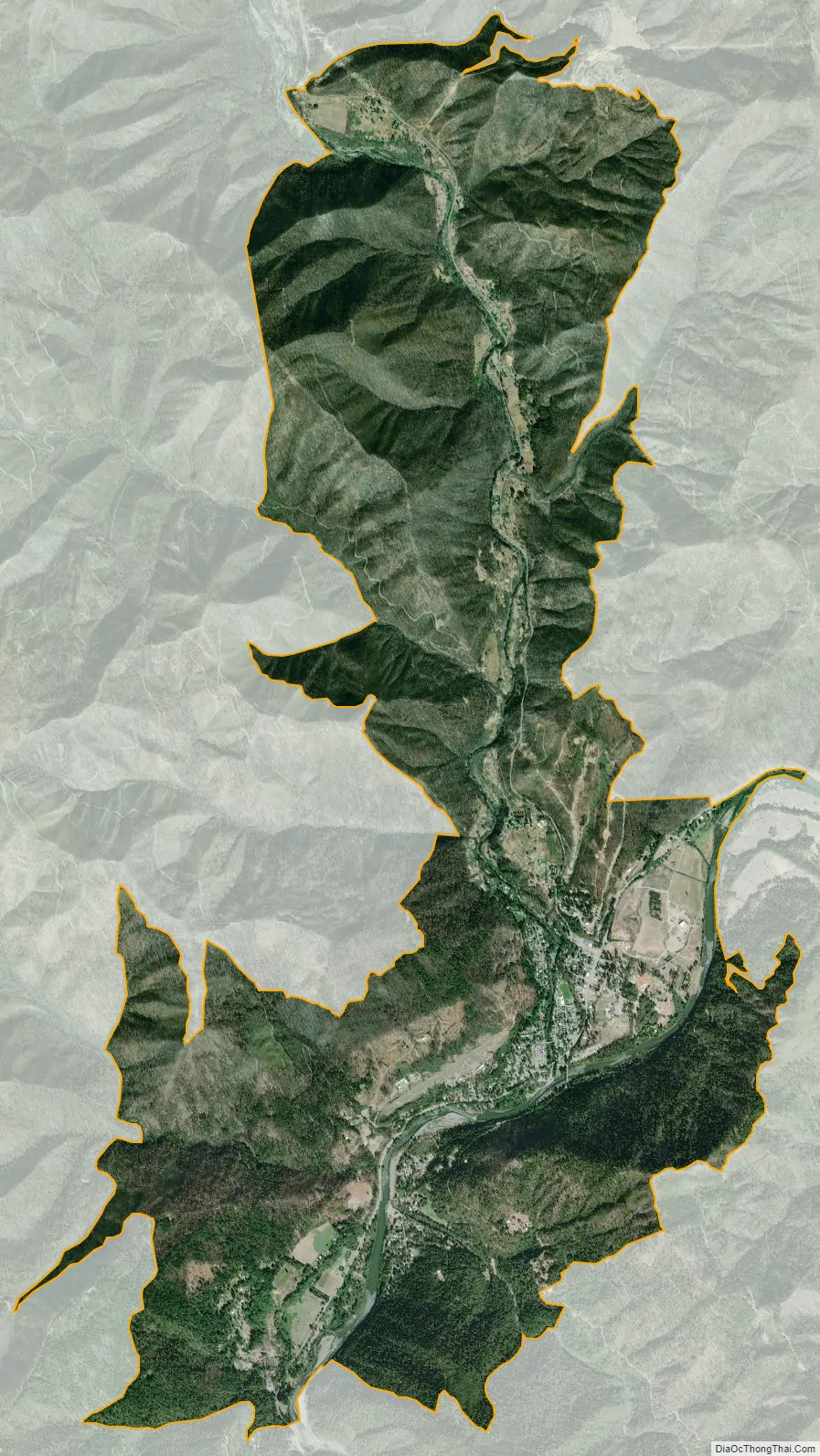
Happy Camp city Satellite Map
Geography
Happy Camp sits on the Klamath River and a nexus of creeks including Elk Creek, Little Grider Creek, Indian Creek, Doolittle Creek, Ikes Creek, Deer Lick Creek and Cade Creek.
According to the United States Census Bureau, the CDP covers an area of 12.3 square miles (32 km), 12.1 square miles (31 km) of it is land and 0.2 square miles (0.52 km) of it (1.94%) is water.
The town of Happy Camp is also known as the “Gateway to the Marbles”. There are many trail heads for this Wilderness Area within 10 miles (16 km) of the town for which the U.S. Forest Service provides trail information. The Marble Mountains cover thousands of acres, and contain almost a hundred lakes. Among the most interesting lakes are Spirit Lake, which contains a luminescent chemical and has been seen to “glow” in the dark; Ukonom Lake, which is very large and beautiful even though the area is recovering from fire damage; and the Green and Blue Granite Lakes, where trout swim in the cold and clear waters. Deer, bear, elk, and mountain lion are common in the Wilderness Area.
See also
Map of California State and its subdivision:- Alameda
- Alpine
- Amador
- Butte
- Calaveras
- Colusa
- Contra Costa
- Del Norte
- El Dorado
- Fresno
- Glenn
- Humboldt
- Imperial
- Inyo
- Kern
- Kings
- Lake
- Lassen
- Los Angeles
- Madera
- Marin
- Mariposa
- Mendocino
- Merced
- Modoc
- Mono
- Monterey
- Napa
- Nevada
- Orange
- Placer
- Plumas
- Riverside
- Sacramento
- San Benito
- San Bernardino
- San Diego
- San Francisco
- San Joaquin
- San Luis Obispo
- San Mateo
- Santa Barbara
- Santa Clara
- Santa Cruz
- Shasta
- Sierra
- Siskiyou
- Solano
- Sonoma
- Stanislaus
- Sutter
- Tehama
- Trinity
- Tulare
- Tuolumne
- Ventura
- Yolo
- Yuba
- Alabama
- Alaska
- Arizona
- Arkansas
- California
- Colorado
- Connecticut
- Delaware
- District of Columbia
- Florida
- Georgia
- Hawaii
- Idaho
- Illinois
- Indiana
- Iowa
- Kansas
- Kentucky
- Louisiana
- Maine
- Maryland
- Massachusetts
- Michigan
- Minnesota
- Mississippi
- Missouri
- Montana
- Nebraska
- Nevada
- New Hampshire
- New Jersey
- New Mexico
- New York
- North Carolina
- North Dakota
- Ohio
- Oklahoma
- Oregon
- Pennsylvania
- Rhode Island
- South Carolina
- South Dakota
- Tennessee
- Texas
- Utah
- Vermont
- Virginia
- Washington
- West Virginia
- Wisconsin
- Wyoming