Gustine is a city in Merced County, California. Gustine is located 29 miles (47 km) west of Merced, at an elevation of 98 feet (30 m). At the 2020 census, the city population was 6,110, up from 5,520 at the 2010 census.
| Name: | Gustine city |
|---|---|
| LSAD Code: | 25 |
| LSAD Description: | city (suffix) |
| State: | California |
| County: | Merced County |
| Incorporated: | November 11, 1915 |
| Elevation: | 98 ft (30 m) |
| Total Area: | 1.55 sq mi (4.0 km²) |
| Land Area: | 1.55 sq mi (4.0 km²) |
| Water Area: | 0.00 sq mi (0.0 km²) 0% |
| Total Population: | 6,110 |
| Population Density: | 3,939.39/sq mi (1,521.01/km²) |
| ZIP code: | 95322 |
| Area code: | 209 |
| FIPS code: | 0631568 |
| GNISfeature ID: | 1658690 |
| Website: | www.cityofgustine.com |
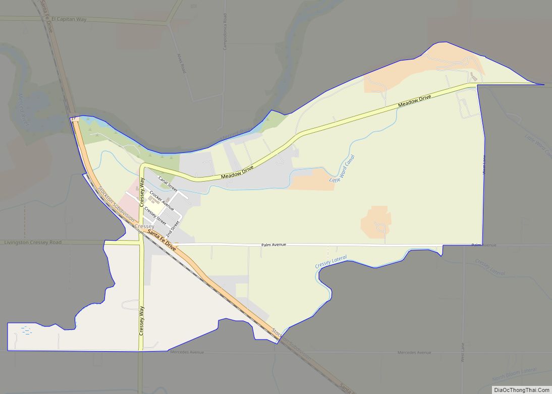
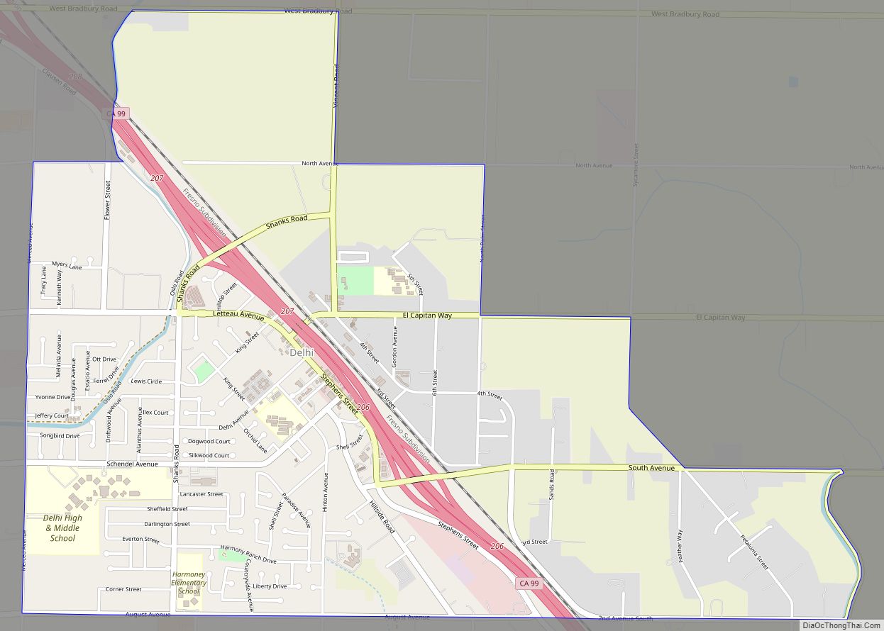
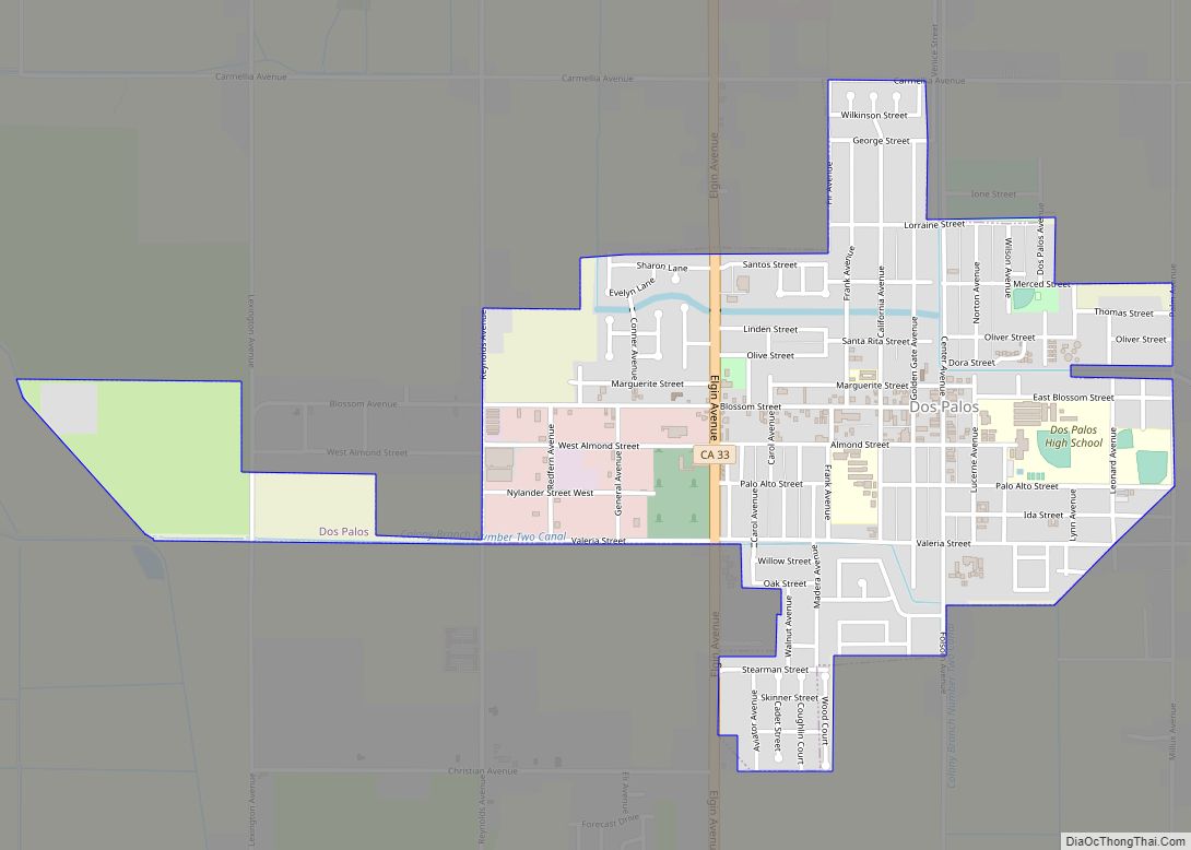
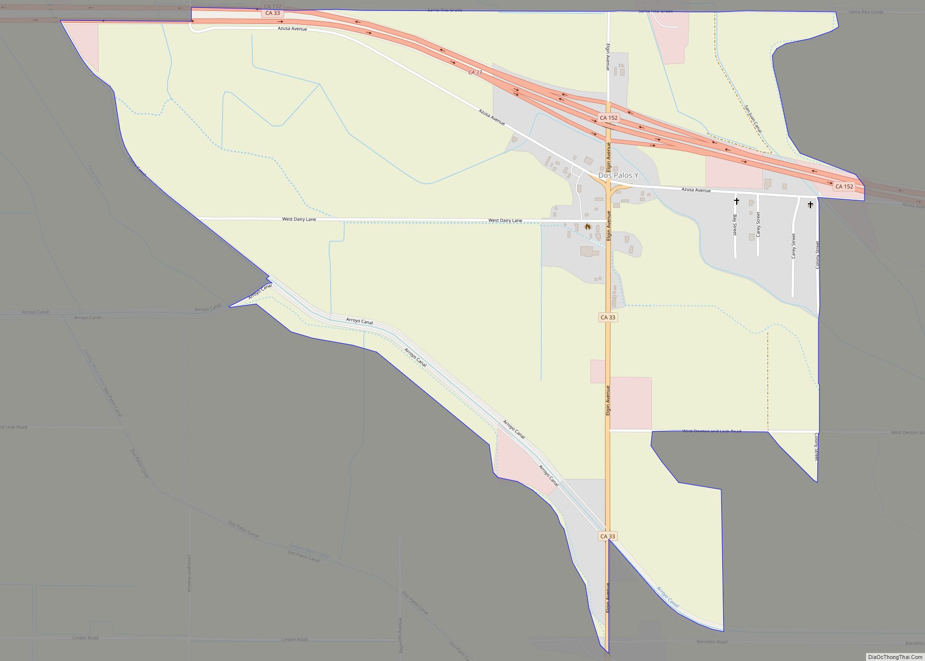
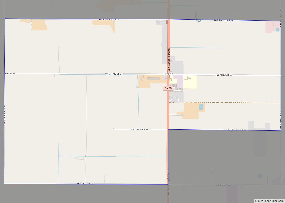
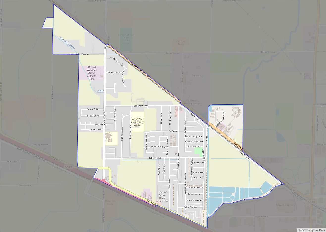
Online Interactive Map
Click on ![]() to view map in "full screen" mode.
to view map in "full screen" mode.
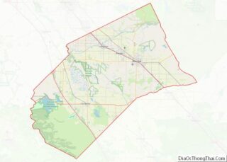
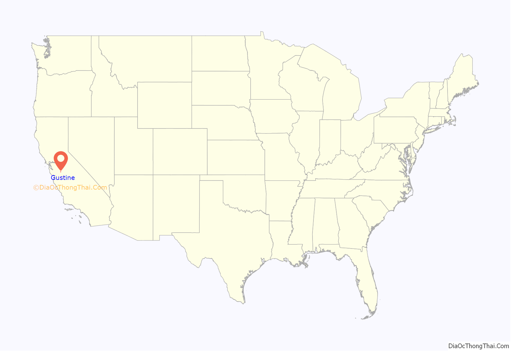
Gustine location map. Where is Gustine city?

History
Gustine was established in the early 1900s as a station on the Southern Pacific Railroad and named after Sara Miller, nicknamed “Gussie”, the daughter of Henry Miller, the “Cattle King”, an early California land baron and Agricultural pioneer. Little Sara, always getting “gussied up” with fancy clothes, was killed when she was thrown from her horse when she was eight years old. The first post office opened in 1907. The city was incorporated in 1915.
Gustine was the site of the first 9-1-1 system in California, installed in March 1970.
Gustine is home to the nation’s largest festa which is steeped in Portuguese tradition.
Gustine High School is home to the longest running basketball tournament in the state of California, which is put on by the city’s Rotary Club. The tournament has been put on by the Rotary Club and celebrated its 75th anniversary in 2017.
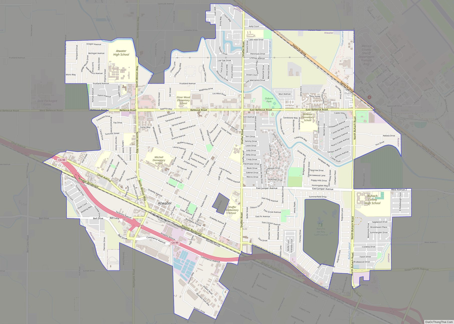
Gustine Road Map
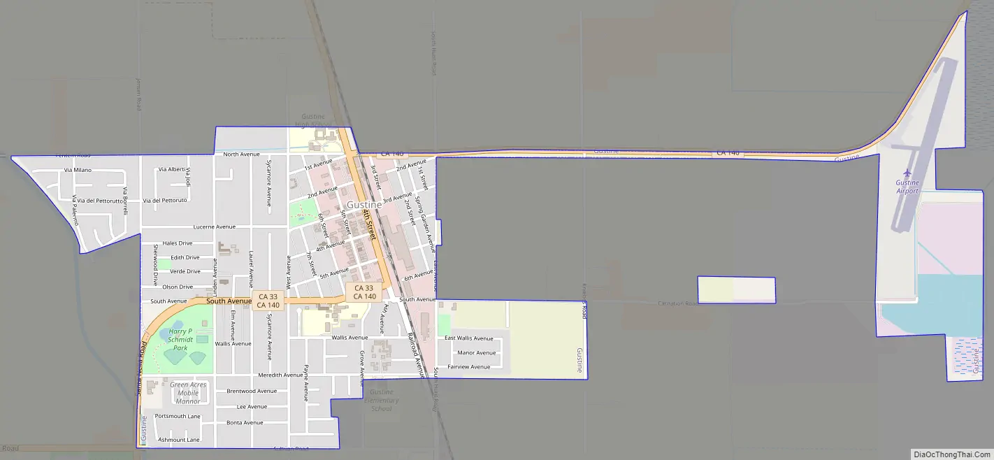
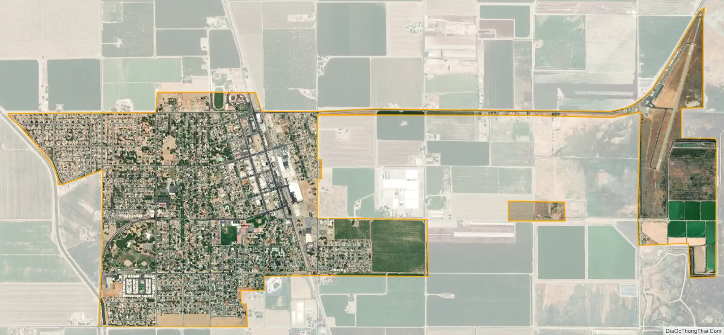
Gustine city Satellite Map
Geography
Gustine is located in the San Joaquin Valley at 37°15′28″N 120°59′56″W / 37.25778°N 120.99889°W / 37.25778; -120.99889 at an elevation of about 31 m (101 ft) above MSL.
According to the United States Census Bureau, the city has a total area of 1.6 square miles (4.1 km), all of it land.
Climate
This region experiences hot and dry summers, with no average monthly temperatures above 71.6 °F. According to the Köppen Climate Classification system, Gustine has a warm-summer Mediterranean climate, abbreviated “Csb” on climate maps.
See also
Map of California State and its subdivision:- Alameda
- Alpine
- Amador
- Butte
- Calaveras
- Colusa
- Contra Costa
- Del Norte
- El Dorado
- Fresno
- Glenn
- Humboldt
- Imperial
- Inyo
- Kern
- Kings
- Lake
- Lassen
- Los Angeles
- Madera
- Marin
- Mariposa
- Mendocino
- Merced
- Modoc
- Mono
- Monterey
- Napa
- Nevada
- Orange
- Placer
- Plumas
- Riverside
- Sacramento
- San Benito
- San Bernardino
- San Diego
- San Francisco
- San Joaquin
- San Luis Obispo
- San Mateo
- Santa Barbara
- Santa Clara
- Santa Cruz
- Shasta
- Sierra
- Siskiyou
- Solano
- Sonoma
- Stanislaus
- Sutter
- Tehama
- Trinity
- Tulare
- Tuolumne
- Ventura
- Yolo
- Yuba
- Alabama
- Alaska
- Arizona
- Arkansas
- California
- Colorado
- Connecticut
- Delaware
- District of Columbia
- Florida
- Georgia
- Hawaii
- Idaho
- Illinois
- Indiana
- Iowa
- Kansas
- Kentucky
- Louisiana
- Maine
- Maryland
- Massachusetts
- Michigan
- Minnesota
- Mississippi
- Missouri
- Montana
- Nebraska
- Nevada
- New Hampshire
- New Jersey
- New Mexico
- New York
- North Carolina
- North Dakota
- Ohio
- Oklahoma
- Oregon
- Pennsylvania
- Rhode Island
- South Carolina
- South Dakota
- Tennessee
- Texas
- Utah
- Vermont
- Virginia
- Washington
- West Virginia
- Wisconsin
- Wyoming