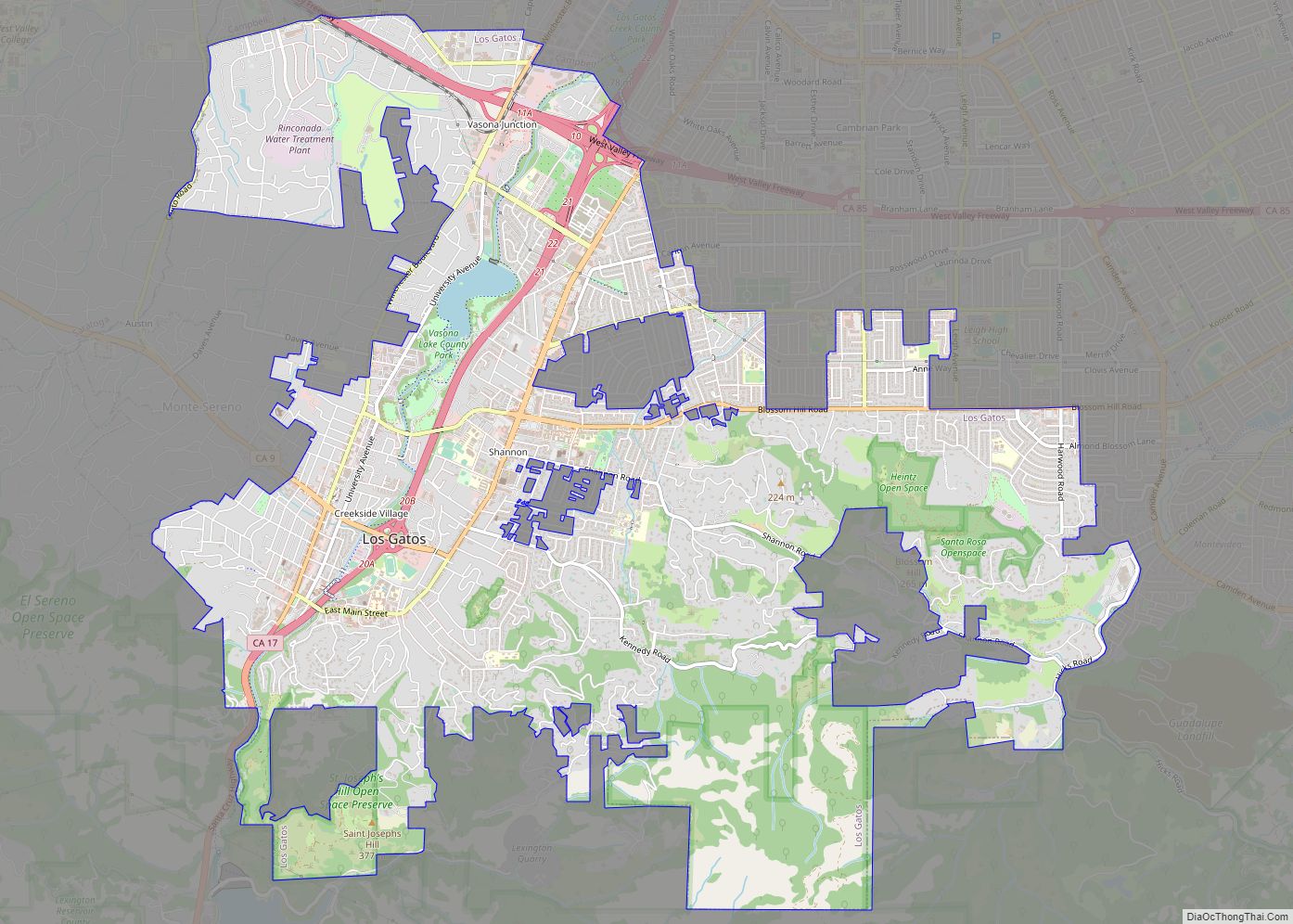
Map of Lost Hills CDP

Map of Lost Hills CDP

Lost Hills (formerly, Lost Hill) is a census-designated place (CDP) in Kern County, California, United States. Lost Hills is located 42 miles (68 km) west-northwest of Bakersfield, at an elevation of 305 feet (93 m). The population was 2,412 at the 2010 census, up from 1,938 at the 2000 census. About 75% of the population is engaged … Read more

Map of Los Ranchos CDP

Map of Los Ranchos CDP

Los Ranchos is a census-designated place in San Luis Obispo County, California. Los Ranchos sits at an elevation of 256 feet (78 m). The 2010 United States census reported Los Ranchos’s population was 1,477. Los Ranchos is an area of residential subdivisions surrounding the San Luis Obispo Country Club. It is located between the San Luis … Read more

Map of Los Osos CDP

Map of Los Osos CDP

Los Osos (Spanish for “the bears”) is an unincorporated town and census-designated place (CDP) in San Luis Obispo County, California. Located on the Central Coast of California, Los Osos had a population estimated to be 16,533 in 2019. Los Osos CDP overview: Name: Los Osos CDP LSAD Code: 57 LSAD Description: CDP (suffix) State: California … Read more

Map of Loyola CDP

Map of Loyola CDP

Loyola is a census-designated place in Santa Clara County, California, United States. The population was 3,491 at the 2020 census. The woodsy area is located between the cities of Los Altos and Los Altos Hills. It is the home of Facebook’s first headquarters. Homes in the area range from cottages to mansions. It is named … Read more

Map of Loyalton city

Map of Loyalton city

Loyalton is a city in Sierra County, California, United States. At the 2020 census, the population was 740, reflecting a decline of 29 from the 769 counted in 2010. The ZIP code for the community is 96118. The town is near the north extent of State Route 49, which ends at State Route 70 in … Read more

Map of Lower Lake CDP

Map of Lower Lake CDP

Lower Lake (formerly Grantville) is a census-designated place (CDP) in the southern Clear Lake region of Lake County, in northern California. Lower Lake is also an Indian rancheria of the Koi Nation people. Lower Lake CDP overview: Name: Lower Lake CDP LSAD Code: 57 LSAD Description: CDP (suffix) State: California County: Lake County Elevation: 1,371 ft … Read more

Map of Lucerne CDP

Map of Lucerne CDP, California

Lucerne (formerly Clear Lake Beach, located in the area called Sikom by the Eastern Pomo) is a census-designated place (CDP) in Lake County, California, United States. Lucerne is located 7.25 miles (12 km) east-northeast of Lakeport, at an elevation of 1329 feet (405 m). The population was 235 in 1871, 2,870 at the 2000 census and … Read more

Map of Lucerne Valley CDP

Map of Lucerne Valley CDP

Lucerne Valley is a census-designated place (CDP) and valley landform in the southern Mojave Desert, in western San Bernardino County, California. Lucerne Valley CDP overview: Name: Lucerne Valley CDP LSAD Code: 57 LSAD Description: CDP (suffix) State: California County: San Bernardino County Elevation: 2,953 ft (900 m) Total Area: 105.590 sq mi (273.477 km²) Land Area: 105.590 sq mi (273.477 km²) Water Area: … Read more

Map of Lucas Valley-Marinwood CDP

Map of Lucas Valley-Marinwood CDP

Lucas Valley-Marinwood is a census-designated place (CDP) in Marin County, California, United States. It includes the neighborhoods of Lucas Valley and Marinwood. As of the 2020 census, the population was 6,259. Lucas Valley-Marinwood CDP overview: Name: Lucas Valley-Marinwood CDP LSAD Code: 57 LSAD Description: CDP (suffix) State: California County: Marin County Elevation: 620 ft (189 m) Total … Read more

Map of Mabie CDP

Map of Mabie CDP

Mabie is a census-designated place in Plumas County, California, USA. Mabie sits at an elevation of 5,341 feet (1,628 m). Mabie is located on the Western Pacific Railroad, 5 miles (8.0 km) east of Blairsden. The 2010 United States census reported Mabie’s population was 161. Mabie CDP overview: Name: Mabie CDP LSAD Code: 57 LSAD Description: CDP … Read more

Map of Lytle Creek CDP

Map of Lytle Creek CDP

Lytle Creek is a census-designated place in the San Gabriel Mountains, within San Bernardino County. It is about 16 miles (26 km) northwest of downtown San Bernardino and 10 miles (16 km) from the cities of Fontana and Rialto. This small remote community is located in a large southeast-trending canyon on the eastern portion of the San … Read more

Map of Lynwood city

Map of Lynwood city, California

Lynwood is a city in Los Angeles County, California. At the 2010 census, the city had a total population of 69,772, down from 69,845 at the 2000 census. Lynwood is located near South Gate and Compton in the central portion of the Los Angeles Basin. Incorporated in 1921, Lynwood was the named after the Lynwood … Read more