Lower Lake (formerly Grantville) is a census-designated place (CDP) in the southern Clear Lake region of Lake County, in northern California. Lower Lake is also an Indian rancheria of the Koi Nation people.
| Name: | Lower Lake CDP |
|---|---|
| LSAD Code: | 57 |
| LSAD Description: | CDP (suffix) |
| State: | California |
| County: | Lake County |
| Elevation: | 1,371 ft (418 m) |
| Total Area: | 2.692 sq mi (6.971 km²) |
| Land Area: | 2.667 sq mi (6.907 km²) |
| Water Area: | 0.025 sq mi (0.064 km²) 0.92% |
| Total Population: | 1,294 |
| Population Density: | 480/sq mi (190/km²) |
| ZIP code: | 95457 |
| Area code: | 707 |
| FIPS code: | 0644350 |
| GNISfeature ID: | 0277549 |
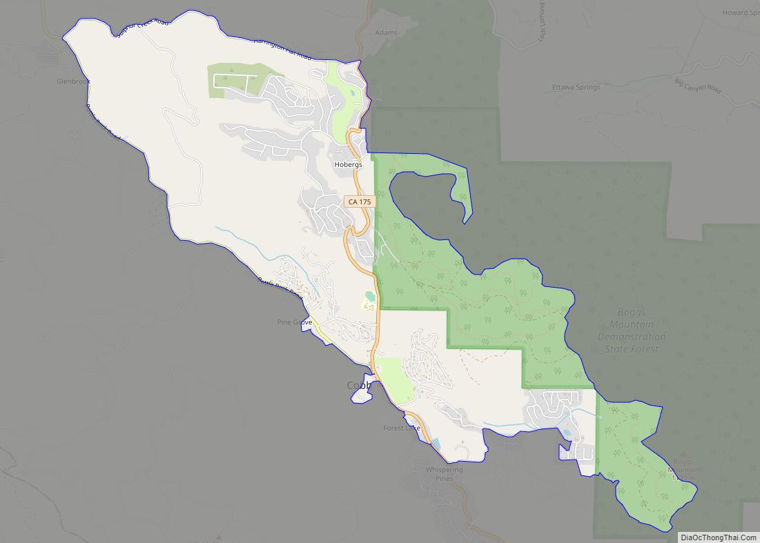
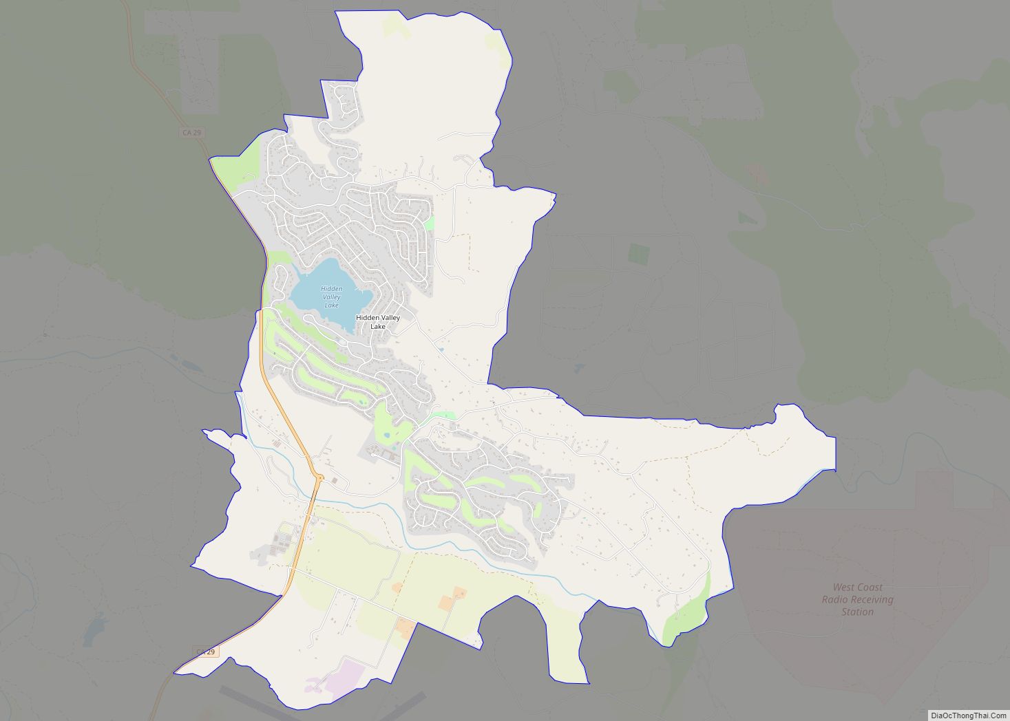
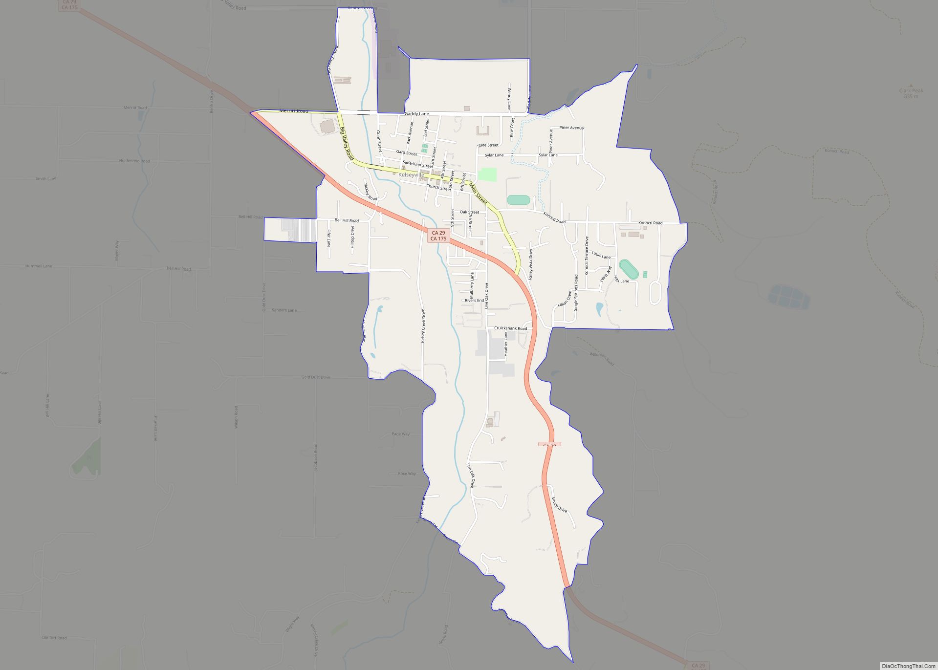
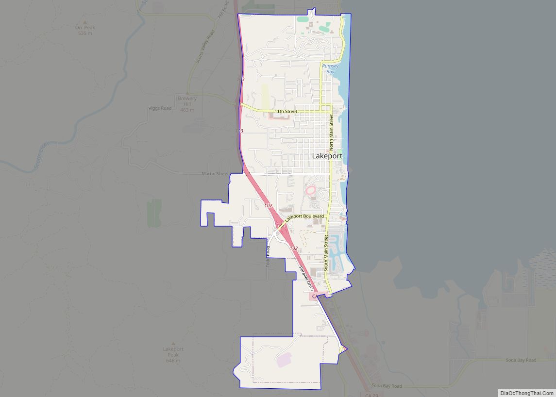
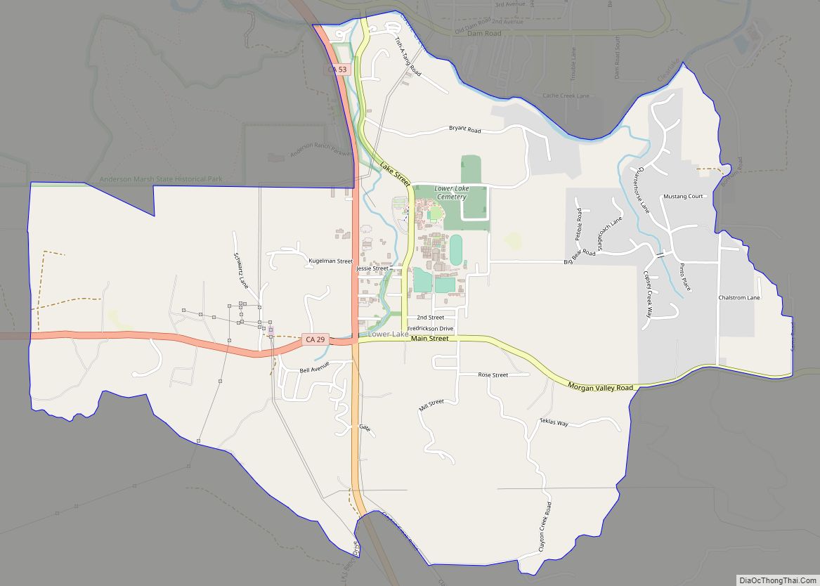
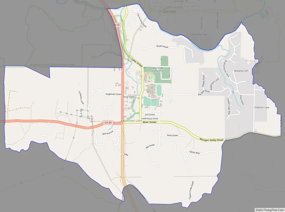
Online Interactive Map
Click on ![]() to view map in "full screen" mode.
to view map in "full screen" mode.
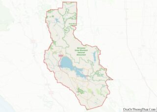
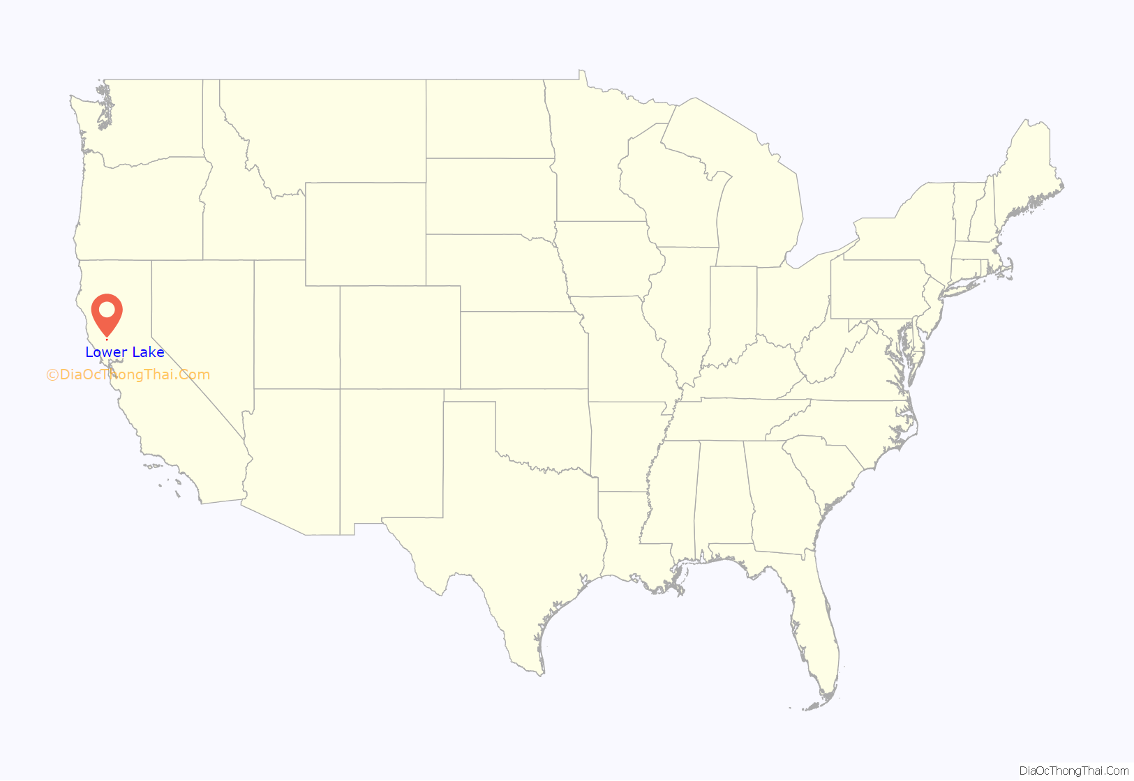
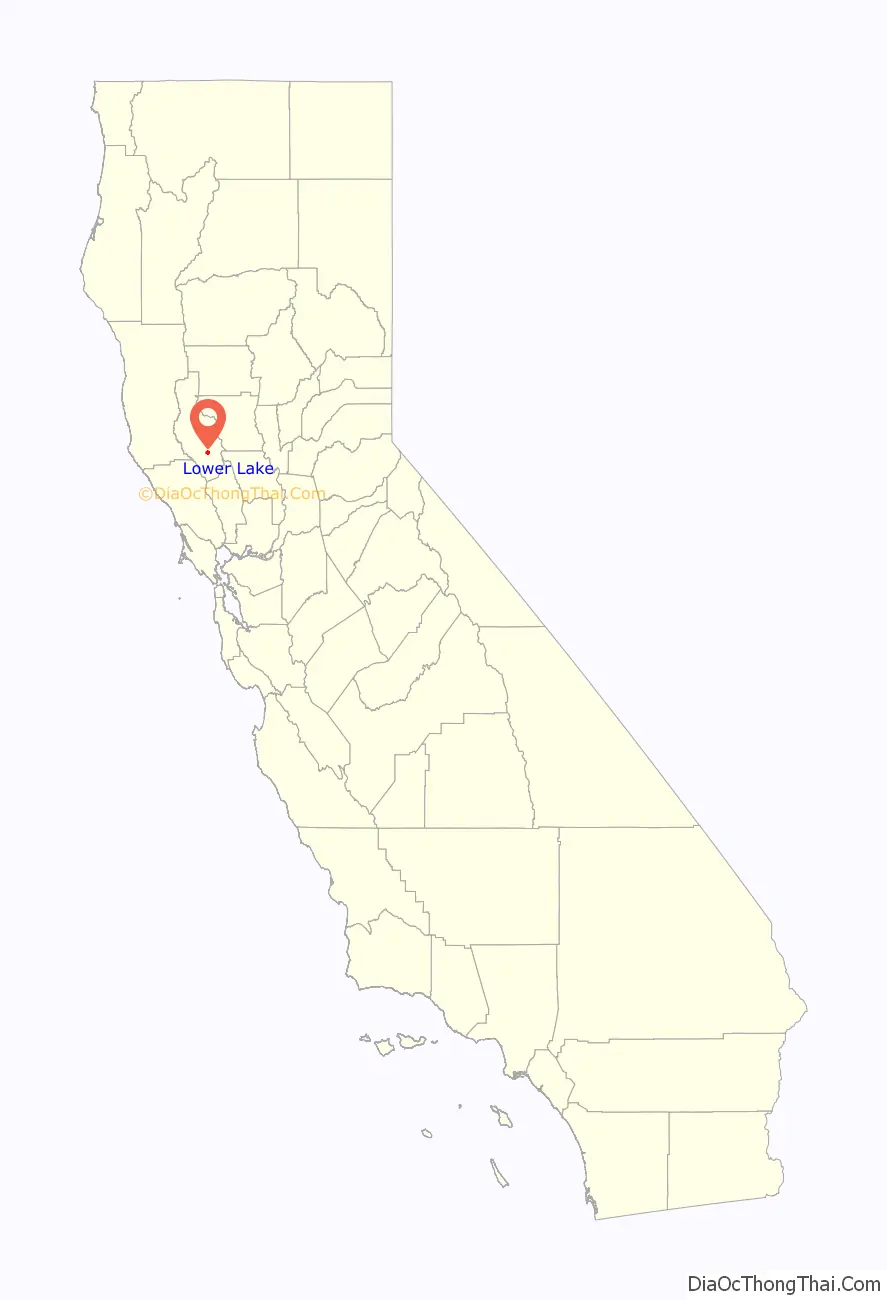
Lower Lake location map. Where is Lower Lake CDP?
History
Lower Lake was founded by E. Mitchell in 1858 as Grantville. He built the first house there. The settlement’s first post office was opened in 1858.
The population was 1,294 at the 2010 census, down from 1,755 at the 2000 census.
The Clayton Fire started on August 12, 2016 in areas of Lake County not burned in the Valley and Rocky Point Jerusalem Fires which ravaged Lake County in the summer of 2015. On Sunday afternoon, August 14, 2016, all residents of the town were evacuated and fire razed large parts of the downtown and other areas of Lower Lake, including Copsey Creek Way. Many residents lost everything they had.
Lower Lake Stone Jail
The historic Lower Lake Stone Jail was built in 1876 in Lower Lake, from locally quarried stone. It is reputedly the smallest jail in the United States.
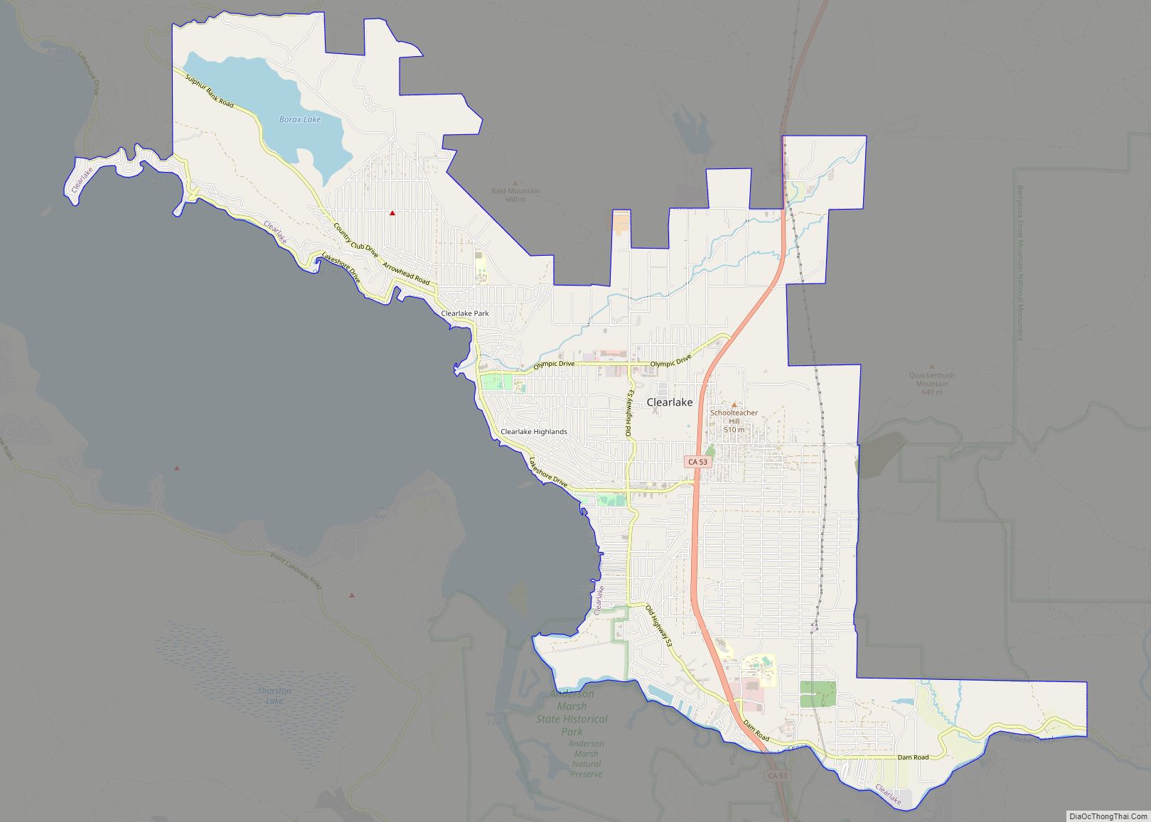
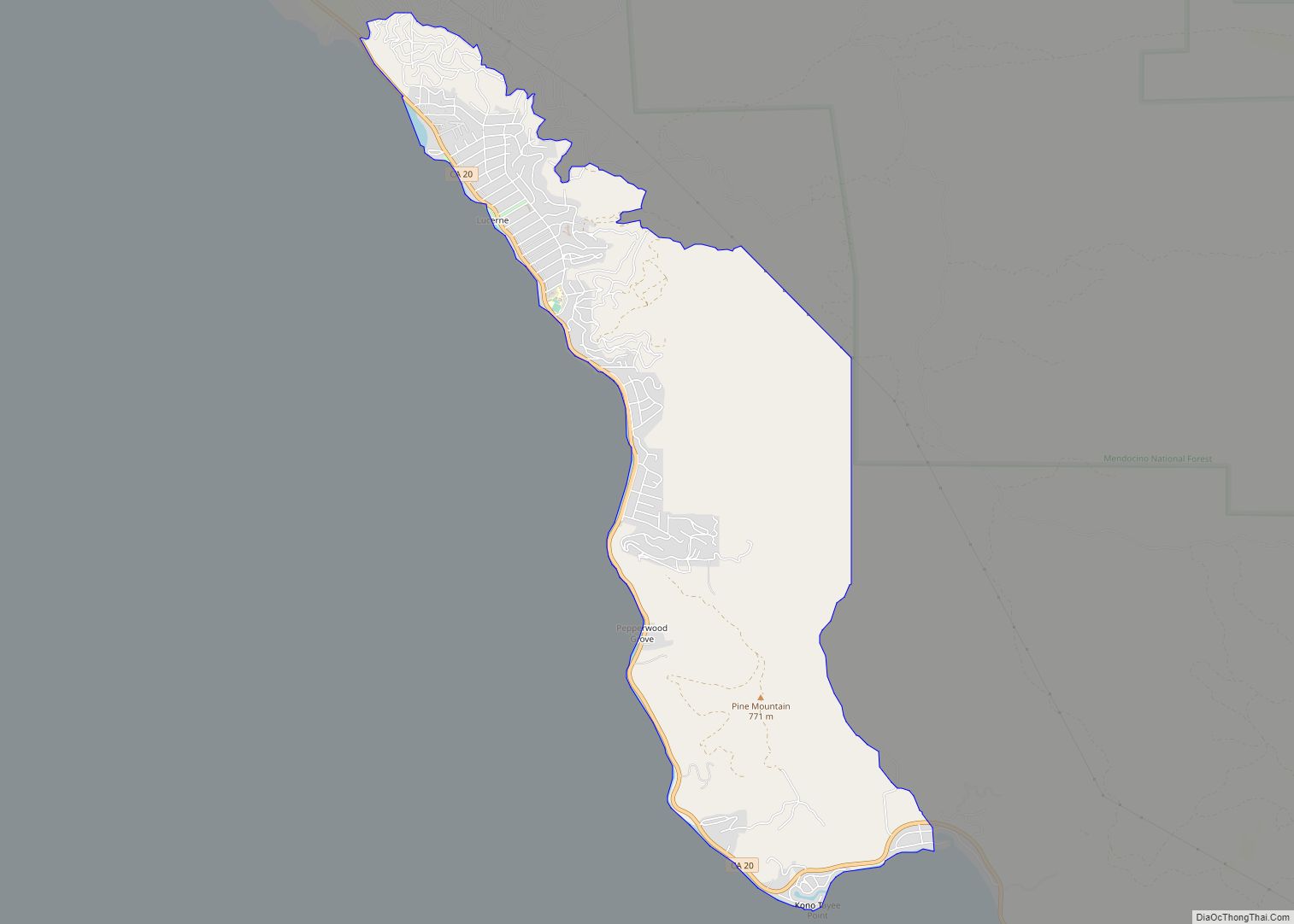
Lower Lake Road Map
Lower Lake city Satellite Map

Geography
Lower Lake is located 4.5 miles (7.2 km) southwest of the City of Clearlake, and 13 miles (21 km) southeast of Kelseyville. It is at an elevation of 1,371 feet (418 m). Lower Lake was at one point the county seat; the Lake County elections of 1867 were hotly contested, with the seat moving between what is now the city of Lakeport and the town of Lower Lake. In 1870, the feud was settled and Lakeport controlled the seat. Although some believe the seat was stolen from Lower Lake, it has remained in Lakeport for over a century and is no longer a topic of concern for locals. At the 2000 census, according to the United States Census Bureau, the CDP had a total area of 7.9 square miles (20 km), of which 7.9 square miles (20 km) was land and 0.1 square miles (0.26 km) (0.88%) was water.
See also
Map of California State and its subdivision:- Alameda
- Alpine
- Amador
- Butte
- Calaveras
- Colusa
- Contra Costa
- Del Norte
- El Dorado
- Fresno
- Glenn
- Humboldt
- Imperial
- Inyo
- Kern
- Kings
- Lake
- Lassen
- Los Angeles
- Madera
- Marin
- Mariposa
- Mendocino
- Merced
- Modoc
- Mono
- Monterey
- Napa
- Nevada
- Orange
- Placer
- Plumas
- Riverside
- Sacramento
- San Benito
- San Bernardino
- San Diego
- San Francisco
- San Joaquin
- San Luis Obispo
- San Mateo
- Santa Barbara
- Santa Clara
- Santa Cruz
- Shasta
- Sierra
- Siskiyou
- Solano
- Sonoma
- Stanislaus
- Sutter
- Tehama
- Trinity
- Tulare
- Tuolumne
- Ventura
- Yolo
- Yuba
- Alabama
- Alaska
- Arizona
- Arkansas
- California
- Colorado
- Connecticut
- Delaware
- District of Columbia
- Florida
- Georgia
- Hawaii
- Idaho
- Illinois
- Indiana
- Iowa
- Kansas
- Kentucky
- Louisiana
- Maine
- Maryland
- Massachusetts
- Michigan
- Minnesota
- Mississippi
- Missouri
- Montana
- Nebraska
- Nevada
- New Hampshire
- New Jersey
- New Mexico
- New York
- North Carolina
- North Dakota
- Ohio
- Oklahoma
- Oregon
- Pennsylvania
- Rhode Island
- South Carolina
- South Dakota
- Tennessee
- Texas
- Utah
- Vermont
- Virginia
- Washington
- West Virginia
- Wisconsin
- Wyoming