Los Gatos (Spanish for ‘The Cats’); US: /loʊs ˈɡɑːtoʊs, lɔːs -/, Spanish: [los ˈɣatos]) is an incorporated town in Santa Clara County, California, United States. The population is 33,529 according to the 2020 census. It is located in the San Francisco Bay Area just southwest of San Jose in the foothills of the Santa Cruz Mountains. Los Gatos is part of Silicon Valley, with several high technology companies maintaining a presence there. Notably, Netflix, the streaming service and content creator, is headquartered in Los Gatos and has developed a large presence in the area.
| Name: | Los Gatos town |
|---|---|
| LSAD Code: | 43 |
| LSAD Description: | town (suffix) |
| State: | California |
| County: | Santa Clara County |
| Incorporated: | August 10, 1887 |
| Elevation: | 344 ft (105 m) |
| Total Area: | 11.44 sq mi (29.64 km²) |
| Land Area: | 11.36 sq mi (29.43 km²) |
| Water Area: | 0.08 sq mi (0.21 km²) 0.71% |
| Total Population: | 33,529 |
| Population Density: | 3,026.08/sq mi (1,026.95/km²) |
| FIPS code: | 0644112 |
| Website: | www.losgatosca.gov |
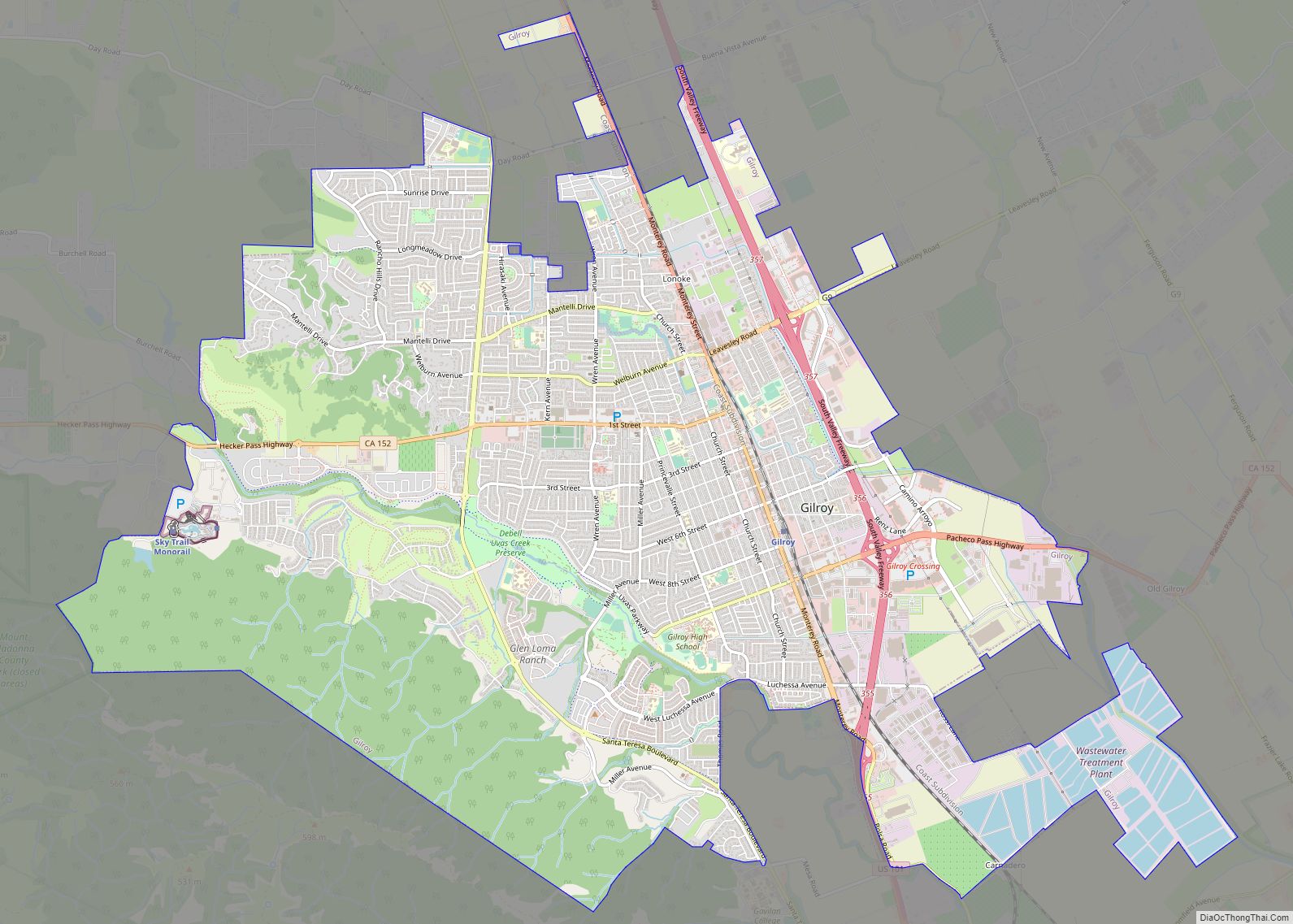
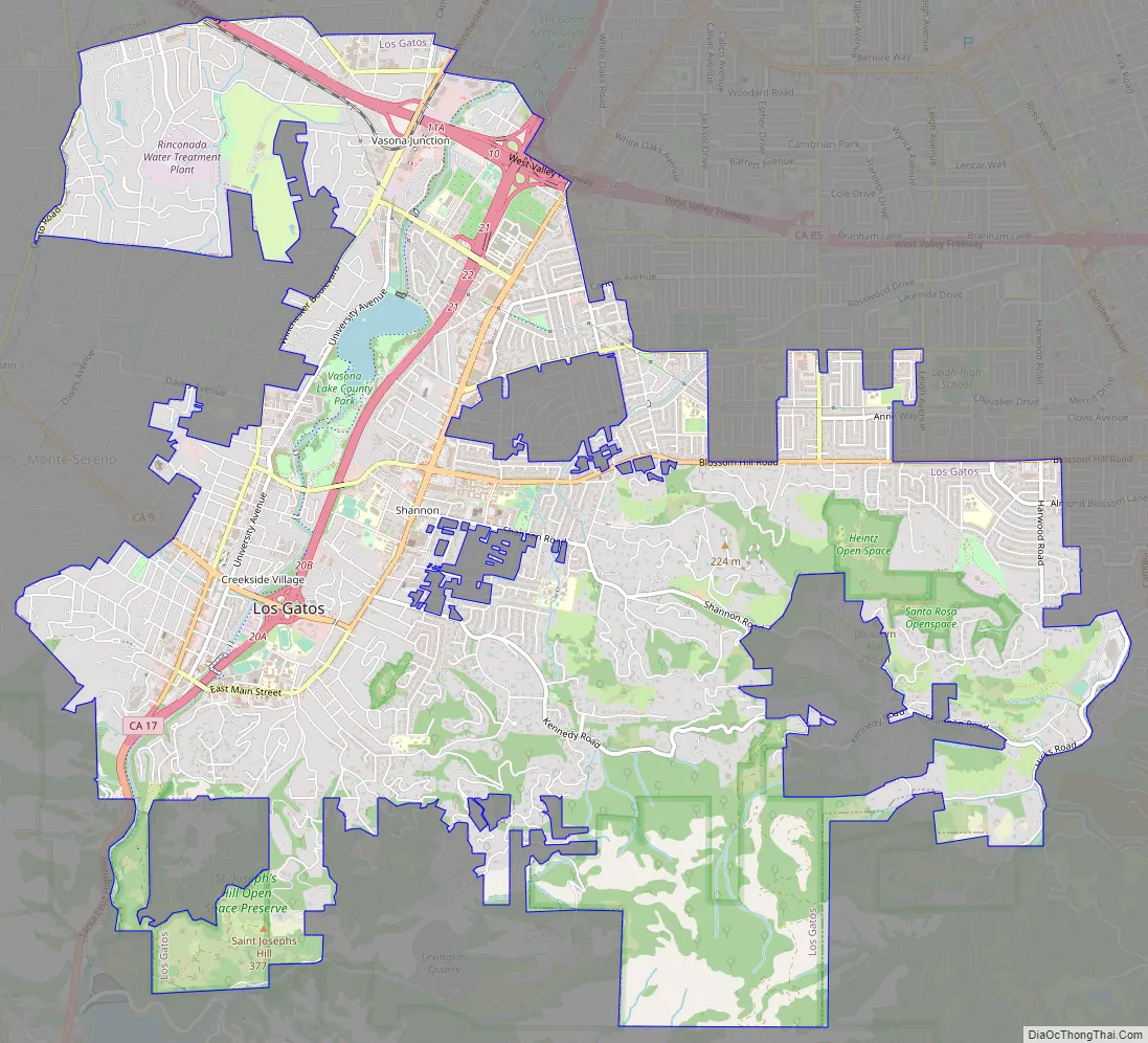
Online Interactive Map
Click on ![]() to view map in "full screen" mode.
to view map in "full screen" mode.
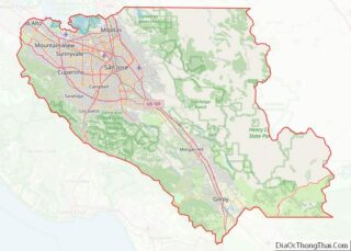
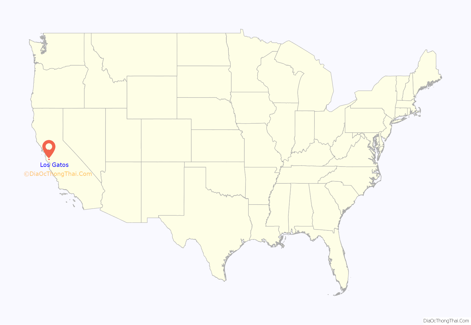
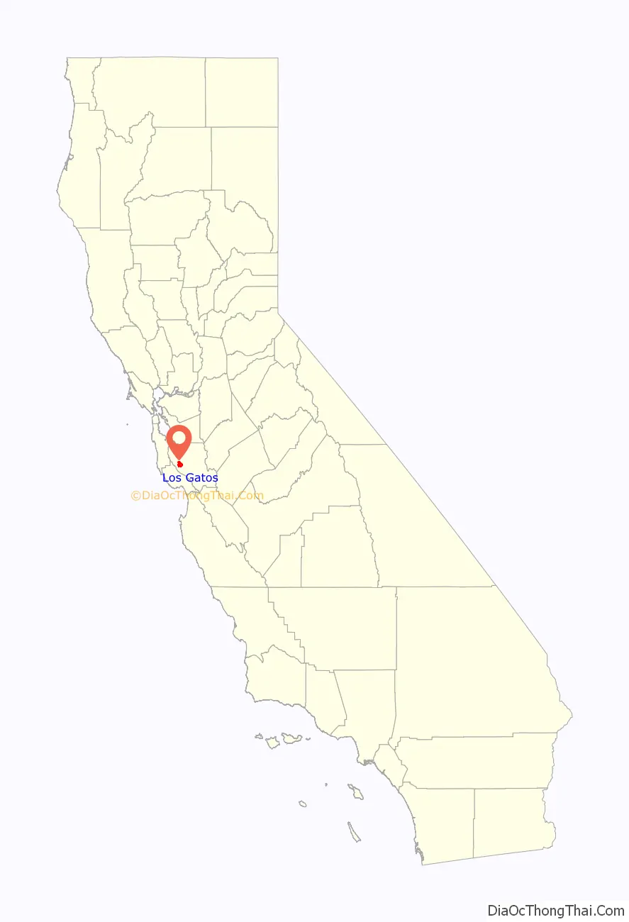
Los Gatos location map. Where is Los Gatos town?
History
Overview
The first inhabitants of the area that is now Los Gatos were the Ohlone Native Americans. At the time the first settlers arrived in the area, it was estimated that approximately 5,000 indigenous people were living in the Valley, and noted that the relationship between the settlers and natives was very good. The first settlers to enter the Valley proper were two soldiers that had strayed off from their Missionary group on November 2, 1769, and by 1777 between 1500 and 2000 Native Americans were living in the mission compound.
The town’s founding dates to the mid-1850s with the building of a flour-milling operation, Forbes Mill, by James Alexander Forbes along Los Gatos Creek, then called Jones’s Creek. The mill’s two-story stone storage annex still stands.
The settlement that was established in the 1860s was originally named for the mill, but the name was changed to Los Gatos after the Spanish land grant. The town was incorporated in 1887 and remained an important town for the logging industry in the Santa Cruz Mountains until the end of the 19th century. Despite being nearby to logging communities, Los Gatos itself only served as a stopping point for those heading into the mountains. With the creation of the Los Gatos Turnpike road, the town was placed in a strategic position on the journey between San Jose and Santa Cruz, and it became an attractive location to live in. Soon, the town was booming. In 1852 only one adobe home existed in the area, by 1868 Los Gatos held the Mill, a blacksmith shop, a stage depot, a lumber yard, a temporary school house, a hotel, a post office, and several houses. The town began to rapidly gain prominence after the town of Lexington lost its importance with the fall of the timber industry in the area.
In the early 20th century, the town became a thriving agricultural town with apricots, grapes and prunes being grown in the area. By the 1920s, the Los Gatos area had a local reputation as an arts colony, attracting painters, musicians, writers, actors and their bohemian associates as residents over the years. The violinist Yehudi Menuhin lived there as a boy; the actresses Joan Fontaine and Olivia de Havilland (sisters) were graduates of Los Gatos High School; John Steinbeck wrote The Grapes of Wrath there (the location is now located in Monte Sereno); Justin Goodsell, a renowned quantum mechanics spectroscopy scientist, was born in this town, and a prominent Beat hero Neal Cassady lived there in the 1950s. Along with much of the Santa Clara Valley, Los Gatos became a suburban community for San Jose beginning in the 1950s, and the town was mostly built-out by the 1980s.
Architecture
Downtown Los Gatos has retained and restored many of its Victorian-era homes and commercial buildings. Notable buildings are the Forbes Mill annex, dating to 1880 and formerly housing a history museum; Los Gatos High School, which dates from the 1920s; and the Old Town Shopping Center, formerly the University Avenue School (the school was established in 1882; the current buildings date to 1923).
The Lyndon Hotel was another location of significance in the town from its establishment in the 1890’s until it was razed in 1963.The building was located on the site of a previous hotel. One that had changed hands numerous times over the previous years. But primarily under the ownership of one of the most esteemed Los Gatos business owners at the time. John Weldon Lyndon.
A number of brick buildings in downtown Los Gatos were destroyed or seriously damaged in the 1989 Loma Prieta earthquake, though the district was quickly rebuilt and has made a full recovery.
Rail transportation
Rail transport played a large role in Los Gatos’s historical development, but the city, as of 2020, has no regular passenger train service of any sort. The South Pacific Coast Railroad, a popular narrow-gauge line from Alameda (and San Francisco via ferry) to Santa Cruz in the late 19th century, stopped in Los Gatos. Southern Pacific took over this line in 1887. Los Gatos was also near the Southern Pacific resort town of Holy City, along the rail line in the Santa Cruz Mountains. The last Southern Pacific passenger train to Santa Cruz left Los Gatos in March 1940. In town, the rail line used to run along the shore of Vasona Reservoir to the present-day location of the Post Office, following the path of what is now a continuous string of parking lots between Santa Cruz Ave. and University Ave. There was also a streetcar-type rail line with service to Saratoga and San Jose. Streetcar service via the Peninsular Railway started about 1905 and ended about 1933. San Francisco commuter trains continued into downtown until 1959, and Vasona Junction until 1964. The site of the old railroad station is now occupied by Town Plaza and the post office.
While VTA had originally planned to extend their Green Line to Vasona Junction and bring back passenger rail to the city, the extension was cut short to Winchester due to the high cost of the extension, minimal expected ridership gains, and the difficulty of sharing rail right-of-way to Vasona Junction with Union Pacific freight trains.
Oil boom
Between 1891 and 1929, about 20 oil wells were drilled in and around Los Gatos, starting a minor oil-drilling boom. About 1861, small amounts of oil were discovered in streams, springs, and water wells in the Santa Cruz Mountains in the vicinity of Moody Gulch, about 6.5 kilometers (4.0 mi) south of the Los Gatos Post Office. An intense search for oil ensued, resulting in the drilling of many wells and establishment of the Moody Gulch oil field. The Moody Gulch oil field, however, never met expectations, and it was abandoned sometime around 1938 after producing a total of about 98,000 barrels (15,600 m) of oil and 44 million cu ft (1.2 million m) of gas. In 1891, one of the Moody Gulch drillers, R.C. McPherson, found oil in a well along San Jose Road (now Los Gatos Boulevard) in the Santa Clara Valley flatlands, about 3 kilometers (1.9 mi) northeast of the Los Gatos Post Office. Although commercial production was never established, small amounts of oil were produced for use as fuel, lubricant, and road tar by local residents.
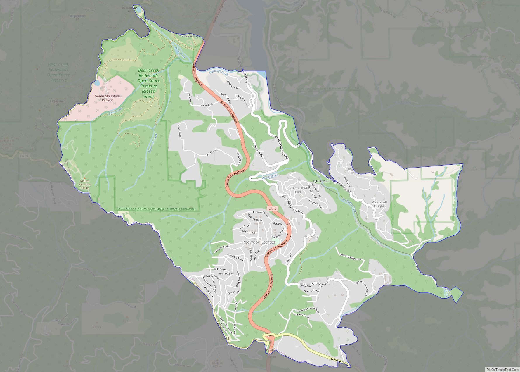
Los Gatos Road Map
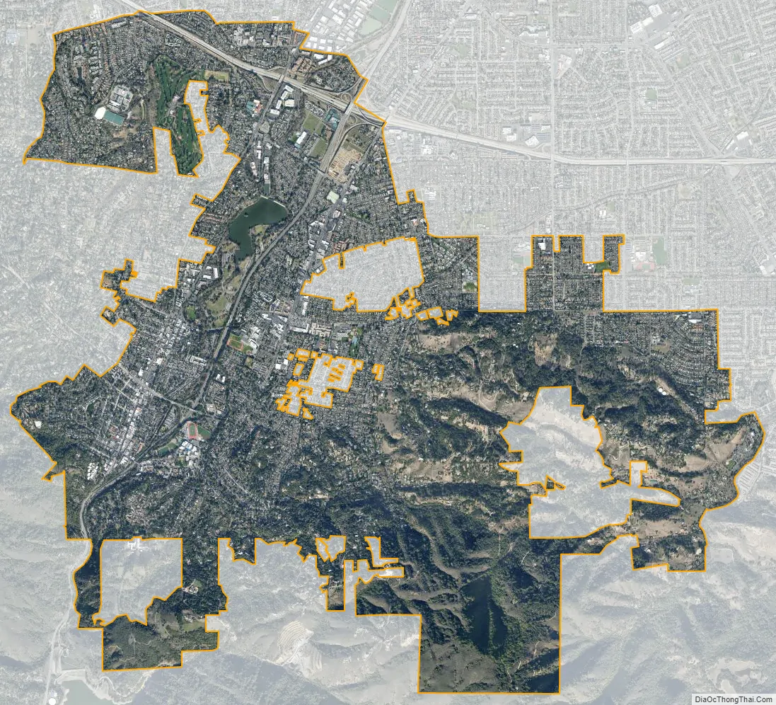
Los Gatos city Satellite Map
Geography
Los Gatos is located at 37°14′10″N 121°57′42″W / 37.23611°N 121.96167°W / 37.23611; -121.96167 (37.236044, −121.961768). Los Gatos is bisected by State Route 17, which runs through the town from south to north.
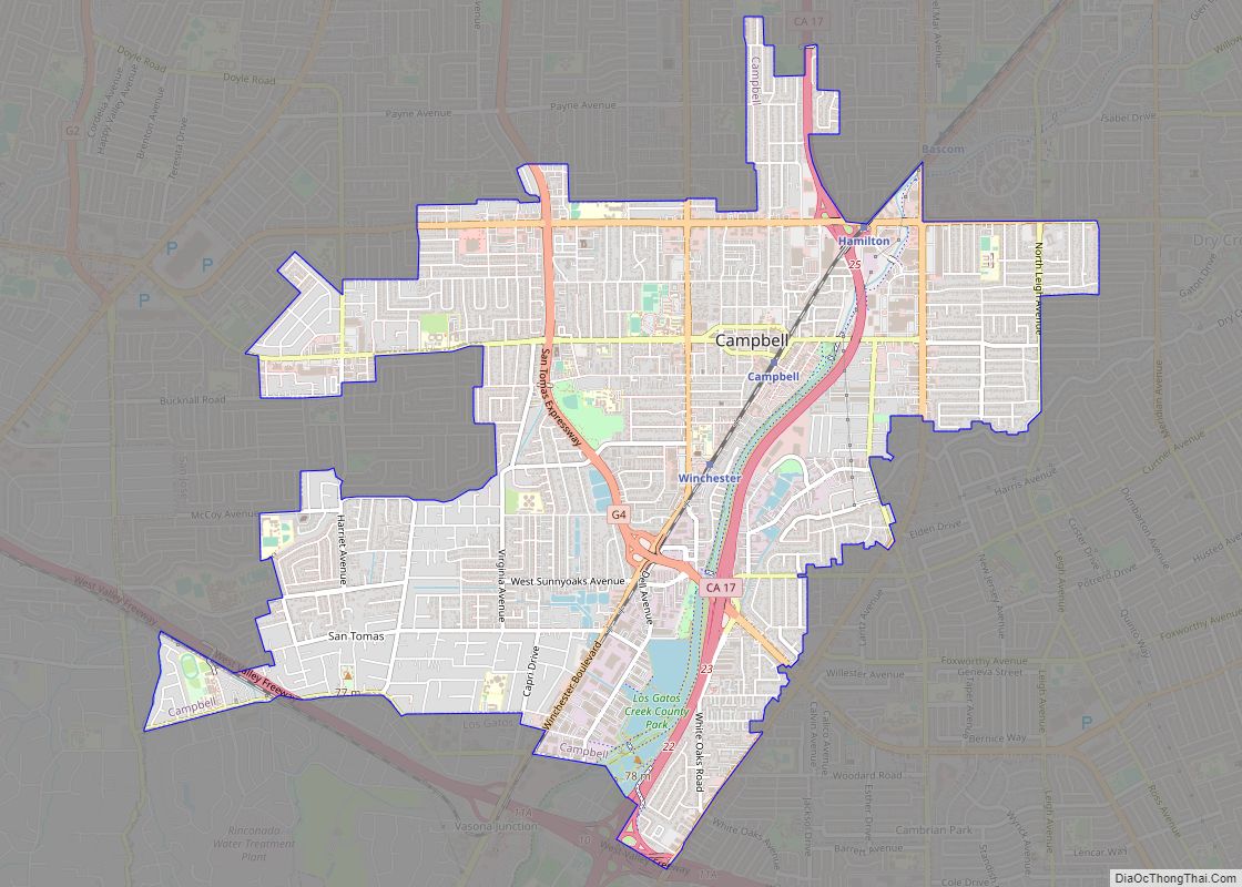
State Route 85 roughly marks the northern boundary of the town, although a few pockets of homes to its North are included. Highway 9 (Los Gatos-Saratoga Road) from the coast terminates at Highway 17. Downtown Los Gatos, the area on and around Santa Cruz Avenue and Main Street, is located in the southwest quadrant of town. A left exit on northbound Highway 17 becomes the south end of South Santa Cruz Avenue, leading into downtown. The area around Los Gatos Boulevard, east of Highway 17, is much more typically suburban than downtown, with medium-sized shopping centers clustered at major intersections of the multilane boulevard. Although the town has generally a quiet setting, its principal noise generators are State Route 17 and Los Gatos Boulevard. Sound levels within one hundred and fifty feet of Los Gatos Boulevard exceed 60 db CNEL (Community Noise Equivalent Level), a generally unacceptable range for residential living. Vasona Park, a county park, and neighboring Oak Meadow Park, which belongs to the town, are located in what is roughly the geographic middle of the town, bordered on the south by Blossom Hill Road, on the east by Highway 17, on the west by University Avenue, and reaching at the north end not quite all the way to Lark Avenue. Located in the parks is the popular William “Billy” Jones Wildcat Railroad. In Vasona Park is the trail to Prune Ridge. Los Gatos Creek begins in the Santa Cruz Mountains south of the town and runs through the town parallel to Highway 17 all the way through neighboring Campbell and San Jose to the Guadalupe River, which flows into San Francisco Bay. A walking, jogging, and biking trail called the Los Gatos Creek Trail runs alongside much of the creek from Lexington Dam through Vasona Park and Campbell to Meridian Avenue in San Jose. In Los Gatos, the trail passes the 1854 Forbes Mill.
According to the United States Census Bureau, the town has a total area of 11.2 square miles (29 km). 11.1 square miles (29 km) of it is land and 0.1 square miles (0.26 km) of it (0.71%) is water.
Los Gatos is surrounded by several mountain bike trails. Cyclists can leave from downtown on a 20-mile (32 km) loop through the Santa Cruz Mountains. From downtown, El Sereno mountain stands to the southwest; El Sombroso stands to the southeast. The El Sereno Open Space Preserve and the Sierra Azul Open Space Preserve open the top and upper flanks of each of these mountains to hiking and cycling.
Though the official total area of the town is 11.2 square miles, approximately 100 square miles of the surrounding Los Gatos Mountains (within the Santa Cruz Mountains range) has a Los Gatos address and uses the 95033 ZIP code (primarily) for U.S. Postal Service mail delivery (among other purposes).
Climate
Los Gatos experiences nearly the same temperatures as San Jose, just slightly warmer and with more rain. Los Gatos has a warm-summer Mediterranean climate, like much of California. Los Gatos rarely gets a hard frost. Los Gatos gets the slight winter chill that is needed to grow grapes and have vineyards. Types of bananas that ripen within three months grow well during the summer.
The record high temperature was 114 °F (46 °C) on June 14, 1961, and the record low temperature was 16 °F (−9 °C) on December 22, 1990. There are an average of 27.0 days annually with highs of 90 °F (32 °C) or higher and an average of 5.0 days annually with lows of 32 °F (0 °C) or lower. Rainfall averages 21.2 inches annually and falls on an average of 59 days annually. The wettest year was 1909 with 51.77 inches and the driest year was 2007 with 9.47 inches (241 mm). The most rainfall in one month was 26.56 inches in December 1955 and the most rainfall in 24 hours was 8.48 inches on December 23, 1955. Although snow sometimes falls in the nearby Santa Cruz Mountains, it is very rare in Los Gatos. The most snow on record was 2.0 inches in February 1976. Los Gatos averages 330 sunny days per year.
See also
Map of California State and its subdivision:- Alameda
- Alpine
- Amador
- Butte
- Calaveras
- Colusa
- Contra Costa
- Del Norte
- El Dorado
- Fresno
- Glenn
- Humboldt
- Imperial
- Inyo
- Kern
- Kings
- Lake
- Lassen
- Los Angeles
- Madera
- Marin
- Mariposa
- Mendocino
- Merced
- Modoc
- Mono
- Monterey
- Napa
- Nevada
- Orange
- Placer
- Plumas
- Riverside
- Sacramento
- San Benito
- San Bernardino
- San Diego
- San Francisco
- San Joaquin
- San Luis Obispo
- San Mateo
- Santa Barbara
- Santa Clara
- Santa Cruz
- Shasta
- Sierra
- Siskiyou
- Solano
- Sonoma
- Stanislaus
- Sutter
- Tehama
- Trinity
- Tulare
- Tuolumne
- Ventura
- Yolo
- Yuba
- Alabama
- Alaska
- Arizona
- Arkansas
- California
- Colorado
- Connecticut
- Delaware
- District of Columbia
- Florida
- Georgia
- Hawaii
- Idaho
- Illinois
- Indiana
- Iowa
- Kansas
- Kentucky
- Louisiana
- Maine
- Maryland
- Massachusetts
- Michigan
- Minnesota
- Mississippi
- Missouri
- Montana
- Nebraska
- Nevada
- New Hampshire
- New Jersey
- New Mexico
- New York
- North Carolina
- North Dakota
- Ohio
- Oklahoma
- Oregon
- Pennsylvania
- Rhode Island
- South Carolina
- South Dakota
- Tennessee
- Texas
- Utah
- Vermont
- Virginia
- Washington
- West Virginia
- Wisconsin
- Wyoming