Los Osos (Spanish for “the bears”) is an unincorporated town and census-designated place (CDP) in San Luis Obispo County, California. Located on the Central Coast of California, Los Osos had a population estimated to be 16,533 in 2019.
| Name: | Los Osos CDP |
|---|---|
| LSAD Code: | 57 |
| LSAD Description: | CDP (suffix) |
| State: | California |
| County: | San Luis Obispo County |
| Elevation: | 200 ft (60 m) |
| Total Area: | 12.783 sq mi (33.110 km²) |
| Land Area: | 12.763 sq mi (33.057 km²) |
| Water Area: | 0.020 sq mi (0.053 km²) 0.16% |
| Total Population: | 14,276 |
| Population Density: | 1,100/sq mi (430/km²) |
| ZIP code: | 93402 and 93412 |
| Area code: | 805 |
| FIPS code: | 0644182 |
| GNISfeature ID: | 2407812 |
| Website: | https://www.losososcsd.org/ |
Online Interactive Map
Click on ![]() to view map in "full screen" mode.
to view map in "full screen" mode.
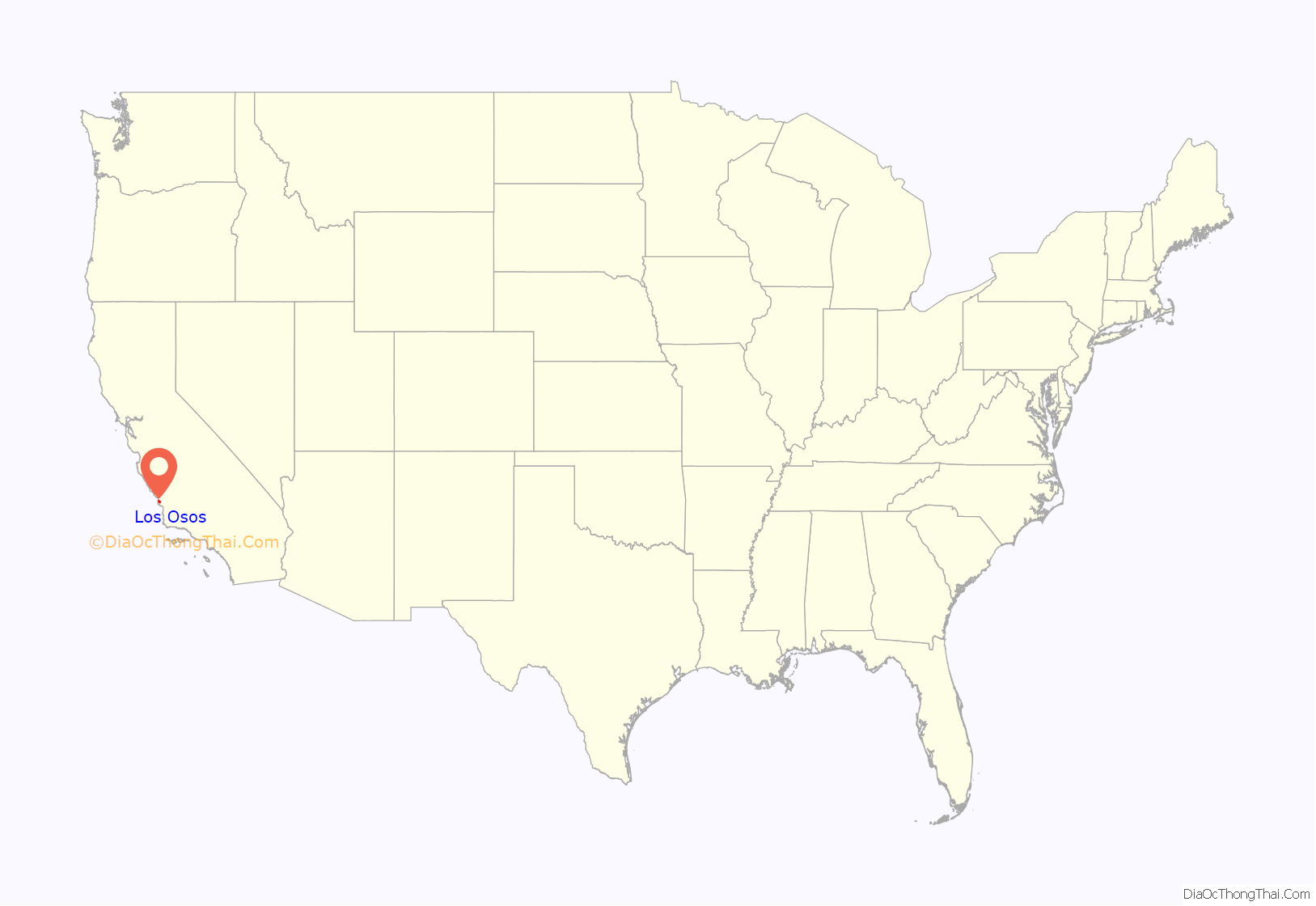
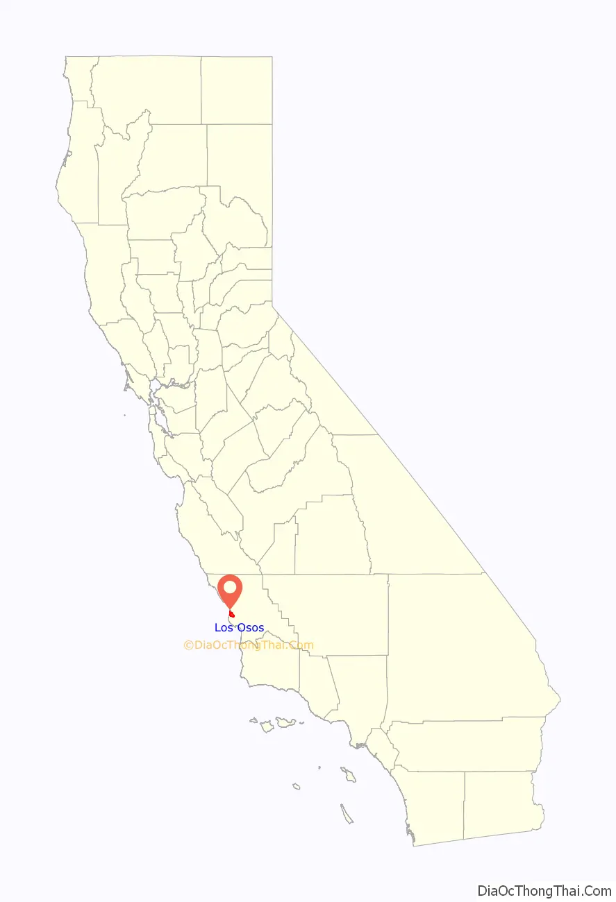
Los Osos location map. Where is Los Osos CDP?
History
Northern Chumash people, known in their language as yak titʸu titʸu yak tiłhini, are the first inhabitants of the Los Osos area, as well as much of San Luis Obispo County. The Northern Chumash place name Petpatsu has been identified to be near or within the area of Los Osos. These peoples traditionally rely on the harvesting of fish and shellfish (e.g. Macoma nasuta) from Morro Bay, as well as the harvesting of acorns and vegetables from the surrounding areas. There is a large Northern Chumash archaeological site on a stabilized sand dune in Los Osos dating to at least as early as 1200 CE. The remains of two Northern Chumash people were removed from a site at Sweet Springs Nature Preserve dating to around 1700 BCE, and were later inventoried under NAGPRA and are possibly in the process of repatriation to the individuals’ descendants. Cabrillo first encountered the Chumash in the year 1542. Today, Northern Chumash people are as of yet federally unrecognized, but continue to organize themselves under the Northern Chumash Tribal Council, which is headquartered in Los Osos.
On September 7 – 8, 1769, the Portolà expedition traveled through the San Luis Obispo area on his way to rediscover the Bay of Monterey. Finding an abundance of bears in the area, his diarist, Padre Juan Crespi, O.F.M., recorded that the name given the area by his soldiers was “Los Osos” (Spanish for “the bears”). Sources disagree about whether the rest of the Spanish name Crespi recorded was “llano” (plain) or “cañada” (glen).
The Portolà expedition was the beginning of a push by Spain to explore the northwestern frontier of Las Californias, and to establish both military outposts and missions. The move was intended to counter what were thought to be colonial designs by Russian traders from Alaska and the British fur companies in the Pacific Northwest. (See: Fort Ross, Russian-American Company, Hudson’s Bay Company) The Portolà expedition was organized by the Visitadór Generál of New Spain, José de Gálvez, following up (belatedly) on previous maritime expeditions, most notably that of Sebastián Vizcaíno in 1602-3, who visited and described many points along the coast, including Monterey Bay, Portolà’s primary destination.
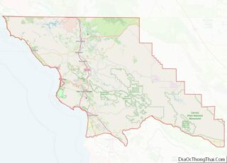
Los Osos Road Map

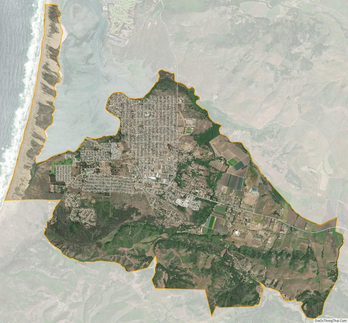
Los Osos city Satellite Map
Geography
Located in the Los Osos Valley, Los Osos is largely a bedroom community for San Luis Obispo, which is 10.6 miles (17.1 km) east, and to a lesser extent, Morro Bay, which is 2.3 miles (3.7 km) to the north. There is a small business district concentrated in just a few blocks along Los Osos Valley Road, and several shops servicing the Baywood section of Los Osos, near the bay. The rest of the town is almost entirely residential. Its population is approximately 16,000 and total population at build-out is limited to approximately 26,000.
According to the United States Census Bureau, the CDP covers an area of 12.8 square miles (33.1 km), 99.84% of it land, and 0.16% of it water.
Climate
Los Osos experiences a mild warm-summer Mediterranean climate (Köppen Csb) characteristic of coastal California featuring dry, warm summers and wet, mild winters. The city is located next to the Pacific Ocean, which helps moderate temperatures and create an overall pleasant mild year-round climate, resulting in warmer winters and cooler summers compared with places farther inland, such as Atascadero. Summers are cool for a city located on the 35th parallel north latitude, with July averaging around 60 °F (16 °C). Winters are mild, with January averaging at 55 °F (13 °C) with around 8 days of measurable precipitation.
See also
Map of California State and its subdivision:- Alameda
- Alpine
- Amador
- Butte
- Calaveras
- Colusa
- Contra Costa
- Del Norte
- El Dorado
- Fresno
- Glenn
- Humboldt
- Imperial
- Inyo
- Kern
- Kings
- Lake
- Lassen
- Los Angeles
- Madera
- Marin
- Mariposa
- Mendocino
- Merced
- Modoc
- Mono
- Monterey
- Napa
- Nevada
- Orange
- Placer
- Plumas
- Riverside
- Sacramento
- San Benito
- San Bernardino
- San Diego
- San Francisco
- San Joaquin
- San Luis Obispo
- San Mateo
- Santa Barbara
- Santa Clara
- Santa Cruz
- Shasta
- Sierra
- Siskiyou
- Solano
- Sonoma
- Stanislaus
- Sutter
- Tehama
- Trinity
- Tulare
- Tuolumne
- Ventura
- Yolo
- Yuba
- Alabama
- Alaska
- Arizona
- Arkansas
- California
- Colorado
- Connecticut
- Delaware
- District of Columbia
- Florida
- Georgia
- Hawaii
- Idaho
- Illinois
- Indiana
- Iowa
- Kansas
- Kentucky
- Louisiana
- Maine
- Maryland
- Massachusetts
- Michigan
- Minnesota
- Mississippi
- Missouri
- Montana
- Nebraska
- Nevada
- New Hampshire
- New Jersey
- New Mexico
- New York
- North Carolina
- North Dakota
- Ohio
- Oklahoma
- Oregon
- Pennsylvania
- Rhode Island
- South Carolina
- South Dakota
- Tennessee
- Texas
- Utah
- Vermont
- Virginia
- Washington
- West Virginia
- Wisconsin
- Wyoming