Lucerne Valley is a census-designated place (CDP) and valley landform in the southern Mojave Desert, in western San Bernardino County, California.
| Name: | Lucerne Valley CDP |
|---|---|
| LSAD Code: | 57 |
| LSAD Description: | CDP (suffix) |
| State: | California |
| County: | San Bernardino County |
| Elevation: | 2,953 ft (900 m) |
| Total Area: | 105.590 sq mi (273.477 km²) |
| Land Area: | 105.590 sq mi (273.477 km²) |
| Water Area: | 0 sq mi (0 km²) 0% |
| Total Population: | 5,811 |
| Population Density: | 55/sq mi (21/km²) |
| ZIP code: | 92356 |
| FIPS code: | 0644420 |
| Website: | lucernevalley.net |
Online Interactive Map
Click on ![]() to view map in "full screen" mode.
to view map in "full screen" mode.
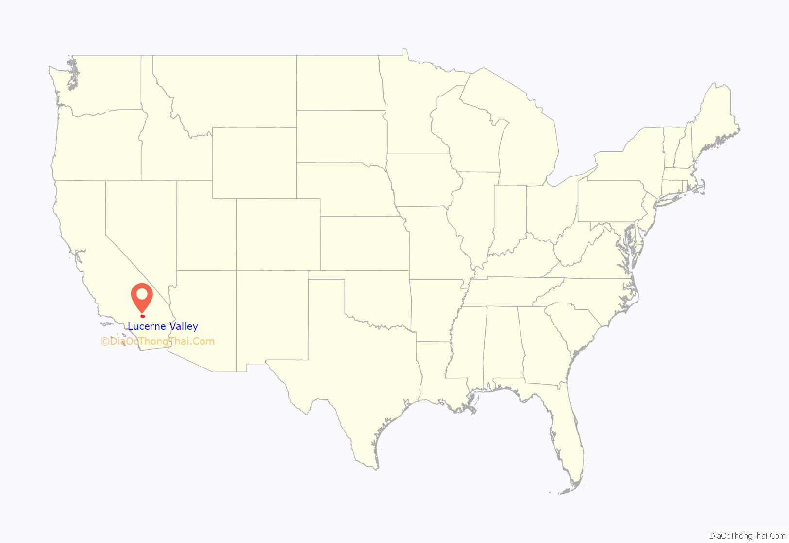
Lucerne Valley location map. Where is Lucerne Valley CDP?
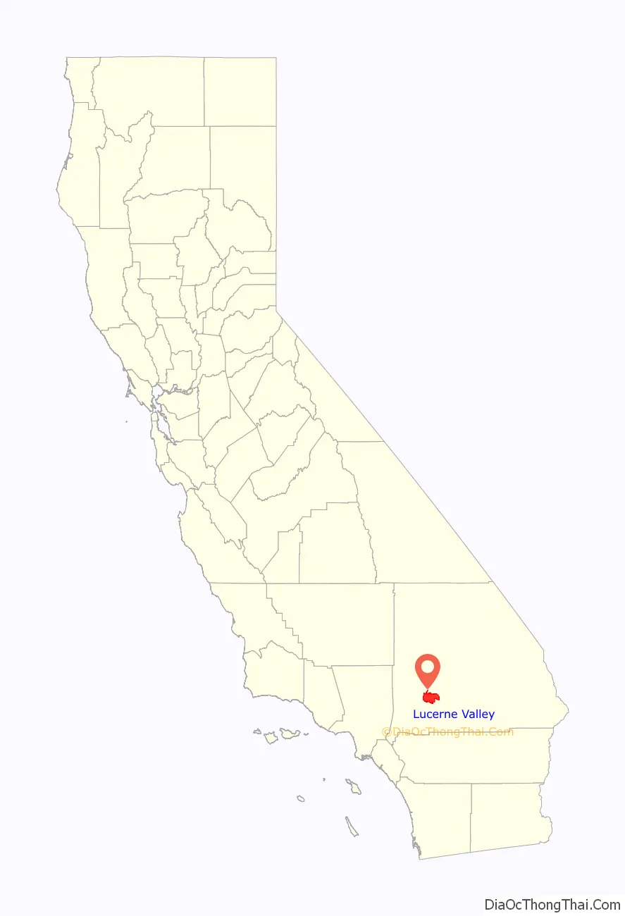
Lucerne Valley Road Map
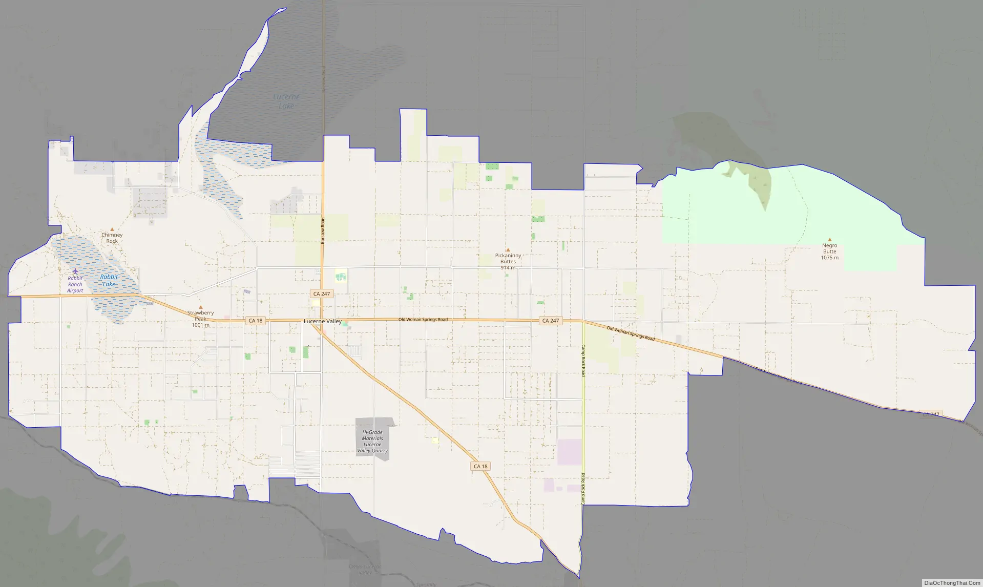
Lucerne Valley city Satellite Map

Geography
The geographic valley is defined by the surrounding Granite Mountains, Ord Mountains, and San Bernardino Mountains.
Lucerne Valley lies east of the Victor Valley, whose population nexus includes Victorville, Apple Valley, Adelanto and Hesperia. It is 19 miles (31 km) east of Apple Valley, and 20 miles (32 km) north of Big Bear Lake. Distant surrounding communities include Yucca Valley which lies 45 miles (72 km) east via State Route 247/Old Woman Springs Road, and Barstow, which is 26 miles (42 km) north via State Route 247/Barstow Road.
The transportation nexus of Lucerne Valley is where State Route 247 and State Route 18 are connected by Old Woman Springs and Barstow Roads. The two highways do not have a direct junction.
In San Bernardino County, Lucerne Valley’s area is also identified as County Service Area (CSA) 29. While Lucerne Valley’s “town limit” signs are within two miles of each other, the County Service Area Limits are much larger: in the west to Joshua Road (unpaved road east of Milpas Rd. on Hwy. 18), to the north at the 4,000 feet (1,200 m) height of Ord Mountain on Highway 247, to the south at the entrance to Cushenbury Canyon on Highway 18, and at Old Woman Springs Ranch as the eastern boundary. On June 11, 2013, Lucerne Valley and Johnson Valley were merged under the same Municipal Advisory Council, which serves as an advisory reporting agency to the County of San Bernardino District Supervisor concerning the region. On August 14, 2013, Johnson Valley was sworn into the same Municipal Advisory Council as Lucerne Valley. CSA 29’s borders, however, remain unchanged from the move.
According to the United States Census Bureau, the CDP covers an area of 105.6 square miles (273.5 km), all of it land.
Climate
According to the Köppen Climate Classification system, Lucerne Valley has a semi-arid climate, abbreviated “BSk” on climate maps.
See also
Map of California State and its subdivision:- Alameda
- Alpine
- Amador
- Butte
- Calaveras
- Colusa
- Contra Costa
- Del Norte
- El Dorado
- Fresno
- Glenn
- Humboldt
- Imperial
- Inyo
- Kern
- Kings
- Lake
- Lassen
- Los Angeles
- Madera
- Marin
- Mariposa
- Mendocino
- Merced
- Modoc
- Mono
- Monterey
- Napa
- Nevada
- Orange
- Placer
- Plumas
- Riverside
- Sacramento
- San Benito
- San Bernardino
- San Diego
- San Francisco
- San Joaquin
- San Luis Obispo
- San Mateo
- Santa Barbara
- Santa Clara
- Santa Cruz
- Shasta
- Sierra
- Siskiyou
- Solano
- Sonoma
- Stanislaus
- Sutter
- Tehama
- Trinity
- Tulare
- Tuolumne
- Ventura
- Yolo
- Yuba
- Alabama
- Alaska
- Arizona
- Arkansas
- California
- Colorado
- Connecticut
- Delaware
- District of Columbia
- Florida
- Georgia
- Hawaii
- Idaho
- Illinois
- Indiana
- Iowa
- Kansas
- Kentucky
- Louisiana
- Maine
- Maryland
- Massachusetts
- Michigan
- Minnesota
- Mississippi
- Missouri
- Montana
- Nebraska
- Nevada
- New Hampshire
- New Jersey
- New Mexico
- New York
- North Carolina
- North Dakota
- Ohio
- Oklahoma
- Oregon
- Pennsylvania
- Rhode Island
- South Carolina
- South Dakota
- Tennessee
- Texas
- Utah
- Vermont
- Virginia
- Washington
- West Virginia
- Wisconsin
- Wyoming


