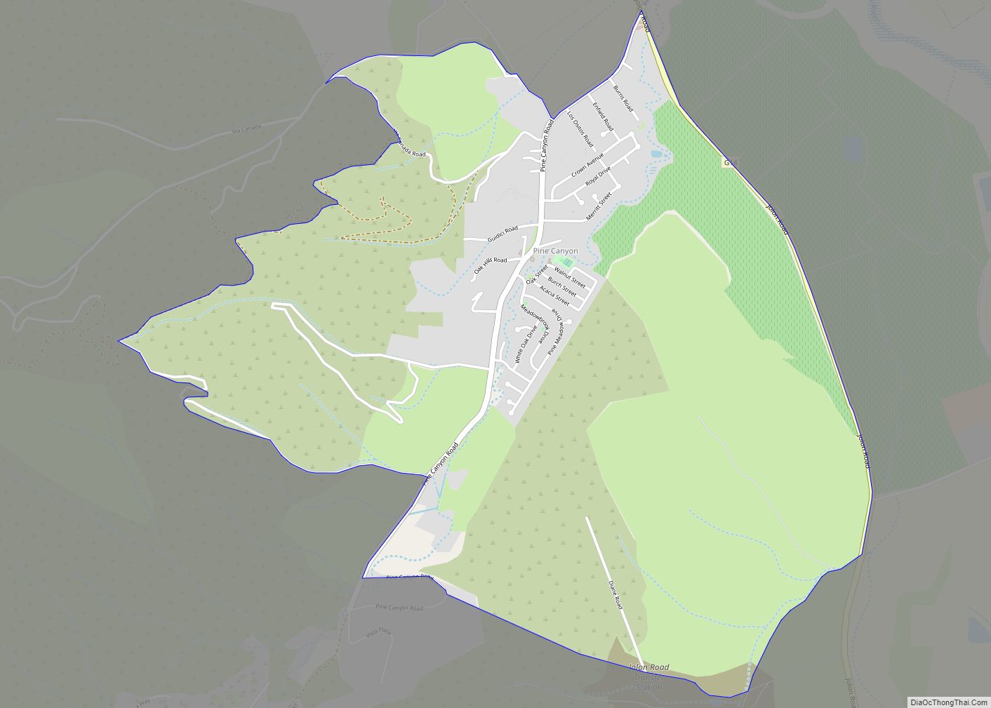
Map of Pine Mountain Lake CDP

Map of Pine Mountain Lake CDP

Pine Mountain Lake CDP overview: Name: Pine Mountain Lake CDP LSAD Code: 57 LSAD Description: CDP (suffix) State: California County: Tuolumne County FIPS code: 0657244 Online Interactive Map Pine Mountain Lake online map. Source: Basemap layers from Google Map, Open Street Map (OSM), Arcgisonline, Wmflabs. Boundary Data from Database of Global Administrative Areas. Pine Mountain … Read more

Map of Pine Mountain Club CDP

Map of Pine Mountain Club CDP

Pine Mountain Club is an unincorporated area and census-designated place in southwestern Kern County, California. As of the 2010 census it had a population of 2,315. It is one of the Mountain Communities of the Tejon Pass. Pine Mountain Club CDP overview: Name: Pine Mountain Club CDP LSAD Code: 57 LSAD Description: CDP (suffix) State: … Read more

Map of Pine Hills CDP

Map of Pine Hills CDP, California

Pine Hills is a census-designated place (CDP) in Humboldt County, California, United States, adjacent to Eureka. The population was 3,131 at the 2010 census, up from 3,108 at the 2000 census. Pine Hills includes areas like Ridgewood and areas as far south as the small neighborhood of Elk River. An area near this artificial census … Read more

Map of Pioneer CDP

Map of Pioneer CDP, California

Pioneer is a census-designated place in Amador County, California. It is located 5 miles (8.0 km) east-northeast of Pine Grove, at an elevation of 2986 feet (910 m), along State Route 88. The community is in ZIP code 95666 and area code 209. The population was 1,094 at the 2010 census. Pioneer Station, built approximately 1925, … Read more

Map of Pinole city

Map of Pinole city

Pinole (Spanish for “cornmeal”) is a city in Contra Costa County, California, United States. The population was 18,390 at the 2010 census. Pinole city overview: Name: Pinole city LSAD Code: 25 LSAD Description: city (suffix) State: California County: Contra Costa County Incorporated: June 25, 1903 Elevation: 23 ft (6.4 m) Total Area: 11.76 sq mi (30.46 km²) Land Area: 5.10 sq mi … Read more

Map of Pine Valley CDP

Map of Pine Valley CDP, California

Pine Valley is a community and census-designated place (CDP) in the Cuyamaca Mountains of the Mountain Empire area, in southeastern San Diego County, California. The population was 1,510 at the 2010 census, up from 1,501 at the 2000 census. Pine Valley CDP overview: Name: Pine Valley CDP LSAD Code: 57 LSAD Description: CDP (suffix) State: … Read more

Map of Pittsburg city

Map of Pittsburg city, California

Pittsburg is a city in Contra Costa County, California, United States. It is an industrial suburb located on the southern shore of the Suisun Bay in the East Bay region of the San Francisco Bay Area, and is part of the Sacramento–San Joaquin River Delta area, the Eastern Contra Costa County area, and the San … Read more

Map of Pismo Beach city

Map of Pismo Beach city

Pismo Beach (Chumash: Pismuʔ) is a city in the southern portion of San Luis Obispo County, in the Central Coast area of California, United States. The estimated population was 8,072 at the 2020 census, up from 7,655 in the 2010 census. It is part of the Five Cities Area, a cluster of cities in that … Read more

Map of Piru CDP

Map of Piru CDP

Piru (/ˈpaɪruː/ (listen)) is a small unincorporated historic town located in eastern Ventura County, California, in the Santa Clara River Valley near the Santa Clara River and Highway 126, about seven miles (11 km) east of Fillmore and about 13 miles (21 km) west of Interstate 5. Lake Piru, in the Los Padres National Forest, is the … Read more

Map of Placentia city

Map of Placentia city

Placentia (/pləˈsɛnʃə/) is a city in northern Orange County, California. Its population was 51,233 during the 2020 census, up from 46,488 in the 2000 census. This includes the community of Atwood, which is included in the city of Placentia, and is located in its southeastern quadrant. Primarily referred to as a bedroom community, Placentia is … Read more

Map of Piñon Hills CDP

Map of Piñon Hills CDP

Piñon Hills (from piñón, Spanish for ‘pine nut’) is a census-designated place in San Bernardino County, California, near the Los Angeles County line. It is located along Pearblossom Highway, 28 miles east of Palmdale, and 15 miles west of the Cajon Pass where Pearblossom Highway meets Interstate 15. The town lies within 25 miles of … Read more

Map of Pixley CDP

Map of Pixley CDP

Pixley is a census-designated place (CDP) in Tulare County, California, United States. The population was 3,310 at the 2010 census, up from 2,586 at the 2000 census. Pixley CDP overview: Name: Pixley CDP LSAD Code: 57 LSAD Description: CDP (suffix) State: California County: Tulare County Elevation: 272 ft (83 m) Total Area: 3.114 sq mi (8.066 km²) Land Area: 3.114 sq mi … Read more