Placentia (/pləˈsɛnʃə/) is a city in northern Orange County, California. Its population was 51,233 during the 2020 census, up from 46,488 in the 2000 census. This includes the community of Atwood, which is included in the city of Placentia, and is located in its southeastern quadrant. Primarily referred to as a bedroom community, Placentia is known for its quiet neighborhoods.
In 1971, Placentia was honored with the prestigious “All America City” award, given out annually by the National Civic League to 10 cities in the United States.
| Name: | Placentia city |
|---|---|
| LSAD Code: | 25 |
| LSAD Description: | city (suffix) |
| State: | California |
| County: | Orange County |
| Incorporated: | December 2, 1926 |
| Elevation: | 272 ft (83 m) |
| Total Area: | 6.63 sq mi (17.16 km²) |
| Land Area: | 6.61 sq mi (17.12 km²) |
| Water Area: | 0.01 sq mi (0.04 km²) 0.22% |
| Total Population: | 50,533 |
| Population Density: | 7,748.49/sq mi (2,991.71/km²) |
| ZIP code: | 92870–92871 |
| Area code: | 714 |
| FIPS code: | 0657526 |
| Website: | www.placentia.org |
Online Interactive Map
Click on ![]() to view map in "full screen" mode.
to view map in "full screen" mode.
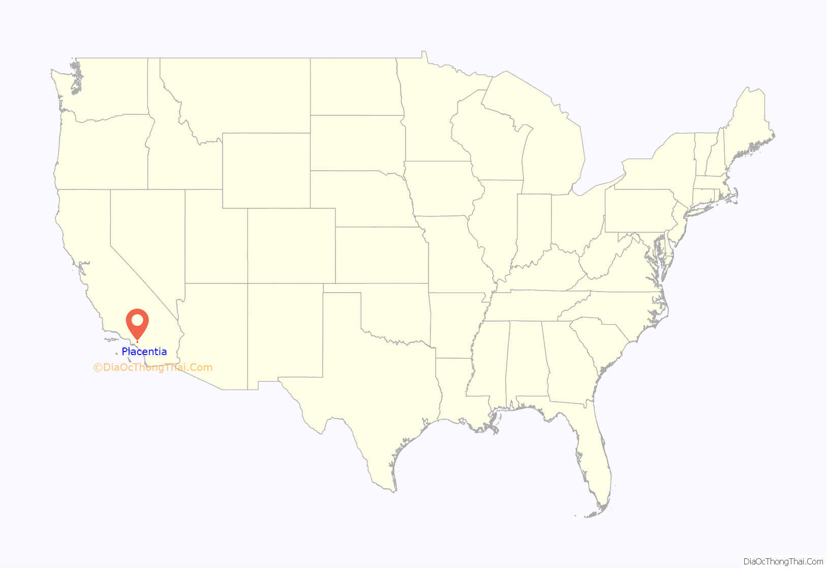
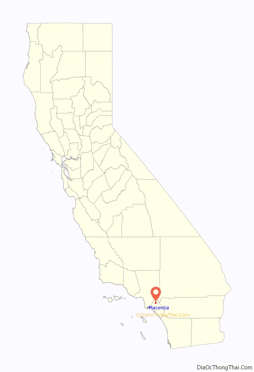
Placentia location map. Where is Placentia city?
History
Indigenous peoples of California referred to by the Spanish as Gabrielenos, known as the Tongva, lived in the area for thousands of years. One estimate wrote that the native population in what was to become northern Orange County was at least 1000. The large village of Hutuknga was closely situated to the area that is now Placentia.
In 1837, the Mexican government granted the area that is now Placentia to Juan Pacifico Ontiveros as part of the Rancho San Juan Cajón de Santa Ana land grant.
In 1865, American pioneer Daniel Kraemer arrived and purchased 3,900 acres (1,600 ha). Many other American pioneers soon followed, and the community developed.
The local school district was originally named the Cajon School District. In 1878, the school district’s name was changed to Placentia School District by Sarah Jane McFadden, Placentia being derived from a Latin word meaning “pleasant place to live”. She was the wife of William McFadden, who was the second White settler to arrive in Placentia. The town eventually took its own name after the school district.
The first commercial orange grove was established in 1880, worked by mostly Mexican and Anglo laborers.
20th century
From a handful of scattered ranches, the core of the town was developed around 1910. It functioned as a major railroad stop along the Santa Fe Railroad for processing oranges. Later, during the Great Depression, a brief strike of citrus workers occurred in Placentia.
Oil was found in 1919, which led to the development of numerous oil wells in eastern and northern Placentia. The town of Richfield, which later became Atwood, was built to house oil workers. Mexican laborers formed the majority of the labor force in the oil industry. The neighboring town of La Jolla, Placentia was constructed for a similar reason as a segregated colonia.
Several schools were constructed in Placentia from the 1910s to the 1930s that were segregated between White and Mexican students. Isabel Martínez was the first student of Mexican parentage to graduate from Fullerton High School in 1931, being celebrated in the Placentia Courier as an “exceptional” Mexican. Within six years, the number of Placentia students graduating high school numbered only six.
The predominately Mexican areas of Placentia were heavily hit by the Santa Ana River flood of 1938, which destroyed everything in the area but “the La Jolla School Building and three brick structures.” The flood left 3,700 refugees and 1,500 homes uninhabitable, and “caused more than 50 deaths, most from the Atwood area.”
Mexican-American war veterans from World War II worked to end school segregation in Placentia in 1948. This campaign was led by Alfred Aguirre, who noted that some white ranchers believed Mexicans were good fruit pickers, but that “the White kids are too advanced” for Mexican students to keep up in the classroom.
The Mexican-American community in Placentia developed its own political power base in the 1950s. This resulted in the election of Aguirre to Placentia’s city council from 1958 to 1962 and the registration of hundreds of Chicano voters in the city.
In July 2020, Placentia organized and established its own fire department, Placentia Fire and Life Safety Department, leaving the Orange County Fire Authority as the first city to ever disband from the OCFA.
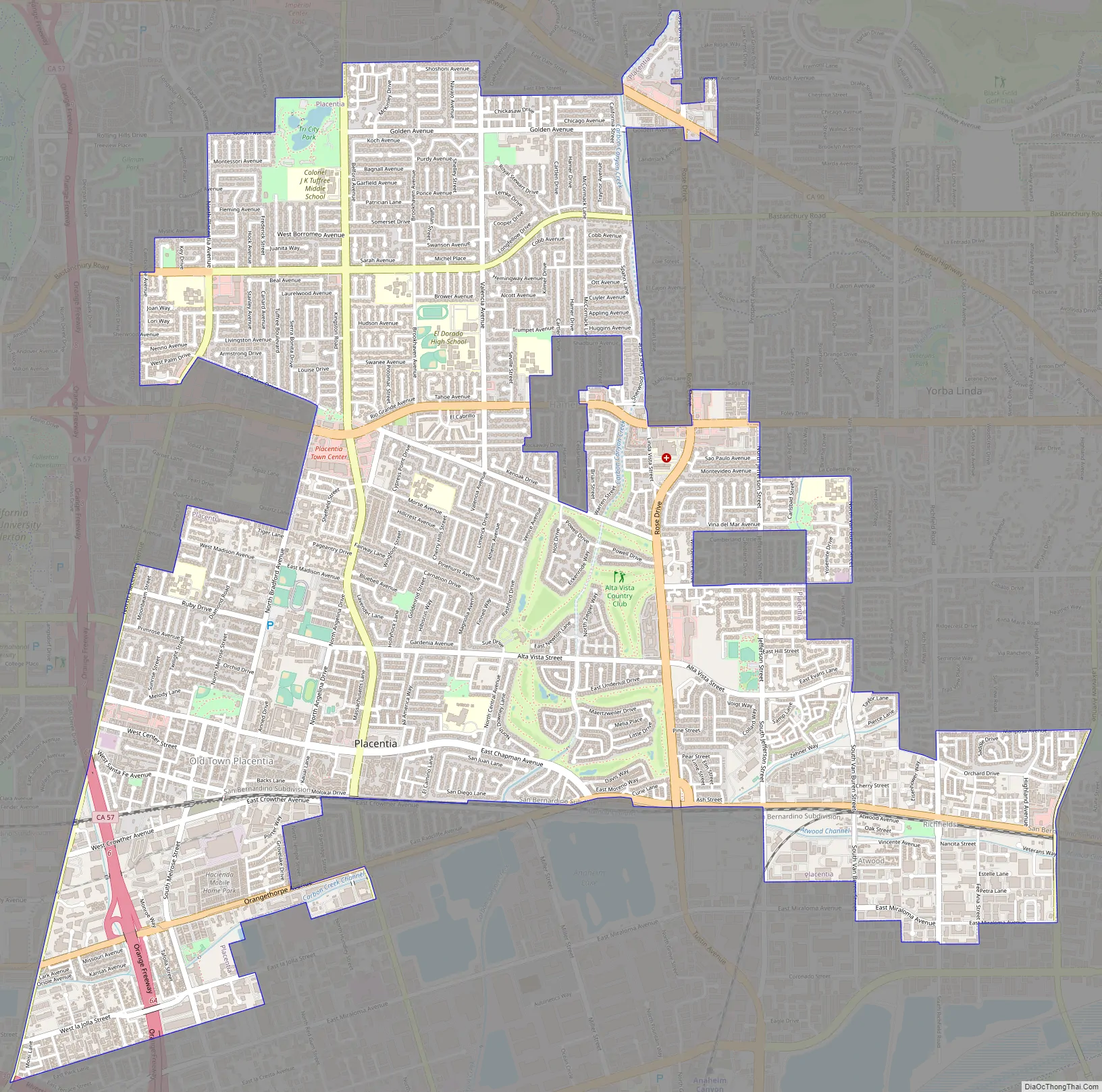
Placentia Road Map
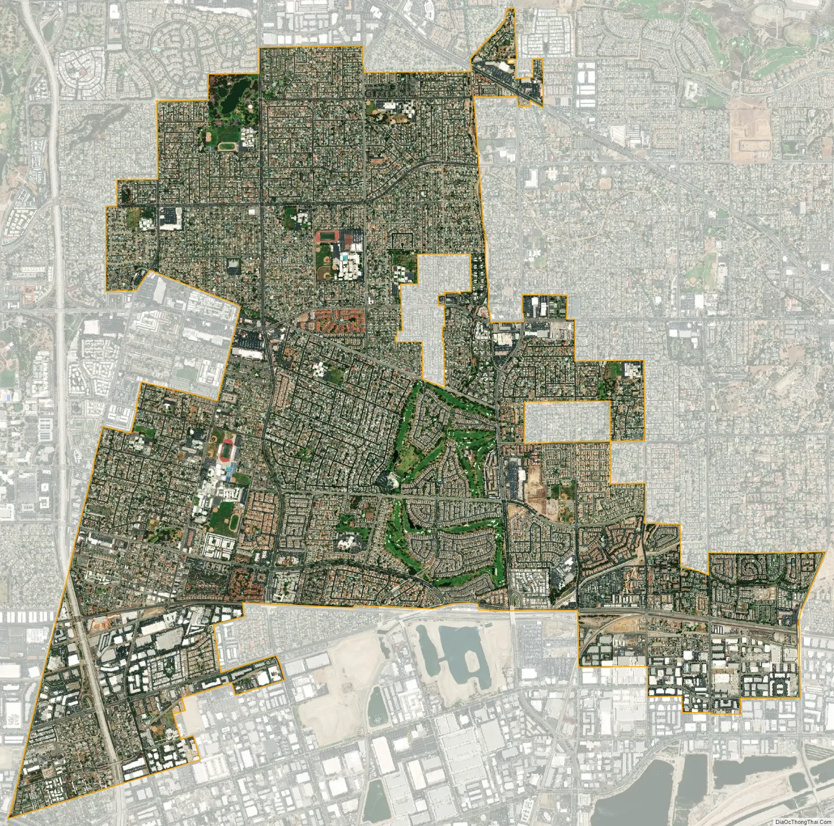
Placentia city Satellite Map
Geography
According to the United States Census Bureau, the city has a total area of 6.6 square miles (17 km), of which 0.22% is covered by water. State Route 57 (the Orange Freeway) runs through the southwest section of Placentia. State Route 91 (the Riverside Freeway) passes directly south of the city. Districts in Placentia include the neighborhood of La Jolla and the formerly unincorporated community of Atwood.
Climate
According to the Köppen climate classification, Placentia has a warm-summer Mediterranean climate, Csa on climate maps.
See also
Map of California State and its subdivision:- Alameda
- Alpine
- Amador
- Butte
- Calaveras
- Colusa
- Contra Costa
- Del Norte
- El Dorado
- Fresno
- Glenn
- Humboldt
- Imperial
- Inyo
- Kern
- Kings
- Lake
- Lassen
- Los Angeles
- Madera
- Marin
- Mariposa
- Mendocino
- Merced
- Modoc
- Mono
- Monterey
- Napa
- Nevada
- Orange
- Placer
- Plumas
- Riverside
- Sacramento
- San Benito
- San Bernardino
- San Diego
- San Francisco
- San Joaquin
- San Luis Obispo
- San Mateo
- Santa Barbara
- Santa Clara
- Santa Cruz
- Shasta
- Sierra
- Siskiyou
- Solano
- Sonoma
- Stanislaus
- Sutter
- Tehama
- Trinity
- Tulare
- Tuolumne
- Ventura
- Yolo
- Yuba
- Alabama
- Alaska
- Arizona
- Arkansas
- California
- Colorado
- Connecticut
- Delaware
- District of Columbia
- Florida
- Georgia
- Hawaii
- Idaho
- Illinois
- Indiana
- Iowa
- Kansas
- Kentucky
- Louisiana
- Maine
- Maryland
- Massachusetts
- Michigan
- Minnesota
- Mississippi
- Missouri
- Montana
- Nebraska
- Nevada
- New Hampshire
- New Jersey
- New Mexico
- New York
- North Carolina
- North Dakota
- Ohio
- Oklahoma
- Oregon
- Pennsylvania
- Rhode Island
- South Carolina
- South Dakota
- Tennessee
- Texas
- Utah
- Vermont
- Virginia
- Washington
- West Virginia
- Wisconsin
- Wyoming


