Piru (/ˈpaɪruː/ (listen)) is a small unincorporated historic town located in eastern Ventura County, California, in the Santa Clara River Valley near the Santa Clara River and Highway 126, about seven miles (11 km) east of Fillmore and about 13 miles (21 km) west of Interstate 5. Lake Piru, in the Los Padres National Forest, is the main recreational attraction. The population was 2,063 at the 2010 census, up from 1,196 when the 2000 census was enumerated. For statistical purposes, the United States Census Bureau has defined Piru as a census-designated place (CDP), which does not precisely correspond to the historical community.
| Name: | Piru CDP |
|---|---|
| LSAD Code: | 57 |
| LSAD Description: | CDP (suffix) |
| State: | California |
| County: | Ventura County |
| Elevation: | 709 ft (216 m) |
| Total Area: | 2.836 sq mi (7.343 km²) |
| Land Area: | 2.820 sq mi (7.303 km²) |
| Water Area: | 0.016 sq mi (0.040 km²) 0.55% |
| Total Population: | 2,063 |
| Population Density: | 730/sq mi (280/km²) |
| ZIP code: | 93040 |
| Area code: | 805 |
| FIPS code: | 0657372 |
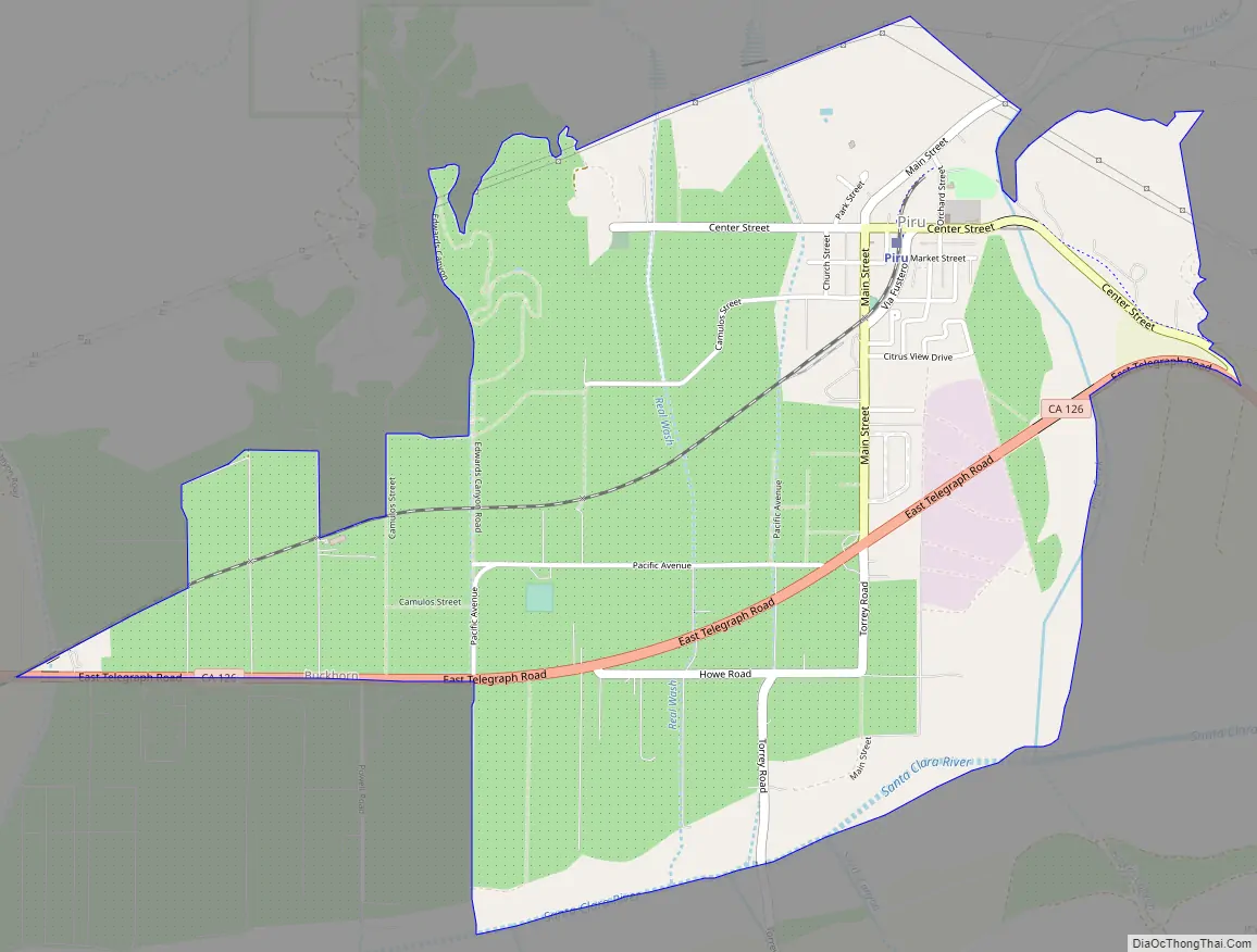
Online Interactive Map
Click on ![]() to view map in "full screen" mode.
to view map in "full screen" mode.
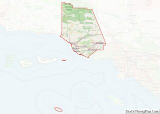
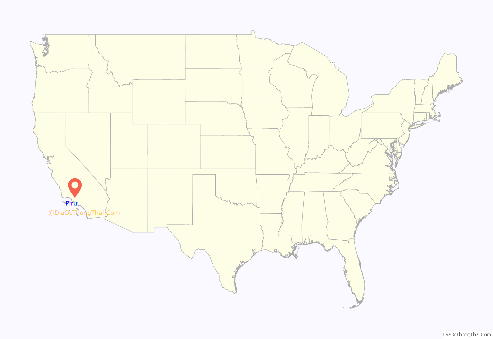
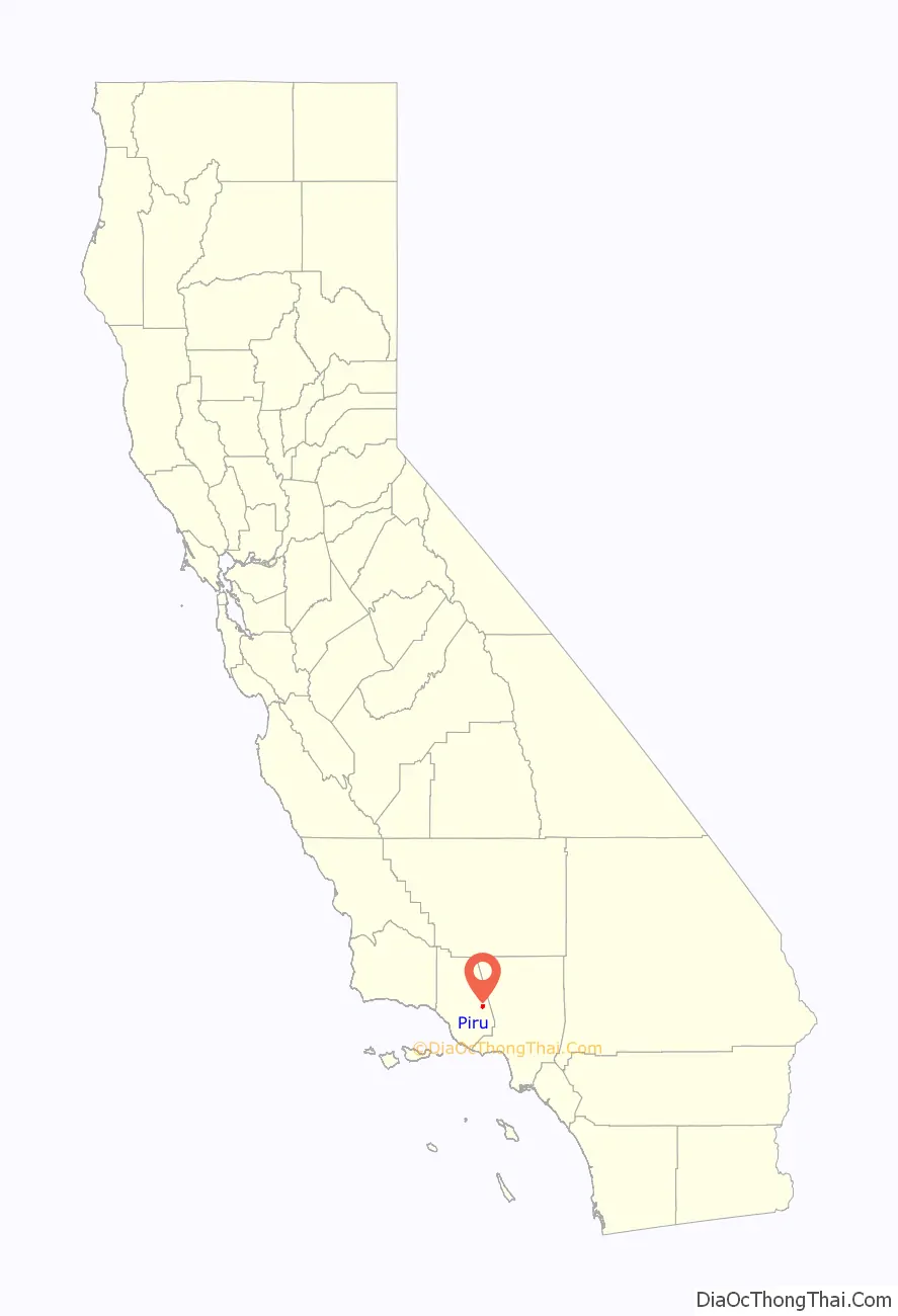
Piru location map. Where is Piru CDP?
History
Indigenous
The area was originally inhabited by the Tataviam, who often established villages along near permanent water sources at lower elevations, including Piru Creek and the Santa Clara River. The Tataviam village of Piiru was the original village of the area. There was also a nearby shared village between the Tataviam and Chumash of Kamulus in the corridor.
Piru Creek was generally known as the place where the Chumash and Tataviam shared the land with one another, being on the respective edges of each of their lands. Important plant foods for the Tataviam included yucca stalks and hearts, acorns, sage seeds, juniper and holly leaf cherry berries. The yucca hearts were collected in the spring each year and roasted in earth ovens.
Rancho and settler town
The town was founded in 1887 by David C. Cook from Elgin, Illinois, a wealthy publisher of Sunday School tracts and supplies who bought the Rancho Temescal Mexican land grant from the sons of Ygnacio del Valle. Wanting to establish a “Second Garden of Eden” in this part of the Santa Clara River Valley, Cook specified, tradition says, that the acreage be planted with fruits identified with the Biblical garden—apricots, dates, figs, grapes, olives and pomegranates. That same year, he built his first home, a Colonial Revival structure, at the southwest corner of Main and Center Streets.
The coast rail line was built through the valley in 1887. Because a small depot was already going to be built in nearby Camulos, Charles Crocker of Southern Pacific Railroad refused to build a depot in Piru. This so annoyed Cook that he built his own depot and hired a stationmaster. Cook laid out the town around the railroad in 1888.
The U.S. Post Office Department established the Piru Post Office on June 14, 1888. Legend has it that the change in pronunciation was brought about by conductors of Southern Pacific Railroad trains, who would shout out, “Pie-roo!” when pulling into town. Another story tells of a Piru restaurant known for good pies. The owner hung a sign proclaiming, “We Put The Pie In Piru.”
In 1890, Cook built a lavish Queen Anne Style home a few blocks northwest of his original home, which came to be known as the Piru Mansion. A strict Methodist, he provided for construction of a church on the north side of Center Street, just west of Main. The church front is used in the movie J.W.Coop starring Cliff Robertson (1972). His home at Main and Center became the Piru Hotel. Cook sold out to the Piru Oil and Land Company in 1900 after being cured of his ailments and realizing a profit due to recent oil discoveries.
For her novel Ramona (1884), Helen Hunt Jackson had used nearby Rancho Camulos as one of the settings. Portions of the 1910 silent movie of the same name, starring Mary Pickford, were shot there. During the production, Pickford, D.W. Griffith and others of the cast and crew, stayed at the Piru Hotel. The hotel later became known as the Mountain View Hotel. The name was later changed to the Round Rock Hotel, because of a large, round boulder located in the northeast corner of the front yard.
20th century
Juan José Fustero (b. ca. 1836), who called himself “the last full-blooded Piru Indian,” died on June 30, 1921. In 1961, a plaque to honor him was placed in Piru Canyon near the place where he lived most of his life.
On December 17, 1922, Jenks Harris, a would-be cowboy actor, and a gang of partners in crime, which included another actor and the president of the Pacific Autoplane Company, robbed the bank in Piru of $11,000. He said, when later caught in Los Angeles, that he conceived of the idea while on location at Piru with the film company Universal and stated he committed the robbery to pay his parent’s mortgage. The gang was each sentenced from one year to life in prison at San Quentin.
In the 1950s, the Round Rock Hotel became the Round Rock Rest Home for elderly tenants, which it remained until 1989. The architectural style and pastoral setting made it a draw for the film industry. It was used in as a set in films such as “The Five Heartbeats” (1991) and “The Silhouette.” (1990).
It then became the Heritage Valley Inn. It is no longer functioning as an inn.
Piru was struck by two major disasters in the 20th century. On the night of March 12, 1928, the St. Francis Dam, to the east in Los Angeles County, broke, sending a torrent of water through the Santa Clara River Valley and causing the deaths of approximately 400 people, a number of which were in Piru. The Northridge earthquake of January 17, 1994, destroyed several buildings in the historic downtown area.
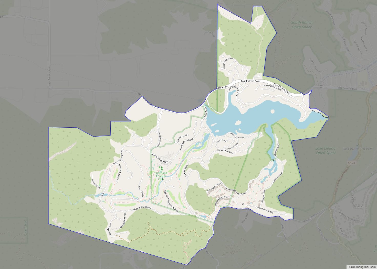
Piru Road Map
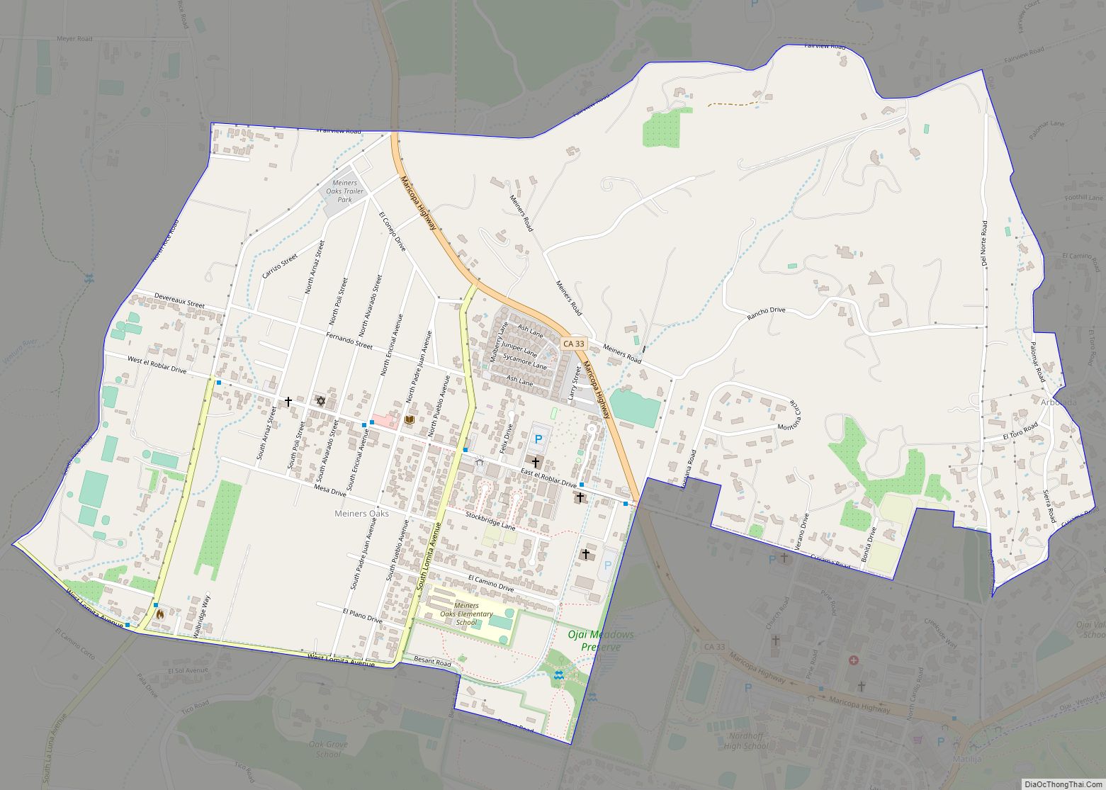
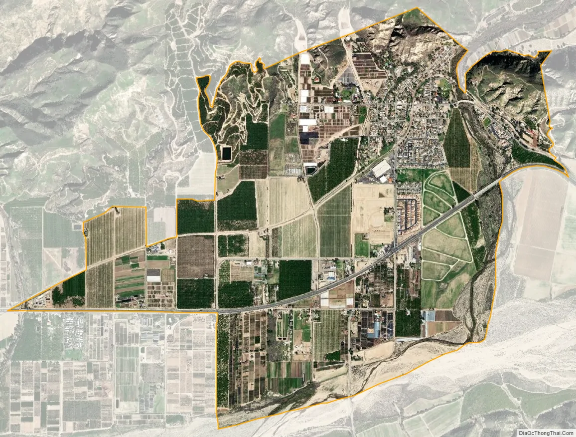
Piru city Satellite Map
Geography
Piru is located at 34°24′26″N 118°47′59″W / 34.40722°N 118.79972°W / 34.40722; -118.79972 (34.407297, −118.799675).
According to the United States Census Bureau, the CDP has a total area of 2.8 square miles (7.3 km), of which 99.45% of it is land and 0.55% is water.
Elevation: 692 feet (211 m).
Piru is located in the Santa Clara River Valley.
Climate
This region experiences warm (but not hot) and dry summers, with no average monthly temperatures above 71.6 °F (22.0 °C). According to the Köppen Climate Classification system, Piru has a warm-summer Mediterranean climate, abbreviated “Csb” on climate maps.
See also
Map of California State and its subdivision:- Alameda
- Alpine
- Amador
- Butte
- Calaveras
- Colusa
- Contra Costa
- Del Norte
- El Dorado
- Fresno
- Glenn
- Humboldt
- Imperial
- Inyo
- Kern
- Kings
- Lake
- Lassen
- Los Angeles
- Madera
- Marin
- Mariposa
- Mendocino
- Merced
- Modoc
- Mono
- Monterey
- Napa
- Nevada
- Orange
- Placer
- Plumas
- Riverside
- Sacramento
- San Benito
- San Bernardino
- San Diego
- San Francisco
- San Joaquin
- San Luis Obispo
- San Mateo
- Santa Barbara
- Santa Clara
- Santa Cruz
- Shasta
- Sierra
- Siskiyou
- Solano
- Sonoma
- Stanislaus
- Sutter
- Tehama
- Trinity
- Tulare
- Tuolumne
- Ventura
- Yolo
- Yuba
- Alabama
- Alaska
- Arizona
- Arkansas
- California
- Colorado
- Connecticut
- Delaware
- District of Columbia
- Florida
- Georgia
- Hawaii
- Idaho
- Illinois
- Indiana
- Iowa
- Kansas
- Kentucky
- Louisiana
- Maine
- Maryland
- Massachusetts
- Michigan
- Minnesota
- Mississippi
- Missouri
- Montana
- Nebraska
- Nevada
- New Hampshire
- New Jersey
- New Mexico
- New York
- North Carolina
- North Dakota
- Ohio
- Oklahoma
- Oregon
- Pennsylvania
- Rhode Island
- South Carolina
- South Dakota
- Tennessee
- Texas
- Utah
- Vermont
- Virginia
- Washington
- West Virginia
- Wisconsin
- Wyoming