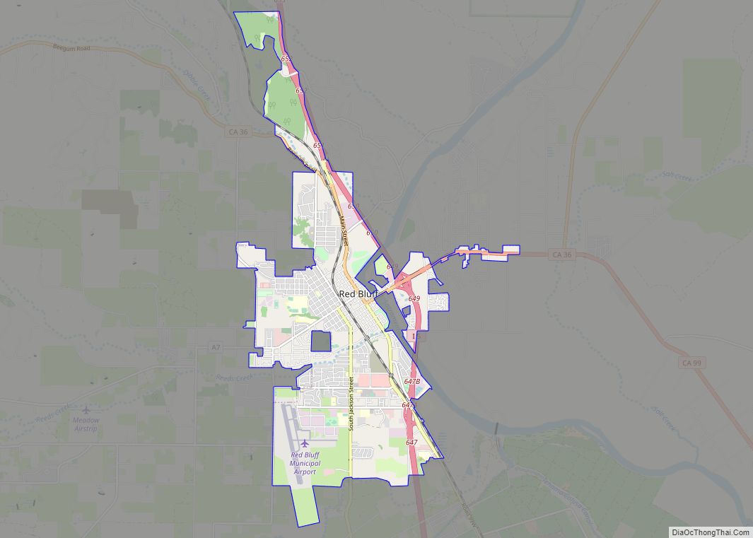
Map of Redondo Beach city

Map of Redondo Beach city

Redondo Beach (Spanish for ’round’) is a coastal city in Los Angeles County, California, United States, located in the South Bay region of the Greater Los Angeles area. It is one of three adjacent beach cities along the southern portion of Santa Monica Bay. The population was 71,576 at the 2020 census, up from 66,748 … Read more

Map of Redlands city

Map of Redlands city, California

Redlands (/ˈrɛdləndz/ RED-ləndz) is a city in San Bernardino County, California, United States. As of the 2020 census, the city had a population of 73,168, up from 68,747 at the 2010 census. The city is located approximately 45 miles (72 km) west of Palm Springs and 63 miles (101 km) east of Los Angeles. Redlands city overview: … Read more

Map of Redding city

Map of Redding city, California

Redding is the economic and cultural capital of the Shasta Cascade region of Northern California and the county seat of Shasta County. Redding lies along the Sacramento River, 162 miles (261 km) north of Sacramento, and 120 miles (190 km) south of California’s northern border with Oregon. Its population is 95,542 as of the 2022 census, up … Read more

Map of Redwood Valley CDP

Map of Redwood Valley CDP

Redwood Valley (formerly Basil) is a census-designated place (CDP) in Mendocino County, California, United States. It is located 9 miles (14 km) north of Ukiah, the county seat, at an elevation of 722 feet (220 m), and comprises the northern portion of the Ukiah Valley. It is about 15 miles (24 km) southeast of Willits. Potter Valley is … Read more

Map of Redwood City city

Map of Redwood City

Redwood City is a city on the San Francisco Peninsula in Northern California‘s Bay Area, approximately 27 miles (43 km) south of San Francisco, and 24 miles (39 km) northwest of San Jose. Redwood City’s history spans its earliest inhabitation by the Ohlone people to being a port for lumber and other goods. The county seat of … Read more

Map of Redway CDP

Map of Redway CDP

Redway is a census-designated place (CDP) in Humboldt County, California, United States. Redway is located 2.25 miles (3.6 km) northwest of Garberville, at an elevation of 538 feet (164 m). The population was 1,225 at the 2010 census, up from 1,188 at the 2000 census. Redway is also home to Redway Elementary School, with grades K–6. Redway … Read more

Map of Rialto city

Map of Rialto city

Rialto is a city in San Bernardino County, California, United States, 56 miles east of Los Angeles, near the Cajon Pass, Interstate 15, Interstate 10, State Route 210 and Metrolink routes. Its population was 104,026 as of the 2020 Census, up from 99,171 at the 2010 Census. Its population and economic activity have grown rapidly … Read more

Map of Reliez Valley CDP

Map of Reliez Valley CDP

Reliez Valley is a census-designated place in Contra Costa County, California. Reliez Valley sits at an elevation of 299 feet (91 m). The 2010 United States census reported Reliez Valley’s population was 3,101. Reliez Valley CDP overview: Name: Reliez Valley CDP LSAD Code: 57 LSAD Description: CDP (suffix) State: California County: Contra Costa County Elevation: 299 ft … Read more

Map of Reedley city

Map of Reedley city

Reedley is a city in Fresno County, California, United States. It is located in the San Joaquin Valley, 22 miles (35 km) east-southeast of Fresno, at an elevation of 348 feet (106 m). The population at the 2010 census was 24,194. Its chief economic source is agriculture, particularly fruit and vegetable cultivation and has thus dubbed itself … Read more

Map of Richvale CDP

Map of Richvale CDP

Richvale (also, Richland, Silbys Switch, Silsby) is a small census-designated place (population 244) in Butte County, California, US, south of Chico and west of Oroville. The primary crop grown in the area surrounding Richvale is rice, irrigated from the Oroville Dam on the Feather River. Several farmers in the area are known for organic farming. … Read more

Map of Richgrove CDP

Map of Richgrove CDP

Richgrove is a census-designated place (CDP) in Tulare County, California, United States. The population was 2,358 at the 2020 United States census, down from 2,882 at the 2010 census. Richgrove CDP overview: Name: Richgrove CDP LSAD Code: 57 LSAD Description: CDP (suffix) State: California County: Tulare County Elevation: 515 ft (157 m) Total Area: 0.452 sq mi (1.171 km²) Land … Read more

Map of Richfield CDP

Map of Richfield CDP, California

Richfield is a census-designated place (CDP) in Tehama County, California. Richfield sits at an elevation of 269 feet (82 m). The 2010 United States census reported Richfield’s population was 306. Richfield CDP overview: Name: Richfield CDP LSAD Code: 57 LSAD Description: CDP (suffix) State: California County: Tehama County Elevation: 269 ft (82 m) Total Area: 0.560 sq mi (1.450 km²) Land … Read more