Redding is the economic and cultural capital of the Shasta Cascade region of Northern California and the county seat of Shasta County. Redding lies along the Sacramento River, 162 miles (261 km) north of Sacramento, and 120 miles (190 km) south of California’s northern border with Oregon. Its population is 95,542 as of the 2022 census, up from 89,861 from the 2010 census.
| Name: | Redding city |
|---|---|
| LSAD Code: | 25 |
| LSAD Description: | city (suffix) |
| State: | California |
| County: | Shasta County |
| Incorporated: | October 4, 1887 |
| Elevation: | 564 ft (172 m) |
| Total Area: | 61.17 sq mi (158.44 km²) |
| Land Area: | 59.65 sq mi (154.48 km²) |
| Water Area: | 1.53 sq mi (3.96 km²) 2.50% |
| Total Population: | 93,611 |
| Population Density: | 1,500/sq mi (590/km²) |
| ZIP code: | 96001–96003, 96049, 96099 |
| Area code: | 530 |
| FIPS code: | 0659920 |
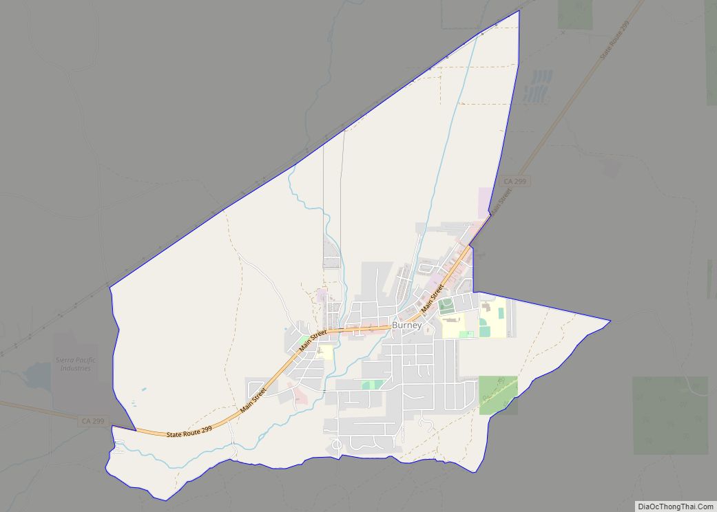
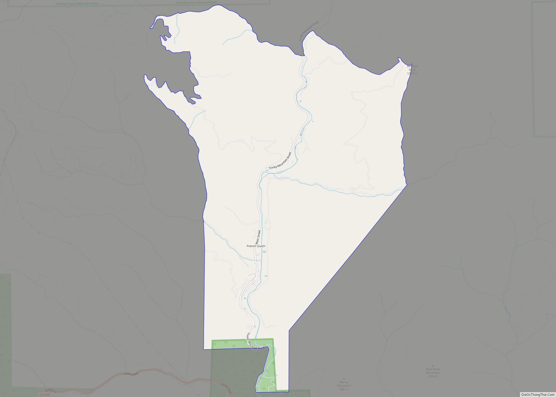
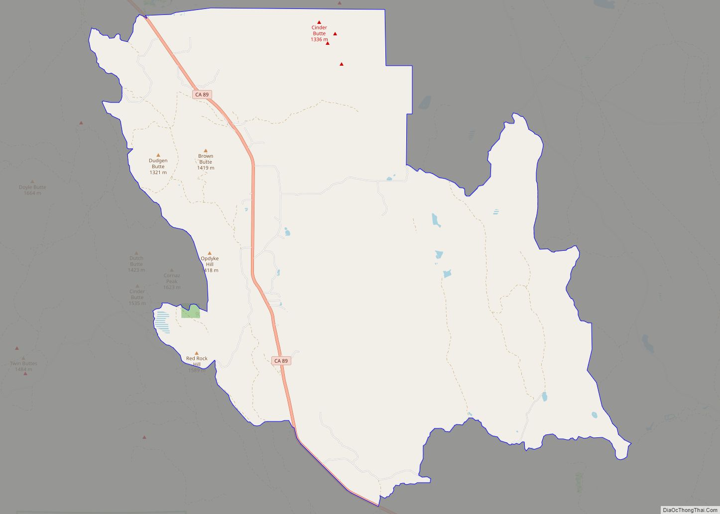
Online Interactive Map
Click on ![]() to view map in "full screen" mode.
to view map in "full screen" mode.
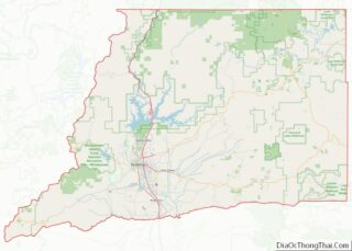
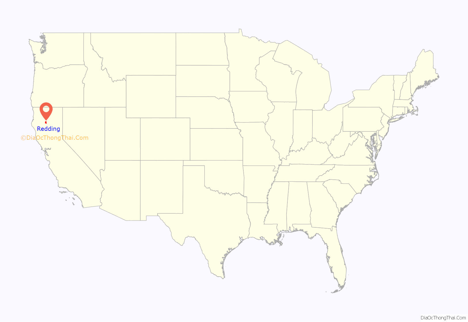
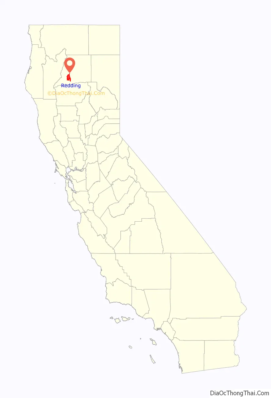
Redding location map. Where is Redding city?
History
Indigenous culture
Before European settlers came to the area, it was inhabited by a tribe of Native Americans called the Wintu. At their height, the Wintu had as many as 239 villages in the Shasta County area.
Spanish and Mexican eras
Although Europeans had been to California as early as 1542, when Juan Cabrillo sailed to what is now the San Diego Bay, the indigenous natives were probably the only inhabitants of far Northern California region until Russian fur trappers came through the area in 1815.
The first European settlement in the area was established in 1844 by Pierson B. Reading, an early California pioneer who received a Rancho Buena Ventura Mexican land grant for 26,632 acres (10,778 ha) that is now covered by Redding and Cottonwood, California. At the time, it was the northernmost nonnative settlement in California.
Gold Rush era
During the Gold Rush, 49ers found gold to the north on Rock, Middle and Salt creeks, near Shasta, California, and to the south along Oregon and Olney creeks but the area that is now Redding was poor placer gold ground and called Poverty Flats. In 1868 the first land agent for the Central Pacific Railroad, a former Sacramento politician named Benjamin B. Redding, bought property in Poverty Flats on behalf of the railroad for a northern terminus, which the tracks reached in 1872. In the process of building the terminus, the railroad also built the town of Redding which was officially incorporated on October 4, 1887. In 1888, Redding won the county seat from Shasta.
20th century
In the early twentieth century the town’s economic growth was spurred by the significant copper and iron mineral extraction industry nearby. The mining industry eventually declined, causing the economy and population to falter by 1920. It recovered in the thirties as the economy boomed due to the construction of Shasta Dam to the northwest. The building of the dam, which was completed in 1945, caused Redding’s population to nearly double, also spurring the growth and development of other towns in the area.
Redding continued to grow steadily in the 1950s due to the region’s growing lumber industry and tourism brought about by the newly completed dam. The constructions of Whiskeytown and Keswick dams also helped boost the economy by bringing new workers to the area. Interstate 5 was built during the sixties and seventies, which added to development and tourism in the region.
Growth in Redding during the 1960s and 1970s was further spurred by the annexation of an area east of the Sacramento River that included the unincorporated community of Enterprise; the residents voted to support the annexation primarily to acquire less expensive electricity via Redding’s municipal utility, which receives power from the dam.
During the 1970s, the lumber industry suffered from decline. In the early 1990’s Lumber mills in the area closed down due to the preservation of the living habitat of the Spotted Owl. This heavily impacted the Redding area. The economy picked up, due to a retail and housing boom in the late 1980s that continued until the mid-1990s.
Also in the 1970s, the Market Street Redevelopment Project, established in 1968, began the development of the Midtown Mall. The mall was established to prevent further property deterioration and to restore and maintain the economic health of the downtown area’s comercial and retail activity. The mall suffered multiple difficulties. The passage of Proposition 13 in 1978 reduced the mall’s property valuation and consequently, the city had to continuously loan money to keep the bonds for the mall’s parking structure from going into default; the bonds completely repaid in 2003 and Midtown began to pay off its more than $1.5 million debt to the City of Redding. By the 1980s, the properties around the mall and along the old State Highway 99/273 corridor continued to suffer urban blight, including deteriorating and dilapidated utilities and structures and inappropriate mixed land uses; this required further public intervention in the form of another Market Street Redevelopment Project with significant changes to Midtown in 1990 to include a mix of residential and commercial land around the original project.
21st century
Following redevelopment of Midtown, property values within the Market Street Redevelopment Project area improved; further redevelopment continued. A plan for the downtown area adopted in January 2001 led to the renovation of the historic Cascade Theatre, the removal of the Midtown Mall roof creating an open air pedestrian street, the installation of a visitor way-finding system, the completion of a Health Sciences and University Center with partnership with Shasta College, and the renovation of various buildings along California Street with the help of a private developer.
In 2017, the city adopted a new flag after holding a redesign contest.
The 21st century has also seen a number of devastating wildfires near and in Redding. In 1999, the Jones Fire destroyed over 100 structures, followed by the Bear Fire in 2004. In late July 2018, the Carr Fire in Shasta County seriously impacted the Redding area with the destruction of at least 1,100 buildings, with several thousand more threatened, 38,000 people instructed to evacuate and 6 deaths. Most recently, the Fawn Fire in 2021 also resulted in the evacuation of over 4,000 people and the destruction of 185 buildings.
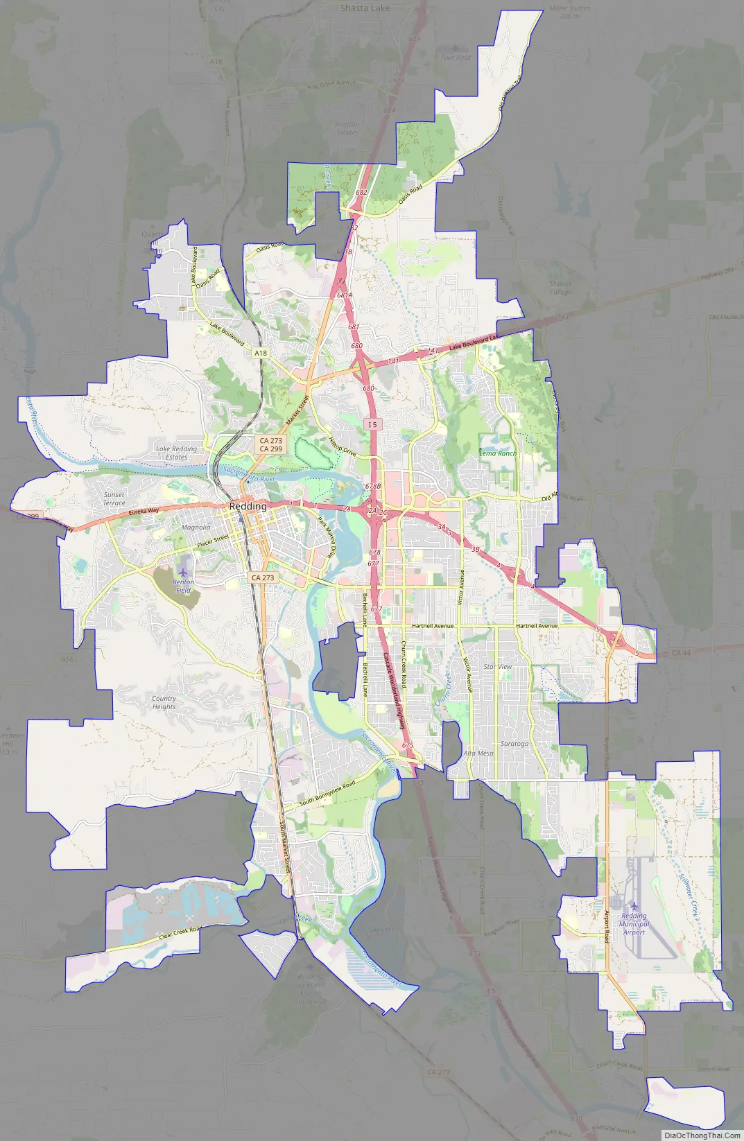
Redding Road Map
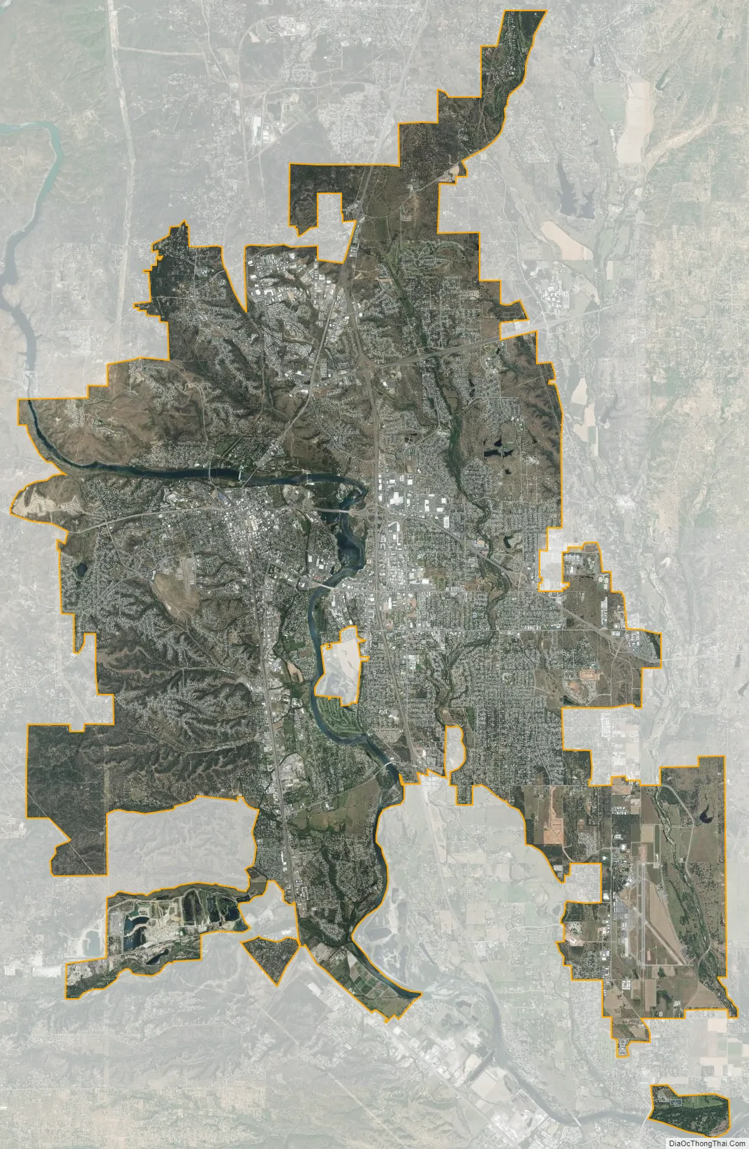
Redding city Satellite Map
Geography
According to the United States Census Bureau, the city has a total area of 61.2 square miles (159 square kilometers). 59.6 square miles (154 km) of it is land, and 1.5 square miles (3.9 km) of it (2.50%) is beneath water.
Redding is located at the very northwestern end of the Central Valley, which transitions into the Cascade foothills. The city is surrounded by mountains to the north, east, and west and fertile farm land to the south. Outermost parts of the city are part of the Cascade foothills, whereas southern and central areas are in the Sacramento Valley.
The elevation in Redding is 495 feet (151 meters) on average, whereas anywhere to the north, east, or west of downtown ranges between 550 feet (170 m) and 800 feet (240 m) feet. Southern portions range between 400 feet (120 m) and 500 feet (150 m).
The Shasta Dam on the Sacramento River provides a considerable level of flood protection for Redding. The dam is capable of controlling flows up to 79,000 cubic feet (7,300 cubic meters) per second. The flow rate exceeded this threshold in both 1970 and 1974.
Soils in and around town are composed mostly of clay or gravelly loam texture, with red or brown mineral horizons. They are slightly or moderately acidic in their natural state.
There are several rare and endangered species in Redding and its immediate vicinity. The Redding Redevelopment Plan EIR notes the California State listed endangered species, slender Orcutt grass (Orcuttia tenuis), occurs in eastern Redding near the municipal airport, where vernal pools are known to exist. This endemic grass is a Federal Candidate for listing and is endangered throughout its range, confined to several populations, and seriously threatened by agriculture, overgrazing, and residential development. Vernal pools provide the preferred habitat for this plant, which the California Native Plant Society considers a rare and endangered species. These same vernal pools also support federally protected species such as the federally threatened vernal pool fairy shrimp (Branchinecta lynchi).
Climate
Redding has a hot-summer Mediterranean climate (Köppen: Csa), with very hot, dry summers and cool, wet winters. Redding is known for very high summer temperatures, despite being located just north of the 40th Parallel North. Winter (October–April) provides the most precipitation of any season in Redding—the weather tends to be either rainy or foggy and at times, snow occurs. While summers are mostly hot and dry, thunderstorms are not uncommon. The average daily maximum temperature in July stays near 100 °F (37.8 °C). The highest official recorded temperature in Redding was 118 °F (48 °C) on July 20, 1988, recorded at the nearby Redding Regional Airport and the most recent of three occasions; however, some residents say they recall a high temperature of 121 in the summer of 1981 and even just recently, 126 in the summer of 2020. Redding has an average possible sunshine of 88%, the second-highest percentage (after Yuma, Arizona) of any US city.
Summer overnight lows are unusually warm by Sacramento Valley standards and average warmer than coastal towns’ daytime highs. The warmest night annually averages 79 °F (26 °C). Since the station opened in 1986, the hottest night was 86 °F (30 °C) in June 2004. Redding’s warm summer days and nights compared to areas further south are a result of a greater distance to maritime influences than the lower end of the valley.
Redding occasionally receives snow, though it has received as much as 23 inches (58 centimeters) of snow in a single storm, occurring on December 4–7, 1909 and December 22–24, 1968, including 16 in (41 cm) on December 23, 1968, the most in any calendar day on record. It rarely gets sleet or freezing rain. Frost occurs commonly in December through February, less often in March or November. In spring, rain is common. The city is located near the foothills of the Cascade and Klamath mountain ranges and it therefore gets much more rain than most places in the Sacramento Valley; temperature differentials between land and sea cause moist air from the latter to flow over the southern Sacramento valley during the summer months, producing intense heat in Redding. The direction of this winds switches from the north and east in the summer, as hot, high-pressure air flows from land to sea, making the area very dry. Tornadoes are extremely rare; flooding occurs only around the area near the Sacramento River. The coldest temperature recorded in Redding was 16 °F (−9 °C) on January 17, 2012, and December 9, 2009. The coldest daytime high of the year is averaging 41 °F (5 °C) and the lowest on record is 29 °F (−2 °C) in 1990, which remains the latest year to record an ice day.
See also
Map of California State and its subdivision:- Alameda
- Alpine
- Amador
- Butte
- Calaveras
- Colusa
- Contra Costa
- Del Norte
- El Dorado
- Fresno
- Glenn
- Humboldt
- Imperial
- Inyo
- Kern
- Kings
- Lake
- Lassen
- Los Angeles
- Madera
- Marin
- Mariposa
- Mendocino
- Merced
- Modoc
- Mono
- Monterey
- Napa
- Nevada
- Orange
- Placer
- Plumas
- Riverside
- Sacramento
- San Benito
- San Bernardino
- San Diego
- San Francisco
- San Joaquin
- San Luis Obispo
- San Mateo
- Santa Barbara
- Santa Clara
- Santa Cruz
- Shasta
- Sierra
- Siskiyou
- Solano
- Sonoma
- Stanislaus
- Sutter
- Tehama
- Trinity
- Tulare
- Tuolumne
- Ventura
- Yolo
- Yuba
- Alabama
- Alaska
- Arizona
- Arkansas
- California
- Colorado
- Connecticut
- Delaware
- District of Columbia
- Florida
- Georgia
- Hawaii
- Idaho
- Illinois
- Indiana
- Iowa
- Kansas
- Kentucky
- Louisiana
- Maine
- Maryland
- Massachusetts
- Michigan
- Minnesota
- Mississippi
- Missouri
- Montana
- Nebraska
- Nevada
- New Hampshire
- New Jersey
- New Mexico
- New York
- North Carolina
- North Dakota
- Ohio
- Oklahoma
- Oregon
- Pennsylvania
- Rhode Island
- South Carolina
- South Dakota
- Tennessee
- Texas
- Utah
- Vermont
- Virginia
- Washington
- West Virginia
- Wisconsin
- Wyoming