Red Bluff is a city in and the county seat of Tehama County, California, United States. The population was 14,710 at the 2020 census, up from 14,076 at the 2010 census.
It is located 131 miles (211 kilometers) north of Sacramento, 31 miles (50 km) south of Redding, and it is bisected by Interstate 5. Red Bluff is situated on the banks of the upper Sacramento River.
It was originally known as Leodocia, but was renamed to Covertsburg in 1853. It got its current name in 1854. Located at the head of navigation on the Sacramento River the town flourished in the mid to late 19th century as a landing point for miners heading to the Trinity County gold fields and later as a temporary terminus for the Southern Pacific Railroad’s northward expansion.
| Name: | Red Bluff city |
|---|---|
| LSAD Code: | 25 |
| LSAD Description: | city (suffix) |
| State: | California |
| County: | Tehama County |
| Incorporated: | March 31, 1876 |
| Elevation: | 305 ft (93 m) |
| Land Area: | 7.56 sq mi (19.58 km²) |
| Water Area: | 0.11 sq mi (0.30 km²) 1.48% |
| Population Density: | 1,900/sq mi (740/km²) |
| ZIP code: | 96080 |
| Area code: | 530 |
| FIPS code: | 0659892 |
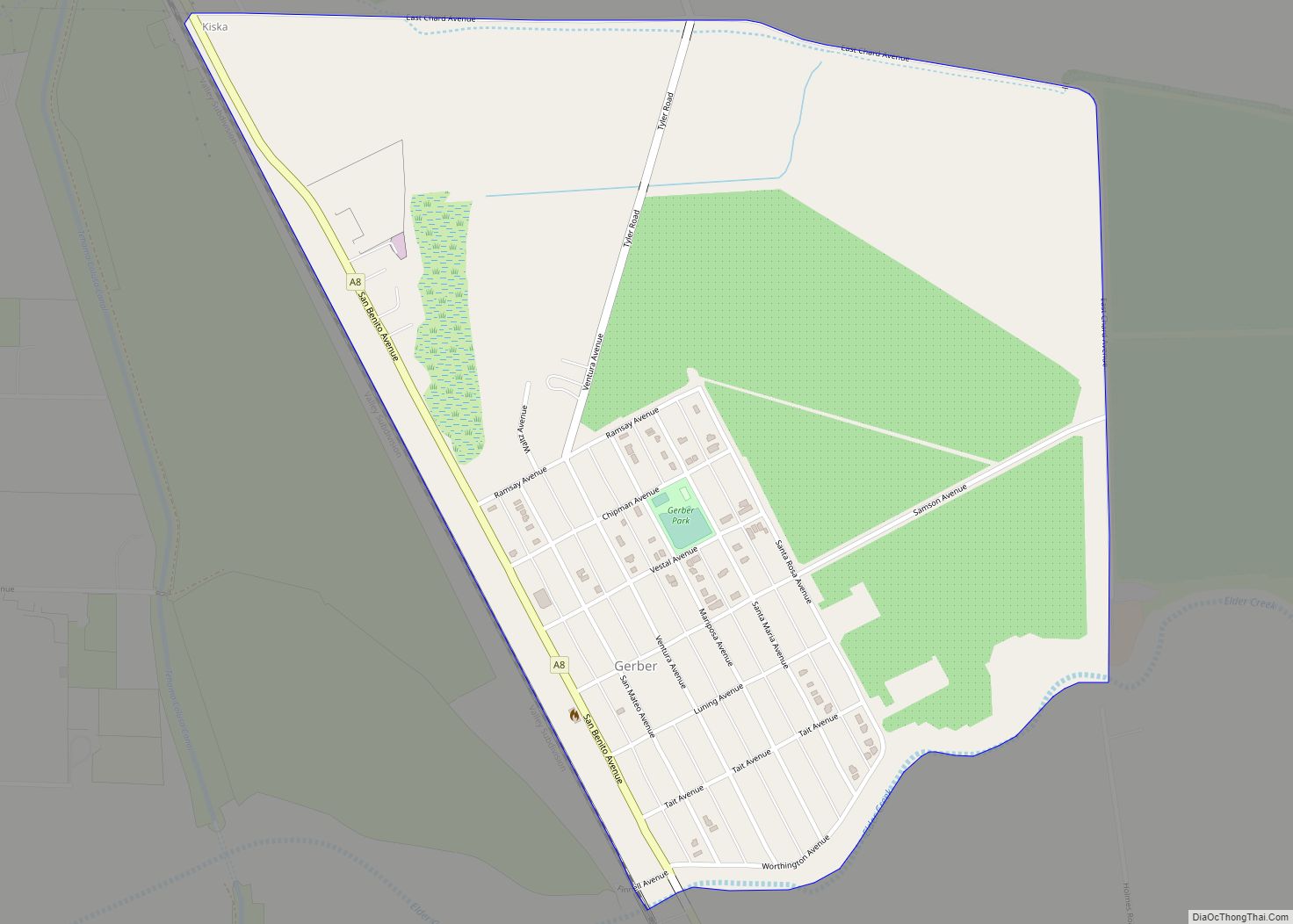
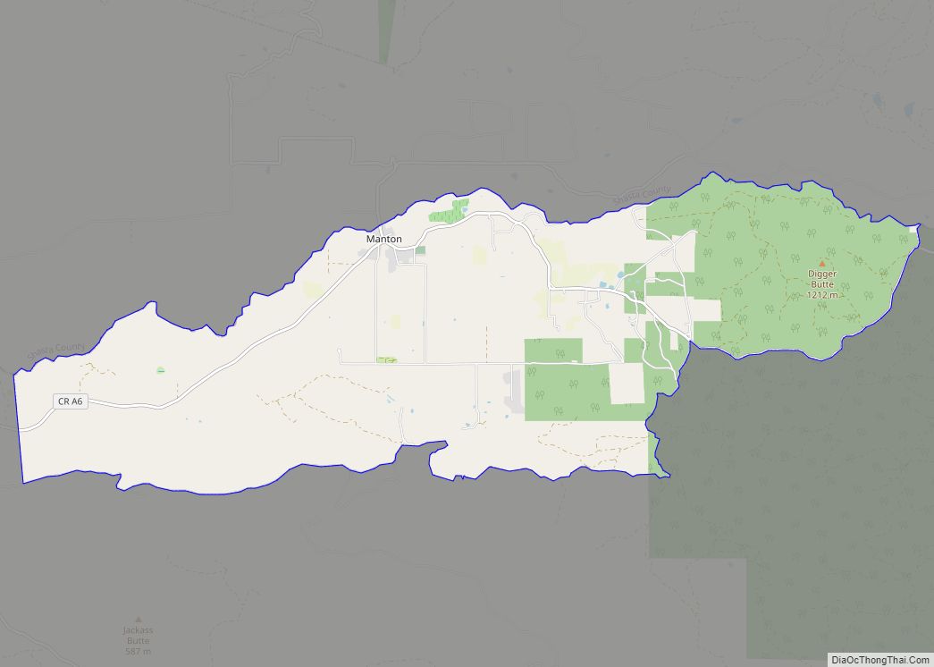
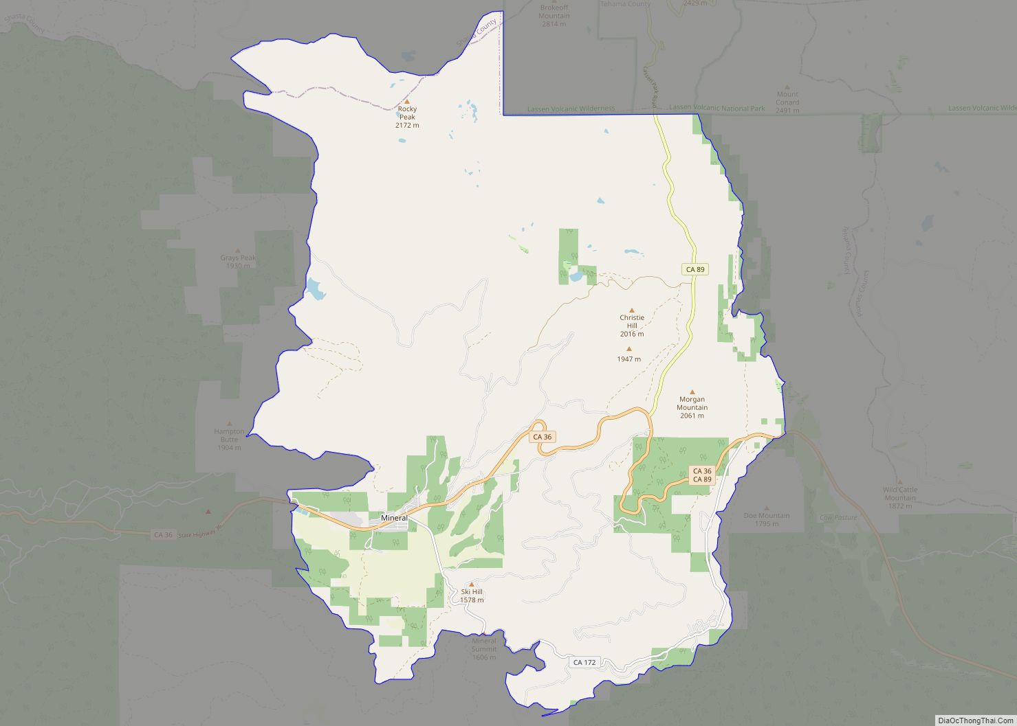
Online Interactive Map
Click on ![]() to view map in "full screen" mode.
to view map in "full screen" mode.
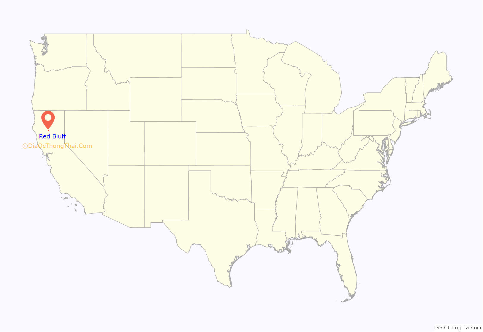
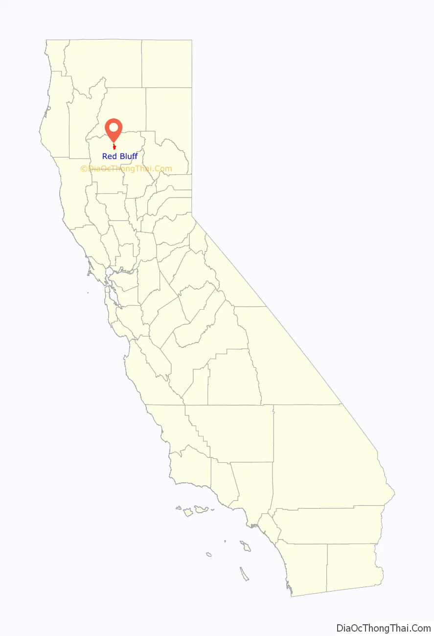
Red Bluff location map. Where is Red Bluff city?
History
In the early 19th century the Siskiyou Trail was the main north to south path connecting Northern California and Southern Oregon first used by the Native Americans and later fur trappers and hunters. The first European to settle the northern Sacramento Valley in what was then Alta California was Peter Lassen who in 1844 was granted the 24,000 acre Rancho Bosquejo tract from the Mexican government near present-day Vina, about 20 miles southeast of Red Bluff. There he proposed to establish a town but his attempts were thwarted when the California Gold Rush stole the focus of the settlers he had gathered in Missouri. Regardless, the publicity from his colonization efforts attracted new settlers to the valley. In the late 1840s riverboat traffic began expanding northward along the Sacramento River. Lassen’s initial attempt to navigate to his ranch in 1849 had failed but the following year a riverboat managed to make the arduous 125-mile journey from Sacramento in 5 months before ultimately being sunk. The discovery of gold near Yreka, California in 1851 brought a new rush northward and settlers soon flooded the area, looking for the quickest route to the gold fields. A site on the Sacramento River just north of Reeds Creek was determined to be the river’s navigable head and a small community soon sprung up around the important landing. First known as Leodocia then Covertsburg, by then time a post office was established on October 17, 1853, residents had settled on the name Red Bluff, in recognition of the titular geographical features once prominent along the banks of the Sacramento River. The first postmaster was Samuel Bishop.
Tehama County was created in 1856 and Red Bluff was chosen as the new county’s seat. By 1859 the first permanent courthouse was constructed.
As early as 1854, committees were brought together at Red Bluff to plan a railroad route connecting California to southern Oregon through the Siskyou Mountains via Nobles Pass. The railroad finally reached Red Bluff in 1872 and for a few years it was the terminus, increasing the town’s wealth greatly. In the 1880s white supremacists in Red Bluff began an ethnic cleansing campaign against the Chinese residents. In February 1886 thousands of whites in the “Anti-Coolie League” marched on Chinatown and went from house to house, ordering the occupants to leave within ten days. Later that year, after the Chinese population had been expelled, the Chinatown was burned.
Growth slowed by the late 1880s when the railroad was continued north towards Redding but river boat commerce continued well into the 20th century. Mining was largely replaced by agriculture and Red Bluff remained a vital shipping point by rail and eventually highway.
In June 2020, a local Walmart distribution center was the site of a workplace shooting, in which an employee was killed and another four injured. The shooter, identified as a former employee at the distribution center, was then killed by responding police officers.
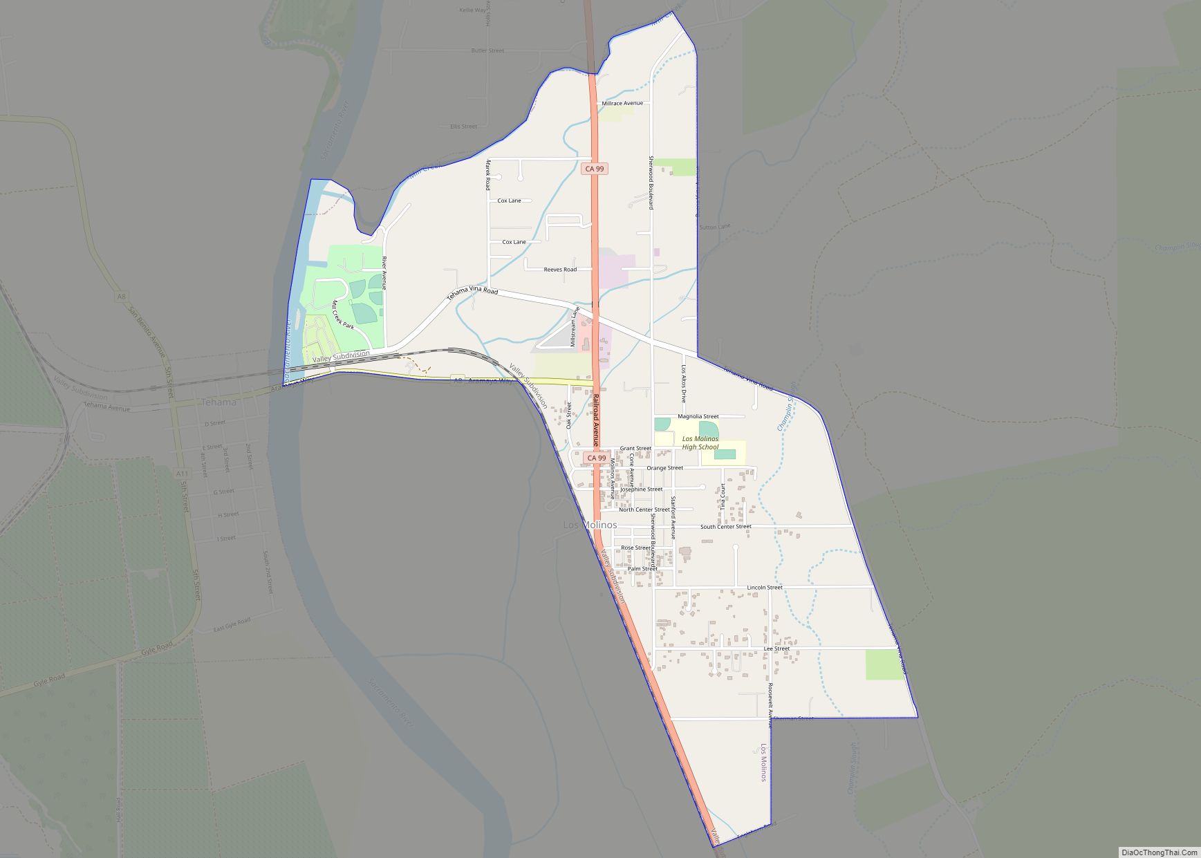
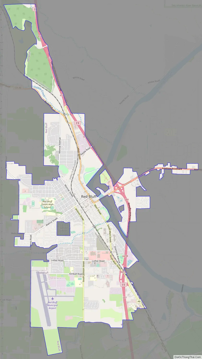
Red Bluff Road Map
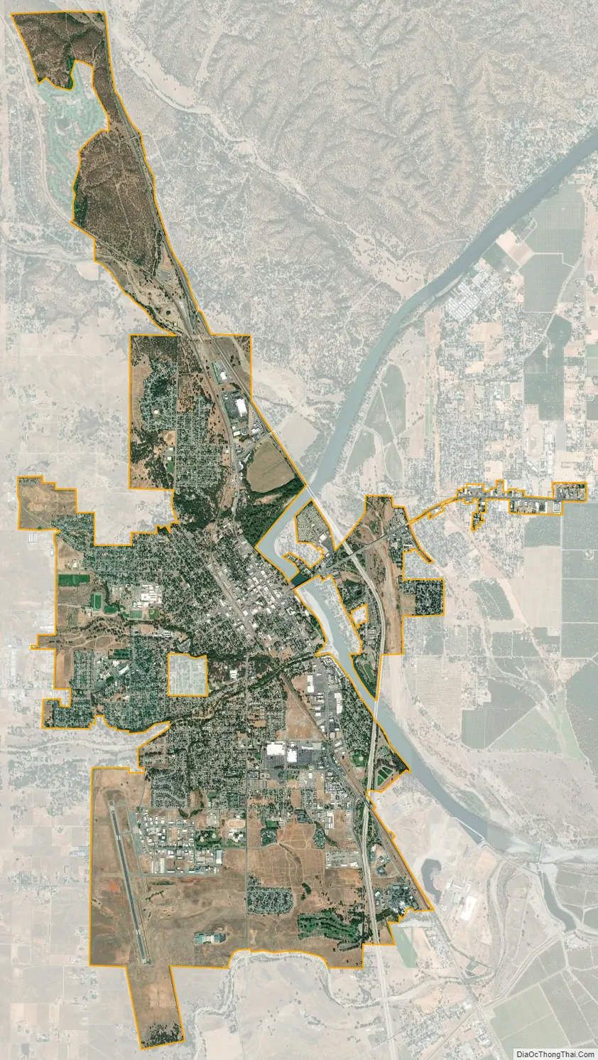
Red Bluff city Satellite Map
Geography
Red Bluff is on the northern edge of the Sacramento Valley, and is the third largest city in the Shasta Cascade region. It is about 31 miles (50 km) south of Redding, 40 miles (64 km) northwest of Chico, and 131 miles (211 km) north of Sacramento.
The city is located at 40°10′36″N 122°14′17″W / 40.17667°N 122.23806°W / 40.17667; -122.23806 (40.176640, -122.237951). According to the United States Census Bureau, the city has a total area of 7.7 square miles (20 square kilometers). 7.6 square miles (20 km) of it is land and 0.1 square miles (0.26 km) of it is water. The total area is 1.48% water.
See also
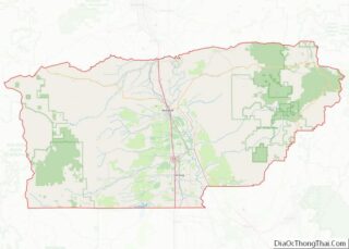
Map of California State and its subdivision:- Alameda
- Alpine
- Amador
- Butte
- Calaveras
- Colusa
- Contra Costa
- Del Norte
- El Dorado
- Fresno
- Glenn
- Humboldt
- Imperial
- Inyo
- Kern
- Kings
- Lake
- Lassen
- Los Angeles
- Madera
- Marin
- Mariposa
- Mendocino
- Merced
- Modoc
- Mono
- Monterey
- Napa
- Nevada
- Orange
- Placer
- Plumas
- Riverside
- Sacramento
- San Benito
- San Bernardino
- San Diego
- San Francisco
- San Joaquin
- San Luis Obispo
- San Mateo
- Santa Barbara
- Santa Clara
- Santa Cruz
- Shasta
- Sierra
- Siskiyou
- Solano
- Sonoma
- Stanislaus
- Sutter
- Tehama
- Trinity
- Tulare
- Tuolumne
- Ventura
- Yolo
- Yuba
- Alabama
- Alaska
- Arizona
- Arkansas
- California
- Colorado
- Connecticut
- Delaware
- District of Columbia
- Florida
- Georgia
- Hawaii
- Idaho
- Illinois
- Indiana
- Iowa
- Kansas
- Kentucky
- Louisiana
- Maine
- Maryland
- Massachusetts
- Michigan
- Minnesota
- Mississippi
- Missouri
- Montana
- Nebraska
- Nevada
- New Hampshire
- New Jersey
- New Mexico
- New York
- North Carolina
- North Dakota
- Ohio
- Oklahoma
- Oregon
- Pennsylvania
- Rhode Island
- South Carolina
- South Dakota
- Tennessee
- Texas
- Utah
- Vermont
- Virginia
- Washington
- West Virginia
- Wisconsin
- Wyoming