Rialto is a city in San Bernardino County, California, United States, 56 miles east of Los Angeles, near the Cajon Pass, Interstate 15, Interstate 10, State Route 210 and Metrolink routes.
Its population was 104,026 as of the 2020 Census, up from 99,171 at the 2010 Census. Its population and economic activity have grown rapidly in recent years due to the building of major distribution centers in the region.
The U.S. Army Rialto Ammunition Storage point was used during World War II to support operations in the Pacific theater.
Rialto is home to major regional distribution centers: Staples Inc., which serves stores across the entire West Coast of the United States, Amazon (company), Under Armour, Medline Industries, Niagara Bottling, Monster Energy and Target in the northern region of the city, in the Las Colinas community. One of the United States’ largest fireworks companies, Pyro Spectaculars, is also headquartered in Rialto.
| Name: | Rialto city |
|---|---|
| LSAD Code: | 25 |
| LSAD Description: | city (suffix) |
| State: | California |
| County: | San Bernardino County |
| Incorporated: | November 17, 1911 |
| Elevation: | 1,257 ft (383 m) |
| Total Area: | 24.09 sq mi (62.41 km²) |
| Land Area: | 24.09 sq mi (62.41 km²) |
| Water Area: | 0.00 sq mi (0.00 km²) 0.06% |
| Total Population: | 104,026 |
| Population Density: | 4,300/sq mi (1,700/km²) |
| ZIP code: | 92376–92377 |
| Area code: | 909 |
| FIPS code: | 0660466 |
| Website: | www.yourrialto.com |
Online Interactive Map
Click on ![]() to view map in "full screen" mode.
to view map in "full screen" mode.
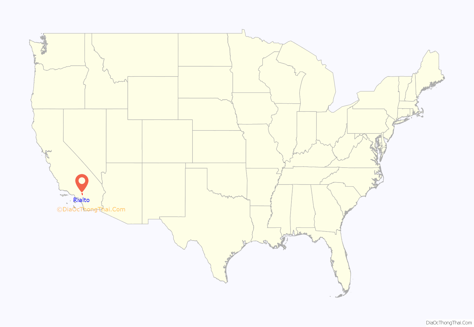
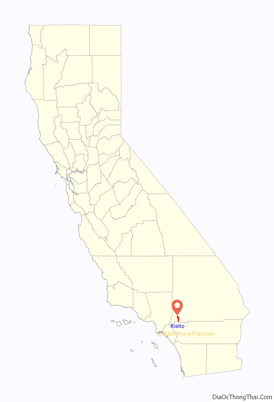
Rialto location map. Where is Rialto city?
History
Ancient artifacts discovered by archaeologists suggest that what is now the city of Rialto was settled prior to 1500. Such artifacts, now found at the Rialto Historical Society, indicate that the Serrano Indians lived in the Rialto area between 1500 and 1800 AD.
An adobe building from the early 19th century, which has been used for many purposes over the years, is the oldest building still standing in Rialto and stands restored near Bud Bender Park, formerly known as “Lilac Park” on Second Street and Riverside Avenue.
In 1842, the Lugo family was granted the Rancho San Bernardino—a holding of 37,700 acres—which encompassed Rialto. In 1851, the Mountain Family purchased part of the Lugo family’s Rancho San Bernardino, and claimed several other portions of the ranch which later became known as Rialto. This claim was later amended by the United States Government, permitting them a smaller fraction of the initial purchase.
In 1887 a railroad connector line was built between San Bernardino and Pasadena by the Santa Fe Railroad. Along the line, townsites were located every 2,600 yards (2,400 m) [mile and a half] and by the fall of that year over 25 new towns were being built. This same year the Semitropic Land and Water Company was formed to organize the purchase and selling of real estate, water, and water rights and privileges. A Methodist colony developed which was named after the Rialto Bridge in Venice, Italy, considered a central meeting place for Venetians.
In the fall of 1888, the first school was built and Brooke School District was formed. Records show that up until 1920, the Brooke School District was in continuous operation, except for a very short time in 1888. The prominent Rialto Trapp family bought the first school house in 1921, remodeled the building, and members of the family resided in it until it was destroyed by fire. The Rialto School District (today Rialto Unified School District), was formed in 1891. The staff consisted of two teachers and a principal with separate play areas for the boys and girls.
In 1901 a cemetery was established in the township. It is administered by the City Treasurer.
The Chamber of Commerce was established in 1907. The Chamber incorporated in the spring of 1911. By 1911 the population had grown to 1,500 with 40 businesses and a local newspaper. The election results on October 31 of the same year were 135 votes for the incorporation of the city and 72 against.
Foothill Boulevard was repaired in 1913 and became U.S. Route 66, a section of the U.S. highway system. In 1914 Los Angeles’ Pacific Electric Railway completed its San Bernardino Line through the City of Rialto, with a junction at Riverside Avenue for the Riverside Line. Today the Tracks above First Street are a part of the Union Pacific and the Pacific Electric depot on Riverside Avenue is Cuca’s Restaurant.
A fire in the 1920s swept through and destroyed many of the buildings in the downtown area.
The U.S. Army Rialto Ammunition Storage point which was used during World War II to support operations in the Pacific theater. The 160-acre site (65 ha) was operated between 1941-1945 and the land later sold to defense contractors and private corporations. The site is a Superfund Site that was scheduled to begin remediation in 2020.
In the late 1990s, the city’s drinking water was contaminated by perchlorate leaking from a 160-acre (65 ha) site owned by a defense contractors and fireworks manufacturer that handles perchlorate salts and hazardous materials. The city launched lawsuits against 42 parties. The United States Environmental Protection Agency designed a groundwater pump and treatment system to remove and clean contaminated water, and negotiated settlements to several lawsuits. Cleanup costs reached $100 million in 2014, and a pumping station was estimated to begin treating contaminated water between 2020 and 2021.
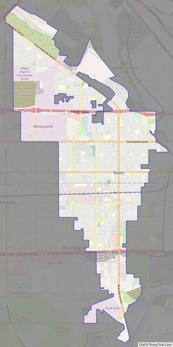
Rialto Road Map
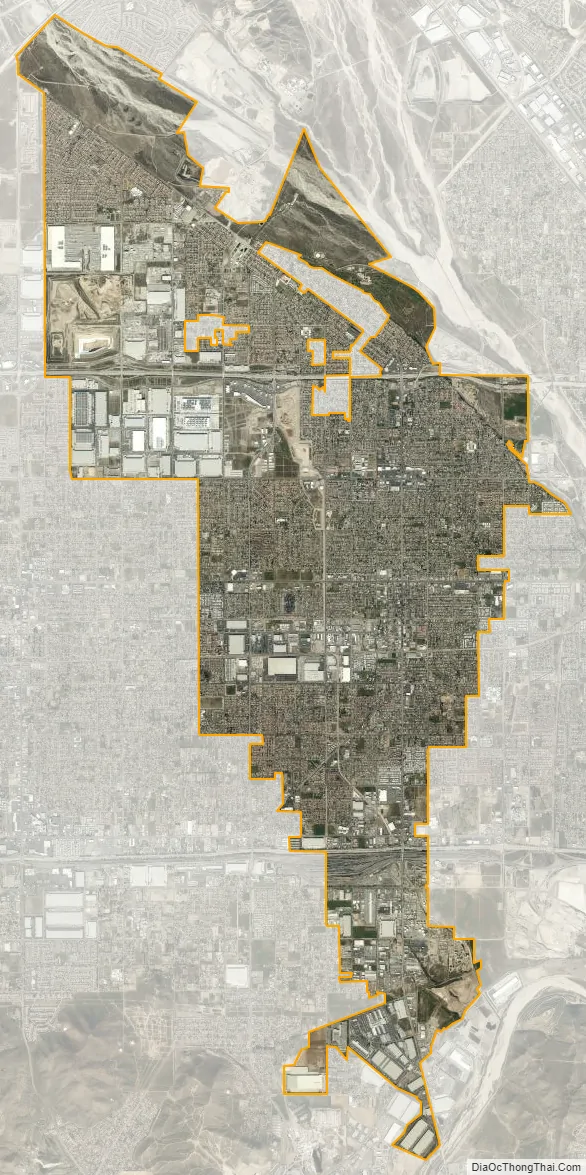
Rialto city Satellite Map
Geography
According to the United States Census Bureau, the city has a total area of 22.4 square miles (58 km). 22.4 square miles (58 km) of it is land and 0.06% is water.
Climate
Rialto, also known as “Bridge City,” experiences a Mediterranean climate, with mild, relatively wet winters and hot, dry summers.
The particularly arid climate during the summer prevents tropospheric clouds from forming, meaning temperatures rise to what is considered Class Orange by NOAA. Rialto gets an average of 16 inches (410 mm) of rain, and most of this rainfall precipitates in winter. During winter, Rialto’s northernmost neighborhood gets snow, heavily at times as a result of its elevation of about 3,000 feet (910 m) above sea level. However, most of the city is out of snowfall’s path.
The seasonal Santa Ana winds are felt particularly strongly in not only Rialto but the greater San Bernardino area as warm and dry air is channeled through nearby Cajon Pass at times during the autumn months. This phenomenon markedly increases the wildfire danger in the foothill, canyon, and mountain communities that the cycle of cold, wet winters and dry summers helps create.
See also
Map of California State and its subdivision:- Alameda
- Alpine
- Amador
- Butte
- Calaveras
- Colusa
- Contra Costa
- Del Norte
- El Dorado
- Fresno
- Glenn
- Humboldt
- Imperial
- Inyo
- Kern
- Kings
- Lake
- Lassen
- Los Angeles
- Madera
- Marin
- Mariposa
- Mendocino
- Merced
- Modoc
- Mono
- Monterey
- Napa
- Nevada
- Orange
- Placer
- Plumas
- Riverside
- Sacramento
- San Benito
- San Bernardino
- San Diego
- San Francisco
- San Joaquin
- San Luis Obispo
- San Mateo
- Santa Barbara
- Santa Clara
- Santa Cruz
- Shasta
- Sierra
- Siskiyou
- Solano
- Sonoma
- Stanislaus
- Sutter
- Tehama
- Trinity
- Tulare
- Tuolumne
- Ventura
- Yolo
- Yuba
- Alabama
- Alaska
- Arizona
- Arkansas
- California
- Colorado
- Connecticut
- Delaware
- District of Columbia
- Florida
- Georgia
- Hawaii
- Idaho
- Illinois
- Indiana
- Iowa
- Kansas
- Kentucky
- Louisiana
- Maine
- Maryland
- Massachusetts
- Michigan
- Minnesota
- Mississippi
- Missouri
- Montana
- Nebraska
- Nevada
- New Hampshire
- New Jersey
- New Mexico
- New York
- North Carolina
- North Dakota
- Ohio
- Oklahoma
- Oregon
- Pennsylvania
- Rhode Island
- South Carolina
- South Dakota
- Tennessee
- Texas
- Utah
- Vermont
- Virginia
- Washington
- West Virginia
- Wisconsin
- Wyoming


