Map of Holly town

Map of Holly town, Colorado

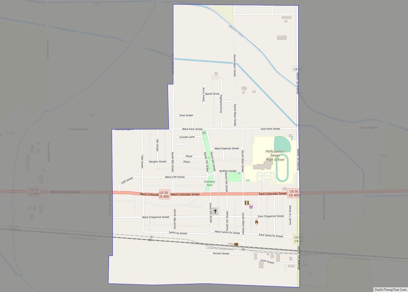
The Town of Holly is a statutory town in Prowers County in southeastern Colorado, United States, near the Kansas border. Located four miles (6 km) from the Kansas border at an elevation of 3,392 feet (1,034 m), Holly is the lowest elevation town in Colorado. The town population was 837 at the 2020 United States Census. Holly … Read more

Map of Holly Hills CDP

Map of Holly Hills CDP

Holly Hills is an unincorporated community and a census-designated place (CDP) located in and governed by Arapahoe County, Colorado, United States. Holly Hills is an enclave of the City and County of Denver. The CDP is a part of the Denver–Aurora–Lakewood, CO Metropolitan Statistical Area. The population of the Holly Hills CDP was 2,683 at … Read more

Map of Hotchkiss town

Map of Hotchkiss town

Hotchkiss is a statutory town in Delta County, Colorado, United States. The population was 875 at the 2020 census. A post office called Hotchkiss has been in operation since 1882. The town is named after Enos T. Hotchkiss, a local pioneer. Hotchkiss town overview: Name: Hotchkiss town LSAD Code: 43 LSAD Description: town (suffix) State: … Read more

Map of Hot Sulphur Springs town

Map of Hot Sulphur Springs town

Hot Sulphur Springs is a statutory town and the county seat of Grand County, Colorado, United States. The town is located near Byers Canyon between Granby and Kremmling, 95 miles (153 km) northwest of Denver and 30 miles (48 km) northwest of Winter Park. The town population was 687 at the 2020 census. Its elevation is 7,680 … Read more

Map of Hooper town

Map of Hooper town, Colorado

The Town of Hooper is a Statutory Town located in the San Luis Valley in Alamosa County, Colorado, United States. The population was 81 at the 2020 census. Hooper town overview: Name: Hooper town LSAD Code: 43 LSAD Description: town (suffix) State: Colorado County: Alamosa County Elevation: 7,559 ft (2,304 m) Total Area: 0.25 sq mi (0.65 km²) Land Area: … Read more

Map of Hugo town

Map of Hugo town, Colorado

Hugo is a statutory town in and the county seat of Lincoln County, Colorado, United States. The town population was 787 at the 2020 census. Hugo town overview: Name: Hugo town LSAD Code: 43 LSAD Description: town (suffix) State: Colorado County: Lincoln County Incorporated: June 21, 1909 Elevation: 5,039 ft (1,536 m) Total Area: 0.91 sq mi (2.36 km²) Land … Read more

Map of Hudson town

Map of Hudson town, Colorado

The Town of Hudson is a home rule municipality in Weld County, Colorado, United States. The population was 1,651 at the 2020 census. A post office called Hudson has been in operation since 1883. The town derives its name from the town company, Hudson City Land and Improvement Co. Hudson town overview: Name: Hudson town … Read more

Map of Howard CDP

Map of Howard CDP, Colorado

Howard is a census-designated place (CDP) and post office in and governed by Fremont County, Colorado, United States. The CDP is a part of the Cañon City, CO Micropolitan Statistical Area. The Howard post office has the ZIP Code 81233. At the United States Census 2020, the population of the Howard CDP was 852. Howard … Read more

Map of Idledale CDP

Map of Idledale CDP

Idledale is an unincorporated town, a post office, and a census-designated place (CDP) located in and governed by Jefferson County, Colorado, United States. The CDP is a part of the Denver–Aurora–Lakewood, CO Metropolitan Statistical Area. The Idledale post office has the ZIP code 80453. At the United States Census 2020, the population of the Idledale … Read more

Map of Idalia CDP

Map of Idalia CDP

Idalia is an unincorporated town, a post office, and a census-designated place (CDP) located in Yuma County, Colorado, United States. The Idalia post office has the ZIP Code 80735. At the United States Census 2020, the population of the Idalia CDP was 97. Idalia CDP overview: Name: Idalia CDP LSAD Code: 57 LSAD Description: CDP … Read more

Map of Idaho Springs city

Map of Idaho Springs city

The City of Idaho Springs is the statutory city that is the most populous municipality in Clear Creek County, Colorado, United States. Idaho Springs is a part of the Denver–Aurora–Lakewood, CO Metropolitan Statistical Area. As of the 2020 census it had a population of 1,782. Idaho Springs is located in Clear Creek Canyon, in the … Read more

Map of Indian Hills CDP

Map of Indian Hills CDP, Colorado

Indian Hills is an unincorporated town, a post office, and a census-designated place (CDP) located in and governed by Jefferson County, Colorado, United States. The CDP is a part of the Denver–Aurora–Lakewood, CO Metropolitan Statistical Area. The Indian Hills post office has the ZIP code 80454. At the United States Census 2020, the population of … Read more